Locking Castle
Settlement in Somerset
England
Locking Castle

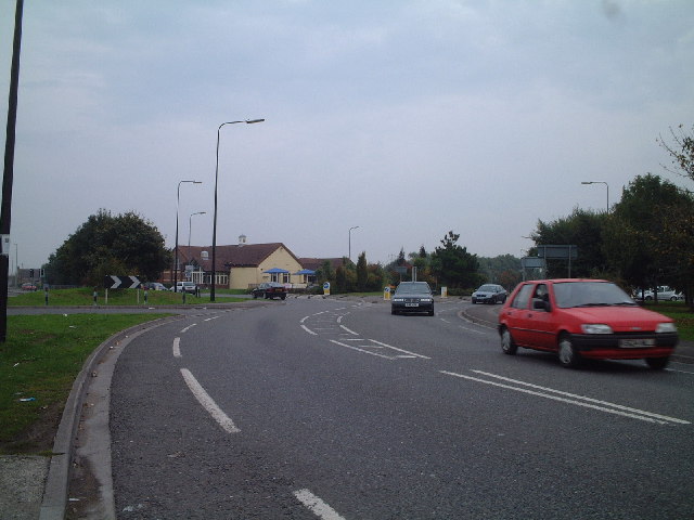
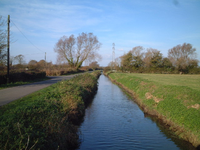
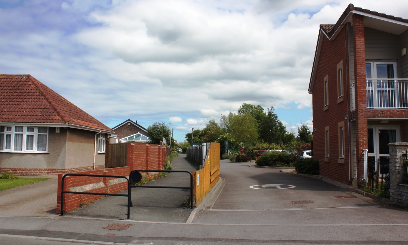
Locking Castle is a small residential area situated in the county of Somerset, England. It is located approximately three miles southwest of Weston-super-Mare, a popular seaside town in Somerset. The area is predominantly residential and is known for its quiet and peaceful atmosphere.
Locking Castle is home to a mix of housing types, including detached and semi-detached houses, as well as some apartment buildings. The properties in the area are well-maintained and surrounded by green spaces, giving the neighborhood a pleasant and picturesque feel.
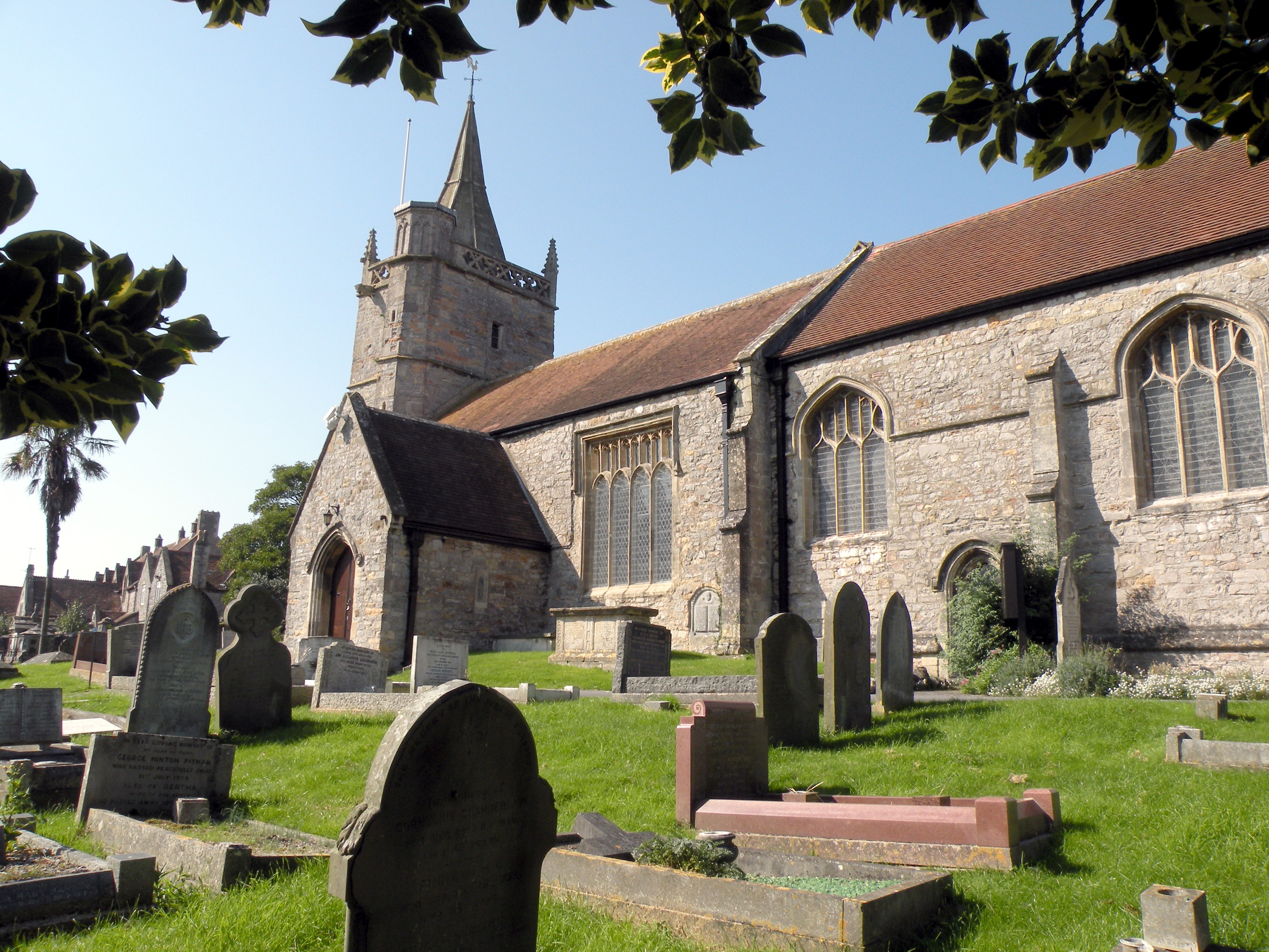
One of the notable features of Locking Castle is the Locking Castle Church. This modern church serves as a focal point for the community and offers regular services and events for residents.
The area benefits from its proximity to local amenities and facilities. The nearby Morrisons supermarket provides residents with convenient access to grocery shopping, while the Locking Castle Medical Center offers healthcare services.
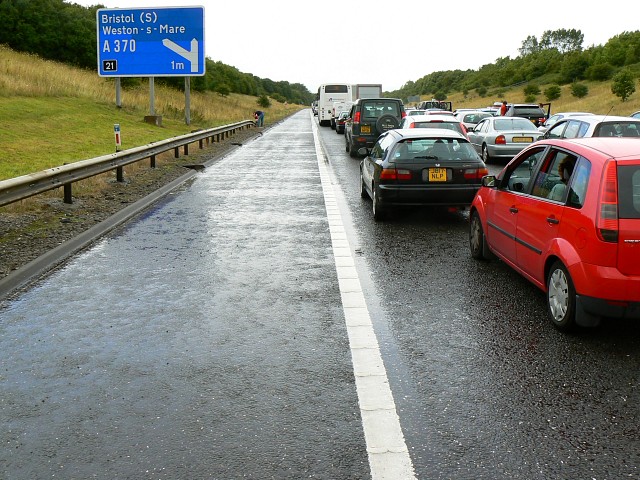
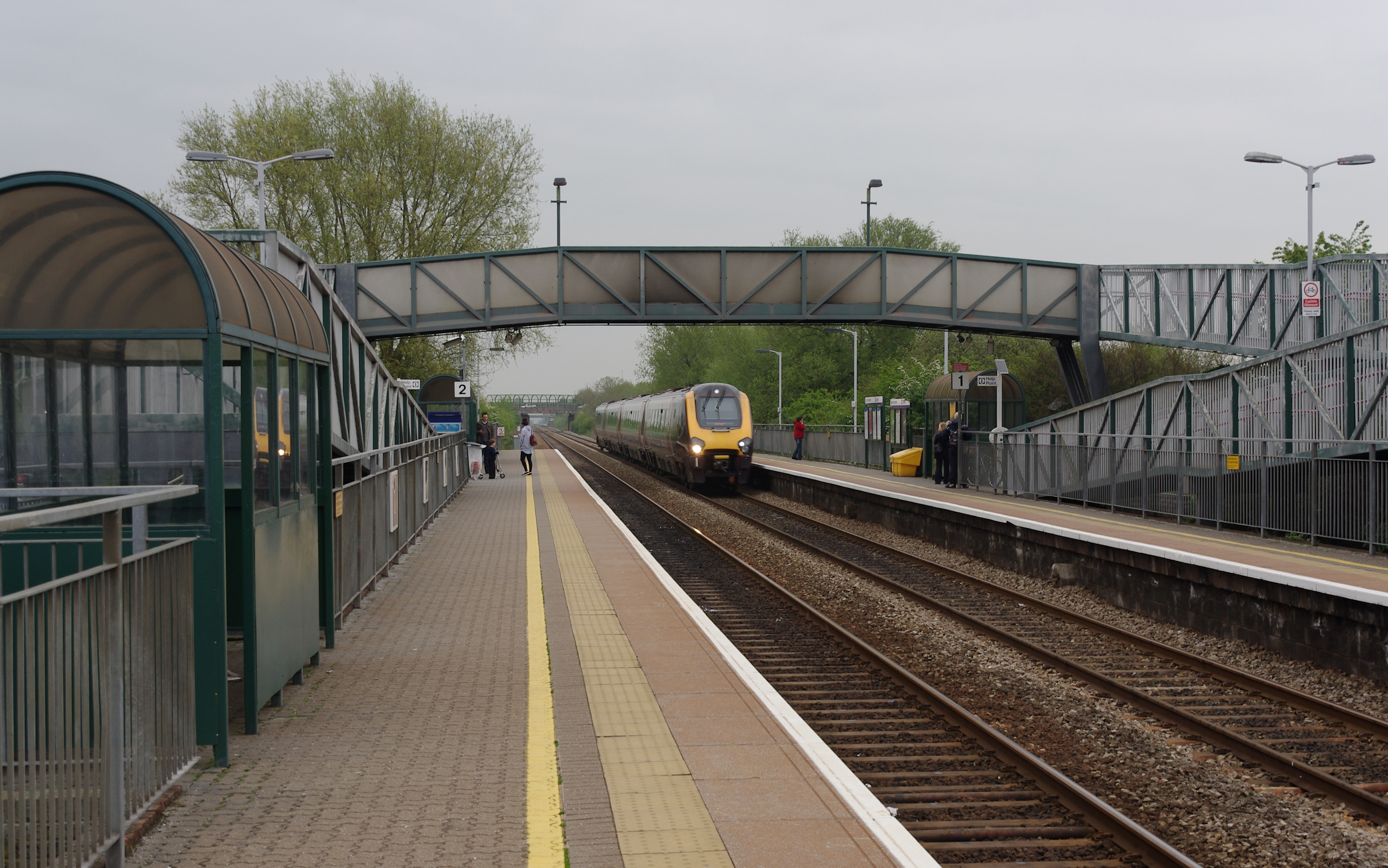
Locking Castle is also well-connected to transportation routes. The M5 motorway is easily accessible, providing quick and convenient travel to other parts of Somerset and beyond. Additionally, the nearby Weston Milton railway station offers regular train services to Bristol and other major cities in the region.
Overall, Locking Castle is a peaceful and well-connected residential area, making it an attractive place to live for those seeking a quiet lifestyle with easy access to amenities and transportation links.
If you have any feedback on the listing, please let us know in the comments section below.
Locking Castle Images
Images are sourced within 2km of 51.355397/-2.9112065 or Grid Reference ST3662. Thanks to Geograph Open Source API. All images are credited.


Locking Castle is located at Grid Ref: ST3662 (Lat: 51.355397, Lng: -2.9112065)
Unitary Authority: North Somerset
Police Authority: Avon and Somerset
What 3 Words
///bonkers.craftsman.elevates. Near St Georges, Somerset
Nearby Locations
Related Wikis
Worle railway station
Worle railway station, on the Bristol to Exeter line, serves the Worle, West Wick and St Georges suburbs of Weston-super-Mare in North Somerset, England...
Worle Town railway station
Worle Town railway station served the village of Worle, North Somerset, England, from 1897 to 1940 on the Weston, Clevedon and Portishead Railway. ��2...
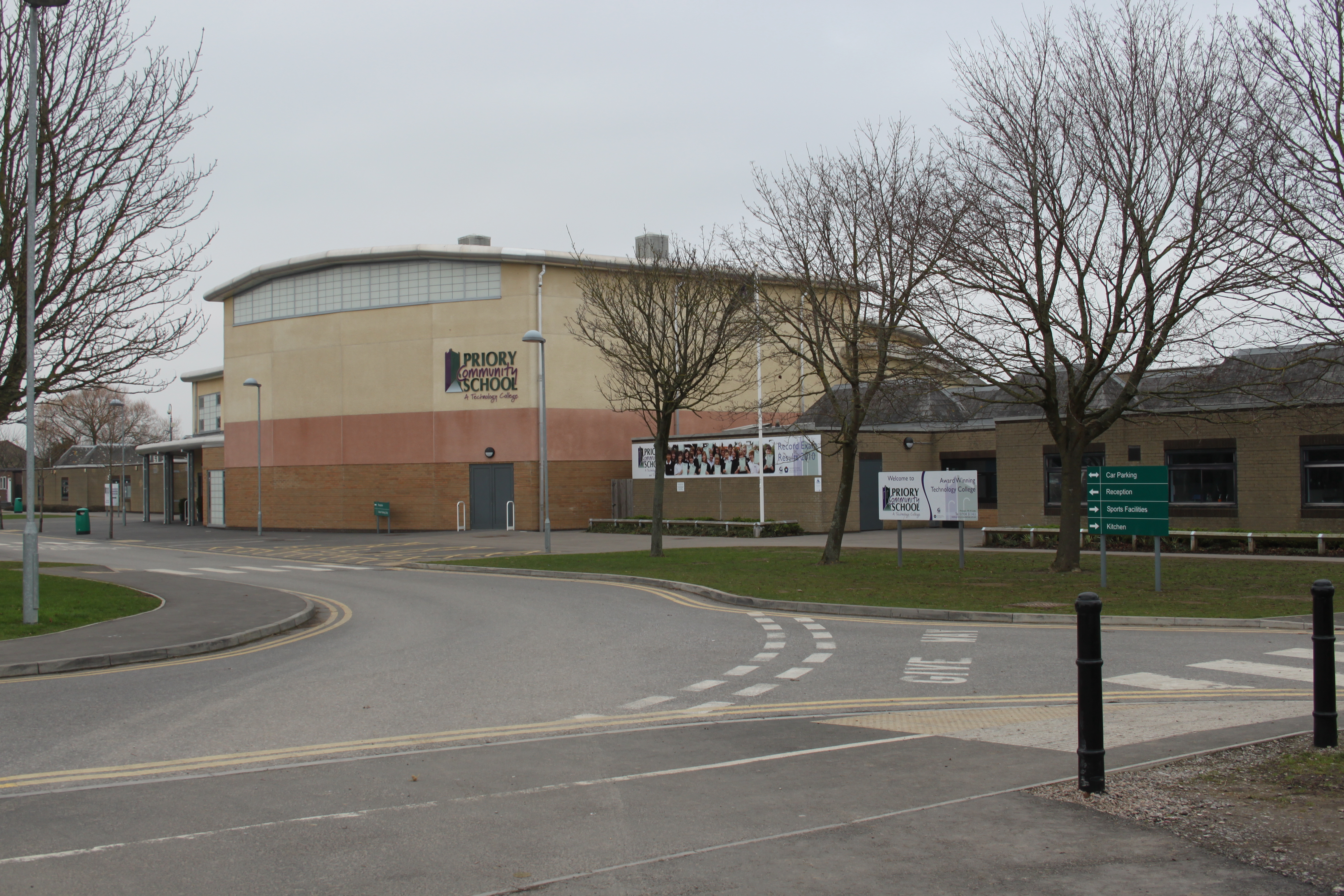
Priory Community School
Priory Community School - an Academy Trust (often shortened to PCSA) is a school in Worle, a historical village close to Weston-super-Mare in North Somerset...

Worle
Worle ( WURL) is a large village in North Somerset which is joined to the seaside town of Weston-super-Mare on its western edge. It, however, maintains...
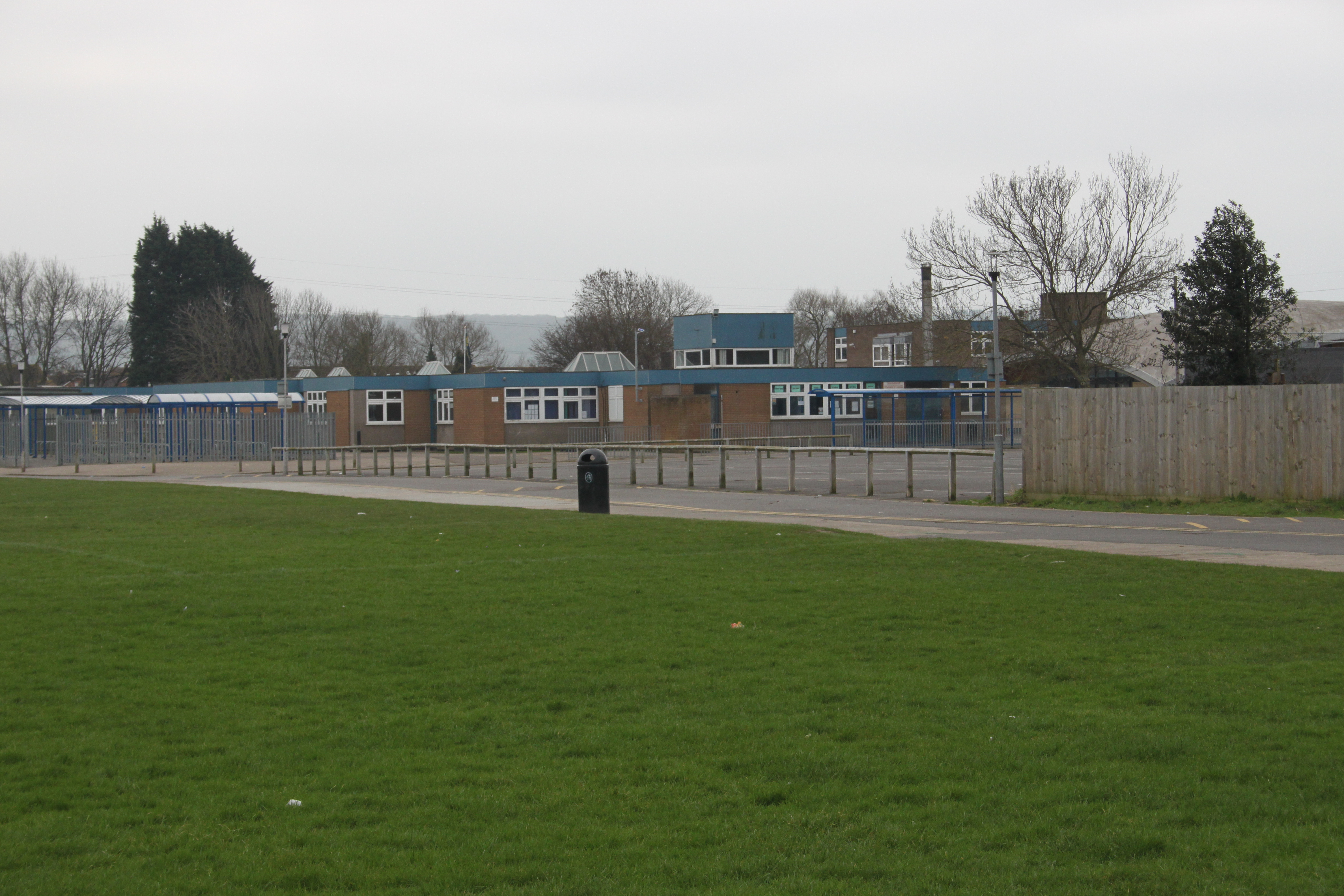
Worle Community School
Worle Community School - an Academy (often shortened to WCSA) is a coeducational secondary school academy located in Worle, a suburb of Weston-super-Mare...
St. Georges, North Somerset
St. Georges is a civil parish and village in the unitary authority of North Somerset, England. Its population in the 2011 census was 3,379.The parish is...

Locking Castle
Locking Castle was a castle that once stood on Carberry Hill near the site of RAF Locking in Locking in the North Somerset district of Somerset, England...
Church of St Martin, Worle
The Church of St Martin in Worle within the English county of Somerset has Norman origins. It is a Grade II* listed building. == History == St Martin's...
Nearby Amenities
Located within 500m of 51.355397,-2.9112065Have you been to Locking Castle?
Leave your review of Locking Castle below (or comments, questions and feedback).