Lochton
Settlement in Kincardineshire
Scotland
Lochton
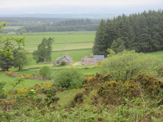
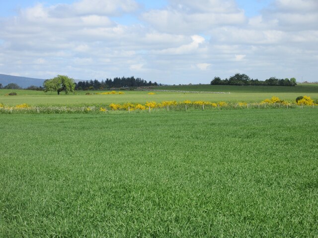
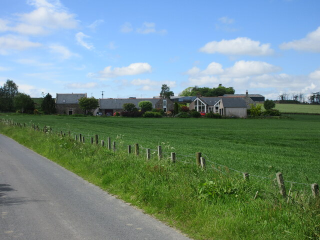
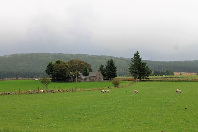
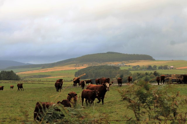
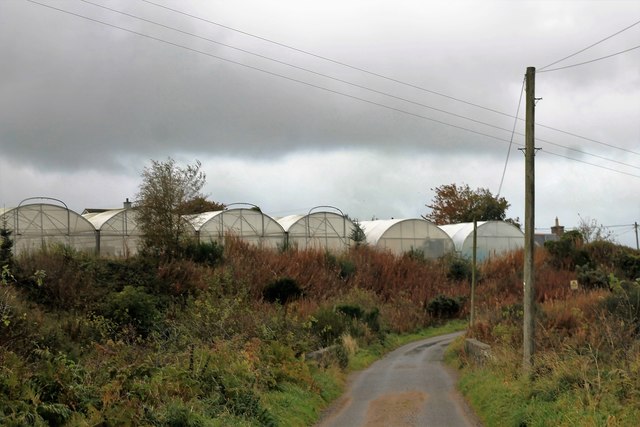
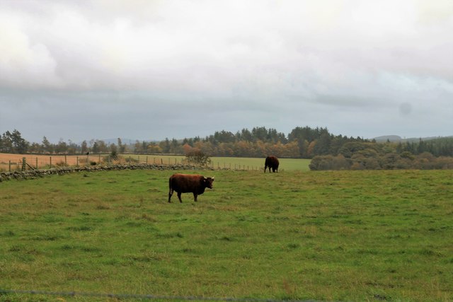
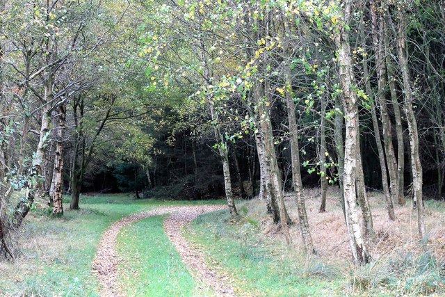
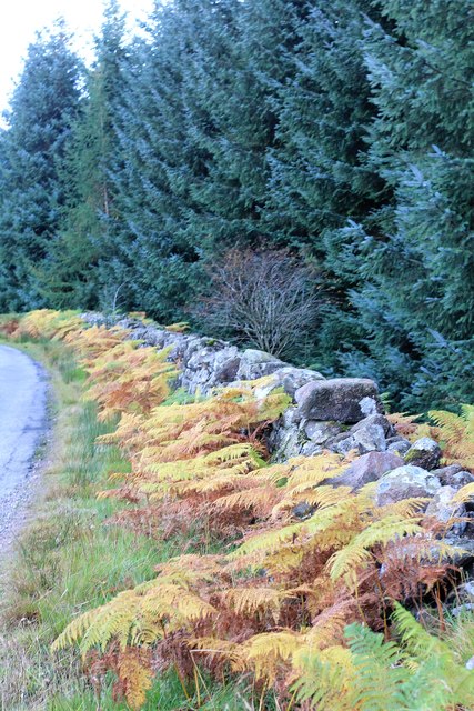
Lochton is a small village located in Kincardineshire, Scotland. Situated near the River Dee, Lochton is known for its picturesque countryside and tranquil atmosphere. The village is surrounded by rolling hills and lush green fields, making it an ideal destination for those seeking a peaceful retreat.
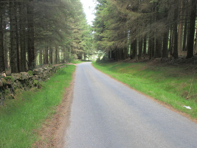
Lochton is home to a tight-knit community of residents who take pride in their village. The village has a few amenities, including a local pub, a small convenience store, and a primary school. There are also several walking trails and cycling routes in the area, allowing residents and visitors to explore the stunning natural beauty of the surrounding countryside.
The village has a rich history, with evidence of settlements dating back to ancient times. Lochton is also known for its traditional Scottish architecture, with many of the buildings in the village retaining their historic charm.
Overall, Lochton is a charming village that offers a quiet and serene escape from the hustle and bustle of city life. Its beautiful surroundings and friendly community make it a truly special place to visit or call home.
If you have any feedback on the listing, please let us know in the comments section below.
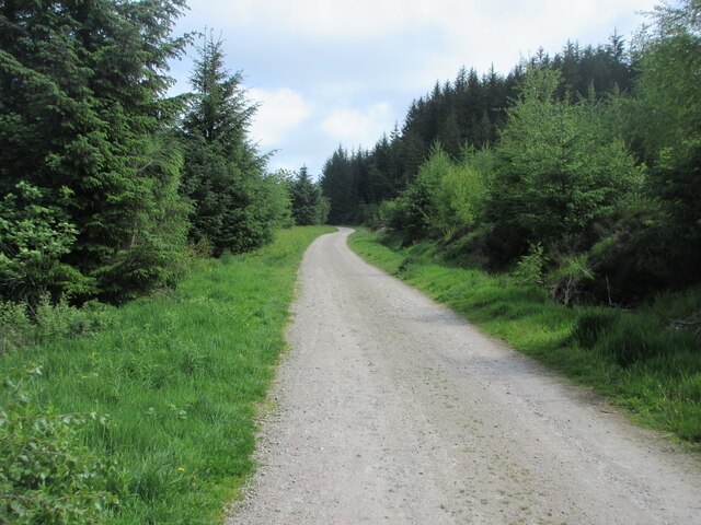
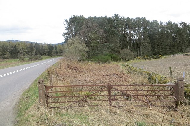
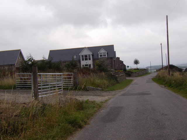
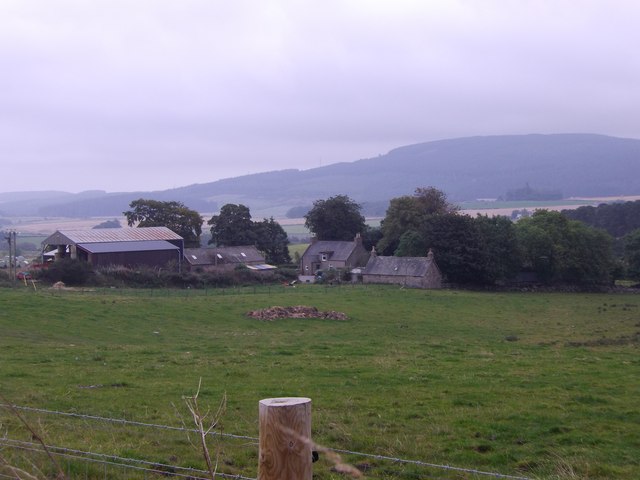
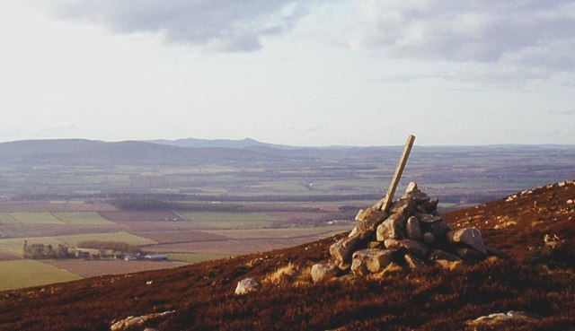
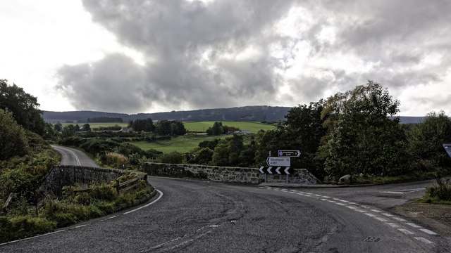
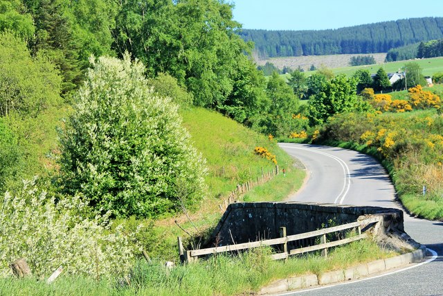
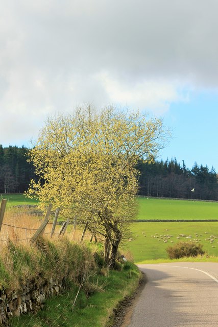
Lochton Images
Images are sourced within 2km of 57.02254/-2.4055147 or Grid Reference NO7592. Thanks to Geograph Open Source API. All images are credited.
Lochton is located at Grid Ref: NO7592 (Lat: 57.02254, Lng: -2.4055147)
Unitary Authority: Aberdeenshire
Police Authority: North East
What 3 Words
///skies.connector.removed. Near Banchory, Aberdeenshire
Nearby Locations
Related Wikis

Lochton
Lochton is a settlement on the Slug Road in Aberdeenshire, Scotland. Roman legions marched from Raedykes to Normandykes Roman Camp somewhat east of Lochton...
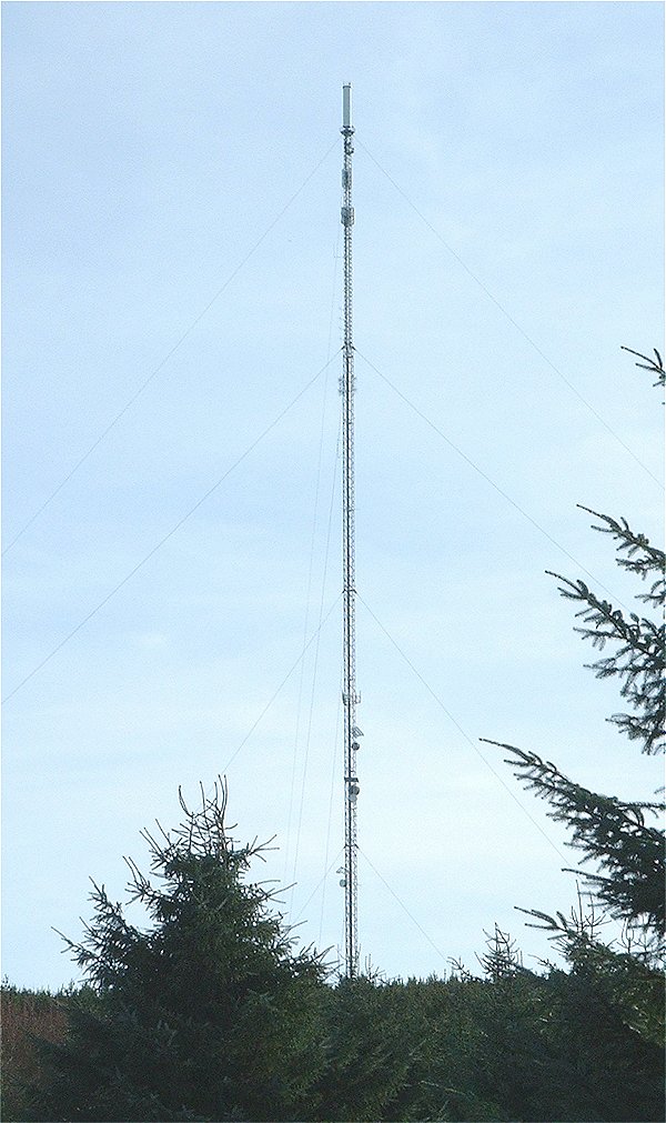
Durris transmitting station
The Durris transmitting station is a broadcasting and telecommunications facility, situated close to the town of Stonehaven, within Durris Forest, within...
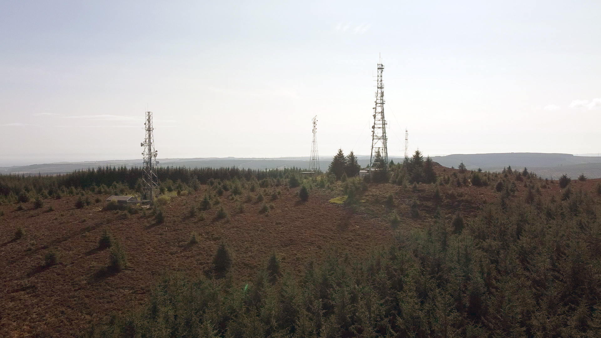
Cairn Mon Earn
Cairn Mon Earn or Cairn-mon-earn is a hill in Aberdeenshire, Scotland. == Location == Cairn Mon Earn (OS: Cairn-mon-earn) lies within the Durris Forest...

Cryne Corse Mounth
Cryne Corse Mounth is an old droving road which ran south across the high ground from the Dee valley in Aberdeenshire, eastern Scotland. Much of the route...
Nearby Amenities
Located within 500m of 57.02254,-2.4055147Have you been to Lochton?
Leave your review of Lochton below (or comments, questions and feedback).