Lochluichart
Settlement in Ross-shire
Scotland
Lochluichart

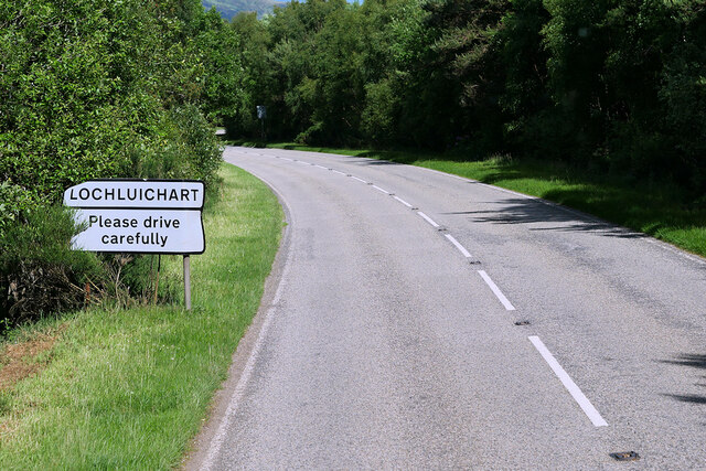
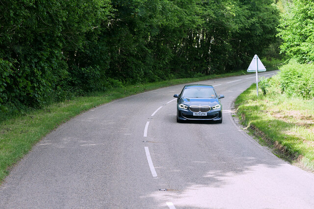
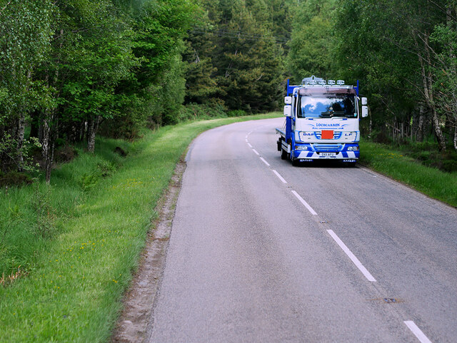
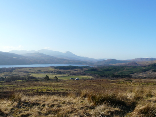
Lochluichart is a small village located in Ross-shire, Scotland. Situated on the shores of Loch Luichart, the village offers stunning views of the surrounding countryside and the nearby mountains of the Scottish Highlands. The area is known for its natural beauty and is popular with outdoor enthusiasts, offering opportunities for hiking, fishing, and birdwatching.
The village itself is quiet and picturesque, with a few local amenities such as a small shop and a pub. The community is close-knit and friendly, with a strong sense of pride in their surroundings. The local economy is largely based on tourism, with visitors drawn to the area for its peaceful atmosphere and scenic landscapes.
Lochluichart is also home to a hydroelectric power station, which harnesses the power of the nearby loch to generate electricity for the surrounding area. This station is an important part of the local infrastructure and provides employment opportunities for residents.
Overall, Lochluichart is a charming village that offers a tranquil escape from the hustle and bustle of city life, with plenty of opportunities to explore the natural beauty of the Scottish Highlands.
If you have any feedback on the listing, please let us know in the comments section below.
Lochluichart Images
Images are sourced within 2km of 57.627399/-4.7993662 or Grid Reference NH3263. Thanks to Geograph Open Source API. All images are credited.


Lochluichart is located at Grid Ref: NH3263 (Lat: 57.627399, Lng: -4.7993662)
Unitary Authority: Highland
Police Authority: Highlands and Islands
What 3 Words
///protests.inspector.imparting. Near Strathpeffer, Highland
Nearby Locations
Related Wikis
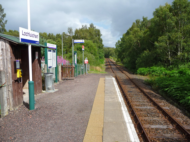
Lochluichart railway station
Lochluichart railway station is a railway station on the Kyle of Lochalsh Line, serving the village of Lochluichart in the north of Scotland. The station...

Grudie
Grudie (Grùididh in Scottish Gaelic) is a village, situated between Loch a' Chuilinn and Loch Luichart with the River Bran flowing past Grudie east to...

A832 road
The A832 is a road in the Scottish Highlands, linking Cromarty, on the east coast, to Gairloch on the west coast, and beyond Gairloch to Braemore Junction...
Gorstan
Gorstan (Scottish Gaelic: An Goirtean) is a small hamlet in Garve, Ross-shire region in the Scottish council area of Highland. == References ==
Related Videos

Passenger Train By Loch Luichart Kyle Railway Line On History Visit To Highlands Of Scotland
Tour Scotland short travel 4K video clip of a passenger train by Loch Luichart on the Kyle railway line on ancestry, genealogy, ...
Nearby Amenities
Located within 500m of 57.627399,-4.7993662Have you been to Lochluichart?
Leave your review of Lochluichart below (or comments, questions and feedback).