Livesey Fold

Settlement in Lancashire

England

Livesey Fold

Housing on Pole Lane, Darwen
Housing on Pole Lane, Darwen Credit: Chris Heaton

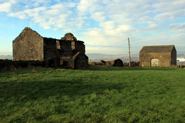
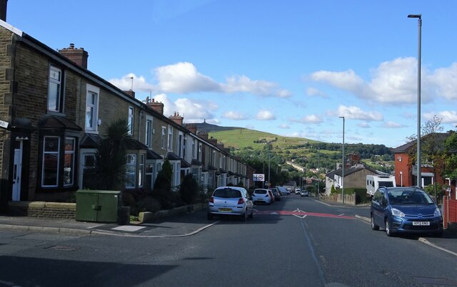
Livesey Fold is a charming village nestled in the county of Lancashire, England. Located near the larger town of Blackburn, it offers a peaceful and idyllic setting for its residents. The village is known for its rich history, dating back to medieval times, and its picturesque landscapes that attract visitors from near and far.

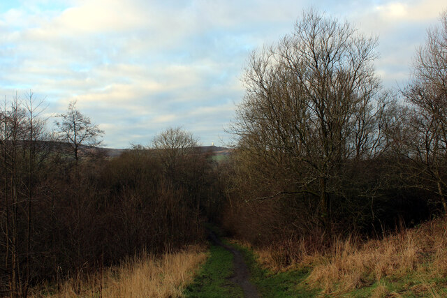
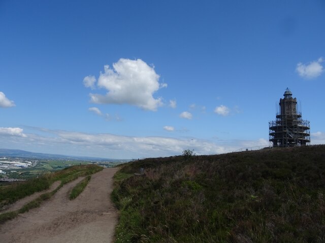
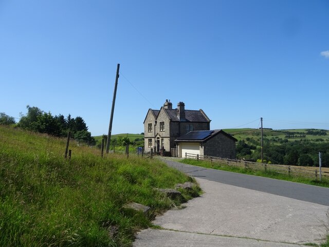
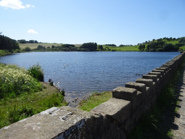
One of the prominent features of Livesey Fold is its stunning countryside, with rolling hills, lush green fields, and meandering streams. This natural beauty provides ample opportunities for outdoor activities such as hiking, cycling, and picnicking. Additionally, the village is surrounded by a network of footpaths and trails, making it a haven for nature enthusiasts.

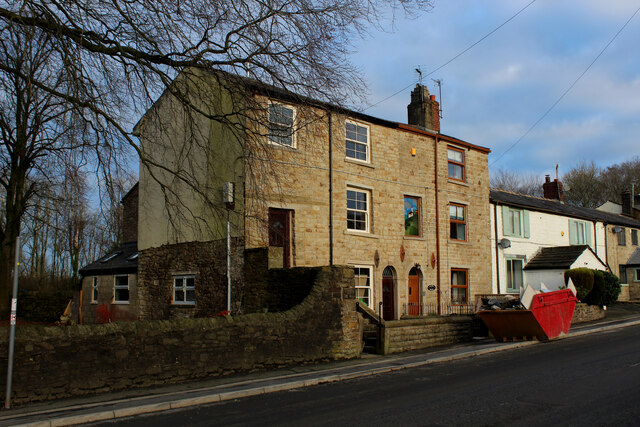
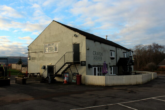
The architecture in Livesey Fold is a blend of old and new, with historic buildings standing alongside modern developments. The village center boasts a range of amenities, including a post office, shops, and local pubs, providing convenience and a sense of community for its residents.

Livesey Fold is also home to several notable landmarks. St. Francis Church, a stunning place of worship, stands as a testament to the village's religious heritage. Additionally, the historic Livesey Hall, a Grade II listed building, offers a glimpse into the area's past with its beautiful architecture.

Overall, Livesey Fold is a charming village that offers a serene and picturesque environment for both residents and visitors. Its rich history, natural beauty, and friendly community make it a desirable place to live and explore in the heart of Lancashire.

If you have any feedback on the listing, please let us know in the comments section below.
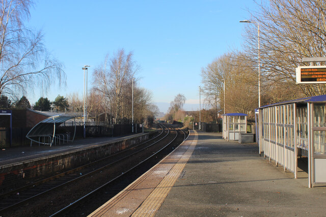
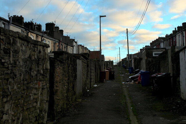
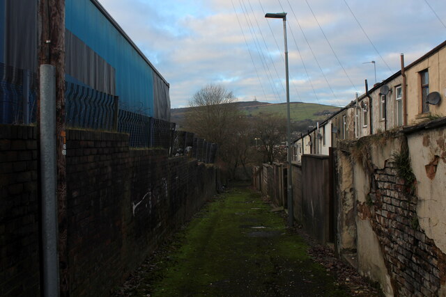
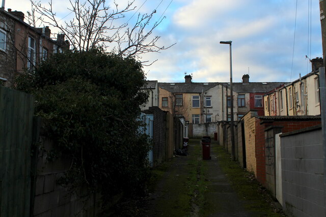
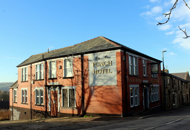
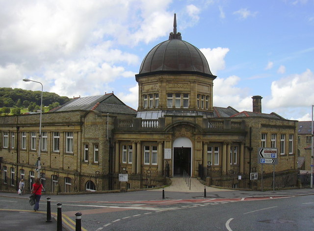
Livesey Fold Images

Images are sourced within 2km of 53.698677/-2.475125 or Grid Reference SD6822. Thanks to Geograph Open Source API. All images are credited.

Housing on Pole Lane, Darwen
Entering Woodland Area from Priory Drive, Darwen Small area of woodland in Darwen, bounded by Priory Drive, Pole Lane and Sough Lane
Entering Woodland Area from Priory Drive, Darwen
Small area of woodland in Darwen, bounded by Priory Drive, Pole Lane and Sough Lane
Craven Heifer, Darwen Located on Pole Lane in Darwen.
Unusual name for a hostelry outside the Craven area, centred around Skipton in Yorkshire. It refers to a heifer that weighed over a ton and was bred in Gargrave, 1807.
Craven Heifer, Darwen
Located on Pole Lane in Darwen. Unusual name for a hostelry outside the Craven area, centred around Skipton in Yorkshire. It refers to a heifer that weighed over a ton and was bred in Gargrave, 1807.
Harwood Fold A group of buildings in a pasture near Pot House, consisting of two in a ruinous state including a farmhouse - and a stone barn, still in service.
Harwood Fold
A group of buildings in a pasture near Pot House, consisting of two in a ruinous state including a farmhouse - and a stone barn, still in service.
Marsh House Lane, Darwen
Footpath towards the Jubilee Tower, Darwen Moor Approaching Darwen Tower, under renovation during the summer of 2021.
Footpath towards the Jubilee Tower, Darwen Moor
Approaching Darwen Tower, under renovation during the summer of 2021.
The Waterhouse, Sunnyhurst Hey The Waterhouse associated with the (now much depleted and disused) Sunnyhurst Hey Reservoir.
The Waterhouse, Sunnyhurst Hey
The Waterhouse associated with the (now much depleted and disused) Sunnyhurst Hey Reservoir.
Earnsdale Reservoir
Earnsdale Reservoir
Olive Lane, Darwen Residential thoroughfare in the old Lancashire town of Darwen
Olive Lane, Darwen
Residential thoroughfare in the old Lancashire town of Darwen
Darwen Station This is Platform 1 on Darwen Station.
Currently on the Clitheroe or Ribble Valley Line, which runs services from Manchester through Blackburn, terminating in Clitheroe
Darwen Station
This is Platform 1 on Darwen Station. Currently on the Clitheroe or Ribble Valley Line, which runs services from Manchester through Blackburn, terminating in Clitheroe
Back Alley behind Sarah Street, Darwen A rather untidy back alley running north from Kay Street in Darwen
Back Alley behind Sarah Street, Darwen
A rather untidy back alley running north from Kay Street in Darwen
Kay Street, Darwen Residential street in the old Lancashire town of Darwen
Kay Street, Darwen
Residential street in the old Lancashire town of Darwen
Back Alley heading South off Ratcliffe Street, Darwen Short alleyway, leading to a dead end at the railway lines
Back Alley heading South off Ratcliffe Street, Darwen
Short alleyway, leading to a dead end at the railway lines
Back Alley behind Pine Street, Darwen Runs between Ratcliffe Street and Starkie Street, giving views over the town towards India Mill.
Back Alley behind Pine Street, Darwen
Runs between Ratcliffe Street and Starkie Street, giving views over the town towards India Mill.
Back Alley leading off Starkie Street, Darwen
Punch Hotel, Darwen Located at 25, Chapels - in Darwen
Punch Hotel, Darwen
Located at 25, Chapels - in Darwen
Moor Lane leading into Knowle Lane, Darwen
Holden Fold, Darwen
Holden Fold, Darwen
Show me another place!

Livesey Fold is located at Grid Ref: SD6822 (Lat: 53.698677, Lng: -2.475125)

Unitary Authority: Blackburn with Darwen

Police Authority: Lancashire

What 3 Words

///deny.filed.common. Near Darwen, Lancashire

Related Wikis

Darwen Aldridge Enterprise Studio

Darwen Aldridge Enterprise Studio (DAES) is a mixed studio school located in Lancashire, UK. It opened in September 2013. It is part of the Aldridge Education...

Barley Bank

Barley Bank was a cricket and football ground in Darwen in England. It was the home ground of Darwen F.C. during their time in the Football League. �...

Darwen Town Hall

Darwen Town Hall is a municipal building in Croft Street, Darwen, Lancashire, England. It is the meeting place of Darwen Town Council. == History == After...

Darwen Library

Darwen Library is a Carnegie library in Darwen, Lancashire, England. It opened in 1908 and is located on Knott Street. == History == The library was officially...

Nearby Amenities

Located within 500m of 53.698677,-2.475125
Place Of Worship
New Methodist Church
Denomination: methodist
Religion: christian
Source: OS_OpenData_StreetView
Lat/Long: 53.7020203/-2.4755725
Crossing: zebra
Source: Bing
Lat/Long: 53.6958526/-2.4710497
Barrier: bollard
Lat/Long: 53.7004964/-2.4756341
Barrier: bollard
Lat/Long: 53.7003893/-2.4761667
Barrier: bollard
Lat/Long: 53.7003933/-2.475795
Heather Bank
Addr City: Darwen
Addr Housenumber: 44
Addr Postcode: BB3 1RH
Addr Street: Sunnymere Drive
Building: house
Source: local_knowledge
Lat/Long: 53.699852/-2.4816091
Darwen Leisure Centre
Leisure: sports_centre
Lat/Long: 53.6960997/-2.4698853
Gibsons
Shop: doityourself
Source: local_knowledge
Lat/Long: 53.6970877/-2.4706801
Parking
Edward Street Car Park
Parking: surface
Lat/Long: 53.6989678/-2.4706954
Traffic Signals
Traffic Signals: signal
Lat/Long: 53.6965484/-2.4699085
Clinic
Darwen Health Centre
Healthcare: clinic
Lat/Long: 53.6958067/-2.4714309
Place Of Worship
Central United Reformed Church
Addr City: Darwen
Addr Postcode: BB3 1AT
Addr Street: Duckworth Street
Fhrs Id: 212117
Religion: christian
Source Addr: FHRS Open Data
Lat/Long: 53.6983255/-2.4700583
Restaurant
Akash
Addr City: Darwen
Addr Housenumber: 196-200
Addr Postcode: BB3 1PX
Addr Street: Duckworth Street
Fhrs Id: 212364
Source Addr: FHRS Open Data
Lat/Long: 53.6982575/-2.4707716
Bank
Lloyds Bank
Addr Country: GB
Brand: Lloyds Bank
Brand Wikidata: Q1152847
Brand Wikipedia: en:Lloyds Bank
Contact Website: https://branches.lloydsbank.com/darwen/213-215-duckworth-street
Lat/Long: 53.6972574/-2.4693215
Car Wash
Hand Car wash
Name En: Hand Car wash
Lat/Long: 53.6980988/-2.4707198
Fast Food
Akash
Addr City: Darwen
Addr Housenumber: 194
Addr Postcode: BB3 1PX
Addr Street: Duckworth Street
Fhrs Id: 211611
Note: Adjoining takeway to restaurant
Source Addr: FHRS Open Data
Takeaway: yes
Lat/Long: 53.6983197/-2.4708445
Restaurant
Amalfi
Addr City: Darwen
Addr Housenumber: 189
Addr Postcode: BB3 1AU
Addr Street: Duckworth Street
Cuisine: italian
Fhrs Id: 536519
Source Addr: FHRS Open Data
Lat/Long: 53.6977921/-2.4697761
Barrier: bollard
Lat/Long: 53.6948155/-2.4717613
Crossing
Crossing: marked
Lat/Long: 53.6983997/-2.4707356
Speed Camera
Lat/Long: 53.698881/-2.4712732
Barrier: bollard
Lat/Long: 53.7006888/-2.4758299
Hughes peak
Ele: 258
Natural: peak
Lat/Long: 53.6956375/-2.4776541
two stones
Natural: stone
Lat/Long: 53.6949107/-2.4753036
Barrier: bollard
Bicycle: yes
Foot: yes
Horse: yes
Motor Vehicle: no
Lat/Long: 53.7006572/-2.4756353
Barrier: bollard
Lat/Long: 53.700311/-2.4760045
The data included in this document is from www.openstreetmap.org. The data is made available under ODbL.

Have you been to Livesey Fold?

Leave your review of Livesey Fold below (or comments, questions and feedback).