Little Witchingham
Settlement in Norfolk Broadland
England
Little Witchingham
Little Witchingham is a small village located in the county of Norfolk, England. Situated approximately 10 miles north-west of the city of Norwich, it falls within the Broadland district. The village lies on the banks of the river Wensum, which adds to its picturesque setting.
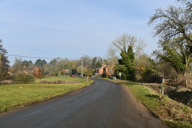
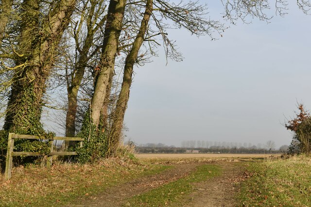
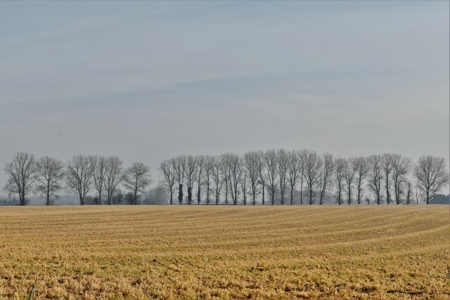
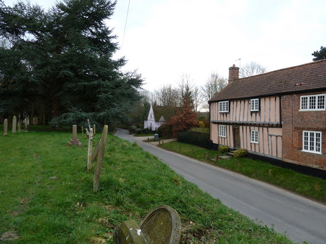
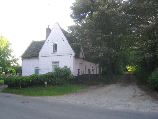
With a population of around 400 residents, Little Witchingham maintains a close-knit community atmosphere. The village is characterized by its charming thatched-roof cottages and traditional brick houses, giving it a quintessentially English countryside feel. The surrounding landscape is mainly agricultural, with fields and meadows stretching out in all directions.
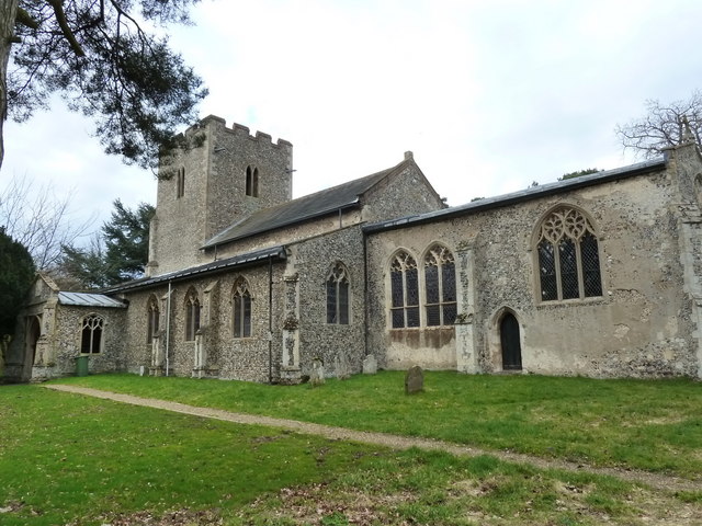
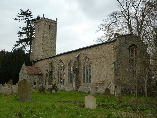
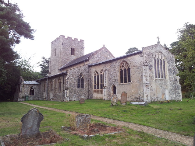
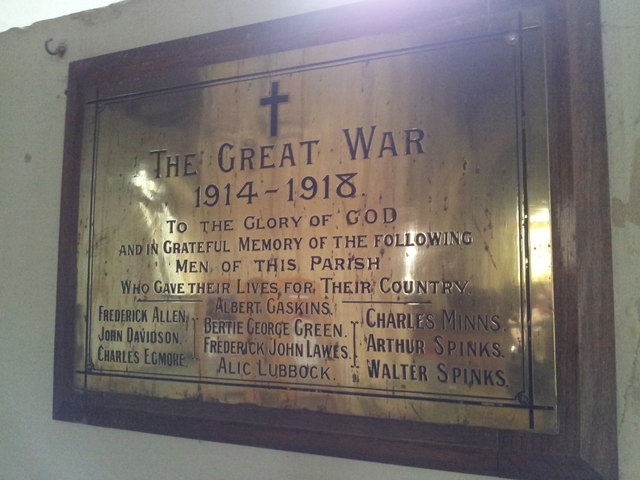
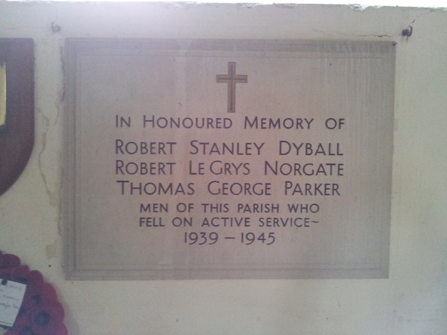
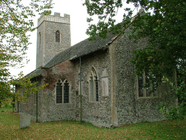
The village is home to the Grade II listed All Saints Church, which dates back to the 15th century. The church's architecture and historical significance attract visitors from near and far, while also serving as a focal point for the local community.
For outdoor enthusiasts, Little Witchingham offers various opportunities to explore the surrounding countryside. The nearby Wensum Valley provides picturesque walking and cycling routes, and the river itself is popular for boating and fishing. The village is also within close proximity to the Norfolk Broads, a network of navigable waterways, making it a convenient base for those looking to explore this unique wetland area.
While Little Witchingham is primarily a residential village, nearby towns such as Reepham and Norwich offer a range of amenities including shops, schools, and leisure facilities, ensuring residents have easy access to essential services.
Overall, Little Witchingham provides a tranquil and idyllic setting for those seeking a rural lifestyle, with its beautiful surroundings and strong sense of community.
If you have any feedback on the listing, please let us know in the comments section below.
Little Witchingham Images
Images are sourced within 2km of 52.73774/1.1401131 or Grid Reference TG1220. Thanks to Geograph Open Source API. All images are credited.


Little Witchingham is located at Grid Ref: TG1220 (Lat: 52.73774, Lng: 1.1401131)
Administrative County: Norfolk
District: Broadland
Police Authority: Norfolk
What 3 Words
///runways.hoped.budding. Near Reepham, Norfolk
Nearby Locations
Related Wikis
Little Witchingham
Little Witchingham is a village and civil parish in the English county of Norfolk. It covers an area of 3.01 km2 (1.16 sq mi) and had a population of 36...
St Faith's Church, Little Witchingham
St Faith's Church is a redundant Anglican church in the village of Little Witchingham in Norfolk, England. It is recorded in the National Heritage List...

Guton
Guton was a settlement in the county of Norfolk in England mentioned in the Domesday Book as Guthetuna. It is described as being held by Osbert from Tihel...

Alderford
Alderford is a village and civil parish in the English county of Norfolk, about ten miles (16 km) north-west of Norwich. The name 'Alderford' derives from...
Nearby Amenities
Located within 500m of 52.73774,1.1401131Have you been to Little Witchingham?
Leave your review of Little Witchingham below (or comments, questions and feedback).