Lethendry
Settlement in Morayshire
Scotland
Lethendry

Lethendry is a small village located in the county of Morayshire, Scotland. Situated approximately 4 miles east of the town of Elgin, Lethendry is nestled in the picturesque countryside of the region. The village is well-known for its peaceful and idyllic setting, offering residents and visitors a tranquil escape from the hustle and bustle of urban life.
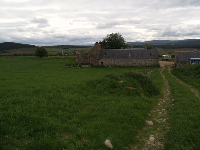
Lethendry is characterized by its charming rural architecture, with traditional stone houses and cottages dotting the landscape. The village is surrounded by rolling hills and farmland, providing stunning panoramic views of the surrounding countryside. The area is also known for its rich agricultural heritage, with farming playing a significant role in the local economy.
Despite its small size, Lethendry boasts a strong sense of community. The village is home to a close-knit population, with residents actively engaging in various community activities and events. The village hall serves as a central hub for social gatherings, meetings, and celebrations.
For outdoor enthusiasts, Lethendry offers an abundance of recreational opportunities. The surrounding area is crisscrossed with walking and cycling paths, allowing visitors to explore the natural beauty of Morayshire. Additionally, the nearby River Lossie provides opportunities for fishing and other water-based activities.
Lethendry's proximity to Elgin provides access to a wider range of amenities, including shops, supermarkets, schools, and healthcare facilities. The village also benefits from good transportation links, with regular bus services connecting Lethendry to neighboring towns and cities.
In summary, Lethendry is a charming village in Morayshire, Scotland, known for its peaceful atmosphere, stunning countryside, and strong sense of community.
If you have any feedback on the listing, please let us know in the comments section below.
Lethendry Images
Images are sourced within 2km of 57.332529/-3.5269298 or Grid Reference NJ0827. Thanks to Geograph Open Source API. All images are credited.


Lethendry is located at Grid Ref: NJ0827 (Lat: 57.332529, Lng: -3.5269298)
Unitary Authority: Highland
Police Authority: Highlands and Islands
What 3 Words
///success.sunflower.snipped. Near Grantown-on-Spey, Highland
Nearby Locations
Related Wikis

Balmenach distillery
Balmenach distillery was established in 1824 by James McGregor, from a family of farmers and illicit distillers who resided in Tomintoul. == History... ==
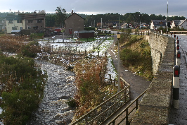
Cromdale
Cromdale (Scottish Gaelic: Cromdhail, from crom 'crooked' and dal 'valley, dale') is a village in Strathspey, in the Highland council area of Scotland...
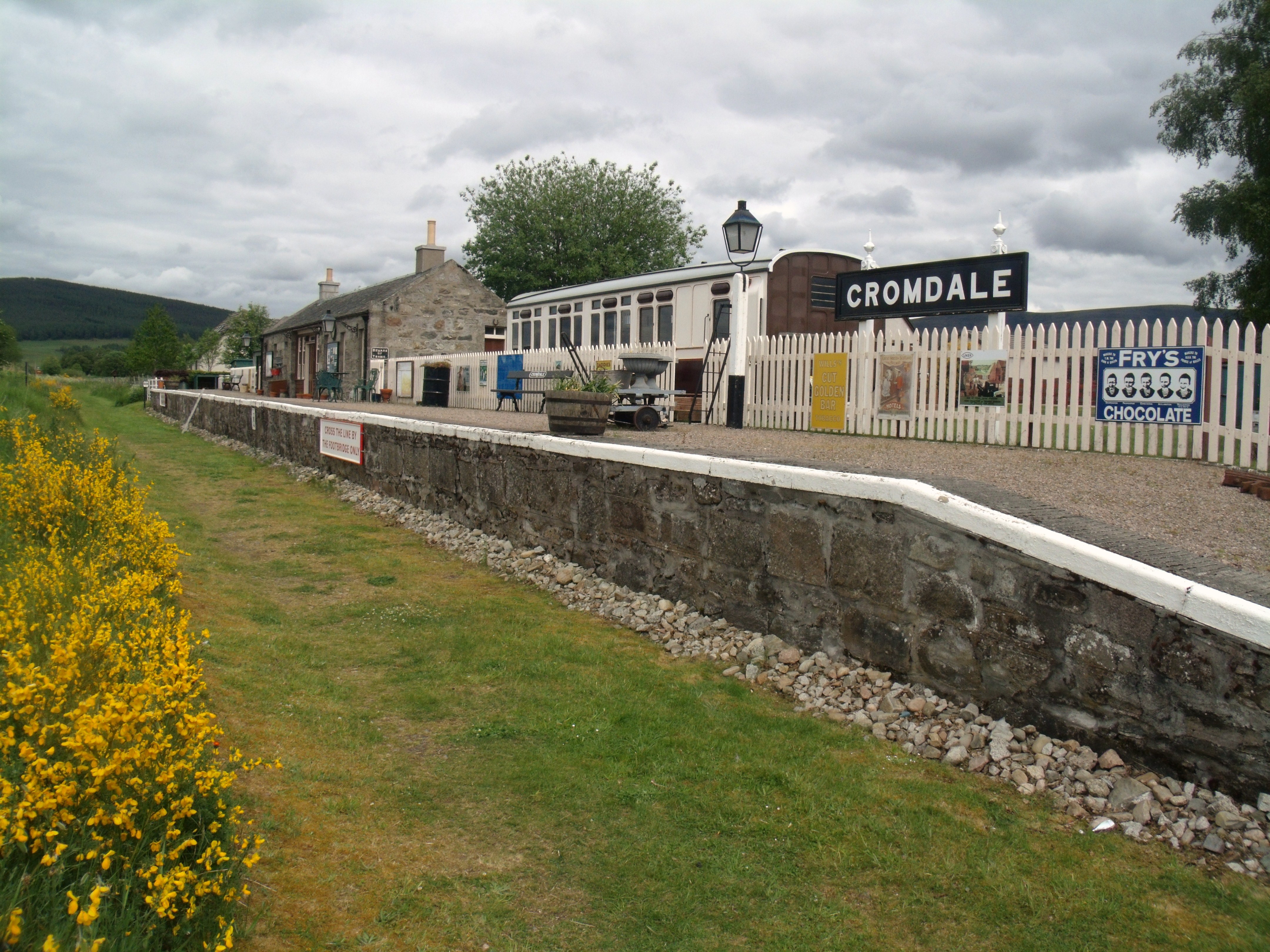
Cromdale railway station
Cromdale railway station served the village of Cromdale, Highland, in Scotland. == History == The station was opened by the Strathspey Railway (GNoSR)...
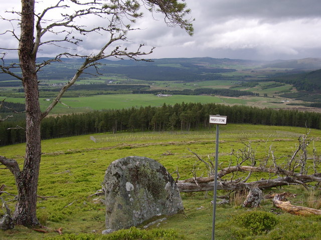
Battle of Cromdale
The Battle of Cromdale took place at the Haughs of Cromdale on 30 April and 1 May 1690. The site is on a hillside near the village of Cromdale, Strathspey...
Have you been to Lethendry?
Leave your review of Lethendry below (or comments, questions and feedback).