Markyate

Settlement in Hertfordshire / Bedfordshire Dacorum

England

Markyate

Bonners Farm, Markyate
Bonners Farm, Markyate Credit: David Howard

Markyate is a village located on the border of Hertfordshire and Bedfordshire, in the eastern region of England. Situated approximately 30 miles northwest of London, the village is nestled within a rural landscape characterized by rolling hills and picturesque countryside.

The village is known for its rich history, dating back to Roman times. Evidence of Roman occupation has been found in the area, including pottery fragments and a Roman road. Markyate Abbey, a former Augustinian priory, is one of the village's most notable landmarks. Originally founded in the 12th century, the abbey now serves as a private residence.

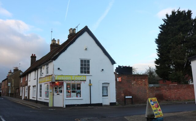
Markyate offers a range of amenities and services to its residents and visitors. The village boasts a primary school, a few local shops, and several pubs and restaurants, providing a sense of community and convenience. Additionally, the nearby towns of Harpenden and St Albans offer a wider array of amenities, including shopping centers, supermarkets, and recreational facilities.

The surrounding countryside provides ample opportunities for outdoor activities, such as hiking, cycling, and horse riding. The Dunstable Downs, an Area of Outstanding Natural Beauty, is located just a short drive away, offering stunning views over the surrounding landscape.

Transportation links in Markyate are well-connected, with easy access to major road networks, including the M1 motorway, which provides convenient links to London and other major cities. Trains can be accessed at nearby stations in Harpenden and Luton, offering regular services to London and other destinations.

Overall, Markyate is a charming village that combines a rich historical heritage with the tranquility of rural living, making it an attractive place to reside or visit.

If you have any feedback on the listing, please let us know in the comments section below.
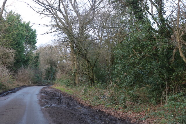
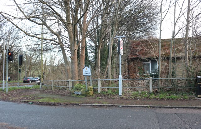
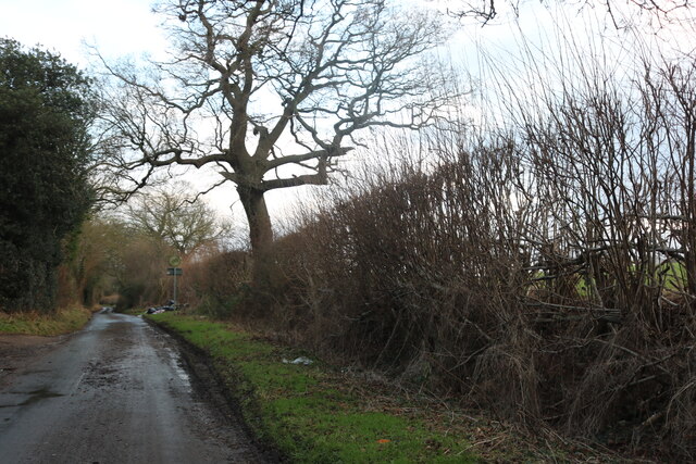
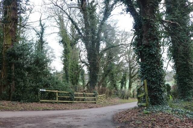
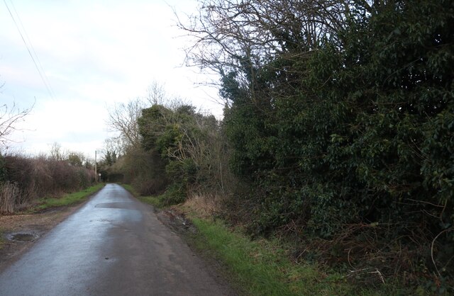
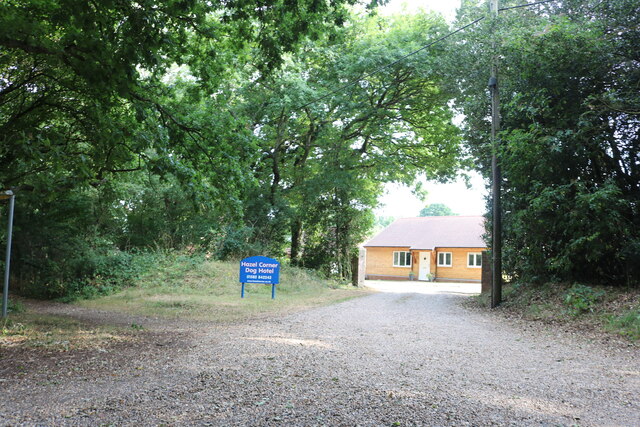
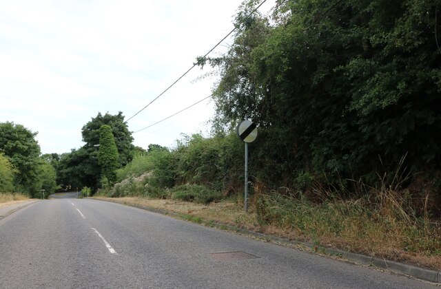
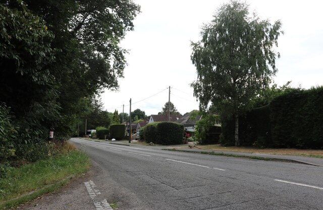
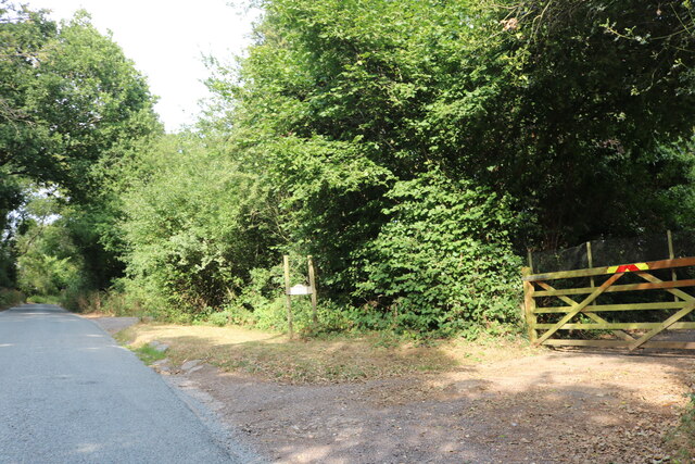
Markyate Images

Images are sourced within 2km of 51.835974/-0.46053 or Grid Reference TL0616. Thanks to Geograph Open Source API. All images are credited.

Bonners Farm, Markyate
The entrance to Broomhills shooting ground, Markyate
Windmill Road, Markyate
Watling Street, Markyate From The Ridings
Watling Street, Markyate
From The Ridings
London Road, Markyate
Fusion Foods on London Road, Markyate It was Massala Village but is still an Indian Restaurant, also called Markyate Grill.
Fusion Foods on London Road, Markyate
It was Massala Village but is still an Indian Restaurant, also called Markyate Grill.
Persephone new age shop on High Street Markyate
High Street Markyate At the junction of Watling Street
High Street Markyate
At the junction of Watling Street
Millfield Lane, Caddington
The entrance to Markyatecell Park, Caddington
Pipers Lane, Aley Green
Hazel Corner dog hotel, Markyate
Mancroft Road, Slip End
Woodside Animal Farm, Slip End A farm where children can have parties and get to know the animals. <span class="nowrap"><a title="https://www.woodsidefarm.co.uk/" rel="nofollow ugc noopener" href="https://www.woodsidefarm.co.uk/">Link</a><img style="margin-left:2px;" alt="External link" title="External link - shift click to open in new window" src="https://s1.geograph.org.uk/img/external.png" width="10" height="10"/></span>
Woodside Animal Farm, Slip End
A farm where children can have parties and get to know the animals. LinkExternal link
Woodside Animal Farm, Slip End
The entrance to Foxdell farm on Luton Road I've been here before. <a title="https://www.geograph.org.uk/photo/5469875" href="https://www.geograph.org.uk/photo/5469875">Link</a>
The entrance to Foxdell farm on Luton Road
I've been here before. Link
Luton Road, Markyate
Hicks Road, Markyate
Show me another place!

Markyate is located at Grid Ref: TL0616 (Lat: 51.835974, Lng: -0.46053)

Administrative County: Hertfordshire

District: Dacorum

Police Authority: Hertfordshire

What 3 Words

///small.rise.error. Near Markyate, Hertfordshire

Nearby Locations

Markyate Harps Hill

Related Wikis

Markyate Rural District

Markyate Rural District was a short-lived rural district in Hertfordshire, England from 1894 to 1897, on the borders with Bedfordshire. The district was...

Markyate

Markyate () is a village and civil parish in north-west Hertfordshire, close to the border with Bedfordshire and Buckinghamshire. == Geography == The name...

Cell Park

Cell Park (previously known as Markyate Cell) is a country house in Markyate, Hertfordshire near Luton, England. The house dates from the 16th century...

Markyate Priory

Markyate Priory was a Benedictine priory in Bedfordshire, England. It was established in 1145 and disestablished in 1537. == History == The priory of Markyate...

Caddington Hall

Caddington Hall was a country estate in Markyate, Bedfordshire, England. The house was demolished in 1975.In 1804, a family by the name of Pedley traded...

Cheverells

Cheverells is a Grade II* listed dower house to the Beechwood Park estate in Hertfordshire, England. It dates from around 1693. == References ==

Woodside Farm and Wildfowl Park

Woodside Farm and Wildfowl Park is a rare breeds farm and wildfowl park at Slip End near Luton in Central Bedfordshire. The park covers 7 acres (28,000...

Aley Green

Aley Green is a hamlet in Bedfordshire, England. Aley Green is within the civil parish of Caddington. However, the cemetery and the southern end of Mancroft...

Nearby Amenities

Located within 500m of 51.835974,-0.46053
Traffic Signals
Traffic Signals Direction: backward
Lat/Long: 51.8393364/-0.463788
Traffic Signals
Traffic Signals Direction: forward
Lat/Long: 51.8389926/-0.4626536
Created By: osmeditor2
Lat/Long: 51.833965/-0.4568788
Created By: osmeditor2
Lat/Long: 51.8347593/-0.4584035
Created By: osmeditor2
Lat/Long: 51.8357153/-0.4632818
Markyate
Place: village
Wikidata: Q2337154
Wikipedia: en:Markyate
Lat/Long: 51.8360269/-0.4605007
Post Box
Created By: Potlatch 0.6b
Lat/Long: 51.8356079/-0.463697
Happy Shopper
Created By: Potlatch 0.7b
Shop: convenience
Lat/Long: 51.8361183/-0.4607497
Ye Olde Village News
Created By: Potlatch 0.7b
Shop: newsagent
Lat/Long: 51.8362562/-0.4606296
Post Box
Post Box Type: pillar
Lat/Long: 51.8370375/-0.461681
Telephone
Booth: K6
Covered: booth
Listed Status: Grade II
Operator: BT
Phone: +44 1582 840296
Lat/Long: 51.8369984/-0.4616322
Norman Pruden Master Baker
Addr City: St Albans
Addr Housenumber: 75
Addr Postcode: AL3 8JG
Addr Street: High Street
Addr Village: Markyate
Fhrs Id: 202281
Opening Hours: Mo-Fr 07:30-15:00; Sa 07:30-14:00
Shop: bakery
Source Addr: FHRS Open Data
Lat/Long: 51.8369195/-0.4613031
Fast Food
Markyate Fish Bar & Kebab HOuse
Created By: Potlatch 0.7b
Lat/Long: 51.8374442/-0.461917
Atm
HSBC
Created By: Potlatch 0.7b
Wheelchair: no
Lat/Long: 51.8376969/-0.462433
Pub
The Swan
Addr City: St Albans
Addr Housenumber: 36
Addr Postcode: AL3 8PB
Addr Street: High Street
Addr Village: Markyate
Fhrs Id: 201940
Source Addr: FHRS Open Data
Wikidata: Q26468800
Lat/Long: 51.8373687/-0.4621239
Post Box
Created By: Potlatch 0.7b
Lat/Long: 51.8331859/-0.4657999
Ele: 130.3835449
Lat/Long: 51.8343673/-0.4605122
Bus Stop
Cavendish Road
Bus: yes
Naptan AtcoCode: 210021428120
Naptan Bearing: NW
Naptan CommonName: The Red Lion PH
Naptan Crossing: Cavendish Road
Naptan Indicator: o/s
Naptan Landmark: Cavendish Road
Naptan NaptanCode: hrtdaptd
Naptan ShortCommonName: NA
Naptan Street: High Street
Naptan Verified: no
Public Transport: platform
Shelter: no
Source: naptan_import
Lat/Long: 51.8385605/-0.463394
Pharmacy
Markyate Pharmacy
Addr City: St Albans
Addr Housenumber: 40
Addr Postcode: AL3 8PB
Addr Street: High Street
Addr Village: Markyate
Fhrs Id: 734521
Source Addr: FHRS Open Data
Source Name: FHRS Open Data
Lat/Long: 51.8371151/-0.4618234
Restaurant
The Pavillion
Addr City: St Albans
Addr Housenumber: 38
Addr Postcode: AL3 8PB
Addr Street: High Street
Addr Village: Markyate
Cuisine: indian
Fhrs Id: 202484
Source Addr: FHRS Open Data
Lat/Long: 51.8372278/-0.4619549
Bus Stop
Hicks Road
Naptan AtcoCode: 210021428070
Naptan Bearing: SE
Naptan BusStopType: CUS
Naptan CommonName: Hicks Road
Naptan Crossing: Hicks Road
Naptan Indicator: SE-bound
Naptan Landmark: Hicks Road
Naptan NaptanCode: hrtdapmj
Naptan PlusbusZoneRef: HRPNDN;STALBCY
Naptan ShortCommonName: NA
Naptan Street: Markyate Bypass
Naptan Verified: no
Source: naptan_import
Lat/Long: 51.8367325/-0.4580861
Bus Stop
Fire Station
Bus: yes
Local Ref: NR
Naptan AtcoCode: 210021428100
Naptan Bearing: NW
Naptan CommonName: Fire Station
Naptan Crossing: Buckwood Road
Naptan Indicator: nr
Naptan Landmark: Buckwood Road
Naptan NaptanCode: hrtdapmt
Naptan PlusbusZoneRef: HRPNDN;STALBCY
Naptan ShortCommonName: NA
Naptan Street: High Street
Naptan Verified: no
Public Transport: platform
Source: naptan_import
Lat/Long: 51.8361477/-0.4608058
Parkfield Road
Naptan AtcoCode: 210021428105
Naptan Bearing: E
Naptan BusStopType: CUS
Naptan CommonName: Parkfield Road
Naptan Crossing: Buckwood Road
Naptan Indicator: E-bound
Naptan Landmark: Buckwood Road
Naptan NaptanCode: hrtdapmw
Naptan ShortCommonName: NA
Naptan Street: Parkfield Road
Naptan Verified: no
Source: naptan_import
Lat/Long: 51.8348987/-0.4643174
Bus Stop
Village Hall
Bus: yes
Local Ref: NR
Naptan AtcoCode: 210021428115
Naptan Bearing: NE
Naptan CommonName: Village Hall
Naptan Crossing: Markyate JMI School
Naptan Indicator: nr
Naptan Landmark: Markyate JMI School
Naptan NaptanCode: hrtdapta
Naptan ShortCommonName: NA
Naptan Street: Cavendish Road
Naptan Verified: no
Public Transport: platform
Shelter: no
Source: naptan_import
Lat/Long: 51.8376514/-0.4660324
Bus Stop
Village Hall
Bus: yes
Naptan AtcoCode: 210021428125
Naptan Bearing: W
Naptan BusStopType: CUS
Naptan CommonName: Village Hall
Naptan Crossing: Cowper Road
Naptan Indicator: opp
Naptan Landmark: Cowper Road
Naptan NaptanCode: hrtdaptg
Naptan ShortCommonName: NA
Naptan Street: Cavendish Road
Naptan Verified: no
Public Transport: platform
Shelter: no
Source: naptan_import
Lat/Long: 51.8375813/-0.4659912
Parkfield Road
Local Ref: NR
Naptan AtcoCode: 210021428135
Naptan Bearing: W
Naptan BusStopType: CUS
Naptan CommonName: Parkfield Road
Naptan Crossing: Corner Wood
Naptan Indicator: nr
Naptan Landmark: Corner Wood
Naptan NaptanCode: hrtdaptm
Naptan ShortCommonName: NA
Naptan Street: Parkfield Road
Naptan Verified: no
Source: naptan_import
Lat/Long: 51.8348602/-0.466191
Bus Stop
The Red Lion PH
Naptan AtcoCode: 210021428220
Naptan Bearing: SE
Naptan CommonName: The Red Lion PH
Naptan Crossing: opp Cavendish House
Naptan Indicator: opp
Naptan Landmark: opp Cavendish House
Naptan NaptanCode: hrtdapgt
Naptan PlusbusZoneRef: HRPNDN;STALBCY
Naptan ShortCommonName: NA
Naptan Street: High Street
Naptan Verified: no
Source: naptan_import
Lat/Long: 51.8379524/-0.4625825
Bus Stop
Fire Station
Bus: yes
Naptan AtcoCode: 210021428240
Naptan Bearing: SE
Naptan CommonName: Fire Station
Naptan Crossing: Hicks Road
Naptan Indicator: opp
Naptan Landmark: Hicks Road
Naptan NaptanCode: hrtdapgw
Naptan PlusbusZoneRef: HRPNDN;STALBCY
Naptan ShortCommonName: NA
Naptan Street: High Street
Naptan Verified: no
Public Transport: platform
Shelter: no
Source: naptan_import
Wheelchair: yes
Lat/Long: 51.8358746/-0.4602323
Bus Stop
Hicks Road Terminus
Naptan AtcoCode: 210021428260
Naptan Bearing: NE
Naptan CommonName: Hicks Road Terminus
Naptan Crossing: High Street
Naptan Indicator: adj
Naptan Landmark: High Street
Naptan NaptanCode: hrtdapja
Naptan PlusbusZoneRef: HRPNDN;STALBCY
Naptan ShortCommonName: NA
Naptan Street: Hicks Road
Naptan Verified: no
Source: naptan_import
Wheelchair: yes
Lat/Long: 51.8357544/-0.4596145
Bus Stop
Hicks Road
Naptan AtcoCode: 210021428290
Naptan Bearing: NW
Naptan BusStopType: CUS
Naptan CommonName: Hicks Road
Naptan Crossing: Hicks Road
Naptan Indicator: NW-bound
Naptan Landmark: Hicks Road
Naptan NaptanCode: hrtdapjg
Naptan PlusbusZoneRef: HRPNDN;STALBCY
Naptan ShortCommonName: NA
Naptan Street: Markyate Bypass
Naptan Verified: no
Source: naptan_import
Lat/Long: 51.8365801/-0.4581203
Traffic Signals
Traffic Signals: signal
Traffic Signals Direction: forward
Lat/Long: 51.8392735/-0.4626832
Traffic Calming: island
Lat/Long: 51.8362102/-0.4576456
Barrier: kissing_gate
Foot: yes
Source: GPS, observation
Lat/Long: 51.8391819/-0.4586346
Barrier: kissing_gate
Foot: yes
Source: GPS, observation
Lat/Long: 51.8387113/-0.4572773
Traffic Signals
Traffic Signals: signal
Traffic Signals Direction: forward
Lat/Long: 51.8393003/-0.4630579
Direction: 185
Generator Method: photovoltaic
Generator Output Electricity: yes
Generator Solar Modules: 4
Generator Source: solar
Generator Type: solar_photovoltaic_panel
Location: roof
Power: generator
Lat/Long: 51.8362515/-0.466968
Direction: 90
Generator Method: photovoltaic
Generator Output Electricity: yes
Generator Solar Modules: 2
Generator Source: solar
Generator Type: solar_photovoltaic_panel
Location: roof
Power: generator
Lat/Long: 51.8363831/-0.4657652
Direction: 90
Generator Method: photovoltaic
Generator Output Electricity: yes
Generator Solar Modules: 2
Generator Source: solar
Generator Type: solar_photovoltaic_panel
Location: roof
Power: generator
Lat/Long: 51.83633/-0.4657708
Direction: 180
Generator Method: photovoltaic
Generator Output Electricity: yes
Generator Solar Modules: 12
Generator Source: solar
Generator Type: solar_photovoltaic_panel
Location: roof
Power: generator
Lat/Long: 51.8369158/-0.4651606
Direction: 245
Generator Method: photovoltaic
Generator Output Electricity: yes
Generator Solar Modules: 7
Generator Source: solar
Generator Type: solar_photovoltaic_panel
Location: roof
Power: generator
Lat/Long: 51.8370618/-0.4628494
Direction: 65
Generator Method: photovoltaic
Generator Output Electricity: yes
Generator Solar Modules: 7
Generator Source: solar
Generator Type: solar_photovoltaic_panel
Location: roof
Power: generator
Lat/Long: 51.8370789/-0.4627989
Direction: 220
Generator Method: photovoltaic
Generator Output Electricity: yes
Generator Solar Modules: 18
Generator Source: solar
Generator Type: solar_photovoltaic_panel
Location: roof
Power: generator
Lat/Long: 51.8339179/-0.4564147
Direction: 220
Generator Method: photovoltaic
Generator Output Electricity: yes
Generator Solar Modules: 12
Generator Source: solar
Generator Type: solar_photovoltaic_panel
Location: roof
Power: generator
Lat/Long: 51.8334579/-0.4553808
Direction: 220
Generator Method: photovoltaic
Generator Output Electricity: yes
Generator Solar Modules: 8
Generator Source: solar
Generator Type: solar_photovoltaic_panel
Location: roof
Power: generator
Lat/Long: 51.8342139/-0.4552661
Traffic Signals
Traffic Signals: signal
Traffic Signals Direction: forward
Lat/Long: 51.839643/-0.4637836
Traffic Signals
Traffic Signals: signal
Traffic Signals Direction: forward
Lat/Long: 51.8393369/-0.463457
Direction: 240
Generator Method: photovoltaic
Generator Output Electricity: yes
Generator Solar Modules: 20
Generator Source: solar
Generator Type: solar_photovoltaic_panel
Location: roof
Power: generator
Lat/Long: 51.8335122/-0.4663517
Direction: 180
Generator Method: photovoltaic
Generator Output Electricity: yes
Generator Solar Modules: 18
Generator Source: solar
Generator Type: solar_photovoltaic_panel
Location: roof
Power: generator
Lat/Long: 51.8350946/-0.4668393
Direction: 180
Generator Method: photovoltaic
Generator Output Electricity: yes
Generator Solar Modules: 16
Generator Source: solar
Generator Type: solar_photovoltaic_panel
Location: roof
Power: generator
Lat/Long: 51.8347047/-0.4646299
Bus Stop
Long Meadow
Bus: yes
Public Transport: platform
Lat/Long: 51.8339278/-0.4569143
Crossing
Lat/Long: 51.837364/-0.4603129
Post Box
Post Box Type: lamp
Lat/Long: 51.8346129/-0.4579862
Generator Method: photovoltaic
Generator Output Electricity: yes
Generator Source: solar
Generator Type: solar_photovoltaic_panel
Location: roof
Power: generator
Lat/Long: 51.8335232/-0.4544722
Crossing
Lat/Long: 51.8337127/-0.4544541
Doctors
Markyate Surgery, part of Rothschild House Group
Addr City: Markyate
Addr Housenumber: 1
Addr Postcode: AL3 8LJ
Addr Street: Hicks Road
Healthcare: doctor
Opening Hours: Mo-Fr 08:00-18:30
Phone: +441582841559
Website: https://rothschildhousesurgery.co.uk/
Lat/Long: 51.8361647/-0.4594175
The data included in this document is from www.openstreetmap.org. The data is made available under ODbL.

Have you been to Markyate?

Leave your review of Markyate below (or comments, questions and feedback).