Lawton Heath
Settlement in Cheshire
England
Lawton Heath

Lawton Heath is a small rural village located in the county of Cheshire, England. Situated approximately 3 miles southeast of the town of Congleton, Lawton Heath is nestled amidst picturesque countryside and is renowned for its tranquil and idyllic setting.
The village is characterized by its charming traditional cottages and farmhouses, which add to its quintessential English countryside appeal. Lawton Heath benefits from its close proximity to the larger towns of Congleton and Sandbach, offering residents convenient access to essential amenities and services.
Nature lovers are drawn to Lawton Heath due to its close proximity to nearby nature reserves and green spaces. The village is bordered by the popular Mow Cop Castle and Biddulph Grange Country Park, providing ample opportunities for outdoor activities such as walking, hiking, and wildlife spotting.
Despite its small size, Lawton Heath has a close-knit and friendly community. The village is home to a local primary school, ensuring that families have access to quality education within the immediate vicinity. Additionally, Lawton Heath boasts a few local businesses, including a village shop and a pub, serving as social hubs for residents.
Transportation options in Lawton Heath are limited, with most residents relying on private vehicles or public transportation from nearby towns. The village is well-connected to major roads, with the A34 and A527 passing close by, providing easy access to surrounding areas.
Overall, Lawton Heath offers a peaceful and scenic retreat from the hustle and bustle of larger towns, making it an attractive place to live for those seeking a quieter rural lifestyle.
If you have any feedback on the listing, please let us know in the comments section below.
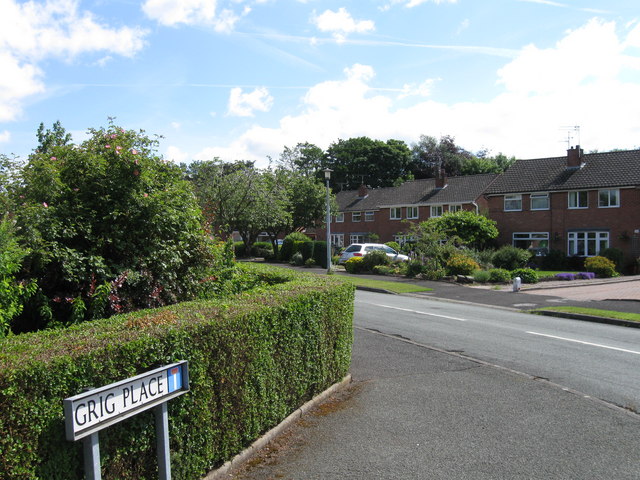
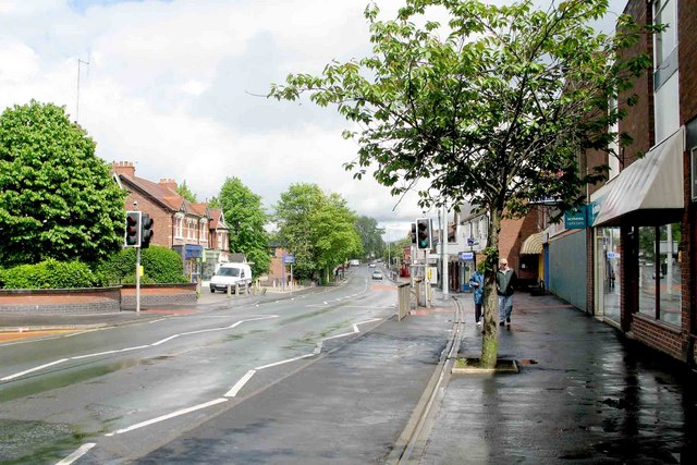
Lawton Heath Images
Images are sourced within 2km of 53.104871/-2.290387 or Grid Reference SJ8056. Thanks to Geograph Open Source API. All images are credited.


Lawton Heath is located at Grid Ref: SJ8056 (Lat: 53.104871, Lng: -2.290387)
Unitary Authority: Cheshire East
Police Authority: Cheshire
What 3 Words
///carbonate.callers.streak. Near Rode Heath, Cheshire
Nearby Locations
Related Wikis

Alsager Town F.C.
Alsager Town Football Club is a football club, based in Alsager, Cheshire, England. The club are currently members of North West Counties League Division...
Lawton railway station
Lawton railway station is a disused railway station in Cheshire, England. The station was situated on the North Staffordshire Railway (NSR) branch line...

Rode Heath
Rode Heath is a small village in the civil parish of Odd Rode, near Alsager and within the unitary authority of Cheshire East and the ceremonial county...
Alsager Road railway station
Alsager Road railway station was a station on the North Staffordshire Railway, which operated in the West Midlands county of Staffordshire, in England...
Alsager
Alsager ( AWL-say-jər) is a town and civil parish in the unitary authority of Cheshire East in Cheshire, England. It is located to the north-west of Stoke...

Alsager Urban District
Alsager is a former Urban District in Cheshire, based in the town of Alsager. It was created in 1894 and abolished in 1974 when it was incorporated into...
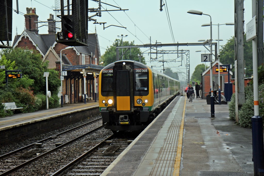
Alsager railway station
Alsager railway station serves the town of Alsager in Cheshire, England. It stands next to a level crossing and is approximately 600 yards from the town...
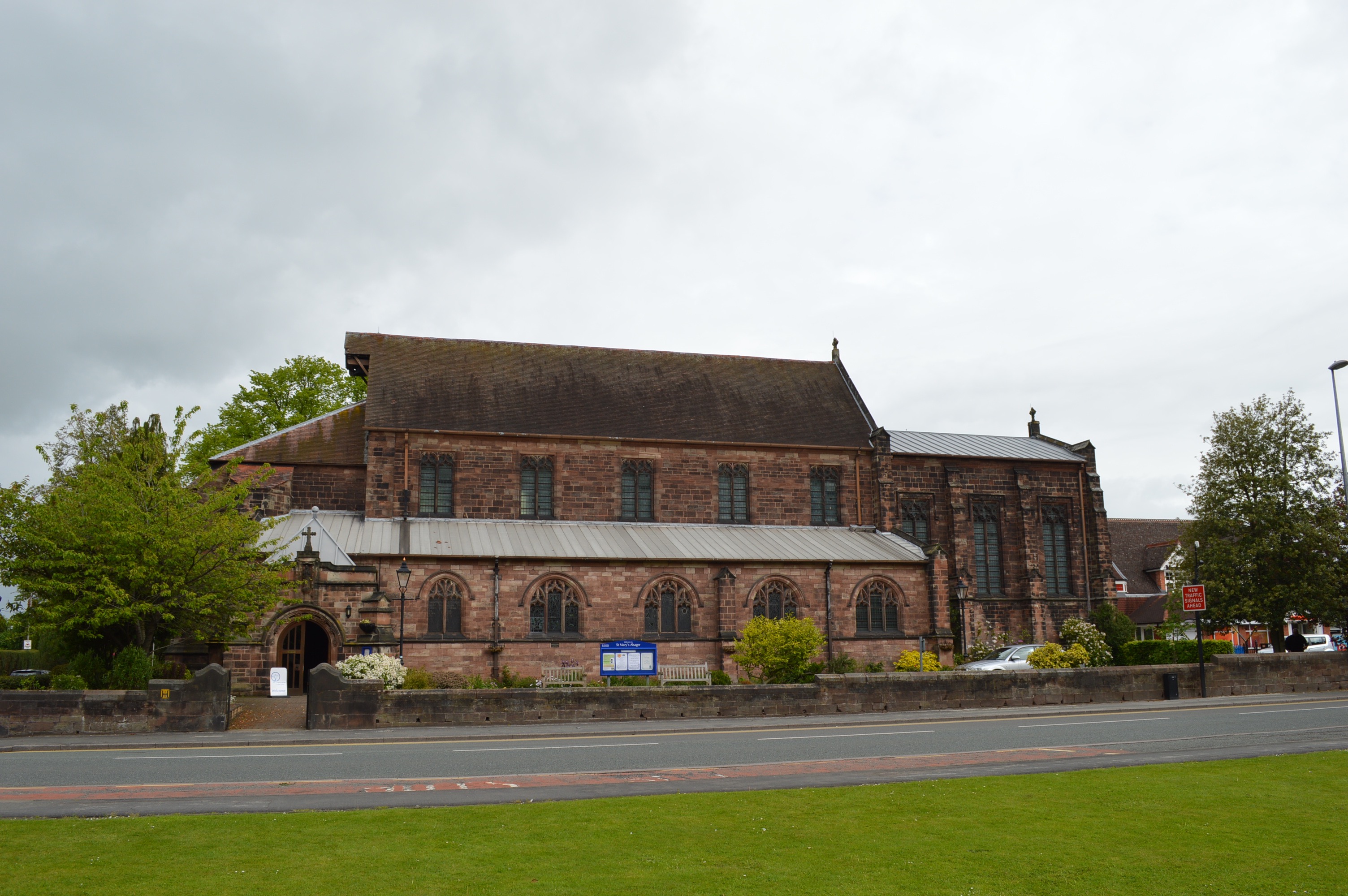
St Mary Magdalene's Church, Alsager
St Mary Magdalene's Church is in Crewe Road, Alsager, Cheshire, England. It is an active Anglican parish church in the deanery of Congleton, the archdeaconry...
Nearby Amenities
Located within 500m of 53.104871,-2.290387Have you been to Lawton Heath?
Leave your review of Lawton Heath below (or comments, questions and feedback).