Lane Head

Settlement in Durham

England

Lane Head

Rumours and Uttas Rumours coffee shop and the HQ of the Upper Teesdale Agricultural Support Services.
Rumours and Uttas Credit: Colin Kinnear

Lane Head is a small village located in County Durham, England. Situated approximately 5 miles north-west of Durham city, Lane Head is nestled amidst picturesque countryside, offering residents and visitors a tranquil setting with easy access to urban amenities.

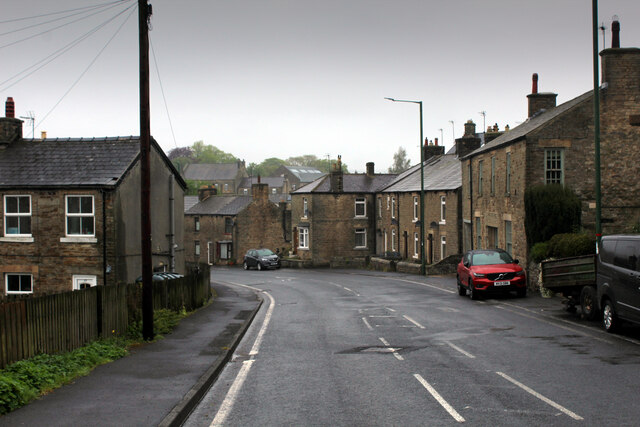
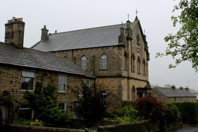
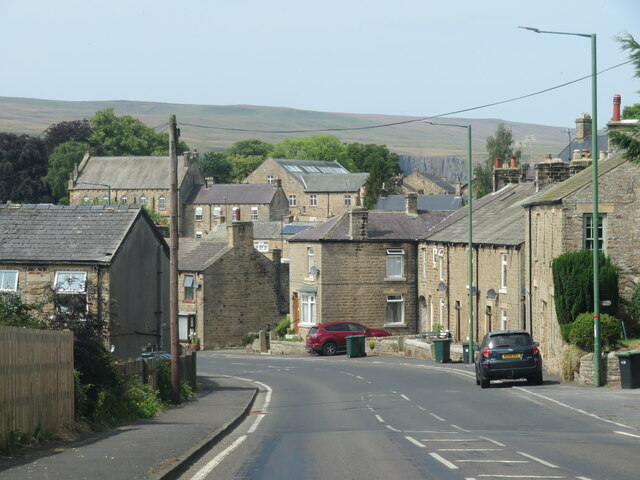
The village is characterized by its charming and traditional architecture, with many historic buildings and cottages dotting the landscape. The local community is close-knit, with a population of around 500 residents. Lane Head is known for its friendly atmosphere, where neighbors are often seen gathering for social events and activities.

Despite its small size, the village offers a range of amenities to cater to the needs of its residents. These include a local convenience store, a post office, and a village hall which serves as the hub for various community events. Additionally, there are several pubs and restaurants in the vicinity that provide an opportunity for residents and visitors to socialize and enjoy a meal.

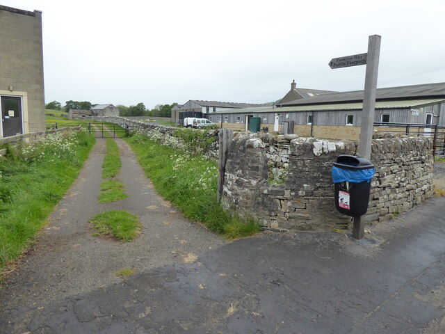
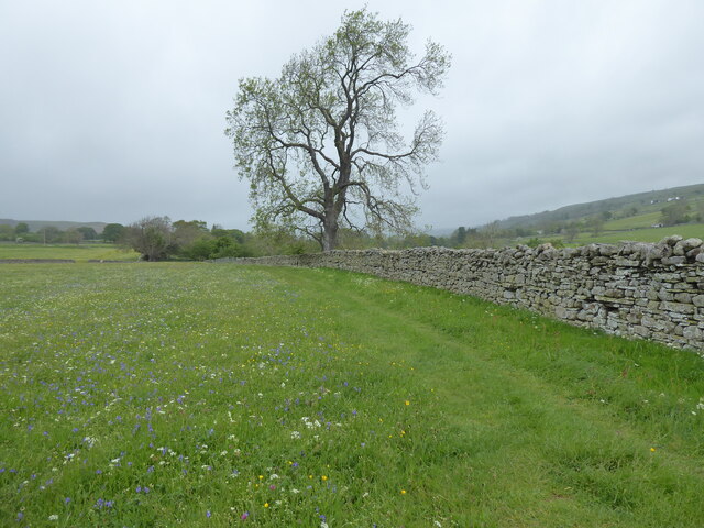
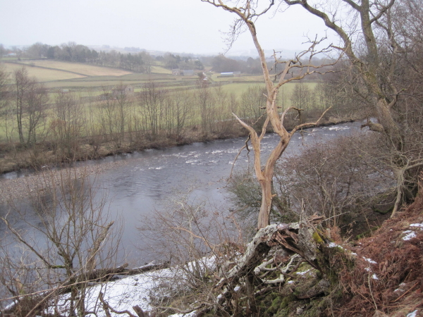
The natural beauty surrounding Lane Head provides ample opportunities for outdoor activities. The village is surrounded by rolling hills and picturesque countryside, ideal for leisurely walks and hikes. The nearby River Wear also offers opportunities for fishing and boating.

Lane Head's proximity to Durham city allows residents to easily access a wider range of amenities, such as shops, schools, and healthcare facilities. The village is well-connected to the city by a reliable bus service, making it convenient for commuters.

In summary, Lane Head offers a peaceful and charming lifestyle in a picturesque setting, with a strong sense of community and easy access to both rural and urban amenities.

If you have any feedback on the listing, please let us know in the comments section below.
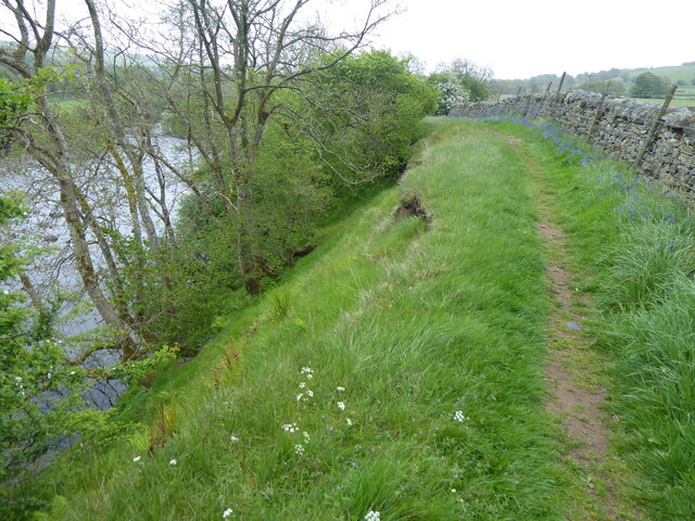
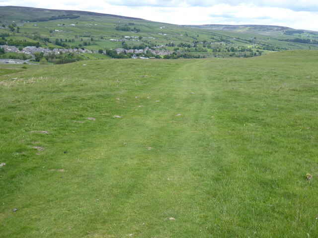
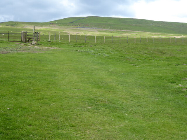
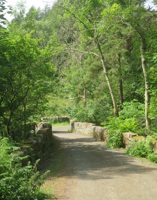
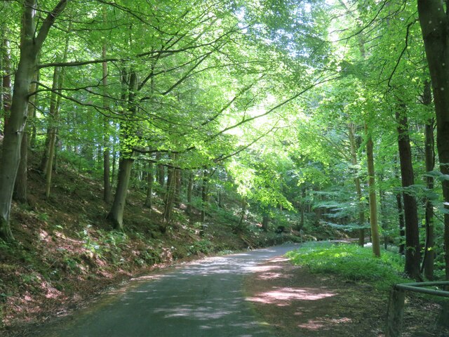
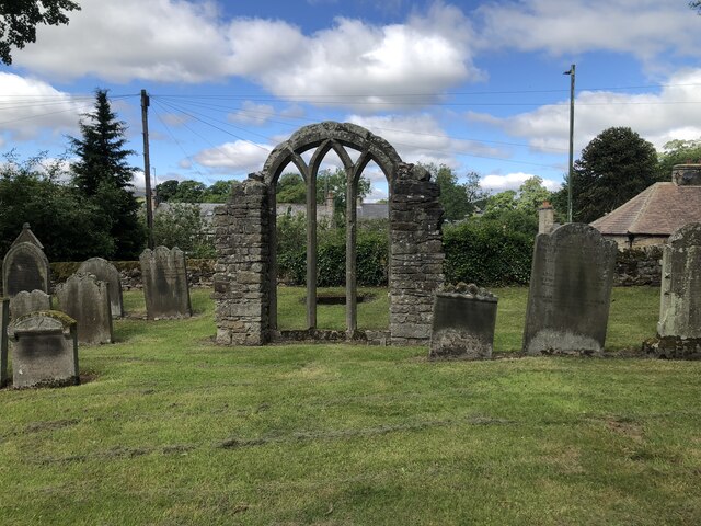
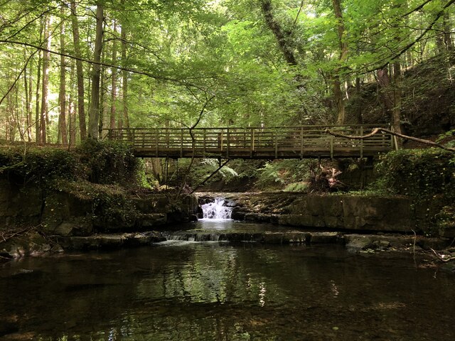
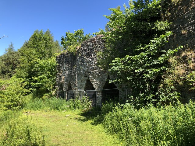
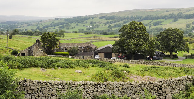
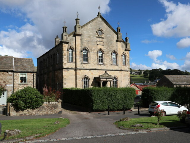
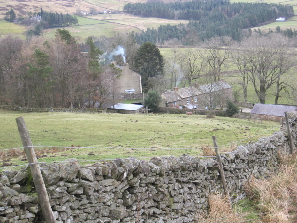
Lane Head Images

Images are sourced within 2km of 54.62892/-2.090272 or Grid Reference NY9425. Thanks to Geograph Open Source API. All images are credited.

Rumours and Uttas Rumours coffee shop and the HQ of the Upper Teesdale Agricultural Support Services.
Rumours and Uttas
Rumours coffee shop and the HQ of the Upper Teesdale Agricultural Support Services.
Entering Middleton-in-Teesdale on the B6282 Entering the village on a wet day
Entering Middleton-in-Teesdale on the B6282
Entering the village on a wet day
Former Methodist Chapel, Middleton-in-Teesdale Former Primitive Methodist Church, now a private dwelling
Former Methodist Chapel, Middleton-in-Teesdale
Former Primitive Methodist Church, now a private dwelling
The Pennine Way near Middleton-in-Teesdale
The Pennine Way near East Crossthwaite
The Pennine Way near Middle Crossthwaite
The Pennine Way near Middleton Quarries
The Pennine Way towards Rams Gill
Heading into Middleton in Teesdale The B6282 dropping into Middleton from the direction of Eggleston.
Heading into Middleton in Teesdale
The B6282 dropping into Middleton from the direction of Eggleston.
Bridge at the road end Bridge over Hudeshope Beck at the point where the tarmac runs out and a footpath begins.
Bridge at the road end
Bridge over Hudeshope Beck at the point where the tarmac runs out and a footpath begins.
Road through the woods Heading south towards Middleton in Teesdale along the minor road above the Hudeshope Beck.
Road through the woods
Heading south towards Middleton in Teesdale along the minor road above the Hudeshope Beck.
Window tracery from former church Grade II listed C13th window tracery from former church of St Mary, set in the graveyard of the modern church.
Window tracery from former church
Grade II listed C13th window tracery from former church of St Mary, set in the graveyard of the modern church.
Footbridge across Hudeshope Beck
Skears Lime Kilns A group of 6 lime kilns of varying age adjacent to the former Skears Quarry.
Skears Lime Kilns
A group of 6 lime kilns of varying age adjacent to the former Skears Quarry.
West Crossthwaite The farm buildings at West Crossthwaite on the south side of the minor road to Holwick.
West Crossthwaite
The farm buildings at West Crossthwaite on the south side of the minor road to Holwick.
Dales Chapel, Middleton-in-Teesdale Former Primitive Methodist Chapel dated 1872.
Dales Chapel, Middleton-in-Teesdale
Former Primitive Methodist Chapel dated 1872.
Arch, Masterman Place, Middleton in Teesdale Archway over narrow road, dated 1823. By Ignatius Bonomi for the London Lead Company. Coursed squared sandstone with ashlar dressings. Classical style. High arch over entrance to new development by the company, providing housing for their most valued workers.
Grade II Listed (List Entry: 1203547) <span class="nowrap"><a title="https://historicengland.org.uk/listing/the-list/list-entry/1203547" rel="nofollow ugc noopener" href="https://historicengland.org.uk/listing/the-list/list-entry/1203547">Link</a><img style="margin-left:2px;" alt="External link" title="External link - shift click to open in new window" src="https://s1.geograph.org.uk/img/external.png" width="10" height="10"/></span>
Arch, Masterman Place, Middleton in Teesdale
Archway over narrow road, dated 1823. By Ignatius Bonomi for the London Lead Company. Coursed squared sandstone with ashlar dressings. Classical style. High arch over entrance to new development by the company, providing housing for their most valued workers. Grade II Listed (List Entry: 1203547) LinkExternal link
Show me another place!

Lane Head is located at Grid Ref: NY9425 (Lat: 54.62892, Lng: -2.090272)

Unitary Authority: County Durham

Police Authority: Durham

What 3 Words

///salsa.bombshell.bribing. Near Newbiggin, Co. Durham

Related Wikis

High Dyke, County Durham

High Dyke is a village in County Durham, in England. It is situated a short distance to the north of Middleton-in-Teesdale. == References ==

Aukside

Aukside is a small village in County Durham, in England. It is situated on the north side of Teesdale, a short distance from Middleton-in-Teesdale. It...

Middle Side

Middle Side is a village in County Durham, in England. It is situated on the north side of Teesdale between Middleton-in-Teesdale and Newbiggin. ��2�...

Dent Bank

Dent Bank is a small village in County Durham, in England. It is situated on the north side of Teesdale between Middleton-in-Teesdale and Newbiggin....

Middleton-in-Teesdale

Middleton-in-Teesdale is a market town and civil parish in County Durham, England. It is in Teesdale, on the River Tees's north banks, and surrounded by...

Middle Crossthwaite

Middle Crossthwaite is a Site of Special Scientific Interest in the Teesdale district of County Durham, England. It is situated on the south bank of the...

Middleton-in-Teesdale railway station

Middleton-in-Teesdale railway station was the terminus of the Tees Valley Railway from Barnard Castle. It served the town of Middleton-in-Teesdale. The...

Middle Side and Stonygill Meadows

Middle Side and Stonygill Meadows is a Site of Special Scientific Interest in the Teesdale district of County Durham, England. It consists of two separate...

Nearby Amenities

Located within 500m of 54.62892,-2.090272
Bus Stop
Town Head
Bench: yes
Bin: no
Lit: no
Naptan AtcoCode: 13007004A
Naptan Bearing: N
Naptan CommonName: Town Head
Naptan Indicator: north bound
Naptan Landmark: Landmark not known
Naptan NaptanCode: durdwapd
Naptan Notes: North West of 28 Town Head- Middleton-in-Teesdale
Naptan Street: Street not known
Naptan Verified: no
Shelter: yes
Source: naptan_import
Tactile Paving: no
Lat/Long: 54.6286922/-2.0829642
Bus Stop
Town Head
Bench: no
Bin: no
Lit: no
Naptan AtcoCode: 13007004E
Naptan Bearing: S
Naptan CommonName: Town Head
Naptan Indicator: south bound
Naptan Landmark: Landmark not known
Naptan NaptanCode: durdwapg
Naptan Notes: Outside 28 Town Head- Middleton-in-Teesdale
Naptan Street: Street not known
Naptan Verified: no
Shelter: no
Source: naptan_import
Tactile Paving: no
Lat/Long: 54.6286114/-2.0828401
Bus Stop
Townhead
Naptan AtcoCode: 13007859C
Naptan Bearing: E
Naptan CommonName: Townhead
Naptan Indicator: east bound
Naptan Landmark: Landmark not known
Naptan NaptanCode: durgajwa
Naptan Notes: Opposite The Grove Cottage- Hude- Middleton-In-Teesdale
Naptan Street: Street not known
Naptan Verified: no
Source: naptan_import
Lat/Long: 54.6272776/-2.0881658
Bus Stop
Townhead
Naptan AtcoCode: 13007859G
Naptan Bearing: W
Naptan CommonName: Townhead
Naptan Indicator: west bound
Naptan Landmark: Landmark not known
Naptan NaptanCode: durgajwd
Naptan Notes: The Grove- Hude- Middleton-In-Teesdale
Naptan Street: Street not known
Naptan Verified: no
Source: naptan_import
Lat/Long: 54.6271697/-2.0881345
Information: guidepost
Tourism: information
Lat/Long: 54.6262861/-2.0952285
Fuel
Alston Road Garage
Lat/Long: 54.625735/-2.0879058
Barrier: entrance
Lat/Long: 54.629478/-2.0894057
Barrier: entrance
Lat/Long: 54.6317476/-2.0870901
Clock
Image: https://www.geograph.org.uk/photo/1708469
Lat/Long: 54.6271677/-2.0855925
Barrier: cattle_grid
Lat/Long: 54.6249184/-2.0928164
Waste Basket
Lat/Long: 54.6313708/-2.083926
Information: guidepost
Tourism: information
Lat/Long: 54.6287949/-2.0852374
Bench
Backrest: yes
Direction: 100
Material: wood
Seats: 3
Lat/Long: 54.6274497/-2.0849913
Information: guidepost
Tourism: information
Lat/Long: 54.6256541/-2.0864007
Information: guidepost
Tourism: information
Lat/Long: 54.6268109/-2.0857084
The data included in this document is from www.openstreetmap.org. The data is made available under ODbL.

Have you been to Lane Head?

Leave your review of Lane Head below (or comments, questions and feedback).