Knownoble
Settlement in Lanarkshire
Scotland
Knownoble
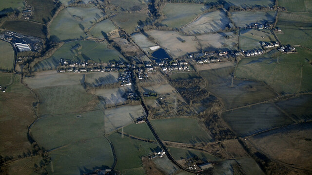
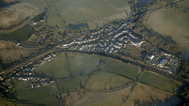
Knownoble is a small village located in the county of Lanarkshire, Scotland. Situated in the heart of the picturesque Clyde Valley, Knownoble offers a charming rural setting surrounded by rolling hills and lush greenery. The village is situated approximately 5 miles southwest of the town of Lanark and is easily accessible by road.
Knownoble has a rich history dating back centuries, with evidence of human settlement in the area since prehistoric times. The village is home to several notable historic landmarks, including the ruins of Knownoble Castle, a 16th-century tower house that once belonged to the noble Hamilton family. The castle's impressive structure and beautiful surroundings make it a popular destination for history enthusiasts and visitors alike.
Despite its small size, Knownoble boasts a strong sense of community and offers a range of amenities to its residents. The village has a primary school, a local pub, and a few small shops catering to everyday needs. Additionally, Knownoble benefits from its proximity to Lanark, where a wider range of services, shops, and leisure facilities can be found.
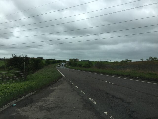
The surrounding area of Knownoble is renowned for its natural beauty and provides ample opportunities for outdoor activities. The Clyde Valley is known for its stunning landscapes, including the Falls of Clyde, a series of waterfalls nestled within a picturesque woodland. The area is a haven for nature lovers, with numerous walking trails and wildlife watching opportunities.
Overall, Knownoble offers a tranquil and scenic setting, steeped in history and surrounded by natural beauty, making it an appealing place to live for those seeking a peaceful rural lifestyle.
If you have any feedback on the listing, please let us know in the comments section below.
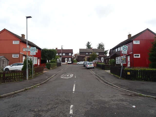
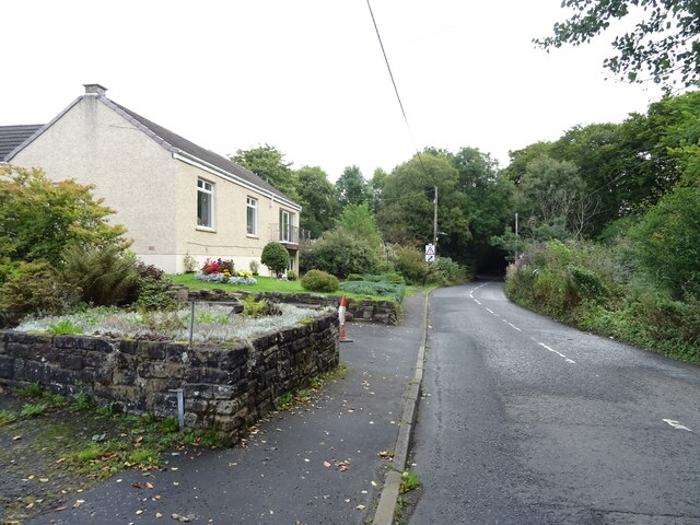
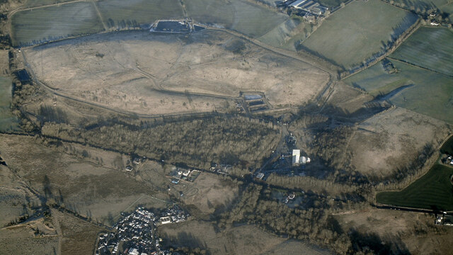
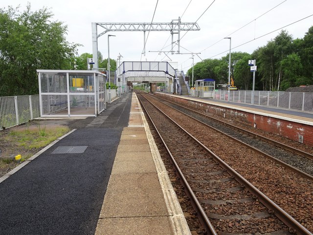
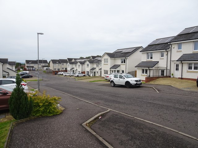
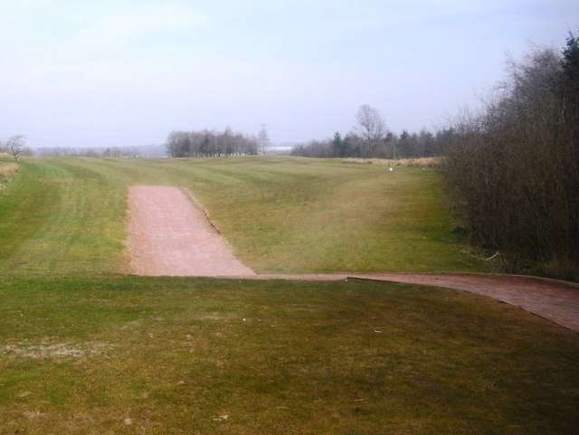
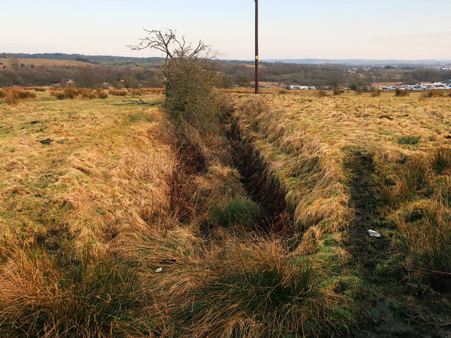
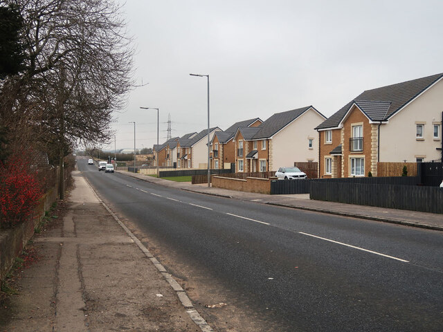
Knownoble Images
Images are sourced within 2km of 55.81021/-3.9170755 or Grid Reference NS7959. Thanks to Geograph Open Source API. All images are credited.
Knownoble is located at Grid Ref: NS7959 (Lat: 55.81021, Lng: -3.9170755)
Unitary Authority: North Lanarkshire
Police Authority: Lanarkshire
What 3 Words
///double.excellent.alike. Near Cleland, North Lanarkshire
Nearby Locations
Related Wikis

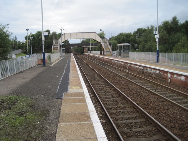
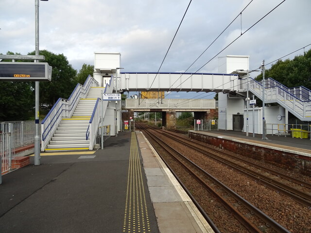
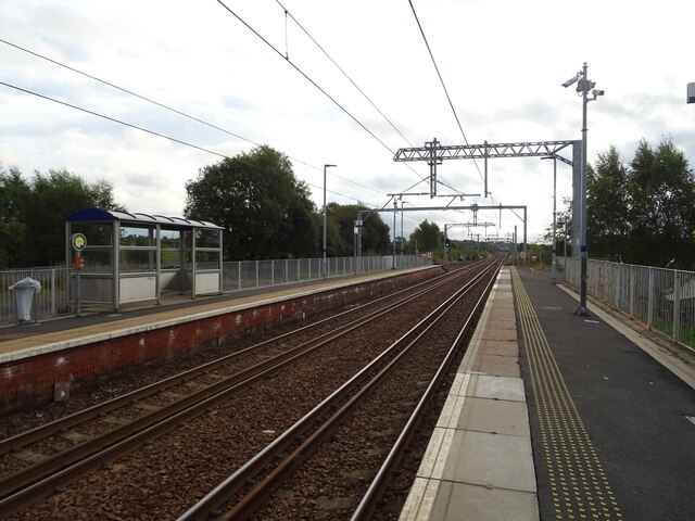
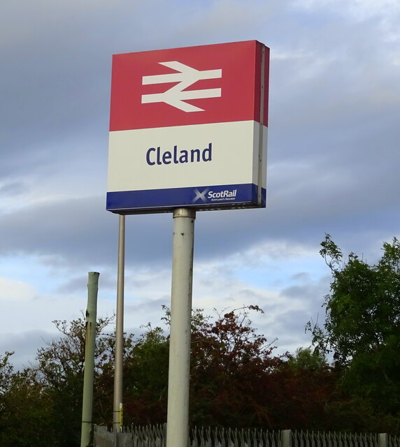
Cleland railway station
Cleland railway station is a railway station serving the village of Cleland, near Motherwell in North Lanarkshire, Scotland. Built on the Cleland and Midcalder...

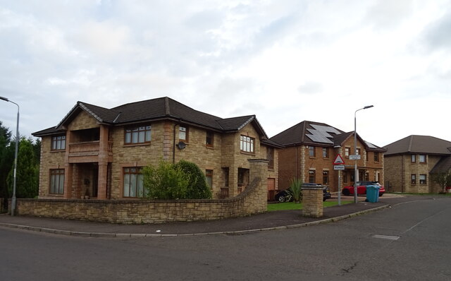
Cleland, North Lanarkshire
Cleland is a village near Motherwell and Wishaw in North Lanarkshire, Scotland, . As of 2018, it has a population of about 3,000. The village has a strong...

Newarthill
Newarthill is a village in North Lanarkshire, Scotland, situated roughly three miles north-east of the town of Motherwell. It has a population of around...
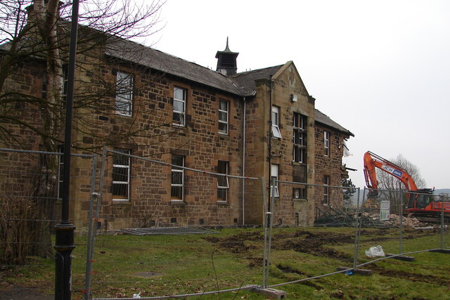
Cleland Hospital
Cleland Hospital is a health facility in Auchinlea Drive, Cleland, North Lanarkshire, Scotland. It is managed by NHS Lanarkshire. == History == The facility...
Nearby Amenities
Located within 500m of 55.81021,-3.9170755Have you been to Knownoble?
Leave your review of Knownoble below (or comments, questions and feedback).