King's Park
Settlement in Lanarkshire
Scotland
King's Park

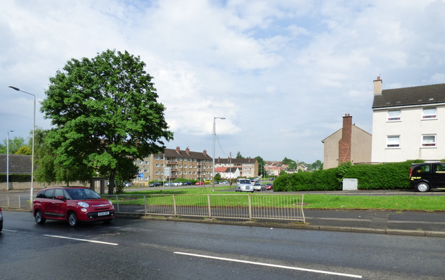
King's Park is a residential area located in the county of Lanarkshire, Scotland. Situated approximately three miles southeast of the city center of Glasgow, King's Park offers a peaceful suburban setting with easy access to urban amenities.
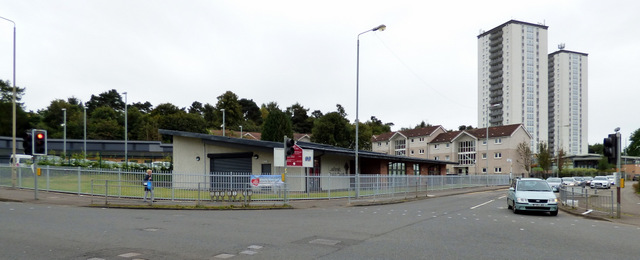
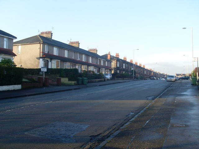
The area is characterized by a mix of residential properties, including detached and semi-detached houses, as well as some apartment buildings. The houses in King's Park are known for their traditional architecture and well-maintained gardens, adding to the overall charm of the neighborhood.
One of the highlights of King's Park is the eponymous park, which provides residents with ample outdoor space for recreational activities. This well-maintained green area features lush grassy fields, playgrounds, and walking paths, making it an ideal spot for families and individuals to relax and enjoy nature.
In terms of amenities, King's Park offers a range of local shops and services, including convenience stores, cafes, and medical facilities, ensuring that residents have easy access to everyday necessities. Additionally, the nearby Rutherglen town center provides a wider selection of shops, supermarkets, and restaurants.
Transportation links are excellent in King's Park, with regular bus services connecting the area to Glasgow city center and surrounding areas. The nearby Rutherglen train station also provides convenient access to Glasgow and other destinations, making it an attractive place to live for commuters.
Overall, King's Park offers a desirable residential location with a peaceful atmosphere, well-maintained properties, and easy access to both urban amenities and green spaces.
If you have any feedback on the listing, please let us know in the comments section below.
King's Park Images
Images are sourced within 2km of 55.819516/-4.2464356 or Grid Reference NS5960. Thanks to Geograph Open Source API. All images are credited.


King's Park is located at Grid Ref: NS5960 (Lat: 55.819516, Lng: -4.2464356)
Unitary Authority: City of Glasgow
Police Authority: Greater Glasgow
What 3 Words
///liner.jabs.until. Near Rutherglen, South Lanarkshire
Nearby Locations
Related Wikis
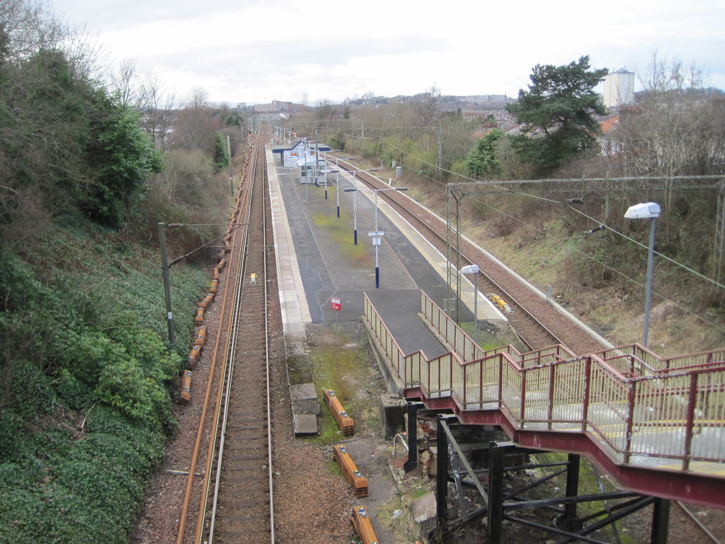
King's Park railway station
King's Park railway station is a railway station serving the King's Park and Simshill areas of Glasgow, Scotland. It is located on the Newton branch of...
King's Park, Glasgow
King's Park (Scottish Gaelic: Pàirc an Rìgh, Scots: Keeng's Pairk) is a district in the city of Glasgow, Scotland. It is situated south of the River Clyde...

Cathcart Old Church
Cathcart Old Church is a Parish church of the Church of Scotland, located between the Cathcart and King's Park areas of Glasgow. == Previous Churches... ==

King's Park Secondary School
King's Park Secondary School, on Fetlar Drive, in the King's Park area (or specifically in the Simshill area) of south Glasgow, is a Scottish non-denominational...
Nearby Amenities
Located within 500m of 55.819516,-4.2464356Have you been to King's Park?
Leave your review of King's Park below (or comments, questions and feedback).