Keillour
Settlement in Perthshire
Scotland
Keillour

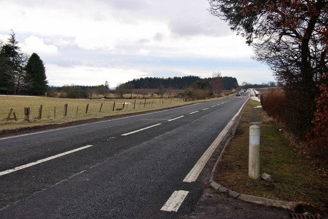
Keillour is a small rural village located in the county of Perthshire, Scotland. Situated approximately 4 miles northwest of the town of Bridge of Earn, Keillour is set amidst picturesque countryside, offering residents and visitors a serene and tranquil atmosphere.
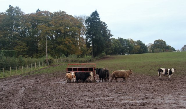
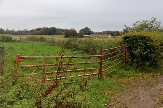
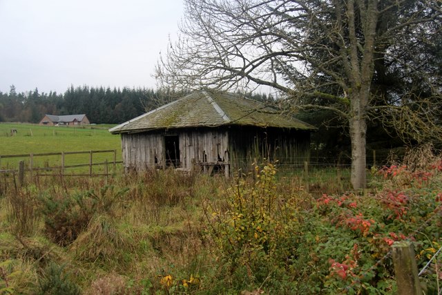
The village is known for its historic charm, with many traditional stone-built houses and cottages dotting the landscape. The surrounding area is predominantly agricultural, with lush green fields and rolling hills providing a scenic backdrop. Keillour is also home to a number of working farms, adding to its rural character.
Although small in size, Keillour has a strong sense of community and a close-knit population. Local amenities include a village hall, which acts as a hub for social activities and events, fostering a sense of togetherness among its residents.
Nature enthusiasts will find plenty to explore in and around Keillour. The nearby River Earn offers opportunities for fishing, while the surrounding countryside is crisscrossed by walking and cycling trails, allowing visitors to appreciate the stunning scenery and wildlife that the area has to offer.
For those seeking a taste of history, the village is in close proximity to several notable landmarks. Just a short drive away is the historic city of Perth, where visitors can explore attractions such as Scone Palace and Perth Museum and Art Gallery.
Overall, Keillour is a charming and idyllic village that offers a peaceful retreat in the heart of Perthshire's beautiful countryside.
If you have any feedback on the listing, please let us know in the comments section below.
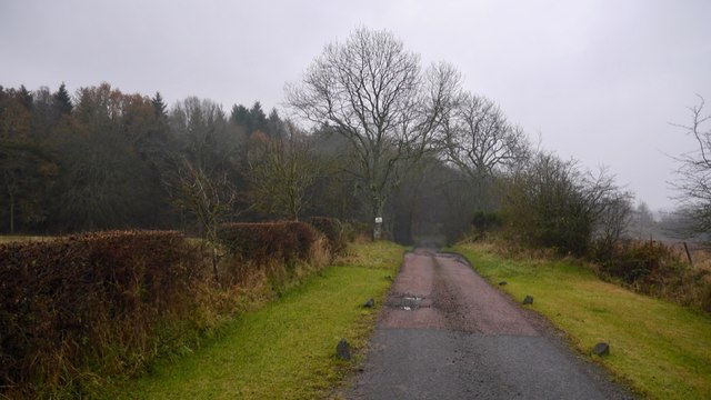
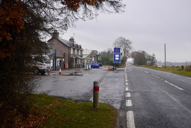
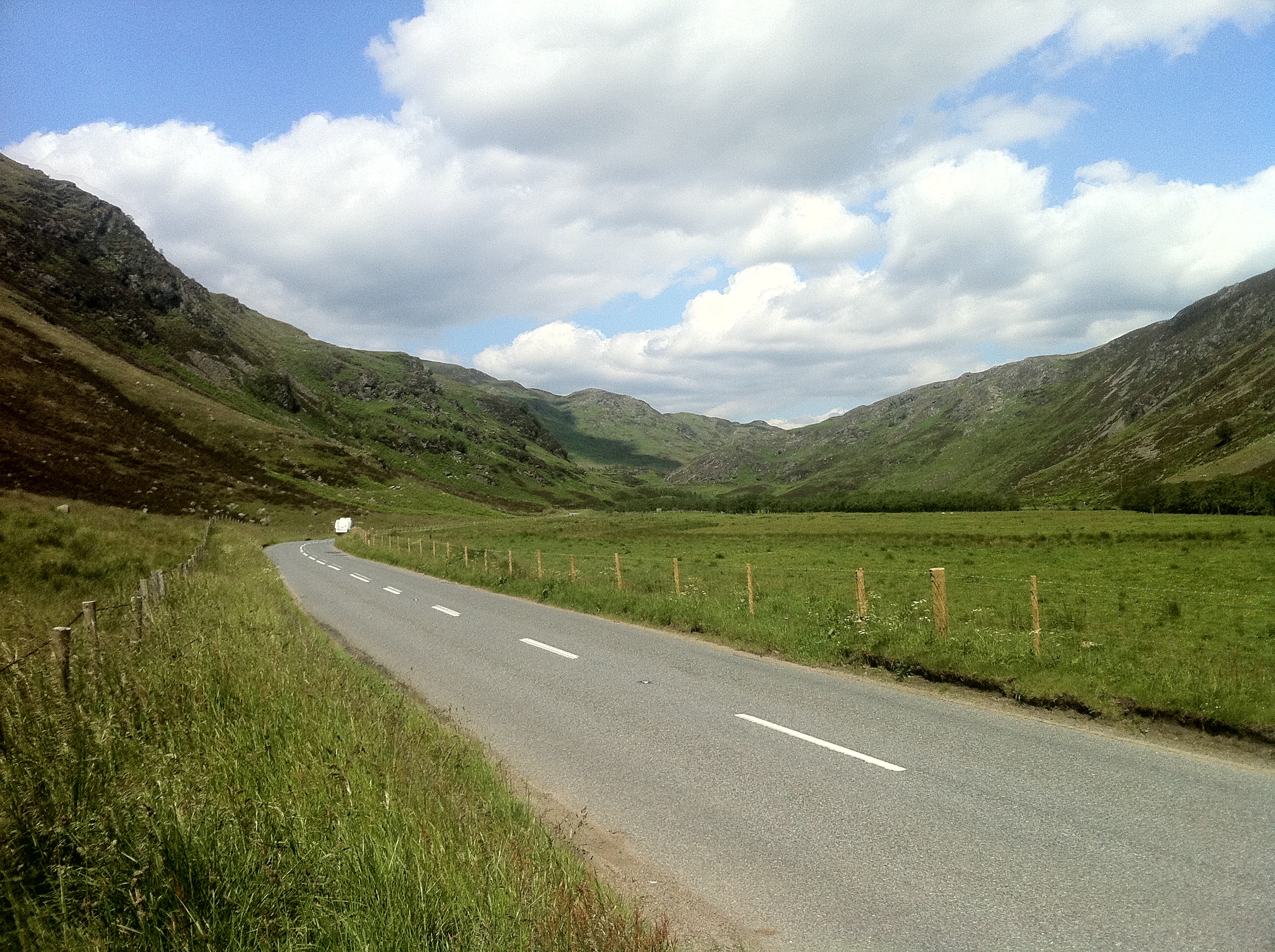
Keillour Images
Images are sourced within 2km of 56.412319/-3.6576908 or Grid Reference NN9725. Thanks to Geograph Open Source API. All images are credited.


Keillour is located at Grid Ref: NN9725 (Lat: 56.412319, Lng: -3.6576908)
Unitary Authority: Perth and Kinross
Police Authority: Tayside
What 3 Words
///performs.gourmet.strumming. Near Methven, Perth & Kinross
Nearby Locations
Related Wikis

Strathearn distillery
Strathearn is a single malt Scotch whisky distillery near Methven in Scotland. == History == The distillery commenced production in 2013 under the ownership...
Harrietfield
Harrietfield is a village near Glenalmond in Perth and Kinross. It is about 9 miles (14 km) north-west of Perth. It has been suggested that the village...

Balgowan railway station
Balgowan railway station served the village of Balgowan, in the Scottish county of Perth and Kinross. == History == Opened on 21 May 1866 by the Crieff...
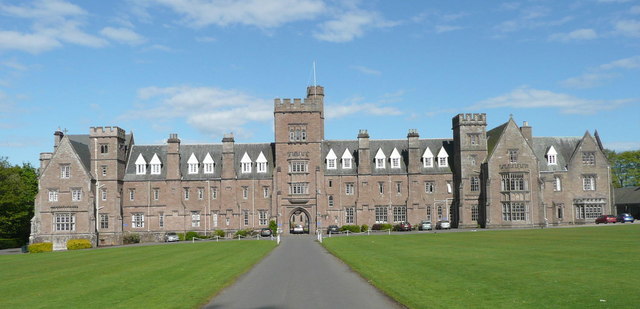
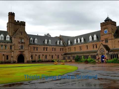
Glenalmond College
Glenalmond College is a co-educational independent boarding school in Perth and Kinross, Scotland, for children aged between 12 and 18 years. It is situated...
Balgowan, Perth and Kinross
Balgowan is a village in Perth and Kinross, Scotland, approximately 5 miles (8 kilometres) west of Perth. The village is located near the junctions of...
Glenalmond
Glenalmond or Glen Almond (Scottish Gaelic: Gleann Amain) is a glen which stretches for several miles to the west of the city of Perth in Perth and Kinross...

Inchaffray Abbey
Inchaffray Abbey was situated by the village of Madderty, midway between Perth and Crieff in Strathearn, Scotland. The only traces now visible are an earth...

Madderty railway station
Madderty railway station served the locality of Madderty in Perthshire, Scotland. The village of St. Davids is around one mile to the south. == History... ==
Related Videos
Bagpipes play Highland Cathedral for Bridal Wedding Processional with Church Organ. #weddingpiper
Bagpipes and Church Organ perform Highland Cathedral as Bridal party enter. www.thistlepipingcentralscotland.com . Premier ...
Nearby Amenities
Located within 500m of 56.412319,-3.6576908Have you been to Keillour?
Leave your review of Keillour below (or comments, questions and feedback).