Jerusalem

Settlement in Lincolnshire North Kesteven

England

Jerusalem

Path in the garden, Doddington Hall
Path in the garden, Doddington Hall Credit: Humphrey Bolton

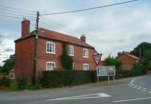
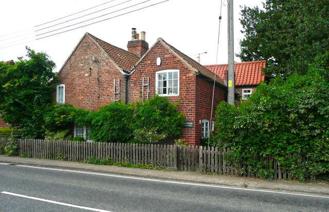
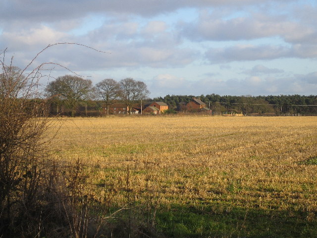
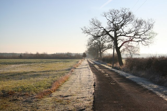
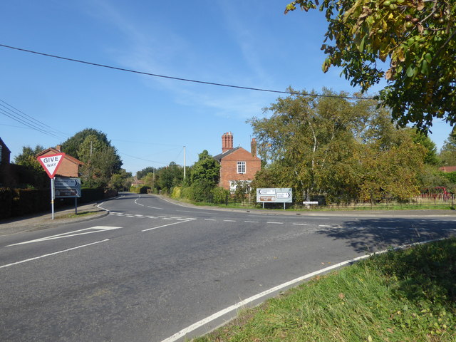
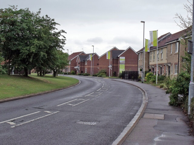
Jerusalem is a small village located in the county of Lincolnshire, England. Situated approximately 8 miles north of the town of Lincoln, it is nestled in the picturesque countryside of the region. The village is known for its historical significance and charm.

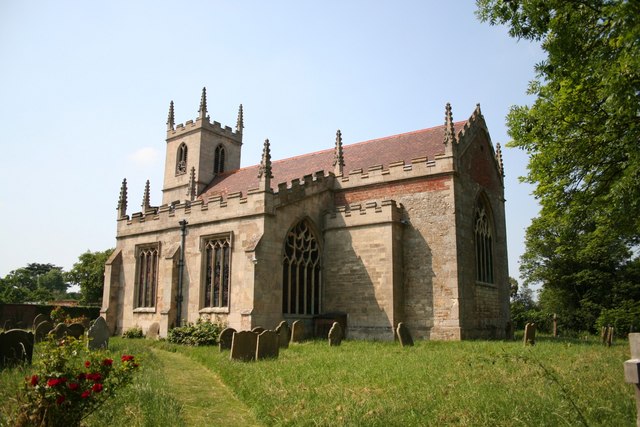
One of the most prominent landmarks in Jerusalem is the Jerusalem Wesleyan Chapel. Built in 1840, this Grade II listed building stands as a testament to the village's religious heritage. The chapel, with its distinctive architecture and beautiful stained glass windows, attracts visitors from far and wide.

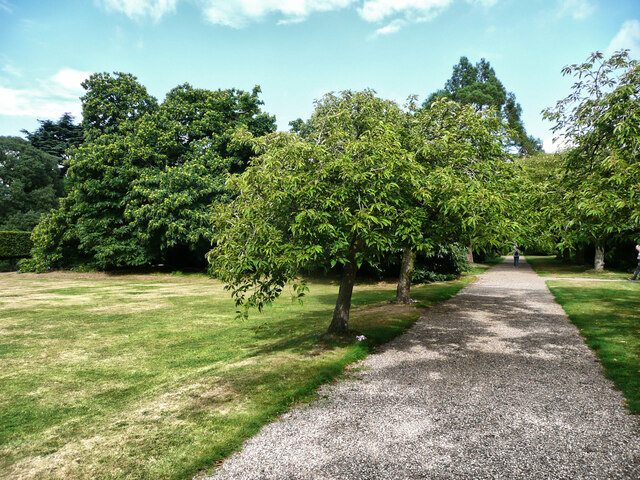
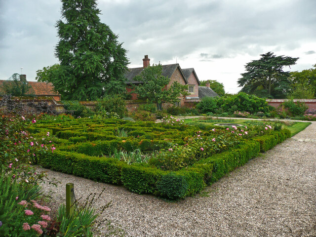
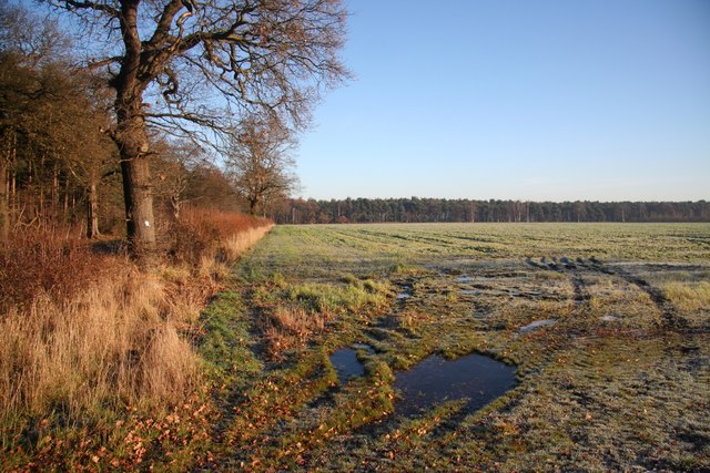
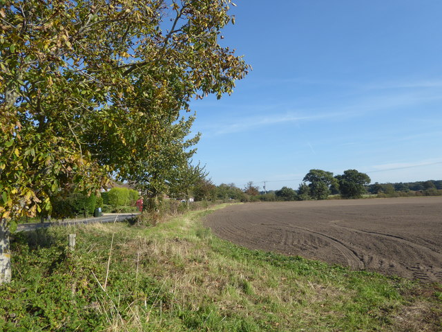
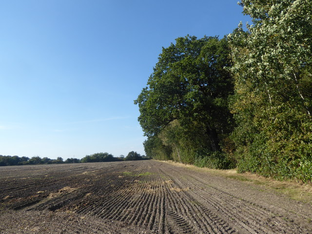
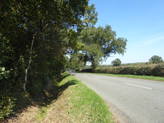
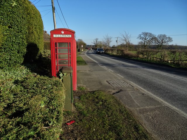
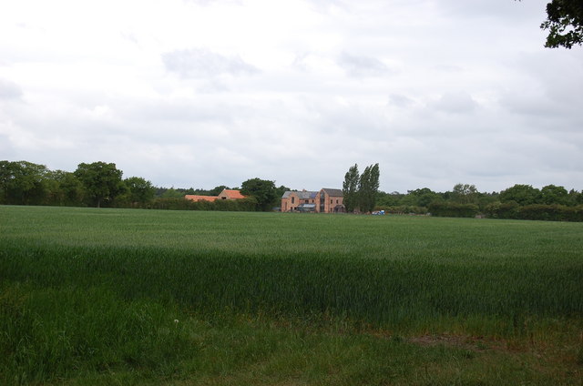
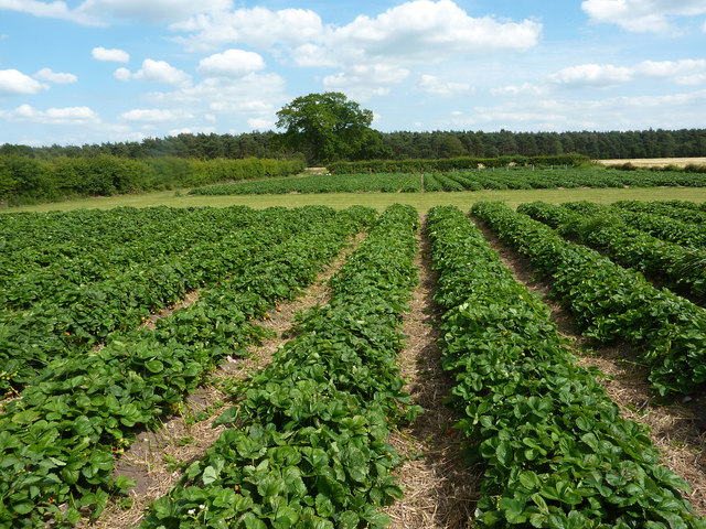
In addition to its historical landmarks, Jerusalem offers a peaceful and tranquil environment. The village is surrounded by rolling hills, green fields, and breathtaking views, making it a popular destination for nature lovers. The idyllic countryside provides ample opportunities for outdoor activities such as hiking, cycling, and birdwatching.

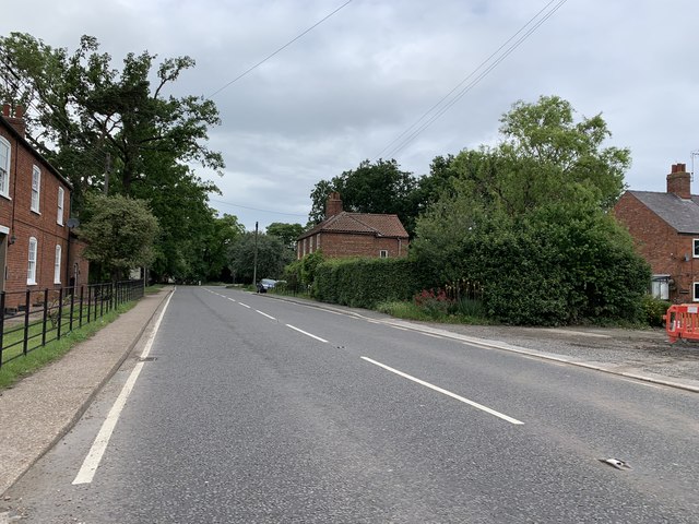
Despite its small size, Jerusalem boasts a vibrant community spirit. The locals are known for their warm hospitality and strong sense of community. The village is home to a range of amenities, including a village hall, a primary school, and a local pub, where residents often gather to socialize and enjoy traditional British fare.

Jerusalem's location also provides easy access to nearby towns and cities. The bustling city of Lincoln, with its rich history and cultural attractions, is just a short drive away. This allows residents of Jerusalem to enjoy the best of both worlds – the tranquility of village life and the amenities of a larger urban area.

If you have any feedback on the listing, please let us know in the comments section below.

Jerusalem Images

Images are sourced within 2km of 53.228713/-0.62790559 or Grid Reference SK9171. Thanks to Geograph Open Source API. All images are credited.

Path in the garden, Doddington Hall
Part of the formal garden, Doddington Hall
Holly Farmhouse, Doddington An early 19C farmhouse with chequer-brick walls, listed Grade II.
Holly Farmhouse, Doddington
An early 19C farmhouse with chequer-brick walls, listed Grade II.
Foresters Cottage, Doddington An 18C house, listed Grade II.
Foresters Cottage, Doddington
An 18C house, listed Grade II.
Blackmoor Farm Blackmoor Farm near Skellingthorpe, looking south east from the corner of Gilberts plot.
Blackmoor Farm
Blackmoor Farm near Skellingthorpe, looking south east from the corner of Gilberts plot.
New housing on Epsom Drive More new homes being built on Epsom Drive, Birchwood
New housing on Epsom Drive
More new homes being built on Epsom Drive, Birchwood
Hospital Plantation Autumn colours in this wood adjacent to Birchwood Nature Reserve
Hospital Plantation
Autumn colours in this wood adjacent to Birchwood Nature Reserve
Lane to Blackmoor Farm Lane from Jerusalem Road to Blackmoor Farm on a frosty December morning
Lane to Blackmoor Farm
Lane from Jerusalem Road to Blackmoor Farm on a frosty December morning
Blackmoor farmland Farmland at Blackmoor Farm near Jerusalem
Blackmoor farmland
Farmland at Blackmoor Farm near Jerusalem
At the approach to Doddington Lincoln Road is to the left of the hedge which is at the southern edge of the village of Doddington.
At the approach to Doddington
Lincoln Road is to the left of the hedge which is at the southern edge of the village of Doddington.
The approach to Doddington Lincoln Road is to the right here at the southern edge of the village of Doddington. This is Main Street which continues ahead.
The approach to Doddington
Lincoln Road is to the right here at the southern edge of the village of Doddington. This is Main Street which continues ahead.
View from Black Lane On the right is the woodland known as Gilbert's Plot.
View from Black Lane
On the right is the woodland known as Gilbert's Plot.
Looking along Black Lane On the left is the woodland known as Gilbert's Plot.
Looking along Black Lane
On the left is the woodland known as Gilbert's Plot.
Doddington and another redundant telephone kiosk
Main Street, Doddington Looking north.
Main Street, Doddington
Looking north.
Moor Farm, near Doddington
Woodfield Avenue, Birchwood New Houses
Woodfield Avenue, Birchwood
New Houses
Strawberry fields Rows of strawberries at Blackmoor Farm
Strawberry fields
Rows of strawberries at Blackmoor Farm
Show me another place!

Jerusalem is located at Grid Ref: SK9171 (Lat: 53.228713, Lng: -0.62790559)

Division: Parts of Kesteven

Administrative County: Lincolnshire

District: North Kesteven

Police Authority: Lincolnshire

What 3 Words

///thinking.fabric.linked. Near Skellingthorpe, Lincolnshire

Nearby Locations

Brick Kiln Holt Jerusalem

Related Wikis

Jerusalem, Lincolnshire

Jerusalem is a small ribbon development in the North Kesteven district of Lincolnshire, England. It conjoined to the south of Skellingthorpe, and is part...

Skellingthorpe railway station (Lancashire, Derbyshire and East Coast Railway)

Skellingthorpe (Lancashire, Derbyshire and East Coast Railway) railway station is one of two former railway stations in Skellingthorpe, Lincolnshire, England...

Skellingthorpe

Skellingthorpe is a village and civil parish in the North Kesteven district of Lincolnshire, England. The population of the village at the 2011 census...

Doddington, Lincolnshire

Doddington is a village in the civil parish of Doddington and Whisby in the North Kesteven district of Lincolnshire, England. The population of the civil...

Doddington Hall, Lincolnshire

Doddington Hall is, from the outside, an Elizabethan prodigy house or mansion complete with walled courtyards and a gabled gatehouse. Inside it was largely...

Birchwood, Lincoln

Birchwood is a district and suburb of Lincoln in Lincolnshire, England. The district population in the 2021 Census was 8,932. It is located midway between...

RAF Skellingthorpe

Royal Air Force Skellingthorpe or more simply RAF Skellingthorpe is a former Royal Air Force station which was operational during the Second World War...

Skellingthorpe railway station (Great Northern Railway)

Skellingthorpe (Great Northern Railway) railway station was one of two stations serving the village of Skellingthorpe in Lincolnshire, England. It was...

Nearby Amenities

Located within 500m of 53.228713,-0.62790559
Queensway
Naptan AtcoCode: 270000014199
Naptan Bearing: SW
Naptan BusStopType: CUS
Naptan CommonName: Queensway
Naptan Indicator: adj
Naptan Landmark: Queensway
Naptan NaptanCode: linjpdmt
Naptan Street: Jerusalem Road
Naptan Verified: no
Source: naptan_import
Lat/Long: 53.2307534/-0.6245754
Queensway
Naptan AtcoCode: 270000014200
Naptan Bearing: NE
Naptan BusStopType: CUS
Naptan CommonName: Queensway
Naptan Indicator: opp
Naptan Landmark: Queensway
Naptan NaptanCode: linjpdmw
Naptan Street: Jerusalem Road
Naptan Verified: no
Source: naptan_import
Lat/Long: 53.2308357/-0.6246926
Bus Stop
Jerusalem Road
Naptan AtcoCode: 270000014202
Naptan Bearing: SE
Naptan CommonName: Jerusalem Road
Naptan Indicator: opp
Naptan Landmark: Number 14
Naptan NaptanCode: linjpdpa
Naptan Street: Jerusalem Road
Naptan Verified: no
Source: naptan_import
Lat/Long: 53.2277393/-0.6266944
Bus Stop
Jerusalem Road
Naptan AtcoCode: 270000014203
Naptan Bearing: NW
Naptan CommonName: Jerusalem Road
Naptan Indicator: o/s
Naptan Landmark: Number 14
Naptan NaptanCode: linjpdpd
Naptan Street: Jerusalem Road
Naptan Verified: no
Source: naptan_import
Lat/Long: 53.2276778/-0.6268162
Bus Stop
Swallow Avenue
Naptan AtcoCode: 2700LSSA2830
Naptan Bearing: NW
Naptan CommonName: Swallow Avenue
Naptan Indicator: adj
Naptan Landmark: The Holt Primary School
Naptan NaptanCode: linatwap
Naptan Street: Swallow Avenue
Naptan Verified: no
Source: naptan_import
Lat/Long: 53.2314901/-0.6225467
Jerusalem Farm
Place: farm
Source: Bing
Lat/Long: 53.2278875/-0.6314011
Jerusalem
Place: hamlet
Source: Bing
Wikidata: Q6185057
Wikipedia: en:Jerusalem, Lincolnshire
Lat/Long: 53.2285359/-0.6270955
Willow Glade
Description: Woodland play area
Leisure: playground
Lat/Long: 53.2321022/-0.6251042
Note: My recollection is that the cycleway does go past the north end of the bridge and that access down it is blocked off.
Lat/Long: 53.2321804/-0.6268146
Generator Method: photovoltaic
Generator Output Electricity: yes
Generator Source: solar
Generator Type: solar_photovoltaic_panel
Location: roof
Power: generator
Lat/Long: 53.2300954/-0.6234685
Generator Method: photovoltaic
Generator Output Electricity: yes
Generator Source: solar
Generator Type: solar_photovoltaic_panel
Location: roof
Power: generator
Lat/Long: 53.2313157/-0.6232566
Generator Method: photovoltaic
Generator Output Electricity: yes
Generator Source: solar
Generator Type: solar_photovoltaic_panel
Location: roof
Power: generator
Lat/Long: 53.2312836/-0.623321
Generator Method: photovoltaic
Generator Output Electricity: yes
Generator Source: solar
Generator Type: solar_photovoltaic_panel
Location: roof
Power: generator
Lat/Long: 53.231131/-0.6235866
Generator Method: photovoltaic
Generator Output Electricity: yes
Generator Source: solar
Generator Type: solar_photovoltaic_panel
Location: roof
Power: generator
Lat/Long: 53.2310829/-0.6236751
Generator Method: photovoltaic
Generator Output Electricity: yes
Generator Source: solar
Generator Type: solar_photovoltaic_panel
Location: roof
Power: generator
Lat/Long: 53.2309625/-0.6239004
Generator Method: photovoltaic
Generator Output Electricity: yes
Generator Source: solar
Generator Type: solar_photovoltaic_panel
Location: roof
Power: generator
Lat/Long: 53.2308966/-0.624005
Generator Method: photovoltaic
Generator Output Electricity: yes
Generator Source: solar
Generator Type: solar_photovoltaic_panel
Location: roof
Power: generator
Lat/Long: 53.2297791/-0.6267462
Generator Method: photovoltaic
Generator Output Electricity: yes
Generator Source: solar
Generator Type: solar_photovoltaic_panel
Location: roof
Power: generator
Lat/Long: 53.2300184/-0.6271754
Generator Method: photovoltaic
Generator Output Electricity: yes
Generator Source: solar
Generator Type: solar_photovoltaic_panel
Location: roof
Power: generator
Lat/Long: 53.2271936/-0.6265719
Generator Method: photovoltaic
Generator Output Electricity: yes
Generator Source: solar
Generator Type: solar_photovoltaic_panel
Location: roof
Power: generator
Lat/Long: 53.2271342/-0.6265022
Generator Method: photovoltaic
Generator Output Electricity: yes
Generator Source: solar
Generator Type: solar_photovoltaic_panel
Location: roof
Power: generator
Lat/Long: 53.2267304/-0.6261052
Noexit: yes
Lat/Long: 53.2264484/-0.626041
Noexit: yes
Lat/Long: 53.2265429/-0.6259355
Noexit: yes
Lat/Long: 53.2267653/-0.6259437
Noexit: yes
Lat/Long: 53.226698/-0.6259473
Noexit: yes
Lat/Long: 53.2269134/-0.6259243
Noexit: yes
Lat/Long: 53.2269761/-0.626262
Noexit: yes
Lat/Long: 53.2271025/-0.6264006
Noexit: yes
Lat/Long: 53.2271985/-0.6263676
Noexit: yes
Lat/Long: 53.2272805/-0.626501
Noexit: yes
Lat/Long: 53.2273816/-0.6265113
Noexit: yes
Lat/Long: 53.2274299/-0.6265704
Give Way
Direction: forward
Lat/Long: 53.2295869/-0.6267835
Noexit: yes
Lat/Long: 53.2275525/-0.6267326
Noexit: yes
Lat/Long: 53.227494/-0.6266601
Noexit: yes
Lat/Long: 53.227551/-0.6268357
Traffic Calming: yes
Lat/Long: 53.2261034/-0.6257502
Noexit: yes
Lat/Long: 53.2277456/-0.6269535
Noexit: yes
Lat/Long: 53.2277332/-0.6272352
Noexit: yes
Lat/Long: 53.2278189/-0.6273586
Noexit: yes
Lat/Long: 53.2278679/-0.62731
Noexit: yes
Lat/Long: 53.2281276/-0.6275088
Noexit: yes
Lat/Long: 53.2282102/-0.6276436
Noexit: yes
Lat/Long: 53.2282154/-0.6277971
Noexit: yes
Lat/Long: 53.2270243/-0.6260029
Noexit: yes
Lat/Long: 53.2269879/-0.6259646
Noexit: yes
Lat/Long: 53.2305575/-0.6242308
Noexit: yes
Lat/Long: 53.230372/-0.6240288
Noexit: yes
Lat/Long: 53.2303966/-0.6238851
Noexit: yes
Lat/Long: 53.2303278/-0.6236619
Noexit: yes
Lat/Long: 53.2302991/-0.6236082
Give Way
Direction: backward
Lat/Long: 53.2304231/-0.6235212
Noexit: yes
Lat/Long: 53.2302223/-0.6234534
Noexit: yes
Lat/Long: 53.2301792/-0.6233864
Noexit: yes
Lat/Long: 53.2301208/-0.6232878
Noexit: yes
Lat/Long: 53.2300665/-0.6232002
Noexit: yes
Lat/Long: 53.2299951/-0.6230564
Noexit: yes
Lat/Long: 53.2299638/-0.622346
Noexit: yes
Lat/Long: 53.2300183/-0.62228
Noexit: yes
Lat/Long: 53.2300963/-0.6221293
Noexit: yes
Lat/Long: 53.2301462/-0.6220503
Noexit: yes
Lat/Long: 53.2301957/-0.6219596
Noexit: yes
Lat/Long: 53.2302152/-0.6219105
Noexit: yes
Lat/Long: 53.2302825/-0.6218078
Noexit: yes
Lat/Long: 53.230277/-0.6217317
Noexit: yes
Lat/Long: 53.2303483/-0.621685
Noexit: yes
Lat/Long: 53.2304003/-0.6215962
Noexit: yes
Lat/Long: 53.2304364/-0.621479
Noexit: yes
Lat/Long: 53.2304695/-0.6214648
Noexit: yes
Lat/Long: 53.2305775/-0.6217599
Noexit: yes
Lat/Long: 53.2305509/-0.621802
Noexit: yes
Lat/Long: 53.2305038/-0.6218864
Noexit: yes
Lat/Long: 53.2304681/-0.6219548
Noexit: yes
Lat/Long: 53.230411/-0.6220844
Noexit: yes
Lat/Long: 53.2303871/-0.6221164
Noexit: yes
Lat/Long: 53.2303359/-0.6222057
Noexit: yes
Lat/Long: 53.2302996/-0.6222945
Noexit: yes
Lat/Long: 53.2302322/-0.6224258
Noexit: yes
Lat/Long: 53.2301896/-0.6225231
Noexit: yes
Lat/Long: 53.2306497/-0.6216643
Noexit: yes
Lat/Long: 53.23067/-0.6216307
Noexit: yes
Lat/Long: 53.2307021/-0.6233398
Noexit: yes
Lat/Long: 53.2305686/-0.6234704
Noexit: yes
Lat/Long: 53.2307313/-0.6232602
Noexit: yes
Lat/Long: 53.2308406/-0.623079
Noexit: yes
Lat/Long: 53.2308419/-0.6229762
Noexit: yes
Lat/Long: 53.2309721/-0.6228185
Noexit: yes
Lat/Long: 53.2309947/-0.6227688
Noexit: yes
Lat/Long: 53.2309447/-0.622553
Noexit: yes
Lat/Long: 53.2308308/-0.622626
Noexit: yes
Lat/Long: 53.2307338/-0.622815
Noexit: yes
Lat/Long: 53.2307021/-0.6228731
Noexit: yes
Lat/Long: 53.2306096/-0.6230366
Noexit: yes
Lat/Long: 53.2305755/-0.6230812
Noexit: yes
Lat/Long: 53.2304584/-0.6232945
Noexit: yes
Lat/Long: 53.2302349/-0.6230464
Noexit: yes
Lat/Long: 53.2301856/-0.6228747
The data included in this document is from www.openstreetmap.org. The data is made available under ODbL.

Have you been to Jerusalem?

Leave your review of Jerusalem below (or comments, questions and feedback).