Inkstack

Settlement in Caithness

Scotland

Inkstack

Communications mast near Barrock
Communications mast near Barrock Credit: John Ferguson

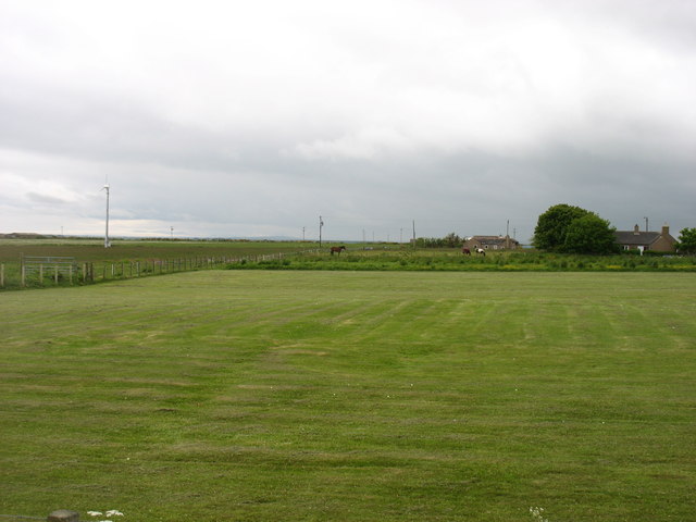
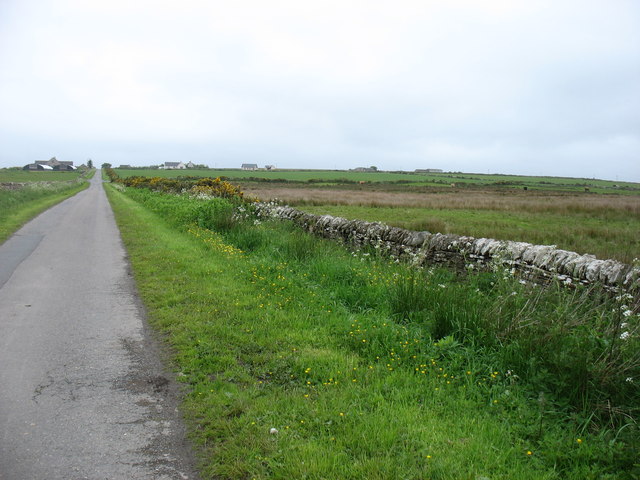
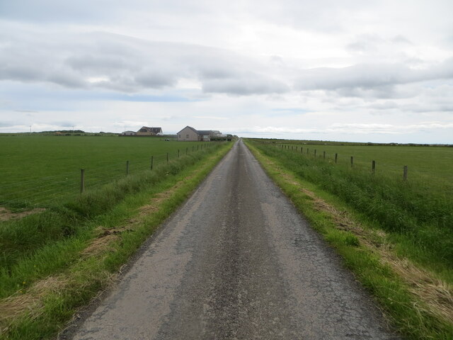
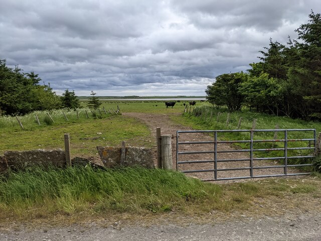
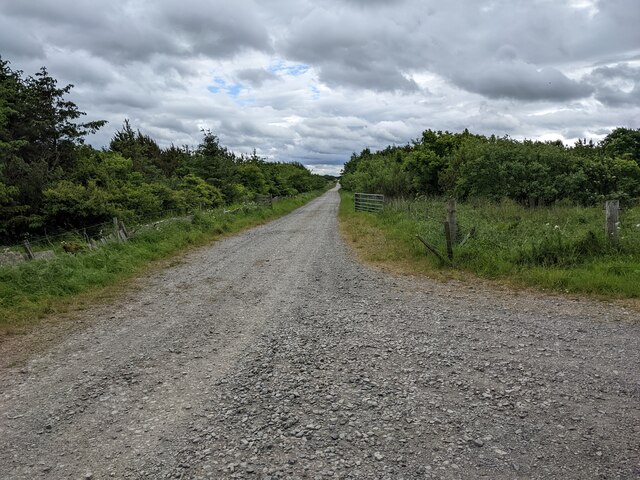
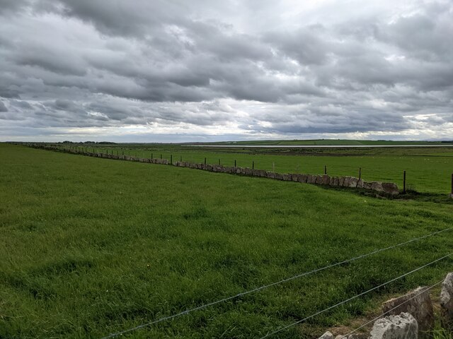
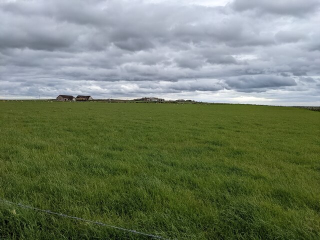
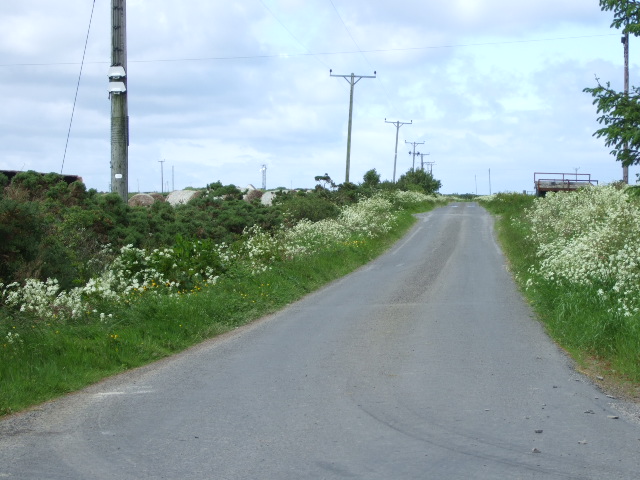
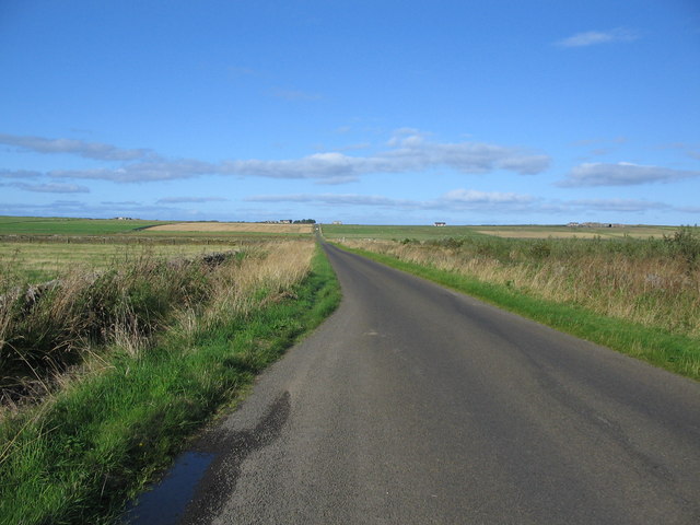
Inkstack is a small coastal village located in the county of Caithness, in the northernmost region of mainland Scotland. Situated on the eastern coast, it lies approximately 10 miles northeast of the town of Wick and 16 miles southwest of John o' Groats. The village is nestled between the rugged cliffs of the North Sea and the rolling hills of Caithness, offering stunning natural landscapes.

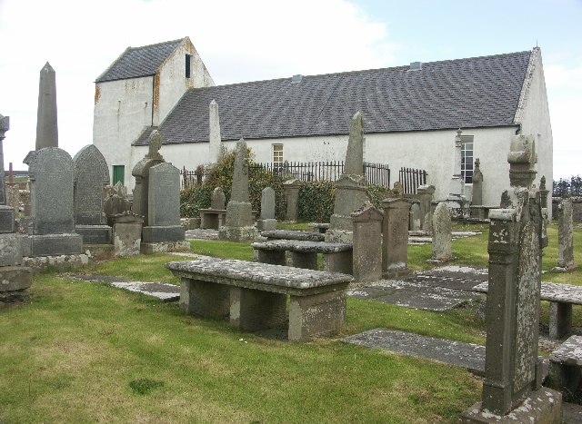
With a population of around 200 residents, Inkstack boasts a tight-knit community that takes pride in its rich history and picturesque surroundings. The village is known for its quaint, traditional cottages, many of which date back several centuries. The architecture reflects the region's heritage and creates a charming atmosphere that attracts visitors from afar.

Inkstack's economy primarily relies on fishing, agriculture, and tourism. The village's proximity to the coast makes it an ideal location for fishing enthusiasts, who can find a variety of fish species in the nearby waters. Agriculture also plays a significant role, with farmers cultivating crops and rearing livestock in the fertile lands surrounding the village.

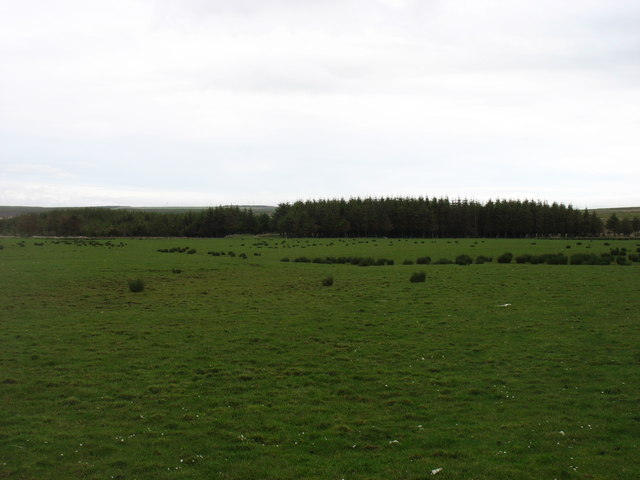
Tourism is a growing industry in Inkstack, thanks to its unspoiled natural beauty and historical sites. Visitors can explore the nearby Caithness coastline, renowned for its dramatic cliffs, pristine beaches, and abundant wildlife. The village itself offers a peaceful retreat, providing opportunities for hiking, birdwatching, and enjoying the tranquility of the Scottish countryside.

In summary, Inkstack, Caithness, is a picturesque coastal village that showcases the beauty of Scotland's northernmost region. With its historical charm, natural landscapes, and friendly community, it offers a serene escape for both residents and visitors seeking a taste of traditional Scottish life.

If you have any feedback on the listing, please let us know in the comments section below.
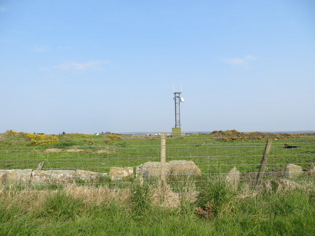
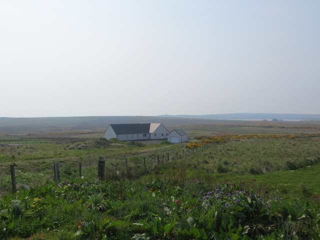
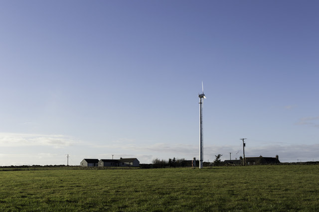
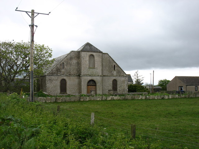
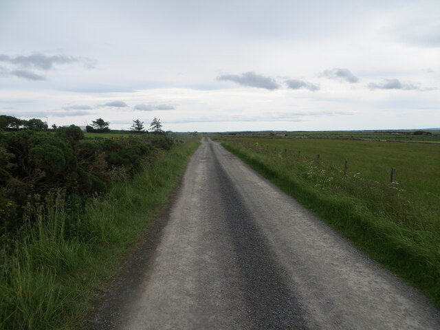
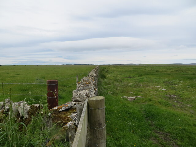
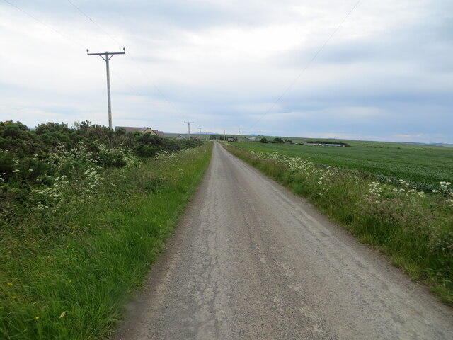
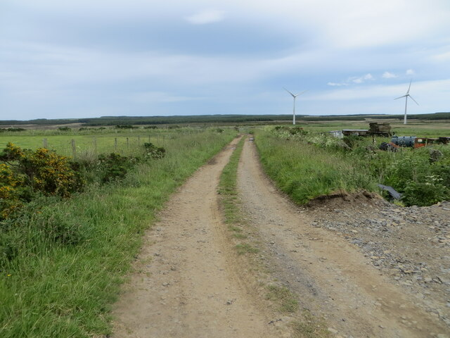
Inkstack Images

Images are sourced within 2km of 58.61163/-3.2812542 or Grid Reference ND2570. Thanks to Geograph Open Source API. All images are credited.

Communications mast near Barrock
New bungalow at the end of the public road
Turbine near Inkstack
The former church at Barrock The church comprised two rectangular buildings, but with a central façade at the east end (seen here) to make it look more imposing than it really was.
The former church at Barrock
The church comprised two rectangular buildings, but with a central façade at the east end (seen here) to make it look more imposing than it really was.
Instack, near Barrock An area with a few, well-scattered, houses.
Instack, near Barrock
An area with a few, well-scattered, houses.
Barrock Wood, Lucifer Moss A small plantation in a low-lying square.
Barrock Wood, Lucifer Moss
A small plantation in a low-lying square.
Approaching Barrock On the minor road from Gills to Castletown.
Approaching Barrock
On the minor road from Gills to Castletown.
Fence-lined minor road between Inkstack and Hollandmake Looking south-eastward.
Fence-lined minor road between Inkstack and Hollandmake
Looking south-eastward.
Dirt road at Hollandmake Looking south-eastward.
Dirt road at Hollandmake
Looking south-eastward.
Field wall separating pastureland near Links of Inkstack Looking north-westward.
Field wall separating pastureland near Links of Inkstack
Looking north-westward.
Minor road between Syster and Lochend Looking south-westward.
Minor road between Syster and Lochend
Looking south-westward.
Farm track near Syster Looking north-eastward.
Farm track near Syster
Looking north-eastward.
Remains of a flagstone wall near Loch Heilen The wall has been supplemented with a wire fence.
Remains of a flagstone wall near Loch Heilen
The wall has been supplemented with a wire fence.
A gravel track into the woodland
Grassy fields near Loch Heilen Note the flagstone walls, a feature of the area, now supplemented by wire fences.
Grassy fields near Loch Heilen
Note the flagstone walls, a feature of the area, now supplemented by wire fences.
A grassy field
A grassy field
Road to Hollandmake From the Barrock road near Inkstack.
Road to Hollandmake
From the Barrock road near Inkstack.
Approaching Inkstack A view looking to the northeast along national cycle route 1. The buildings at Inkstack can be seen on the horizon.
Approaching Inkstack
A view looking to the northeast along national cycle route 1. The buildings at Inkstack can be seen on the horizon.
Show me another place!

Inkstack is located at Grid Ref: ND2570 (Lat: 58.61163, Lng: -3.2812542)

Unitary Authority: Highland

Police Authority: Highlands and Islands

What 3 Words

///regrowth.erupted.shin. Near John o' Groats, Highland

Nearby Locations

Inkstack

Related Wikis

Dunnet Forest

Dunnet Forest in Dunnet, Caithness, Scotland, is the most northerly community woodland on the UK mainland, and has been managed since 2003 by Dunnet Forestry...

Dunnet

Dunnet is a village in Caithness, in the Highland area of Scotland. It is within the Parish of Dunnet. == Village == The village centres on the A836–B855...

Dunnet Church

Dunnet Parish Church is a Church of Scotland church in Dunnet, Caithness, northern Scotland. References to St Mary's Parish Church are known from as far...

Loch of Mey

Loch of Mey is a loch near the north coast of Caithness, Scotland, and one of the most northern water features of mainland Britain. It lies just to the...

Nearby Amenities

Located within 500m of 58.61163,-3.2812542
Power: pole
Lat/Long: 58.6100257/-3.2736509
Power: pole
Lat/Long: 58.6104636/-3.2746093
Power: pole
Lat/Long: 58.6108527/-3.2755473
Power: pole
Lat/Long: 58.611483/-3.2758803
Power: pole
Lat/Long: 58.6120223/-3.2761686
Power: pole
Lat/Long: 58.6126484/-3.2765097
Power: pole
Lat/Long: 58.6132278/-3.2768021
Power: pole
Lat/Long: 58.6140907/-3.2779148
Power: pole
Lat/Long: 58.614611/-3.2785889
Power: pole
Lat/Long: 58.615146/-3.2792711
Power: pole
Lat/Long: 58.6156937/-3.2799736
Power: pole
Lat/Long: 58.6160088/-3.2823309
The data included in this document is from www.openstreetmap.org. The data is made available under ODbL.

Have you been to Inkstack?

Leave your review of Inkstack below (or comments, questions and feedback).