Inham's End

Settlement in Cambridgeshire Fenland

England

Inham's End

Track alongside Bassenhally Reserve Bassenhally Reserve is maintained by Wittlesey Wildfowlers and Conservationists. Access is restricted.
Track alongside Bassenhally Reserve Credit: Jonathan Thacker

Inham's End is a small village located in the Cambridgeshire county of England. Situated in the South Cambridgeshire district, it is approximately 9 miles southwest of the city of Cambridge. The village is nestled in a rural setting, surrounded by picturesque countryside and farmland.

With a population of around 300 residents, Inham's End maintains a close-knit community atmosphere. The village features a charming mix of traditional stone cottages and more modern houses, adding to its quaint and timeless appeal. The village center consists of a few local amenities, including a village hall and a small church, which serve as focal points for community gatherings and events.

The area surrounding Inham's End offers numerous opportunities for outdoor activities and exploration. The village is located near Wimpole Estate, a grand country estate and National Trust property, where visitors can enjoy expansive parklands, gardens, and woodland walks. Additionally, the nearby countryside provides a network of footpaths and bridleways, ideal for hiking, cycling, and horse riding enthusiasts.

Despite its tranquil rural setting, Inham's End benefits from its proximity to larger towns and cities. The city of Cambridge, renowned for its world-class university and historic architecture, offers a range of amenities, including shopping centers, cultural attractions, and dining options, all within easy reach of the village.

Overall, Inham's End provides a peaceful and idyllic setting for those seeking a close community atmosphere and easy access to both rural and urban amenities.

If you have any feedback on the listing, please let us know in the comments section below.
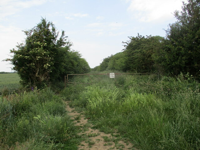
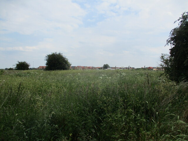
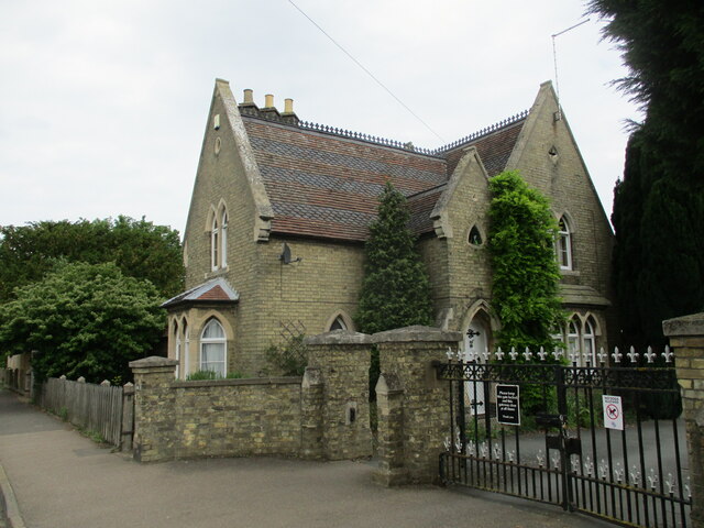
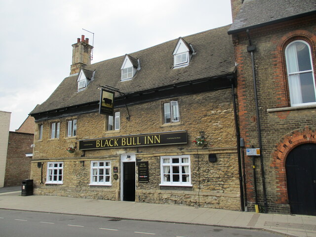
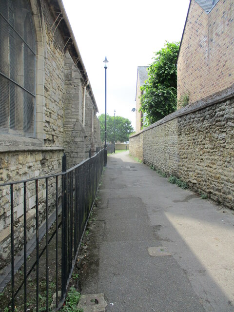
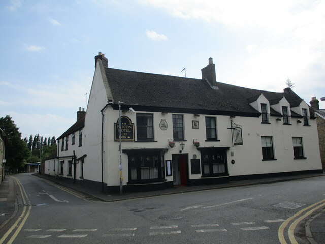
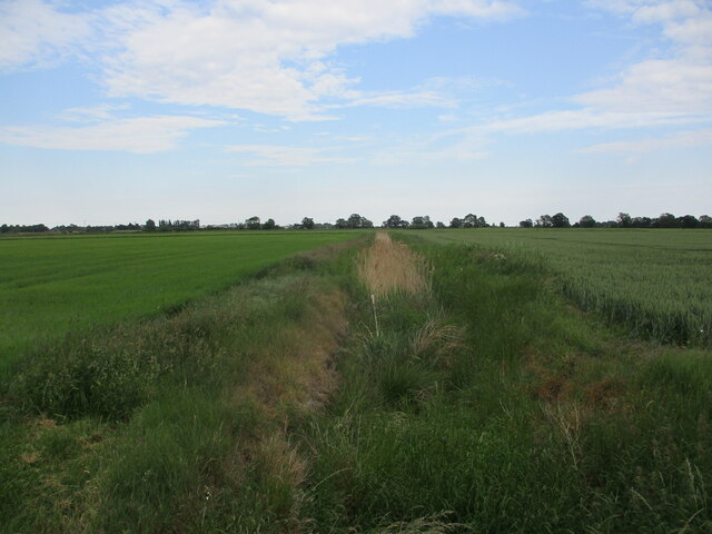
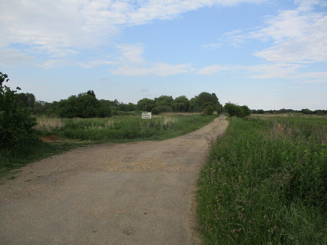
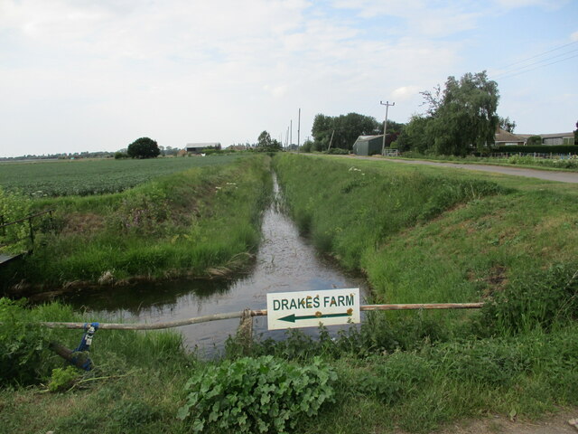
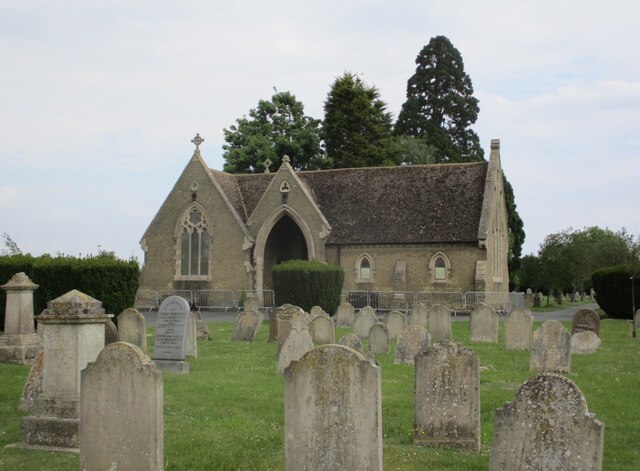
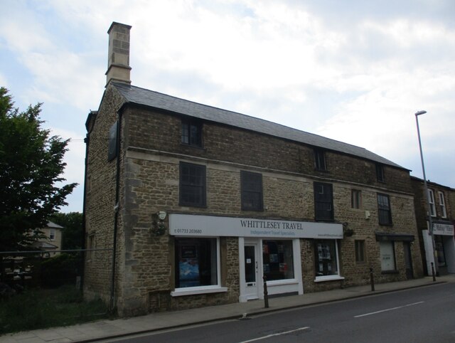
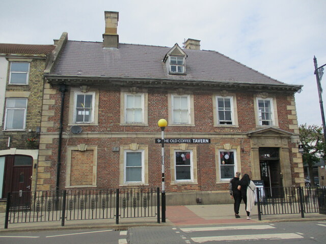
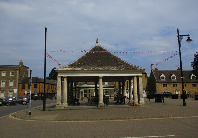
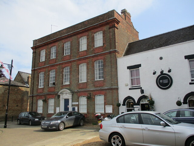
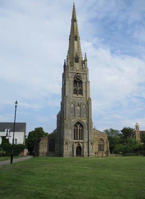
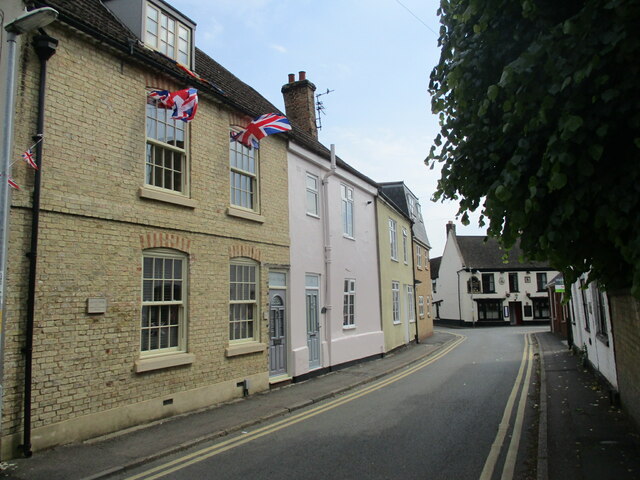
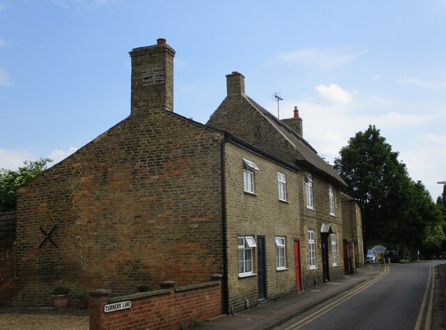
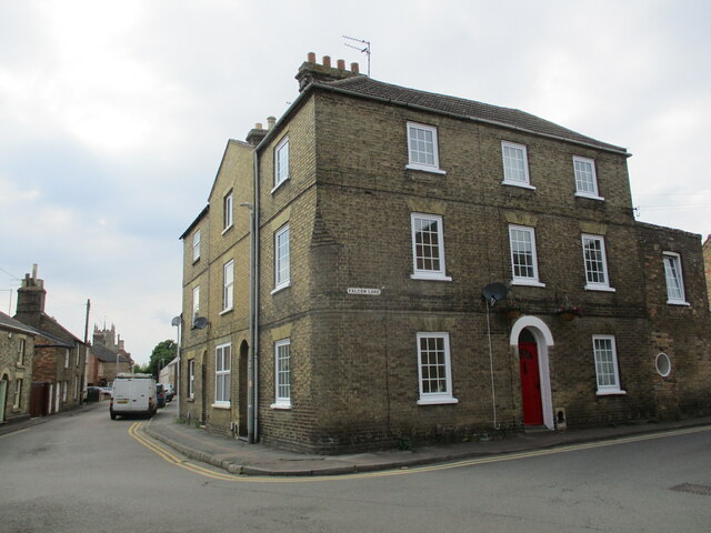
Inham's End Images

Images are sourced within 2km of 52.554728/-0.12487557 or Grid Reference TL2796. Thanks to Geograph Open Source API. All images are credited.

Track alongside Bassenhally Reserve Bassenhally Reserve is maintained by Wittlesey Wildfowlers and Conservationists. Access is restricted.
Track alongside Bassenhally Reserve
Bassenhally Reserve is maintained by Wittlesey Wildfowlers and Conservationists. Access is restricted.
Grass field off Drybread Road, Whittlesey
Cemetery Lodge, Whittlesey Built 1859 <span class="nowrap"><a title="https://historicengland.org.uk/listing/the-list/list-entry/1227875?section=official-list-entry" rel="nofollow ugc noopener" href="https://historicengland.org.uk/listing/the-list/list-entry/1227875?section=official-list-entry">Link</a><img style="margin-left:2px;" alt="External link" title="External link - shift click to open in new window" src="https://s1.geograph.org.uk/img/external.png" width="10" height="10"/></span> Designed by Robert Hutchinson.
Cemetery Lodge, Whittlesey
Built 1859 LinkExternal link Designed by Robert Hutchinson.
The Black Bull Inn. Whittlesey Seventeenth century inn <span class="nowrap"><a title="https://historicengland.org.uk/listing/the-list/list-entry/1228224?section=official-list-entry" rel="nofollow ugc noopener" href="https://historicengland.org.uk/listing/the-list/list-entry/1228224?section=official-list-entry">Link</a><img style="margin-left:2px;" alt="External link" title="External link - shift click to open in new window" src="https://s1.geograph.org.uk/img/external.png" width="10" height="10"/></span>
The Black Bull Inn. Whittlesey
Seventeenth century inn LinkExternal link
Path alongside St. Mary's church, Whittlesey
The Falcon Hotel, Whittlesey Eighteenth century hotel ://historicengland.org.uk/listing/the-list/list-entry/1228085?section=official-list-entry
The Falcon Hotel, Whittlesey
Eighteenth century hotel ://historicengland.org.uk/listing/the-list/list-entry/1228085?section=official-list-entry
Drain off Blackbush Drove
Track to East Delph Lakes
Blackbush Drain
Blackbush Drain
Cemetery Chapel, Whittlesey Built 1859 <span class="nowrap"><a title="https://historicengland.org.uk/listing/the-list/list-entry/1227877?section=official-list-entry" rel="nofollow ugc noopener" href="https://historicengland.org.uk/listing/the-list/list-entry/1227877?section=official-list-entry">Link</a><img style="margin-left:2px;" alt="External link" title="External link - shift click to open in new window" src="https://s1.geograph.org.uk/img/external.png" width="10" height="10"/></span> Designed by Robert Hutchinson.
Cemetery Chapel, Whittlesey
Built 1859 LinkExternal link Designed by Robert Hutchinson.
9 Market Street, Whittlesey Seventeenth century house much altered and extended <span class="nowrap"><a title="https://historicengland.org.uk/listing/the-list/list-entry/1228220?section=official-list-entry" rel="nofollow ugc noopener" href="https://historicengland.org.uk/listing/the-list/list-entry/1228220?section=official-list-entry">Link</a><img style="margin-left:2px;" alt="External link" title="External link - shift click to open in new window" src="https://s1.geograph.org.uk/img/external.png" width="10" height="10"/></span>
9 Market Street, Whittlesey
Seventeenth century house much altered and extended LinkExternal link
The Old Coffee Tavern A seventeenth century house, later a bank and now a bar <span class="nowrap"><a title="https://historicengland.org.uk/listing/the-list/list-entry/1228222?section=official-list-entry" rel="nofollow ugc noopener" href="https://historicengland.org.uk/listing/the-list/list-entry/1228222?section=official-list-entry">Link</a><img style="margin-left:2px;" alt="External link" title="External link - shift click to open in new window" src="https://s1.geograph.org.uk/img/external.png" width="10" height="10"/></span>
The Old Coffee Tavern
A seventeenth century house, later a bank and now a bar LinkExternal link
The Buttercross (Market Cross), Whittlesey Dates from the seventeenth century <span class="nowrap"><a title="https://historicengland.org.uk/listing/the-list/list-entry/1287355?section=official-list-entry" rel="nofollow ugc noopener" href="https://historicengland.org.uk/listing/the-list/list-entry/1287355?section=official-list-entry">Link</a><img style="margin-left:2px;" alt="External link" title="External link - shift click to open in new window" src="https://s1.geograph.org.uk/img/external.png" width="10" height="10"/></span>
The Buttercross (Market Cross), Whittlesey
Dates from the seventeenth century LinkExternal link
10 Market Place, Whittlesey Eighteenth century house at one time the Post Office <span class="nowrap"><a title="https://historicengland.org.uk/listing/the-list/list-entry/1228131?section=official-list-entry" rel="nofollow ugc noopener" href="https://historicengland.org.uk/listing/the-list/list-entry/1228131?section=official-list-entry">Link</a><img style="margin-left:2px;" alt="External link" title="External link - shift click to open in new window" src="https://s1.geograph.org.uk/img/external.png" width="10" height="10"/></span>
10 Market Place, Whittlesey
Eighteenth century house at one time the Post Office LinkExternal link
St. Mary's church, Whittlesey The fifteenth century tower and spire rank among England's finest <span class="nowrap"><a title="https://historicengland.org.uk/listing/the-list/list-entry/1228792?section=official-list-entry" rel="nofollow ugc noopener" href="https://historicengland.org.uk/listing/the-list/list-entry/1228792?section=official-list-entry">Link</a><img style="margin-left:2px;" alt="External link" title="External link - shift click to open in new window" src="https://s1.geograph.org.uk/img/external.png" width="10" height="10"/></span>
St. Mary's church, Whittlesey
The fifteenth century tower and spire rank among England's finest LinkExternal link
St. Mary's Street, Whittlesey
Turners Lane, Whittlesey The thatched house is one of several scattered around Whittlesey.
Turners Lane, Whittlesey
The thatched house is one of several scattered around Whittlesey.
House on the corner of Falcon Lane, Whittlesey
Show me another place!

Inham's End is located at Grid Ref: TL2796 (Lat: 52.554728, Lng: -0.12487557)

Division: Isle of Ely

Administrative County: Cambridgeshire

District: Fenland

Police Authority: Cambridgeshire

What 3 Words

///fortnight.scowls.cigar. Near Whittlesey, Cambridgeshire

Nearby Locations

Inham's End

Related Wikis

Whittlesey Museum

The Whittlesey Museum is a local history museum in Market Street, Whittlesey, Cambridgeshire, England. It is based on the ground floor of Whittlesey Town...

Whittlesey Rural District

Whittlesey was a rural district in the Isle of Ely from 1894 to 1926. It was created by the Local Government Act 1894 based on the Whittlesey rural sanitary...

Whittlesey

Whittlesey (also Whittlesea) is a market town and civil parish in the Fenland district of Cambridgeshire, England. Whittlesey is 6 miles (10 km) east of...

Sir Harry Smith Community College

Sir Harry Smith Community College is a secondary school in Whittlesey, Cambridgeshire. Opened in 1953 on the former site of the Whittlesey Workhouse, the...

Nearby Amenities

Located within 500m of 52.554728,-0.12487557
Waterway: lock_gate
Lat/Long: 52.5504366/-0.1249669
Post Box
Postal Code: PE7
Ref: PE7 373
Source: survey
Lat/Long: 52.5574132/-0.1271448
Post Box
Mapillary: 1940804516077523
Post Box Type: pillar
Postal Code: PE7
Ref: PE7 374
Source: survey
Survey Date: 2020-08-20
Lat/Long: 52.5557656/-0.127108
Bus Stop
Whitmore Street
Bus: yes
Naptan AtcoCode: 0500FWHIY005
Naptan Bearing: N
Naptan CommonName: Whitmore Street
Naptan Indicator: near
Naptan Landmark: Whitmore Street
Naptan NaptanCode: cmbdmdjg
Naptan ShortCommonName: Broad Street
Naptan Street: Broad Street
Naptan Verified: no
Public Transport: platform
Source: naptan_import
Lat/Long: 52.5576205/-0.1305298
Bus Stop
Whitmore Street
Bus: yes
Naptan AtcoCode: 0500FWHIY006
Naptan Bearing: S
Naptan CommonName: Whitmore Street
Naptan Indicator: opp
Naptan Landmark: Whitmore Street
Naptan NaptanCode: cmbdmdjm
Naptan ShortCommonName: Broad Street
Naptan Street: Broad Street
Naptan Verified: no
Public Transport: platform
Source: naptan_import
Lat/Long: 52.5573597/-0.1303934
Waterway: lock_gate
Lat/Long: 52.5503297/-0.1246157
Barrier: bollard
Bicycle: yes
Foot: yes
Motorcycle: yes
Lat/Long: 52.5542907/-0.1195056
Source: survey
Source Name: voice
Lat/Long: 52.554623/-0.1198054
Barrier: bollard
Bicycle: yes
Foot: yes
Motorcycle: yes
Lat/Long: 52.5544526/-0.1191888
Post Box
Operator: Royal Mail
Post Box Type: pillar
Ref: PE7 163
Royal Cypher: GR
Royal Cypher Wikidata: Q33102273
Lat/Long: 52.5536725/-0.1196399
Post Box
Brand: Royal Mail
Brand Wikidata: Q638098
Brand Wikipedia: en:Royal Mail
Mapillary: 928924351236248
Operator: Royal Mail
Operator Wikidata: Q638098
Post Box Mounting: brick_wall
Post Box Type: wall
Ref: PE7 62
Source: survey
Survey Date: 2020-08-20
Lat/Long: 52.5529619/-0.1253367
Source: survey
Lat/Long: 52.5559854/-0.1309781
Addr Postcode: PE7 1BJ
Lat/Long: 52.5561487/-0.1305147
Barrier: bollard
Bicycle: yes
Foot: yes
Lat/Long: 52.5544692/-0.1316418
Recycling
Recycling Glass: yes
Recycling Paper: yes
Source: survey
Lat/Long: 52.5561392/-0.1304337
Pub
The Black Bull Inn
Operator: Stonegate
Operator Wikidata: Q7619176
Source: survey
Source Name: voice
Website: https://www.craftunionpubs.com/black-bull-whittlesey
Wikidata: Q26522088
Lat/Long: 52.5565942/-0.1291375
Barrier: bollard
Bicycle: yes
Foot: yes
Lat/Long: 52.5572787/-0.125767
Recycling
Recycling Cans: yes
Recycling Clothes: yes
Recycling Glass: yes
Recycling Paper: yes
Lat/Long: 52.5575149/-0.1247236
Telephone
Booth: KX100
Covered: booth
Operator: BT
Payment Coins: yes
Payment Credit Cards: yes
Payment Debit Cards: yes
Payment Telephone Cards: yes
Lat/Long: 52.5564006/-0.1279201
Barrier: bollard
Bicycle: yes
Foot: yes
Lat/Long: 52.5537881/-0.1273151
Co-op Food
Brand: Co-op Food
Brand Wikidata: Q3277439
Brand Wikipedia: en:Co-op Food
Operator: The Co-operative Group
Operator Wikidata: Q117202
Shop: supermarket
Source: survey
Source Name: voice
Website: https://www.coop.co.uk/store-finder/PE7-1AW/763-blunts-lane
Lat/Long: 52.5572353/-0.126287
Doctors
New Queen Street Surgery
Healthcare: doctor
Source: survey
Source Name: voice
Lat/Long: 52.5579809/-0.1252019
Pharmacy
Boots
Brand: Boots
Brand Wikidata: Q6123139
Brand Wikipedia: en:Boots UK
Dispensing: yes
Healthcare: pharmacy
Source: survey
Source Name: voice
Lat/Long: 52.5577901/-0.1247429
Pub
The New Crown
Lat/Long: 52.5586542/-0.1269313
Library
Whittlesey Library & Learning Centre
Source: survey
Lat/Long: 52.5565197/-0.1303924
Bar
Childers
Source: survey
Source Name: voice
Lat/Long: 52.5555592/-0.1265038
Fast Food
Tien Tien Dinner
Cuisine: chinese
Source: survey
Source Name: voice
Lat/Long: 52.5570604/-0.1194016
Crossing
Crossing: traffic_signals
Crossing Ref: puffin
Source: survey
Lat/Long: 52.5569258/-0.1188351
Post Box
Operator: Royal Mail
Ref: PE7 180
Source: survey
Lat/Long: 52.5568558/-0.1221826
Community Centre
Whittlesey Youth & Community Centre
Source: survey
Source Name: voice
Lat/Long: 52.5556808/-0.1257088
Pub
The George Hotel
Brand: Wetherspoon
Brand Wikidata: Q6109362
Internet Access: wlan
Internet Access Fee: no
Website: https://www.jdwetherspoon.com/pubs/all-pubs/england/cambridgeshire/the-george-hotel-whittlesey
Lat/Long: 52.5561724/-0.1274158
Nisa Local
Alt Name: Keshco LTD
Brand: Nisa Local
Brand Wikidata: Q16999069
Brand Wikipedia: en:Nisa (retailer)
Shop: convenience
Lat/Long: 52.5569942/-0.1304079
Bar
Hub's Place
Lat/Long: 52.5561596/-0.1280219
Post Office
Whittlesey Post Office
Brand: Post Office
Brand Wikidata: Q1783168
Check Date: 2023-09-27
Opening Hours: Mo-Th 08:30-17:30; Fr 09:00-17:30; Sa 09:00-12:00
Operator: Nisa Local
Ref Pol Id: 5361
Lat/Long: 52.5570146/-0.130247
Bank
Nationwide
Brand: Nationwide
Brand Wikidata: Q846735
Brand Wikipedia: en:Nationwide Building Society
Website: https://www.nationwide.co.uk/branches/whittlesey/1-angel-house
Lat/Long: 52.5566192/-0.1270457
Fast Food
Curry Cottage
Cuisine: international
Designation: Curry Cottage
Source: Local Knowledge
Lat/Long: 52.5568412/-0.1282096
Bar
Quinns Bar
Addr Postcode: PE7 1BD
Addr Street: Market Street
Old Name: Dons Club
Website: http://outa-stock.co.uk/boat/quinnsfrontpage.htm
Lat/Long: 52.5568573/-0.1294866
Atm
Fee: no
Opening Hours: 24/7
Operator: Nationwide Building Society
Lat/Long: 52.5566052/-0.1271398
Heron Foods
Addr City: Peterborough
Addr Country: GB
Addr Housenumber: 23
Addr Postcode: PE7 1AJ
Addr Street: High Causeway
Brand: Heron Foods
Brand Wikidata: Q5743472
Brand Wikipedia: en:Heron Foods
Contact Website: https://heronfoods.com/store/whittlesey/
Fhrs Id: 1041318
Shop: supermarket
Lat/Long: 52.557671/-0.1274132
The Muffin Oven
Shop: bakery
Lat/Long: 52.5572861/-0.1303671
Whittlesey
Place: town
Source: survey
Wikidata: Q2335054
Lat/Long: 52.5550114/-0.122643
Restaurant
Sonaragon Tandoori
Cuisine: indian
Source: note#41768
Lat/Long: 52.5562261/-0.128125
Bus Station
Whittlesey - Grosvenor Road
Bus: yes
Operator: Stagecoach
Public Transport: station
Lat/Long: 52.5567719/-0.1259036
Restaurant
Vesuvio's
Cuisine: italian
Lat/Long: 52.5565956/-0.126452
Cole's Barbers
Shop: hairdresser
Lat/Long: 52.5570746/-0.1283365
Cafe
Not Just Cafe
Cuisine: cafe/diner
Lat/Long: 52.5564956/-0.1301706
Fast Food
Feng Wah
Cuisine: chinese
Lat/Long: 52.5564147/-0.1297358
Fast Food
Kebabland
Cuisine: kebab
Lat/Long: 52.5566086/-0.1298986
Whittlesey Museum
Addr City: Peterborough
Addr Street: Market Street
Opening Hours: Fr-Su 14:30-16:30; Sa 10:00-12:00
Phone: +44 7706132437
Tourism: museum
Website: https://www.whittleseymuseum.co.uk/
Wikidata: Q16903375
Lat/Long: 52.5565915/-0.1289316
Addr Postcode: PE7 1WG
Building: yes
Lat/Long: 52.5545181/-0.1184343
Power: portal
Lat/Long: 52.5506733/-0.1265111
Power: portal
Transformer: distribution
Lat/Long: 52.5510651/-0.1262241
Generator Method: photovoltaic
Generator Output Electricity: yes
Generator Source: solar
Generator Type: solar_photovoltaic_panel
Location: roof
Power: generator
Lat/Long: 52.5569798/-0.1243204
Generator Method: photovoltaic
Generator Output Electricity: yes
Generator Source: solar
Generator Type: solar_photovoltaic_panel
Location: roof
Power: generator
Lat/Long: 52.5588942/-0.1249909
Generator Method: photovoltaic
Generator Output Electricity: yes
Generator Source: solar
Generator Type: solar_photovoltaic_panel
Location: roof
Power: generator
Lat/Long: 52.5588795/-0.1248434
Generator Method: photovoltaic
Generator Output Electricity: yes
Generator Source: solar
Generator Type: solar_photovoltaic_panel
Location: roof
Power: generator
Lat/Long: 52.5591111/-0.123851
TLC R Us
Shop: general
Lat/Long: 52.5573629/-0.1271355
Savers
Brand: Savers
Brand Wikidata: Q7428189
Brand Wikipedia: en:Savers (UK retailer)
Official Name: Savers Health & Beauty
Shop: chemist
Lat/Long: 52.5571868/-0.1271033
Fast Food
Rambos Best Kebab
Cuisine: kebab
Drive Through: no
Lat/Long: 52.5578448/-0.1269303
The Original Factory Shop
Shop: yes
Lat/Long: 52.5574795/-0.1274238
Freeman's Butchers
Shop: butcher
Lat/Long: 52.5573377/-0.1273353
J Neville Opticians
Shop: optician
Lat/Long: 52.5575032/-0.1302991
Bob's Records
Shop: music
Lat/Long: 52.5574461/-0.1303273
Saxon Muscle
Shop: yes
Lat/Long: 52.5573817/-0.1303541
J.Jones Butchers
Shop: butcher
Lat/Long: 52.5577282/-0.1302361
Larrys Heel Bar
Shop: shoe_repair
Lat/Long: 52.5576679/-0.1302629
Kellyvision
Shop: electronics
Lat/Long: 52.5578318/-0.1301503
Townhall
Whittlesey Town Council
Addr Housename: Peel House
Lat/Long: 52.5569542/-0.1278078
Atm
Opening Hours: open while Co-Op is open
Lat/Long: 52.5573346/-0.1262589
Atm
Opening Hours: open while Heron Foods is open
Lat/Long: 52.5577038/-0.1273742
Atm
Opening Hours: While Nisa Local is open
Lat/Long: 52.5569243/-0.1303085
Fast Food
Domino's
Addr Housenumber: 6
Addr Street: Queen Street
Brand: Domino's
Brand Wikidata: Q839466
Brand Wikipedia: en:Domino's Pizza
Cuisine: pizza
Takeaway: yes
Lat/Long: 52.5568012/-0.1278044
Whittlesey War Memorial
Historic: memorial
Memorial: war_memorial
Website: https://www.iwm.org.uk/memorials/item/memorial/3483
Lat/Long: 52.5566496/-0.1278567
Bench
Lat/Long: 52.5564261/-0.127553
Bench
Lat/Long: 52.5564045/-0.1275128
Bench
Lat/Long: 52.5564498/-0.127447
Bench
Lat/Long: 52.5564681/-0.1274906
Harrison Rose Estate Agents
Addr City: Whittlesey
Addr Housename: 3 Angel House
Addr Postcode: PE7 1SE
Addr Street: Eastgate
Facebook: https://www.facebook.com/harrisonroseproperty
Office: estate_agent
Opening Hours: Mo-Su 09:00-22:00
Phone: +44 1733 202525
Website: https://www.harrisonroseproperty.com/
Lat/Long: 52.5566021/-0.1267849
Defibrillator
Defibrillator Location: outside Peel House, Queen Street, Whittlesey
Emergency: defibrillator
Indoor: no
Lat/Long: 52.5569428/-0.1278868
Aspect Fires
Addr City: Whittlesea
Addr Housenumber: 37
Addr Postcode: PE7 1BA
Addr Street: Market Street
Shop: fireplace
Website: https://www.aspectfires.co.uk
Lat/Long: 52.55657/-0.1306244
Addr Postcode: PE7 1BJ
Lat/Long: 52.5561878/-0.1306341
Motorcycle Parking
Lat/Long: 52.555616/-0.1306901
Parking Space
Parking Space: disabled
Lat/Long: 52.5560775/-0.1305962
Parking Space
Parking Space: disabled
Lat/Long: 52.556044/-0.1306016
Parking Space
Parking Space: disabled
Lat/Long: 52.5559209/-0.131142
Parking Space
Parking Space: disabled
Lat/Long: 52.5559168/-0.1310817
Boome Hair & Beauty
Addr City: Whittlesea
Addr Housenumber: 27
Addr Street: Market Street
Shop: hairdresser
Website: https://www.boome.biz
Lat/Long: 52.5564697/-0.1300236
Defibrillator
Emergency: defibrillator
Lat/Long: 52.5564509/-0.1297808
Facet Community Connections
Shop: charity
Lat/Long: 52.5564558/-0.1298626
Phil's Mart
Shop: car_parts
Lat/Long: 52.5563955/-0.1296145
Hair Beautique
Shop: hairdresser
Lat/Long: 52.5564387/-0.129526
Bommb
Shop: candles
Lat/Long: 52.5564232/-0.1293597
East Anglia's Children's Hospices
Operator: EACH
Shop: charity
Lat/Long: 52.5564175/-0.1284343
Whittlesey Travel
Shop: travel_agency
Lat/Long: 52.5564582/-0.1286932
Parkers News
Shop: newsagent
Lat/Long: 52.5564525/-0.1291492
Sharman Quinney
Office: estate_agent
Lat/Long: 52.5566923/-0.1302515
Lamp Post
Lat/Long: 52.5549808/-0.1247656
Lamp Post
Lat/Long: 52.5540751/-0.1252876
Lamp Post
Lat/Long: 52.5543003/-0.1251295
Lamp Post
Lat/Long: 52.5544871/-0.1249706
Lamp Post
Lat/Long: 52.554391/-0.1233948
Lamp Post
Lat/Long: 52.554174/-0.1222215
Lamp Post
Lat/Long: 52.5537303/-0.1197913
Lamp Post
Lat/Long: 52.5535599/-0.1188873
Lamp Post
Lat/Long: 52.5534704/-0.1183801
Power: pole
Lat/Long: 52.5507805/-0.1279975
The data included in this document is from www.openstreetmap.org. The data is made available under ODbL.

Have you been to Inham's End?

Leave your review of Inham's End below (or comments, questions and feedback).