Ingham Cliff
Settlement in Lincolnshire West Lindsey
England
Ingham Cliff
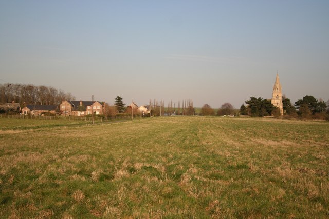
Ingham Cliff is a small village located in the county of Lincolnshire, England. Situated on the eastern edge of the Lincolnshire Wolds, this picturesque village offers breathtaking views and a tranquil atmosphere for its residents and visitors alike.
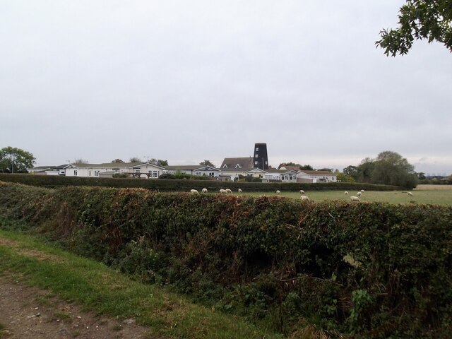
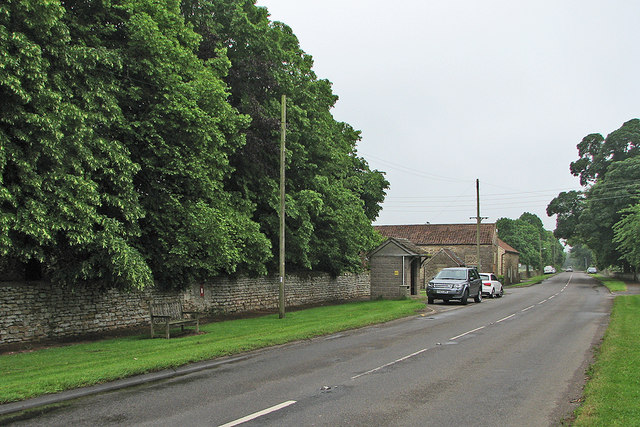
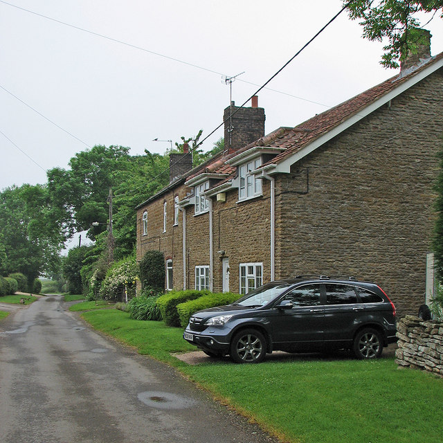
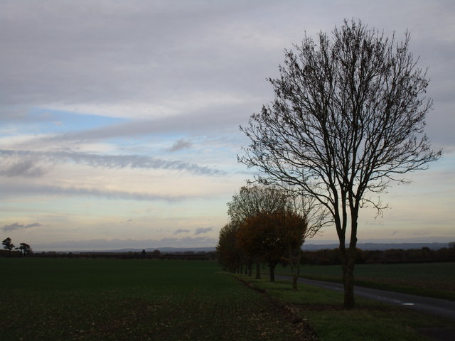
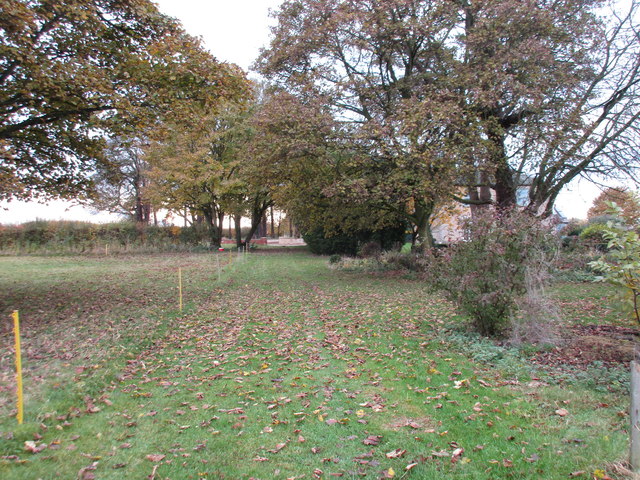
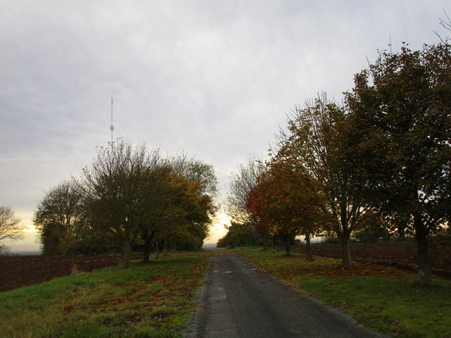
The village is known for its charming rural character and is surrounded by lush green fields and rolling hills. Ingham Cliff is home to a close-knit community that takes pride in preserving its natural beauty and historical heritage.
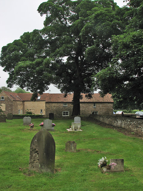
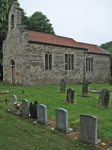
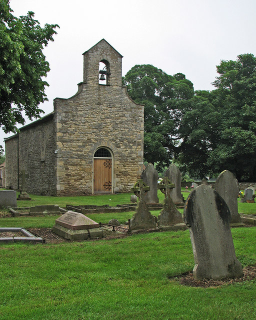
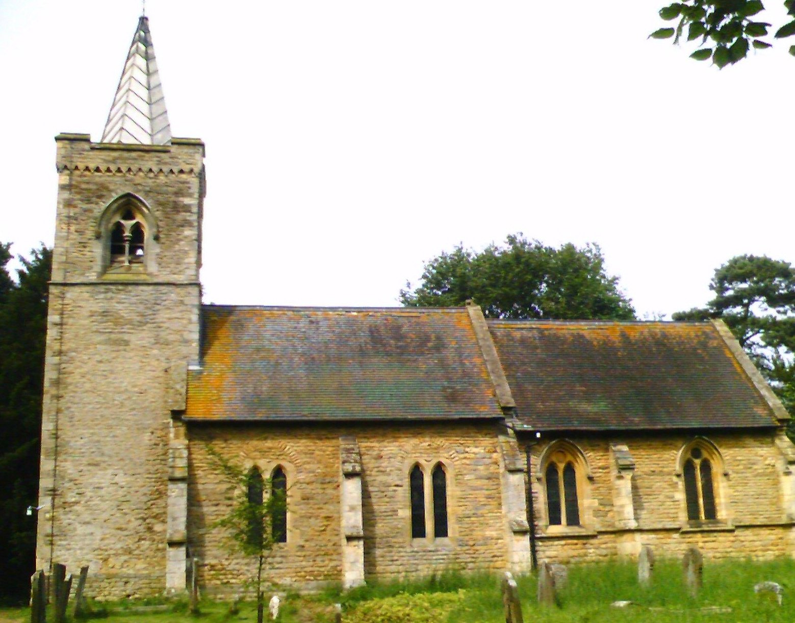
One of the notable landmarks in Ingham Cliff is the St. Bartholomew's Church, a beautiful medieval church dating back to the 12th century. This historic building is a popular destination for history enthusiasts and those seeking a moment of serenity.
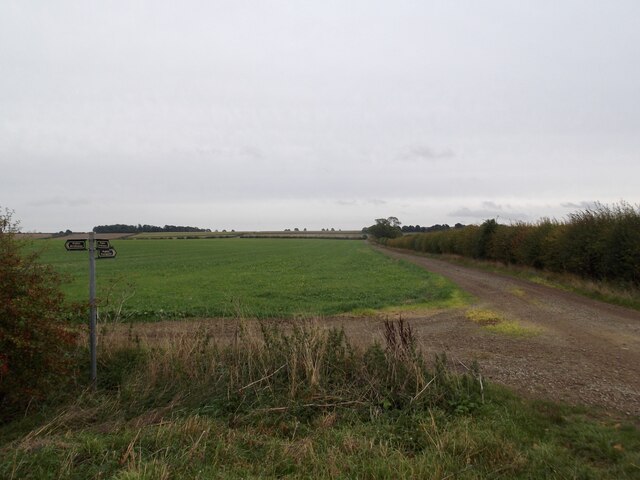
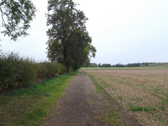
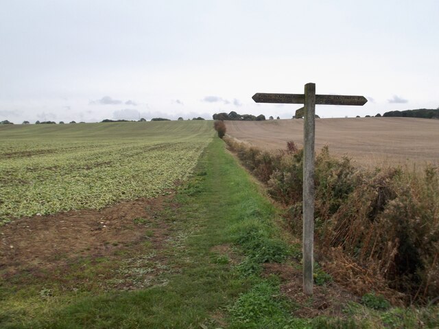
In addition to its historic charm, Ingham Cliff also offers a range of recreational activities for outdoor enthusiasts. The surrounding countryside provides ample opportunities for walking, cycling, and horse riding, with well-maintained trails offering stunning views of the Wolds.
The village is well-connected to the nearby towns of Lincoln and Grimsby, with regular bus services providing convenient transportation options. Additionally, the village is within close proximity to the coastal town of Cleethorpes, offering residents easy access to the sandy beaches and seaside attractions.
Ingham Cliff is a hidden gem in Lincolnshire, offering a peaceful retreat from the hustle and bustle of city life. Its natural beauty, historical landmarks, and strong community spirit make it a truly special place to live or visit.
If you have any feedback on the listing, please let us know in the comments section below.
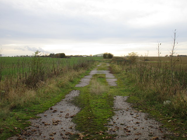
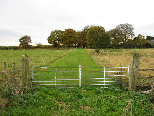
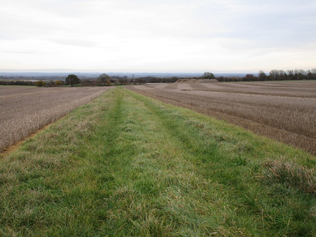
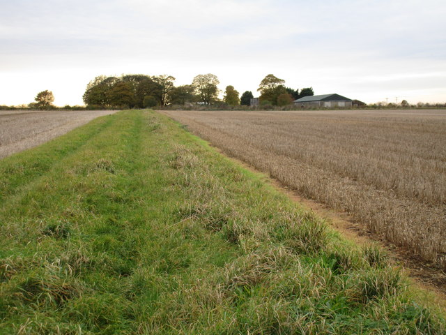
Ingham Cliff Images
Images are sourced within 2km of 53.340479/-0.56374468 or Grid Reference SK9583. Thanks to Geograph Open Source API. All images are credited.
Ingham Cliff is located at Grid Ref: SK9583 (Lat: 53.340479, Lng: -0.56374468)
Division: Parts of Lindsey
Administrative County: Lincolnshire
District: West Lindsey
Police Authority: Lincolnshire
What 3 Words
///breath.finally.goofy. Near Dunholme, Lincolnshire
Nearby Locations
Related Wikis

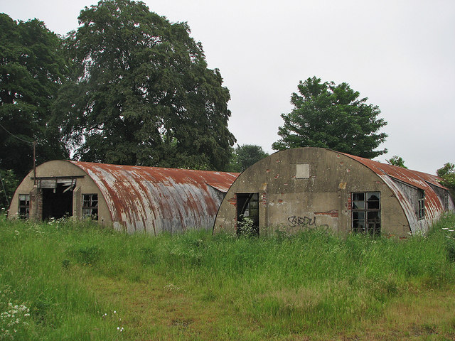
RAF Cammeringham
Royal Air Force Cammeringham or more simply RAF Cammeringham (formerly RAF Ingham) was a Royal Air Force station used by RAF Bomber Command between 1940...

Ingham, Lincolnshire
Ingham is a civil parish in the West Lindsey district of Lincolnshire, England. It lies 7 miles (11 km) geographically north of the centre of Lincoln and...

Cammeringham Priory
Cammeringham Priory was a priory in Cammeringham, Lincolnshire, England, and was one of nine Premonstratensian houses in the historical county. It was...

Cammeringham
Cammeringham is a village and civil parish in the West Lindsey district of Lincolnshire, England. It is situated 6 miles (10 km) north of Lincoln, and...

Fillingham
Fillingham is a village and civil parish in the West Lindsey district of Lincolnshire, England. It is situated 9 miles (14.5 km) north from the city and...

West Lindsey
West Lindsey is a local government district in Lincolnshire, England. Its council is based in Gainsborough, the district's largest town. The district also...
Brattleby
Brattleby is a village and civil parish in the West Lindsey district of Lincolnshire, England. The population of the civil parish at the 2011 census was...
Aisthorpe
Aisthorpe is a small village and civil parish in the West Lindsey district of Lincolnshire, England. Aisthorpe is recorded as Æstorp in 1086, probably...
Nearby Amenities
Located within 500m of 53.340479,-0.56374468Have you been to Ingham Cliff?
Leave your review of Ingham Cliff below (or comments, questions and feedback).