Hope
Settlement in Sutherland
Scotland
Hope

Hope is a small village located in the county of Sutherland, Scotland. Situated on the northern coast, it is part of the Highland region and lies approximately 16 miles northwest of the town of Dornoch. With a population of around 300 residents, Hope is known for its picturesque surroundings and tranquil atmosphere.
The village is nestled between the rolling hills of the Sutherland countryside and the stunning coastline of the North Sea. It offers breathtaking views of the sea and the nearby mountains, making it a popular destination for nature enthusiasts and outdoor adventurers. The area is abundant in wildlife, including various bird species and marine life.
Hope is rich in history as well, with evidence of human occupation dating back thousands of years. The nearby archaeological site of Dun Dornaigil, an Iron Age broch, stands as a testament to the village's ancient past. Additionally, the ruins of an 18th-century church add to the charm and historical significance of the area.
Despite its small size, Hope has a strong sense of community and offers basic amenities to its residents and visitors. There is a local pub and a small convenience store, providing essential supplies to the village and serving as a gathering place for locals and tourists alike.
Overall, Hope in Sutherland offers a peaceful and idyllic setting, combining natural beauty, historical significance, and a close-knit community. It is a place where one can escape the hustle and bustle of modern life and immerse themselves in the serenity of the Scottish countryside.
If you have any feedback on the listing, please let us know in the comments section below.
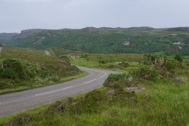
Hope Images
Images are sourced within 2km of 58.502495/-4.6190305 or Grid Reference NC4760. Thanks to Geograph Open Source API. All images are credited.


Hope is located at Grid Ref: NC4760 (Lat: 58.502495, Lng: -4.6190305)
Unitary Authority: Highland
Police Authority: Highlands and Islands
What 3 Words
///slam.drum.unguarded. Near Oldshoremore, Highland
Nearby Locations
Related Wikis
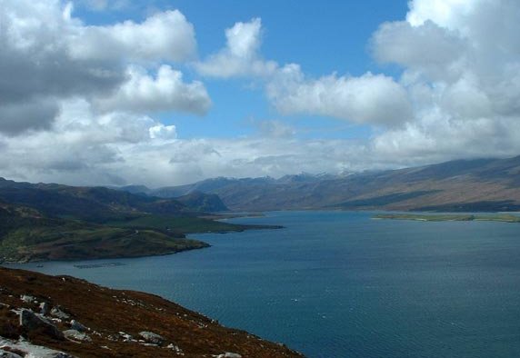
Loch Eriboll
Loch Eriboll (Scottish Gaelic: "Loch Euraboil") is a 16 km (9.9 mi) long sea loch on the north coast of Scotland, which has been used for centuries as...

Portnancon
Portnacon is a small remote crofting township, and former fishing station, on the west shore of Loch Eriboll in Sutherland, Scottish Highlands in the...

Eriboll
Eriboll (Scottish Gaelic: Earabol) is a village in Sutherland, Scotland. The village is situated on the south eastern shore of Loch Eriboll, in the northern...
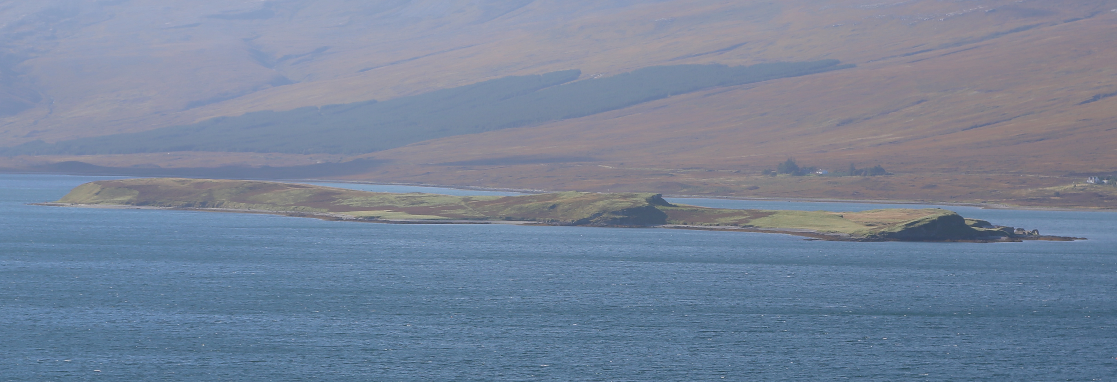
Eilean Choraidh
Eilean Choraidh, also known as Horse Island is an island in Loch Eriboll in Sutherland on the north coast of Scotland. It is about 26 hectares (64 acres...
Loch Hope
Loch Hope is a loch in the Durness parish in Sutherland in the Highland Council Area of northern Scotland. It is located on the A838 main road. The settlements...
Sutherland spaceport
The Sutherland spaceport, also known as Space Hub Sutherland or UKVL Sutherland, is a planned spaceport in the United Kingdom. It would be the first vertical...

A' Mhòine
A' Mhòine (Scottish Gaelic: [ә.ˈvɔːɲә]) is a peninsula in the Highlands, Scotland. The peninsula is bounded to the west by Loch Eriboll, and to the east...
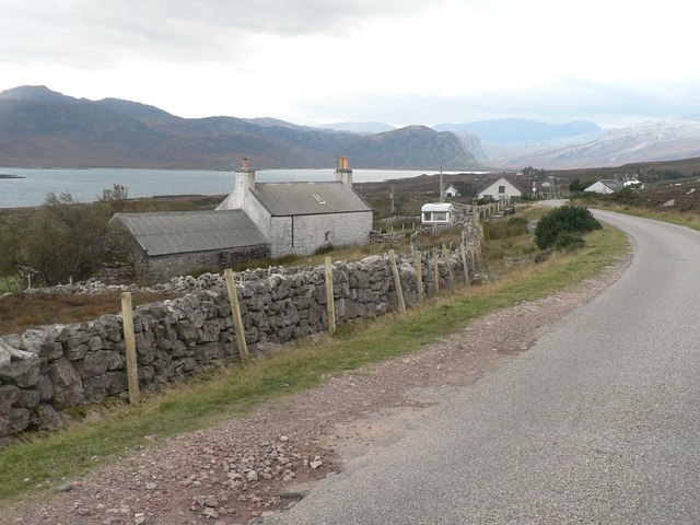
Laid, Sutherland
Laid is a remote, linear crofting township scattered along the A838 road on the western shore of the sea loch, Loch Eriboll in Sutherland in the northern...
Nearby Amenities
Located within 500m of 58.502495,-4.6190305Have you been to Hope?
Leave your review of Hope below (or comments, questions and feedback).