Hoofield

Settlement in Cheshire

England

Hoofield

River Gowey River Gowey seen from Huxley Bridge.
River Gowey Credit: Peter McDermott

Hoofield is a charming village located in the county of Cheshire, England. Situated approximately 8 miles east of the city of Chester, it is nestled amidst the picturesque Cheshire countryside. The village is part of the local government district of Cheshire West and Chester.

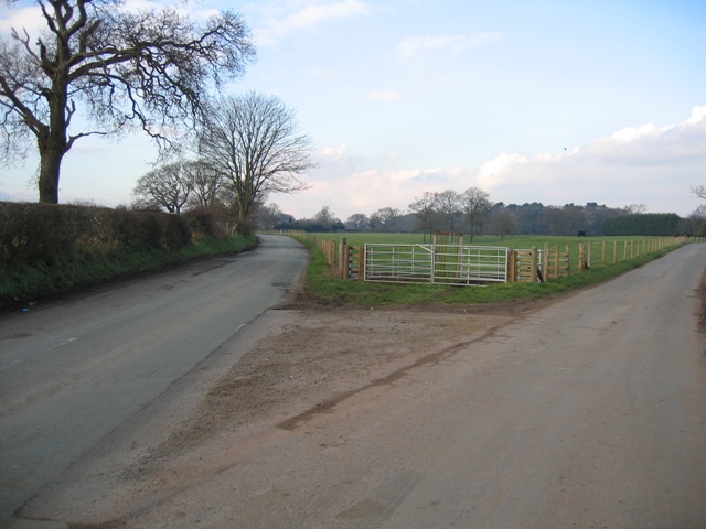
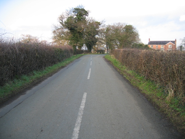
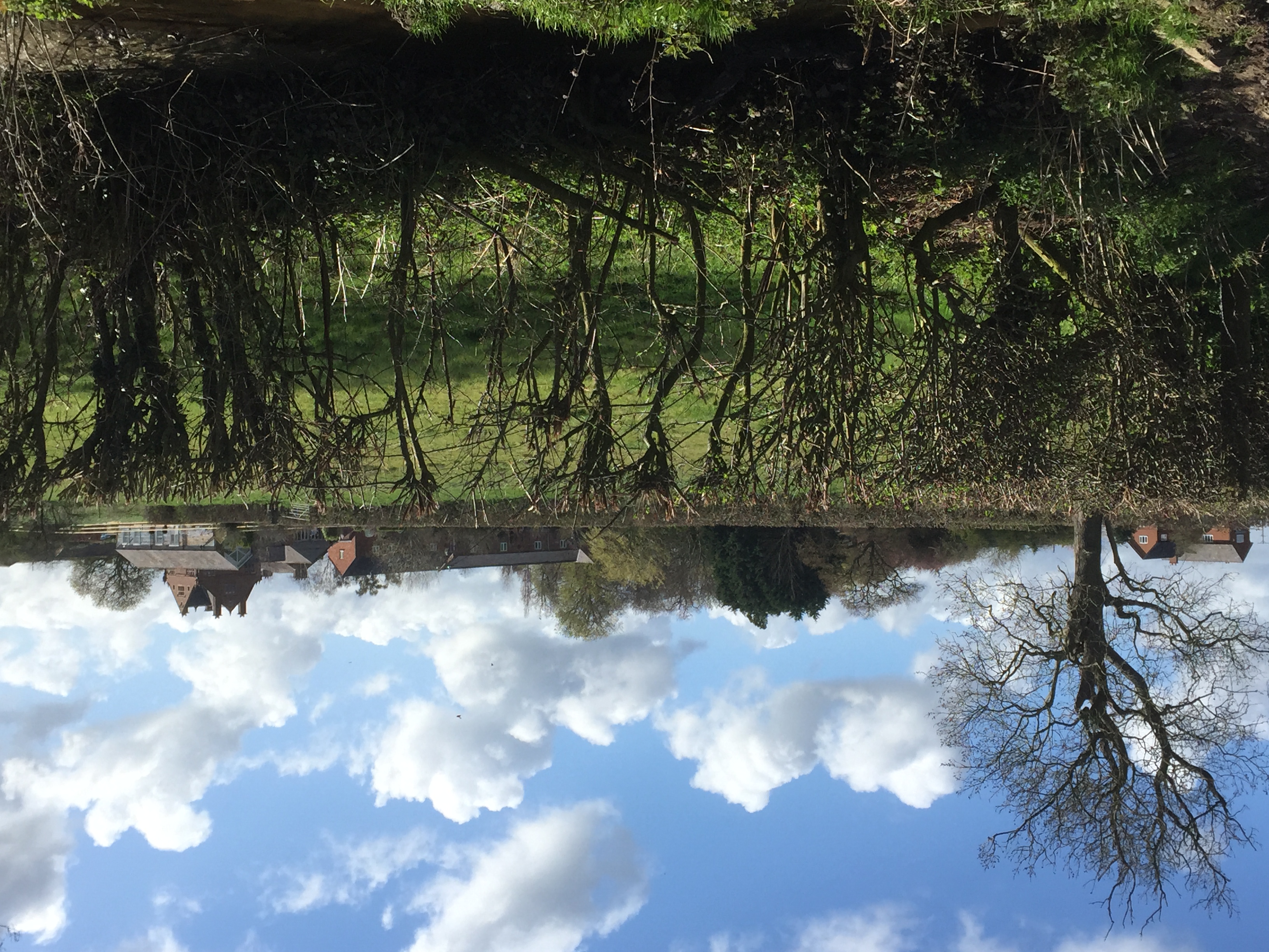
With a population of around 500 residents, Hoofield is a close-knit community that offers a peaceful and idyllic atmosphere. The village is known for its stunning natural beauty, characterized by rolling green fields, tranquil woodland areas, and a network of country lanes perfect for exploring on foot or by bicycle.

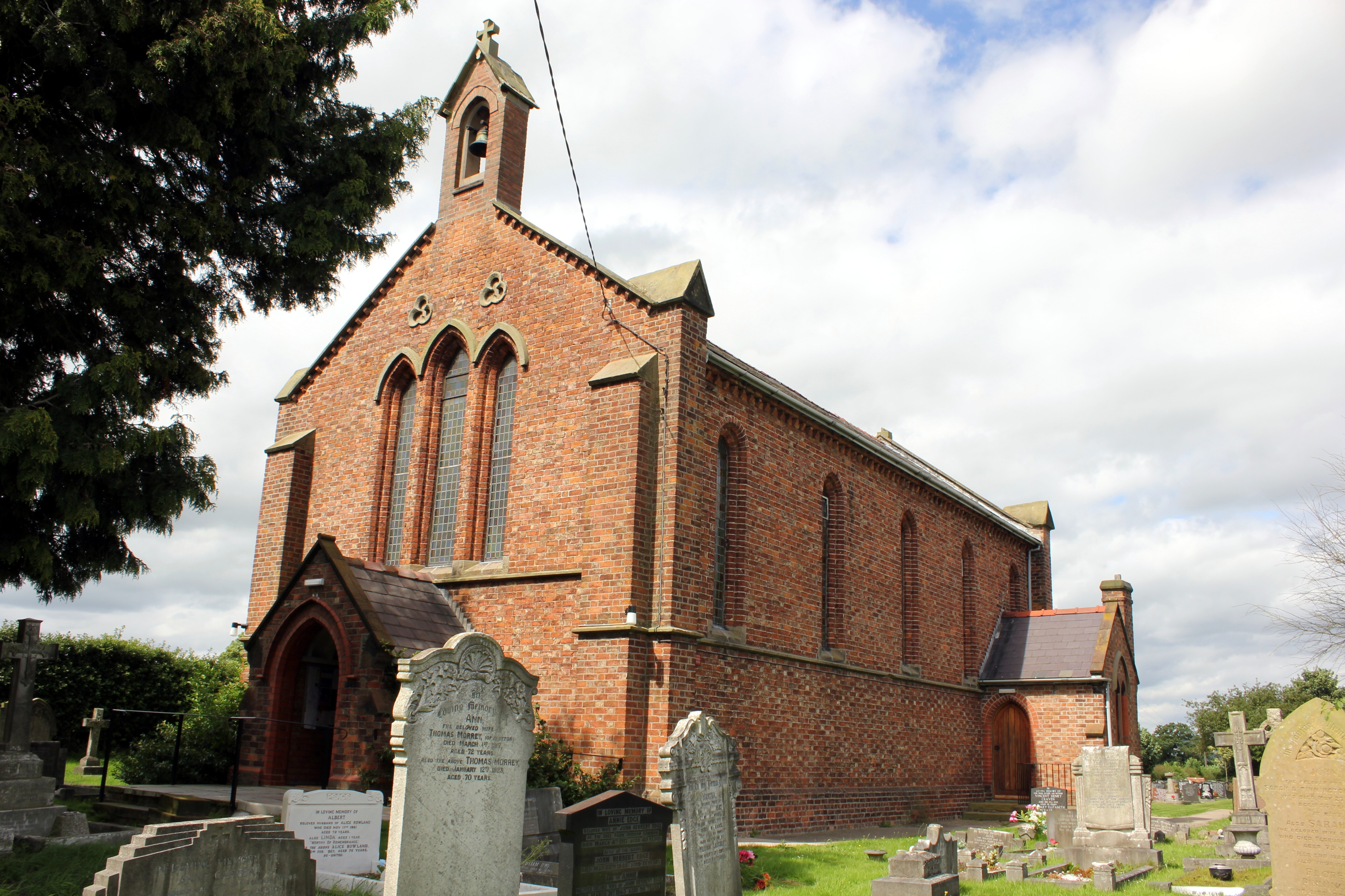
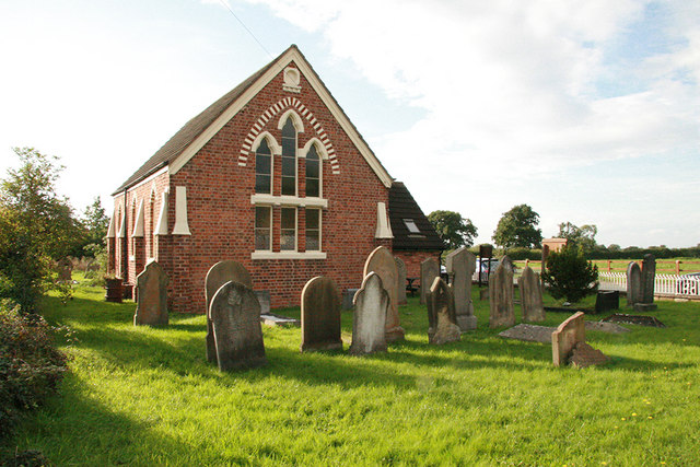
One of the notable landmarks in Hoofield is the village church, St. Mary's Church, which dates back to the 12th century. This historic building is a testament to the village's rich heritage and provides a focal point for the local community. Additionally, Hoofield boasts a small primary school, providing education for the village's younger residents.

While Hoofield may be a small village, it benefits from its proximity to larger towns and cities. The city of Chester is easily accessible, offering a wide range of amenities, including shopping centers, restaurants, and cultural attractions. The village is also well-connected by road, with the A51 providing convenient access to nearby towns and cities.

Overall, Hoofield is a picturesque and welcoming village, offering a peaceful escape from the hustle and bustle of urban life, while still providing easy access to nearby amenities and attractions.

If you have any feedback on the listing, please let us know in the comments section below.

Hoofield Images

Images are sourced within 2km of 53.160878/-2.7267837 or Grid Reference SJ5162. Thanks to Geograph Open Source API. All images are credited.

River Gowey River Gowey seen from Huxley Bridge.
River Gowey
River Gowey seen from Huxley Bridge.
St. Peter's Church, Duddon
View from Leadgate Farm towards Southley Brook. Leadgate Farm (behind the photographer) is in the N of the parish of Huxley - mostly dairy farming, with free-range chickens. The image shows the fields dropping down (bearing 160 deg) towards Southley Brook , beyond which lies the main village. Huxley footpath 10 runs beside the hedge down to the brook.
View from Leadgate Farm towards Southley Brook.
Leadgate Farm (behind the photographer) is in the N of the parish of Huxley - mostly dairy farming, with free-range chickens. The image shows the fields dropping down (bearing 160 deg) towards Southley Brook , beyond which lies the main village. Huxley footpath 10 runs beside the hedge down to the brook.
Brookhouse farm Brookhouse Farm on Clotton Common
Brookhouse farm
Brookhouse Farm on Clotton Common
The Bulls Head The Bulls Head public house in Clotton
The Bulls Head
The Bulls Head public house in Clotton
Fields near Clotton Fields alongside the road outside Clotton, looking South
Fields near Clotton
Fields alongside the road outside Clotton, looking South
Huxley Chapel Huxley Jubilee Methodist Chapel A.D. 1860. A pleasant little primitive methodist chapel in the village of Huxley near Tarporley Cheshire.
Huxley Chapel
Huxley Jubilee Methodist Chapel A.D. 1860. A pleasant little primitive methodist chapel in the village of Huxley near Tarporley Cheshire.
Road Junction near Burton Here Burton Road goes to the left, heading for Duddon Heath, and Burton Lane to the right, heading for Duddon itself. Burton is behind the camera.
Road Junction near Burton
Here Burton Road goes to the left, heading for Duddon Heath, and Burton Lane to the right, heading for Duddon itself. Burton is behind the camera.
Eddisbury Way near Hoofield From Hoofield Lane the Eddisbury Way heads out to Hoofield Covert before turning south west and meeting up with the lane again at Huxley.
Eddisbury Way near Hoofield
From Hoofield Lane the Eddisbury Way heads out to Hoofield Covert before turning south west and meeting up with the lane again at Huxley.
Paddocks near The Smithy, Hoofield Looking north west across farmland just off the road between Burton and Hoofield.
Paddocks near The Smithy, Hoofield
Looking north west across farmland just off the road between Burton and Hoofield.
The Spinney and Crooked Lane Looking along Crooked Lane between Hoofield and Clotton, The Spinney seems to be the property on the right of the lane.  It may have been named after the copse of trees to the left of the road.  A modern road sign in Hoofield seems to name the lane as Corkscrew Lane.
The Spinney and Crooked Lane
Looking along Crooked Lane between Hoofield and Clotton, The Spinney seems to be the property on the right of the lane. It may have been named after the copse of trees to the left of the road. A modern road sign in Hoofield seems to name the lane as Corkscrew Lane.
Small Lake in Hoofield Covert This lake and woodland looks like a great wildlife haven especially with the notice in the tree.  Viewed from the public footpath from Hoofield to Tarporley.
Small Lake in Hoofield Covert
This lake and woodland looks like a great wildlife haven especially with the notice in the tree. Viewed from the public footpath from Hoofield to Tarporley.
Hoofield Covert The woodland projecting into the field disguises the lake that is a feature of this wildlife haven.
Hoofield Covert
The woodland projecting into the field disguises the lake that is a feature of this wildlife haven.
Hoofield  Covert Looking across the lake in Hoofield Covert.  Part of the field, which extends behind the lake, can be seen through the trees.
Hoofield Covert
Looking across the lake in Hoofield Covert. Part of the field, which extends behind the lake, can be seen through the trees.
Marl Pit near Hoofield Covert One of the many marl pits that exist in fields throughout Cheshire farmland.
Marl Pit near Hoofield Covert
One of the many marl pits that exist in fields throughout Cheshire farmland.
Parish Boundary near Hoofield Covert The civil parish boundary follows the hedge bank and ditch here with Clotton Hoofield C.P. on this side of the hedge and bank, and Iddinshall C.P. on the other side.
Parish Boundary near Hoofield Covert
The civil parish boundary follows the hedge bank and ditch here with Clotton Hoofield C.P. on this side of the hedge and bank, and Iddinshall C.P. on the other side.
Footpath and Stile near Hoofield Covert The public footpath follows the hedge line and parish boundary around the corner here.  Across the field, and mostly in the next square, is Hoofield Covert.
Footpath and Stile near Hoofield Covert
The public footpath follows the hedge line and parish boundary around the corner here. Across the field, and mostly in the next square, is Hoofield Covert.
Stile and View towards Beeston Castle. The footpath from Hoofield Covert crosses the stile and then keeps left along the hedge line and parish boundary across the next field.  In the hazy distance, immediately above the stile, is the distinctive profile of Beeston Castle hill.  To the right are the Peckforton Hills.
Stile and View towards Beeston Castle.
The footpath from Hoofield Covert crosses the stile and then keeps left along the hedge line and parish boundary across the next field. In the hazy distance, immediately above the stile, is the distinctive profile of Beeston Castle hill. To the right are the Peckforton Hills.
Show me another place!

Hoofield is located at Grid Ref: SJ5162 (Lat: 53.160878, Lng: -2.7267837)

Unitary Authority: Cheshire West and Chester

Police Authority: Cheshire

What 3 Words

///binds.fruits.majors. Near Tarporley, Cheshire

Nearby Locations

Hoofield

Related Wikis

Clotton Hoofield

Clotton Hoofield is a civil parish in the Borough of Cheshire West and Chester and ceremonial county of Cheshire in England. It has a population of 308...
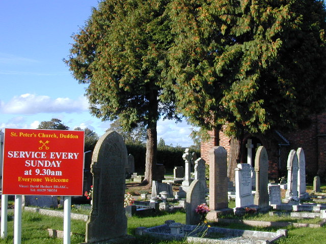
Duddon

Duddon is a village and former civil parish, now in the parish of Duddon and Burton, in the unitary authority area of Cheshire West and Chester and the...

Burton (near Tarporley)

Burton is a small village and former civil parish, now in the parish of Duddon and Burton, in the unitary authority of Cheshire West and Chester and the...

Burton Hall

Burton Hall is in the small village of Burton, 2 miles (3 km) to the southeast of the larger village of Tarvin, Cheshire, England. It is recorded in the...

Huxley, Cheshire

Huxley is a small rural village and former civil parish, now in the parish of Hargrave and Huxley, in the Cheshire West and Chester district, and ceremonial...

Duddon and Burton

Duddon and Burton is a civil parish in the unitary authority of Cheshire West and Chester and the ceremonial county of Cheshire, England. The parish is...
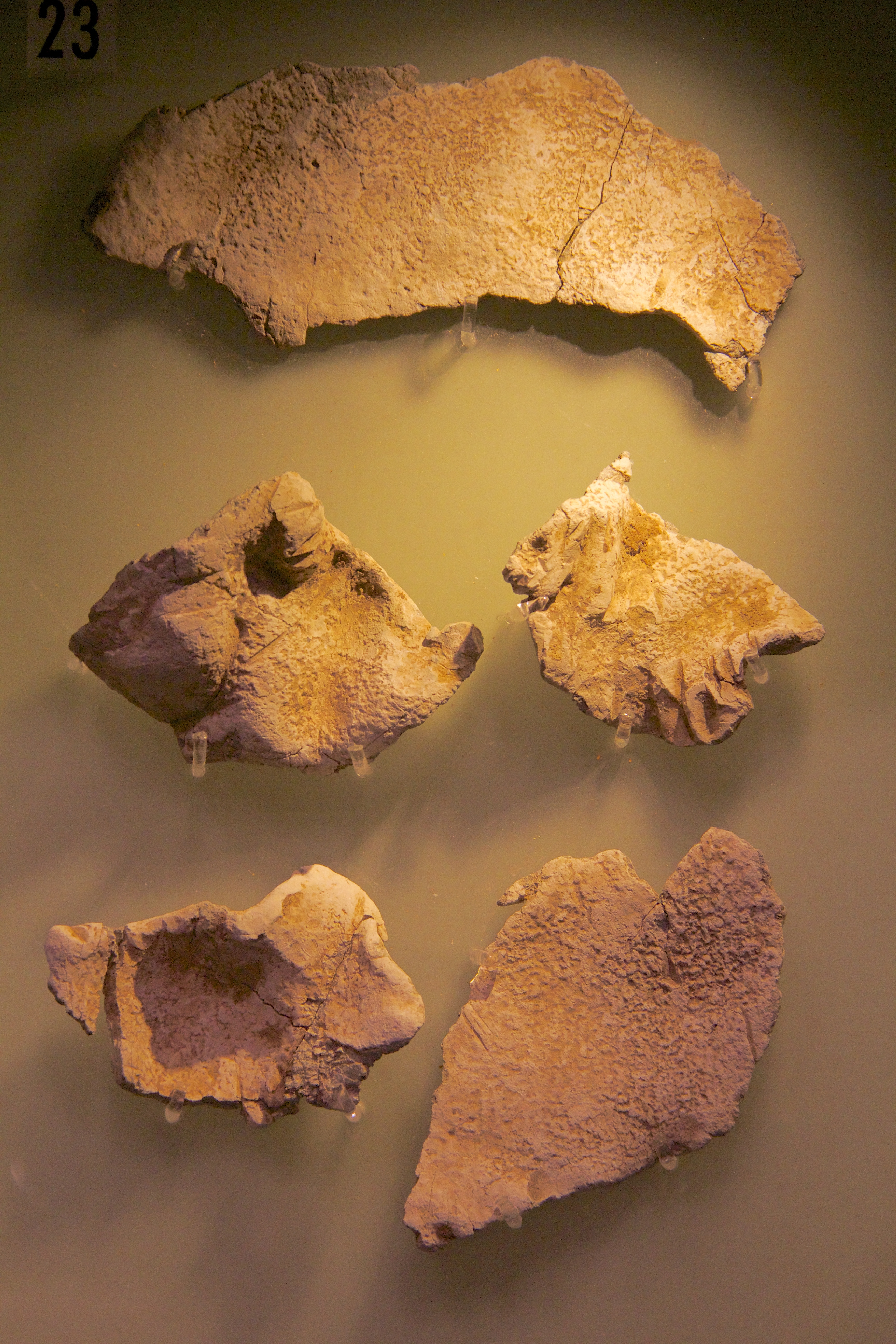
Huxley Hoard

The Huxley Hoard is a hoard of Viking jewellery from around 900-910 found buried near Huxley, Cheshire, England. It consists of 21 silver bracelets, one...
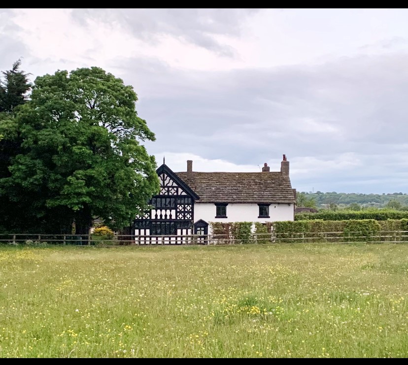
Duddon Old Hall

Duddon Old Hall is a country house in the village of Duddon, Cheshire, England. It dates from the later part of the 16th century, the house was in the...

Nearby Amenities

Located within 500m of 53.160878,-2.7267837
Barrier: stile
Foot: yes
Lat/Long: 53.1641546/-2.7272099
Bus Stop
Hoofield, Hoofield Lane / Hoofield Hall
Bus: yes
Naptan AtcoCode: 0610CH563
Naptan Bearing: NW
Naptan BusStopType: CUS
Naptan CommonName: Hoofield Hall
Naptan Crossing: Crooked Lane
Naptan Indicator: opp
Naptan Landmark: Hoofield Hall
Naptan LocalityName: Hoofield
Naptan NaptanCode: chwtadp
Naptan ShortCommonName: Hoofield Hall
Naptan Street: Hoofield Lane
Naptan Verified: no
Public Transport: platform
Source: naptan_import
Lat/Long: 53.160747/-2.7268723
Brookfield House
Place: locality
Lat/Long: 53.1631021/-2.7250494
Holburn Hill Farm
Place: farm
Lat/Long: 53.1572073/-2.7277076
Hoofield
Place: locality
Lat/Long: 53.1612711/-2.730001
Post Box
Collection Times: Mo-Fr 09:00; Sa 07:00, Su off
Drive Through: no
Operator: Royal Mail
Post Box Type: lamp
Ref: CH3 144D
Lat/Long: 53.1617119/-2.7314926
Information: board
Operator: Clotton Hoofield Parish Council
Tourism: information
Lat/Long: 53.1617157/-2.7315709
The data included in this document is from www.openstreetmap.org. The data is made available under ODbL.

Have you been to Hoofield?

Leave your review of Hoofield below (or comments, questions and feedback).