Hilliclay
Settlement in Caithness
Scotland
Hilliclay

Hilliclay is a small village located in the county of Caithness, in the northernmost part of mainland Scotland. Situated approximately 5 miles northwest of the town of Thurso, Hilliclay is nestled in a rural landscape characterized by rolling hills and picturesque farmland.
The village itself is home to a close-knit community of around 200 residents. It boasts a quaint charm with its traditional stone cottages and well-kept gardens. The local economy largely revolves around agriculture, with many residents involved in farming and livestock rearing.
Hilliclay benefits from its proximity to the stunning Caithness coastline, which is known for its dramatic cliffs and pristine beaches. Outdoor enthusiasts can enjoy a range of activities such as hiking, birdwatching, and fishing in the nearby rivers and lochs.
The village has limited amenities, with a small primary school catering to the local children and a community hall that serves as a gathering place for various events and activities. For further amenities, residents can easily access the nearby town of Thurso, which offers a wider range of services including shops, supermarkets, and secondary schools.
Hilliclay is renowned for its tranquil and idyllic setting, providing a quality of life that appeals to those seeking a peaceful rural lifestyle. Its close proximity to both natural beauty and larger towns ensures a balance between peaceful seclusion and access to essential services.
If you have any feedback on the listing, please let us know in the comments section below.
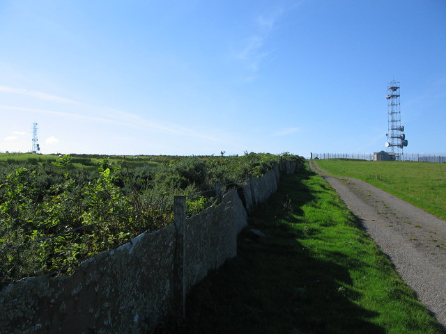
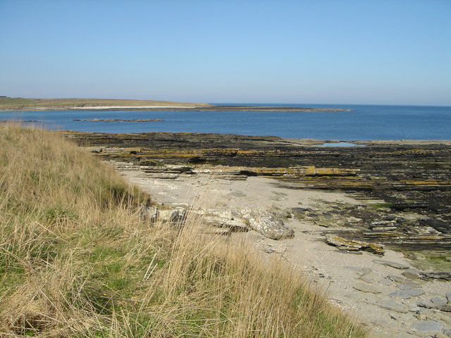
Hilliclay Images
Images are sourced within 2km of 58.560364/-3.4258129 or Grid Reference ND1764. Thanks to Geograph Open Source API. All images are credited.


Hilliclay is located at Grid Ref: ND1764 (Lat: 58.560364, Lng: -3.4258129)
Unitary Authority: Highland
Police Authority: Highlands and Islands
What 3 Words
///tailed.goofy.spice. Near Halkirk, Highland
Nearby Locations
Related Wikis

Olrig
Olrig is a parish in Caithness, Scotland. The main settlement in the parish is Castletown. Prior to the 19th century, the parish was sub-divided into...

Achingills
Achingills (Gaelic: ) is a small hamlet in Halkirk, Caithness within Highland region and is in the Scottish council area of the Highland. Scotland. Achingills...

Sordale
Sordale is a small linear village, located 1.5 miles (2.4 km) northeast in Halkirk, in Caithness, Scottish Highlands and is in the Scottish council area...
Shalmstry
Shalmstry is a small settlement in Caithness, Scotland. It is just under 3 miles (5 kilometres) south of Thurso. It is located off the A9 and is remote...

Weydale
Weydale (Scottish Gaelic: valley of the way) is a remote scattered crofting settlement, lying 3 miles southeast of Thurso, Caithness, Scottish Highlands...
Murkle
Murkle (Murchill) is a small scattered hamlet, made up of East Murkle and West Murkle located one mile (1.6 km) east of Thurso, in Caithness, Scottish...
Haimer
Haimer is a small hamlet in Caithness, Scotland. It is located on a road just off the A836 and consists of several small settlements and farming facilities...
Roadside, Caithness
Roadside is a small village, located at the junction of the A9 trunk road and the B874, 1 mile south of Sordale in Caithness, Scottish Highlands and is...
Nearby Amenities
Located within 500m of 58.560364,-3.4258129Have you been to Hilliclay?
Leave your review of Hilliclay below (or comments, questions and feedback).