Hill Top
Settlement in Kent Tunbridge Wells
England
Hill Top

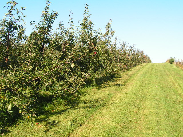
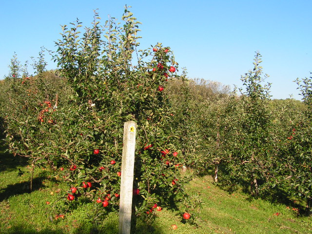
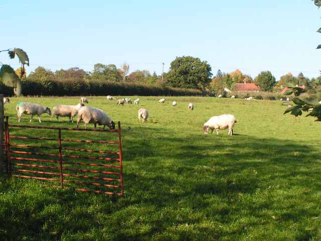
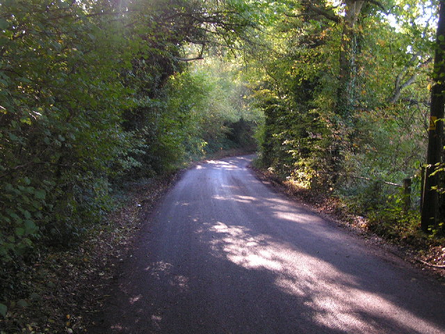
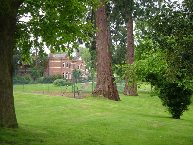
Hill Top is a charming village located in the county of Kent, England. Situated on the southeastern edge of the North Downs, it offers stunning views of the surrounding countryside. The village is nestled in a picturesque setting, surrounded by rolling hills, verdant fields, and lush woodlands.
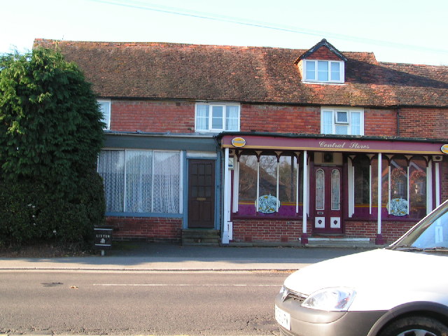
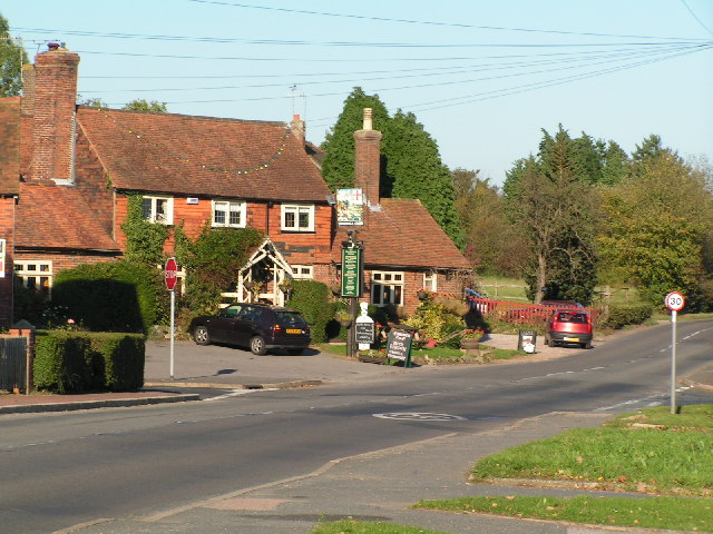
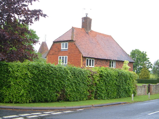
With a population of around 2,000 residents, Hill Top exudes a tranquil and tight-knit community atmosphere. The village is known for its idyllic cottages, many of which date back to the 17th and 18th centuries, adding to its overall charm and character. The architecture reflects the traditional English countryside style, with beautiful thatched roofs, timber-framed structures, and well-maintained gardens.
Hill Top boasts a range of amenities, including a local pub, a village hall, and a primary school. The pub serves as a central hub for social gatherings, where residents can enjoy a pint of locally brewed ale and engage in friendly conversations. The village hall hosts various community events throughout the year, including art exhibitions, music concerts, and seasonal fairs.
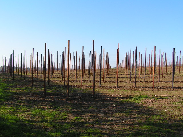
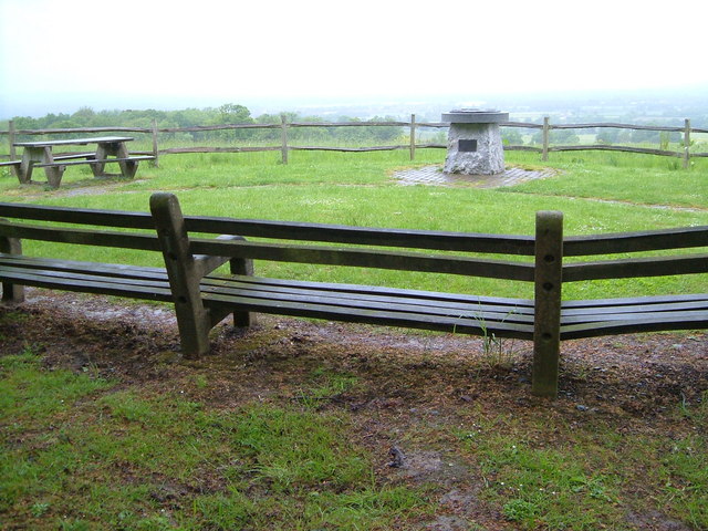
Surrounded by nature, Hill Top offers plenty of opportunities for outdoor activities. The nearby North Downs Way, a long-distance footpath, provides stunning hiking and cycling routes, allowing visitors to explore the breathtaking landscapes and enjoy the fresh countryside air. Additionally, the village is a short drive away from several nature reserves, including Blean Woods and Wye National Nature Reserve, which are havens for wildlife enthusiasts and birdwatchers.
Hill Top truly embodies the quintessential English village, with its picturesque setting, historic architecture, and strong sense of community. Visitors will find themselves immersed in the tranquility and beauty of the countryside, making it a perfect destination for those seeking a peaceful getaway.
If you have any feedback on the listing, please let us know in the comments section below.
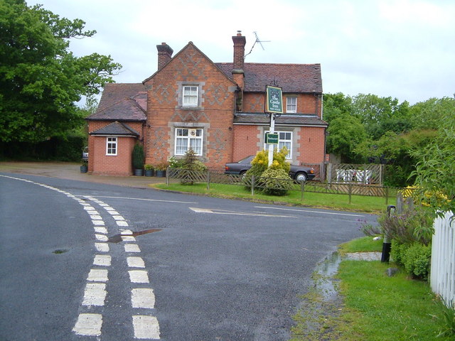
Hill Top Images
Images are sourced within 2km of 51.156488/0.40061641 or Grid Reference TQ6742. Thanks to Geograph Open Source API. All images are credited.


Hill Top is located at Grid Ref: TQ6742 (Lat: 51.156488, Lng: 0.40061641)
Administrative County: Kent
District: Tunbridge Wells
Police Authority: Kent
What 3 Words
///prosper.forge.surfed. Near Brenchley, Kent
Nearby Locations
Related Wikis

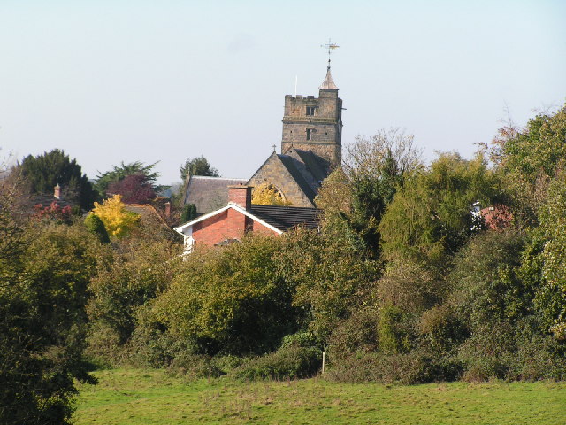
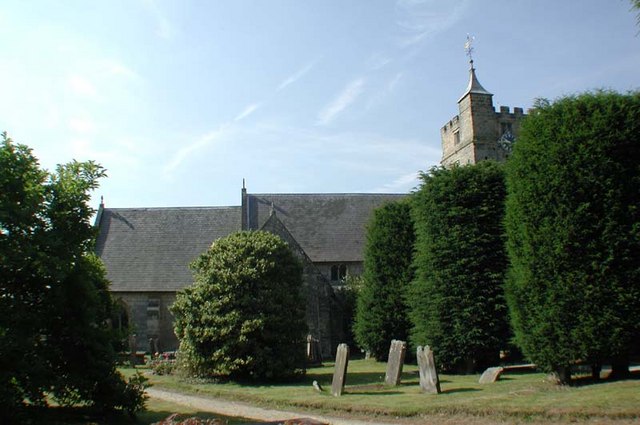
All Saints Church, Brenchley
All Saints Church is a parish church in Brenchley, Kent, England. It is a Grade I listed building.It is dedicated to All Saints. == Building == A Chapel...

Brenchley
Brenchley is a village in the civil parish of Brenchley and Matfield, in the borough of Tunbridge Wells, Kent, England. All Saints Church is located in...

Mascalls Academy
Mascalls Academy (formerly Mascalls School) is a co-educational secondary school and a sixth form with academy status located in Paddock Wood, Kent....

Paddock Wood
Paddock Wood is a town and civil parish in the borough of Tunbridge Wells in Kent, England, about 8 miles (13 km) southwest of Maidstone. At the 2001 Census...

Matfield House
Matfield House is a Grade I listed Georgian house in the village of Matfield, Kent, England.The house was built in 1728 in the Queen Anne style for Thomas...
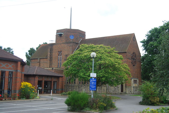
St Andrew's Church, Paddock Wood
St Andrew's Church is a joint Anglican and Methodist church in Paddock Wood, Kent, England. == Building == The building is built in a post-war brick style...

Foal Hurst Wood
Foal Hurst Wood is a 12.9-hectare (32-acre) Local Nature Reserve on the south-western outskirts of Paddock Wood in Kent. It is owned by Tunbridge Wells...

Matfield
Matfield is a small village, part of the civil parish of Brenchley and Matfield, in the Tunbridge Wells borough of Kent, England. Matfield was awarded...
Nearby Amenities
Located within 500m of 51.156488,0.40061641Have you been to Hill Top?
Leave your review of Hill Top below (or comments, questions and feedback).