Higher Truscott
Settlement in Cornwall
England
Higher Truscott
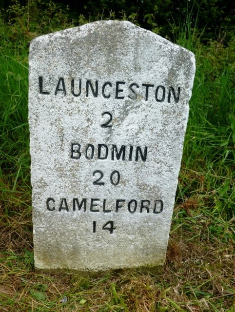
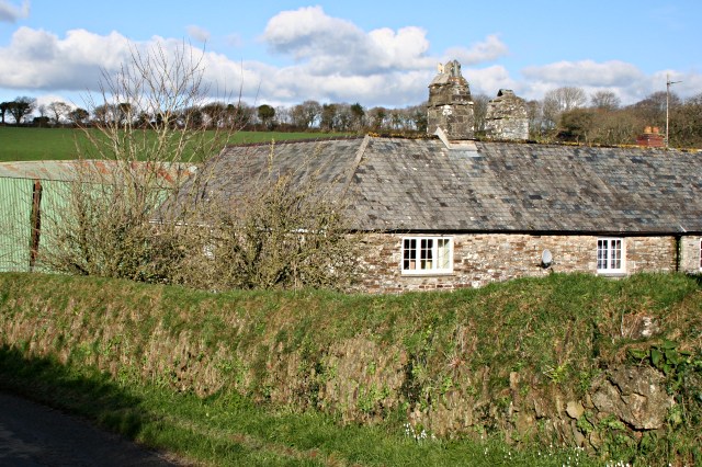
Higher Truscott is a small village located in the county of Cornwall, in southwest England. Situated approximately 8 miles southwest of the town of Launceston, it is nestled in the beautiful rural landscape of the Cornish countryside. The village is part of the civil parish of North Petherwin and falls within the administrative district of Cornwall Council.
Higher Truscott is characterized by its peaceful and idyllic setting, with rolling green hills, open fields, and charming cottages dotting the landscape. The village is surrounded by farmland, which contributes to its predominantly agricultural economy. The area is known for its dairy farms and the production of local cheeses.
The village itself is small, with a tight-knit community of residents. It lacks commercial facilities, such as shops or pubs, which adds to its quiet and remote atmosphere. However, the nearby town of Launceston offers a range of amenities, including shops, restaurants, and leisure facilities, which are easily accessible for Higher Truscott's residents.
In terms of transportation, Higher Truscott is mainly accessed by the road network, with the A30 providing convenient links to nearby towns and cities. The village is served by local bus routes, which connect it to neighboring communities.
Overall, Higher Truscott is a picturesque and tranquil village in the heart of the Cornish countryside, offering residents a peaceful rural lifestyle amidst stunning natural surroundings.
If you have any feedback on the listing, please let us know in the comments section below.
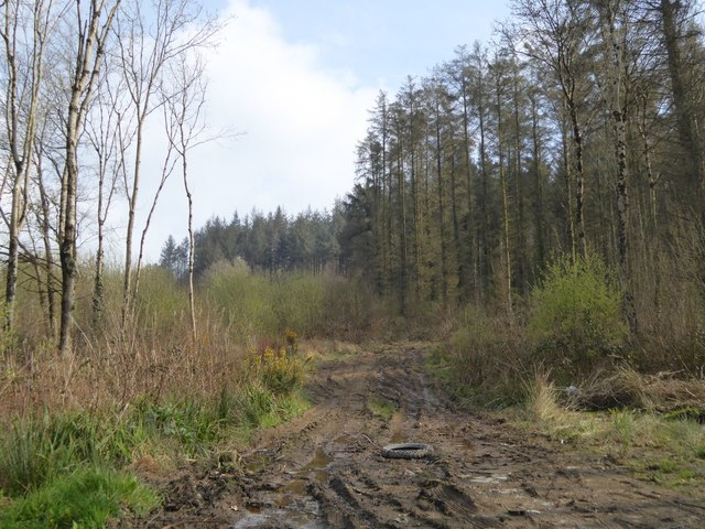
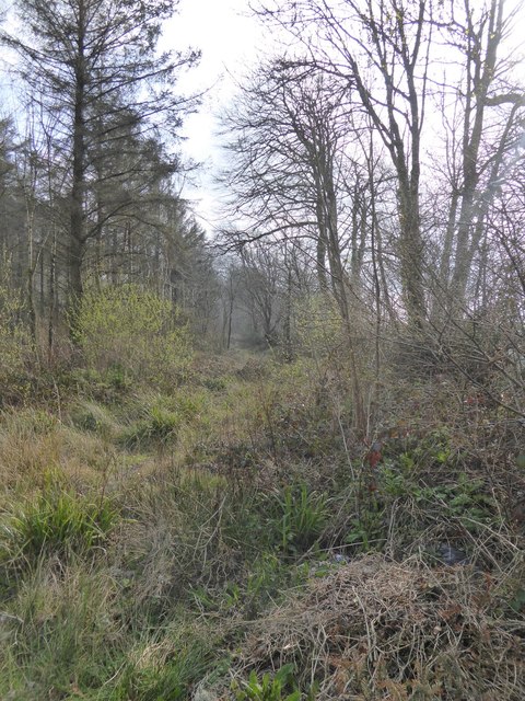
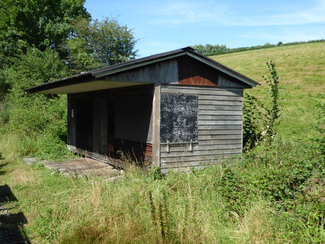
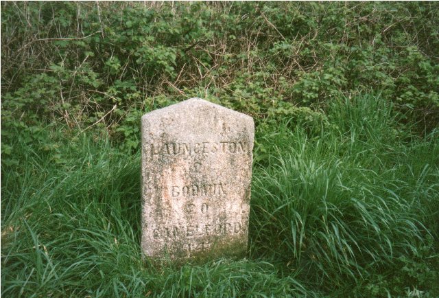
Higher Truscott Images
Images are sourced within 2km of 50.646387/-4.4043306 or Grid Reference SX3085. Thanks to Geograph Open Source API. All images are credited.


Higher Truscott is located at Grid Ref: SX3085 (Lat: 50.646387, Lng: -4.4043306)
Unitary Authority: Cornwall
Police Authority: Devon and Cornwall
What 3 Words
///homecare.jazz.catch. Near Launceston, Cornwall
Nearby Locations
Related Wikis
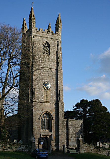
Truscott, Cornwall
Truscott is a hamlet in Cornwall, England, United Kingdom. It is in the parish of St Stephens by Launceston Rural and is about halfway between St Stephens...

Launceston Rural District
Launceston Rural District was a local government division of Cornwall between 1894 and 1974. Established under the Local Government Act 1894, the rural...

Langore
Langore (Cornish: Nansgover) is a village in Cornwall, England. It is in the parish of St Stephens by Launceston Rural (where the population of the 2011...
Broadwoodwidger Rural District
Broadwoodwidger was a rural district in the administrative county of Devon from 1894 to 1966, northeast of Launceston. The district consisted of part...
St Thomas the Apostle Rural
St Thomas the Apostle Rural, also known as St Thomas-by-Launceston (Cornish: Sen Tommos Lannstefan) is a civil parish in east Cornwall, England, United...
St Stephens by Launceston Rural
St Stephens by Launceston Rural is a civil parish in the east of Cornwall, England, United Kingdom. It is in the Registration district of Launceston. The...
Yeolmbridge
Yeolmbridge is a village in Cornwall (but within the boundaries of the historic county of Devon), two and a half miles north of Launceston. == Yeolm... ==
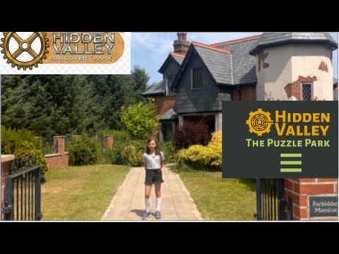
Hidden Valley Discovery Park
Hidden Valley Discovery Park is a family-run visitor attraction near the town of Launceston, Cornwall, England, UK. Founded in 1994 by Pete Jones, as a...
Related Videos

Eynsford Circular: Exploring the Charming Kent Countryside | UK Hiking Trails 🇬🇧
Embark on a delightful journey through the picturesque Kent countryside with the Eynsford Circular walk. This scenic trail takes ...
Hidden Valley
What an Amazing Maze.
Hidden Valley Cornwall
Hi everyone! Today we visit Hidden Valley in Cornwall. Filled with puzzles, we attempt to solve them all 9 times in the Forbidden ...
Nearby Amenities
Located within 500m of 50.646387,-4.4043306Have you been to Higher Truscott?
Leave your review of Higher Truscott below (or comments, questions and feedback).