Higher Halstock Leigh

Settlement in Dorset

England

Higher Halstock Leigh

The Monarch's Way on a track to Wyke Farm
The Monarch's Way on a track to Wyke Farm Credit: Tim Heaton

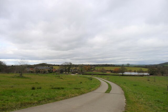
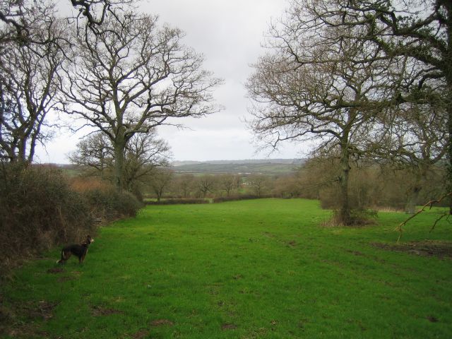
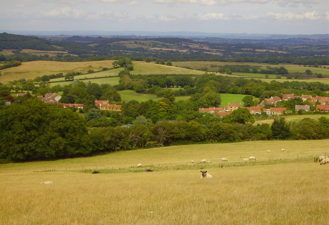
Higher Halstock Leigh is a small village located in the county of Dorset, England. Situated in the picturesque countryside, it is part of the civil parish of Halstock and lies approximately 7 miles southeast of Yeovil and 9 miles northwest of Dorchester. The village is nestled in a valley, surrounded by rolling hills and lush green fields, offering breathtaking views of the surrounding countryside.

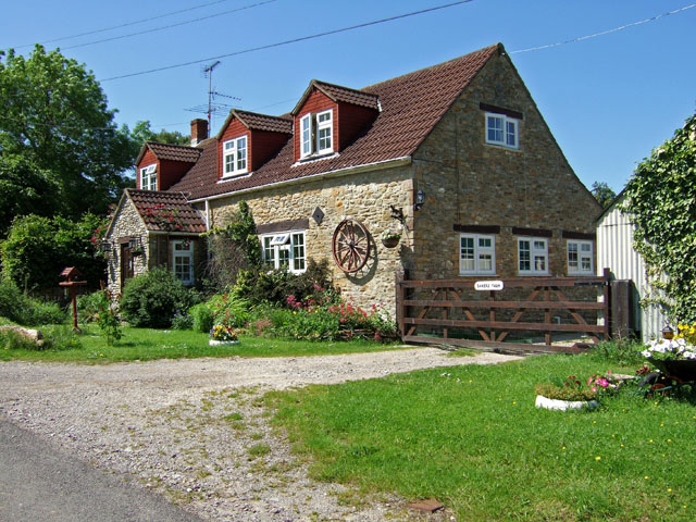
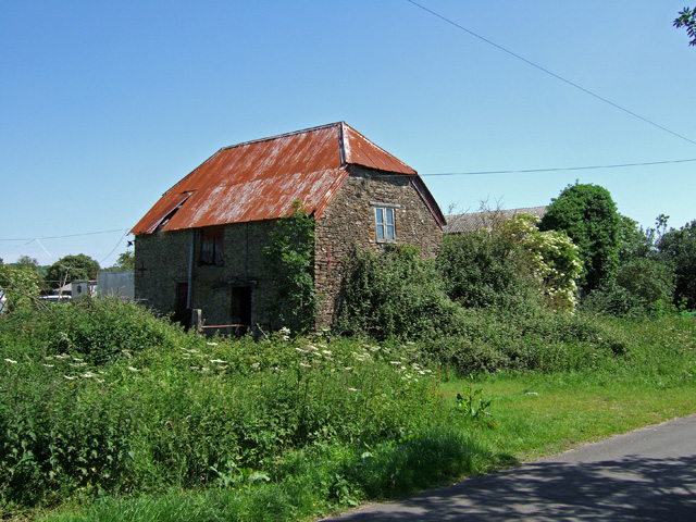
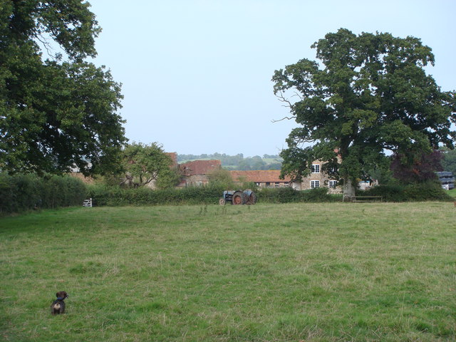
Higher Halstock Leigh is known for its charming and traditional architecture, with many of its buildings dating back to the 18th and 19th centuries. The village consists of a cluster of stone cottages, some of which have been converted into holiday homes, adding to the village's appeal as a tourist destination.

The village is home to a close-knit community, with a small population of residents. While there are no major amenities within Higher Halstock Leigh itself, the nearby village of Halstock provides essential services such as a primary school, a village shop, and a pub. The village is also well-connected to neighboring towns and cities, with good road links to Yeovil, Dorchester, and other nearby settlements.

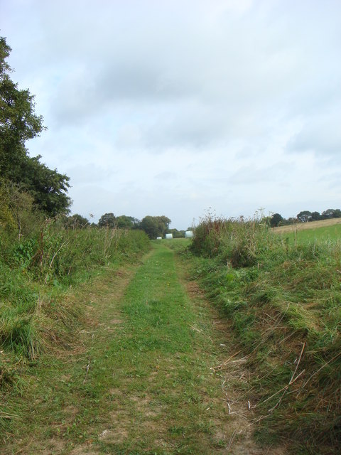
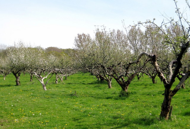
Higher Halstock Leigh offers an ideal location for those seeking a peaceful and rural lifestyle. The village's idyllic setting provides ample opportunities for outdoor activities, such as walking, cycling, and exploring the nearby nature reserves and country parks. With its tranquil atmosphere and stunning natural beauty, Higher Halstock Leigh is a hidden gem in the Dorset countryside.

If you have any feedback on the listing, please let us know in the comments section below.

Higher Halstock Leigh Images

Images are sourced within 2km of 50.863558/-2.6949634 or Grid Reference ST5107. Thanks to Geograph Open Source API. All images are credited.

The Monarch's Way on a track to Wyke Farm
Corscombe Village View taken from country lane leading to Corscombe and Halstock
Corscombe Village
View taken from country lane leading to Corscombe and Halstock
Soggy Fields Marsh Farm.
Soggy Fields
Marsh Farm.
Fields On the bridleway between Hardington Marsh and Higher Halstock Leigh
Fields
On the bridleway between Hardington Marsh and Higher Halstock Leigh
Barns Barns (not shown on map) near Pear Tree House.
Barns
Barns (not shown on map) near Pear Tree House.
Baker's Farm - Higher Halstock Leigh
Dilapidated Barn at Overland Farm - Lower Halstock Leigh
Farmland near Ocean Hill
Pond at Home Farm, Weston, Dorset This small farm pond lies at the side of the road which runs through the upper part of Home Farm at Weston near Corscombe Dorset
Pond at Home Farm, Weston, Dorset
This small farm pond lies at the side of the road which runs through the upper part of Home Farm at Weston near Corscombe Dorset
Home Farm Dairy,  near Corscombe Home Farm Dairy is on the tiny road that leads from Corscombe up to Weston through Home Farm which is in the adjacent grid square
Home Farm Dairy, near Corscombe
Home Farm Dairy is on the tiny road that leads from Corscombe up to Weston through Home Farm which is in the adjacent grid square
Ryewater Farm near Corscombe Ryewater farm sits on a bend in the very quiet back road near Corscombe
Ryewater Farm near Corscombe
Ryewater farm sits on a bend in the very quiet back road near Corscombe
Industrial unit near Halstock A small industrial unit occupied by a company manufacturing wooden cabinetry on the road between Winyards Gap and Halstock
Industrial unit near Halstock
A small industrial unit occupied by a company manufacturing wooden cabinetry on the road between Winyards Gap and Halstock
Forestry track in Chedington Woods Forestry track in Chedington Woods close to Wyke Farm near Winyards Gap
Forestry track in Chedington Woods
Forestry track in Chedington Woods close to Wyke Farm near Winyards Gap
Large concrete tank Located at the north-west corner of Wyke Farm this is probably an old slurry tank
Large concrete tank
Located at the north-west corner of Wyke Farm this is probably an old slurry tank
The lane to Higher Halstock Leigh From Winyards Gap the lane winds through to Crook Hill and on to Higher Halstock Leigh.
The lane to Higher Halstock Leigh
From Winyards Gap the lane winds through to Crook Hill and on to Higher Halstock Leigh.
Woodland clearance - Higher Halstock Leigh The conifers have been felled and timber removed producing a large clearing on the edge of the lane from Winyards Gap.
Woodland clearance - Higher Halstock Leigh
The conifers have been felled and timber removed producing a large clearing on the edge of the lane from Winyards Gap.
Signpost near Higher Halstock Leigh Turn left into Rye Water Lane for Corscombe and right to Winyards Gap and the A356.
Signpost near Higher Halstock Leigh
Turn left into Rye Water Lane for Corscombe and right to Winyards Gap and the A356.
End of the trail - Pen Wood Pen Wood, open to the public during the summer months, has several trails slowly climbing the hillside amidst conifers and hardwoods.  This is the end of one of them.
End of the trail - Pen Wood
Pen Wood, open to the public during the summer months, has several trails slowly climbing the hillside amidst conifers and hardwoods. This is the end of one of them.
Show me another place!

Higher Halstock Leigh is located at Grid Ref: ST5107 (Lat: 50.863558, Lng: -2.6949634)

Unitary Authority: Dorset

Police Authority: Dorset

What 3 Words

///acrobatic.darkest.smoothly. Near West Coker, Somerset

Related Wikis

Whitevine Meadows

Whitevine Meadows (grid reference ST505085) is a 13.0 hectare (32.0 acre) biological Site of Special Scientific Interest east of North and South Perrott...

Corscombe

Corscombe is a village and civil parish in the English county of Dorset, in the Dorset Council administrative area. The parish includes the small settlements...

Grove Farm, Somerset

Grove Farm (grid reference ST513096) is a 36.5 hectare (90.2 acre) biological Site of Special Scientific Interest in Somerset, notified in 1989. This site...

Weston Hill

Weston Hill is a hill, 250 metres (820 ft) high, on the A 356, 1 kilometre west of Corscombe in the county of Dorset in southern England. It is located...

Halstock

Halstock is a village and civil parish in the county of Dorset in southern England, situated approximately five miles (8.0 km) south of Yeovil in Somerset...

Chedington

Chedington is a small village and civil parish in west Dorset, England, situated near the A356 road 4 miles (6.4 km) southeast of Crewkerne in Somerset...

Adam's Green

Adam's Green is a hamlet near the village of Halstock in Dorset, England. == External links == Media related to Adam's Green at Wikimedia Commons

Church of St Roch, Pendomer

The Anglican Church of St Roch at Pendomer in Closworth, Somerset, England was built in the 14th century. It is a Grade II* listed building. == History... ==

Nearby Amenities

Located within 500m of 50.863558,-2.6949634
Higher Halstock Leigh
Is In: Dorset, England, UK
Place: hamlet
Source: npe
Lat/Long: 50.866317/-2.6973735
Post Box
Collection Times: Mo-Fr 09:00; Sa 07:00
Post Box Type: lamp
Ref: BA22 268
Royal Cypher: EIIR
Royal Cypher Wikidata: Q33102113
Lat/Long: 50.8656649/-2.689345
The data included in this document is from www.openstreetmap.org. The data is made available under ODbL.

Have you been to Higher Halstock Leigh?

Leave your review of Higher Halstock Leigh below (or comments, questions and feedback).