Higher Coombe

Settlement in Wiltshire

England

Higher Coombe

The Rising Sun
The Rising Sun Credit: Roger Cornfoot

Higher Coombe is a small rural hamlet located in the county of Wiltshire, England. Situated approximately 5 miles to the southeast of the town of Devizes, Higher Coombe is nestled within the picturesque countryside of the Pewsey Vale.

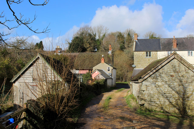
The hamlet is characterized by its charming collection of traditional stone cottages, many of which date back several centuries. The peaceful and idyllic setting of Higher Coombe offers residents and visitors alike a tranquil escape from the hustle and bustle of modern life.

Despite its small size, Higher Coombe benefits from a strong sense of community. The residents often come together for various social events and activities, fostering a close-knit and friendly atmosphere. The hamlet is also home to a quaint village hall, which serves as a hub for local gatherings and celebrations.

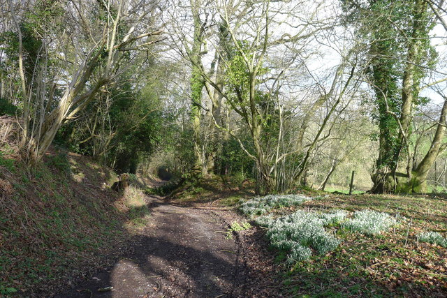
Surrounded by rolling hills and verdant meadows, Higher Coombe offers ample opportunities for outdoor pursuits and exploration. The surrounding countryside is crisscrossed with a network of footpaths and bridleways, making it an ideal location for hikers, cyclists, and horse riders. The nearby Savernake Forest provides additional recreational opportunities with its extensive woodland trails.

With its rural charm and natural beauty, Higher Coombe is an attractive destination for those seeking a peaceful and picturesque retreat in the heart of Wiltshire.

If you have any feedback on the listing, please let us know in the comments section below.

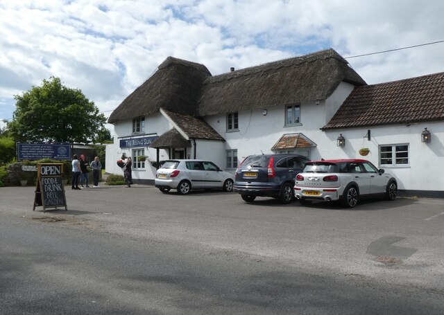
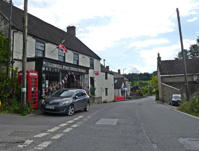
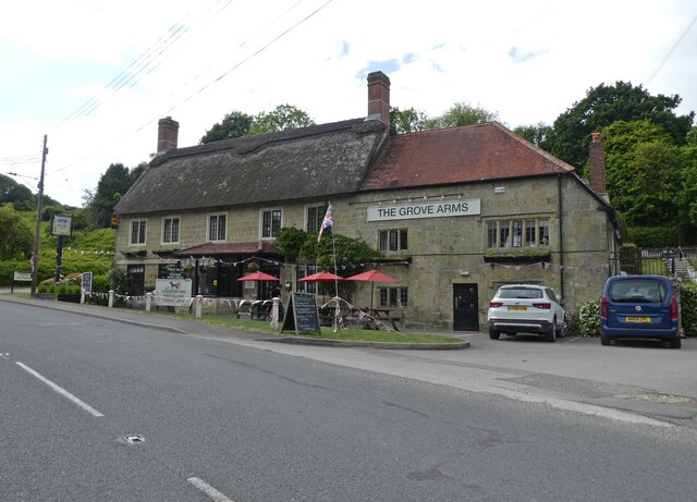
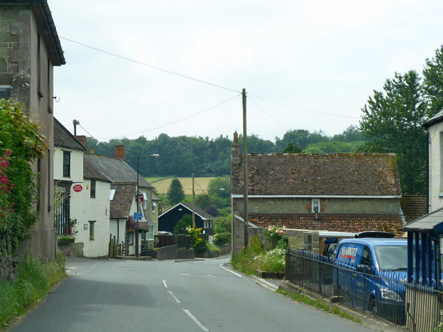
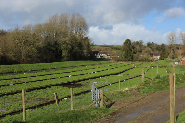
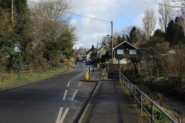
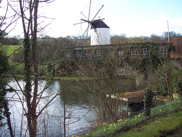
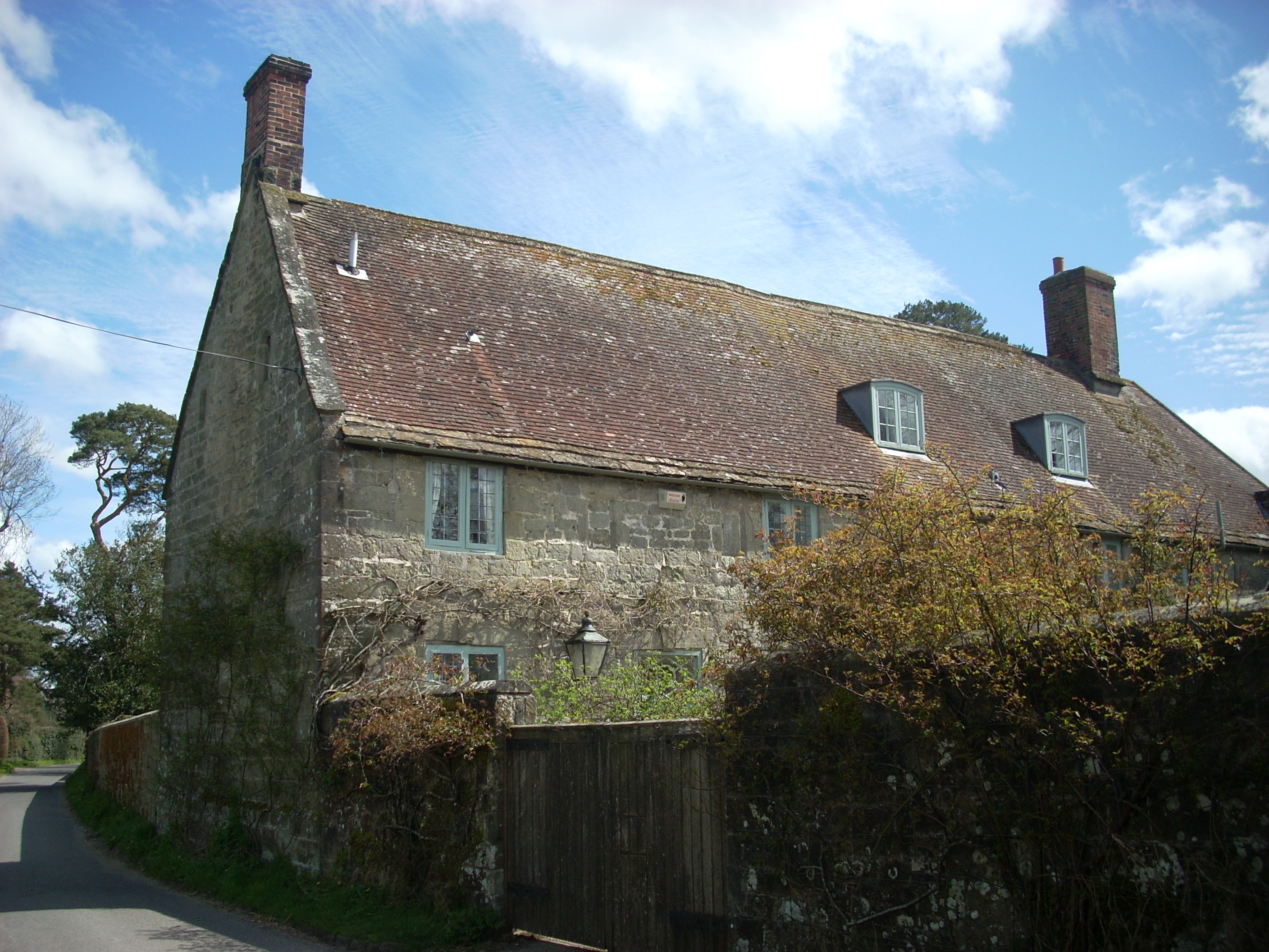
Higher Coombe Images

Images are sourced within 2km of 51.00375/-2.1591288 or Grid Reference ST8822. Thanks to Geograph Open Source API. All images are credited.

The Rising Sun
The Rising Sun
Direction Sign, Shaftesbury In the garden of the Half Moon, Salisbury Road.  The inscription "Aptenodytes forsteri" (see <span class="nowrap"><a title="https://en.wikipedia.org/wiki/Emperor_penguin)" rel="nofollow ugc noopener" href="https://en.wikipedia.org/wiki/Emperor_penguin)">Link</a><img style="margin-left:2px;" alt="External link" title="External link - shift click to open in new window" src="https://s1.geograph.org.uk/img/external.png" width="10" height="10"/></span> is pointing to Emperor Penguins in Antarctica. The "Rude Giant" is <a href="https://www.geograph.org.uk/photo/5439068">ST6601 : The Cerne Giant</a> (see Wiki <span class="nowrap"><a title="https://en.wikipedia.org/wiki/Cerne_Abbas_Giant)" rel="nofollow ugc noopener" href="https://en.wikipedia.org/wiki/Cerne_Abbas_Giant)">Link</a><img style="margin-left:2px;" alt="External link" title="External link - shift click to open in new window" src="https://s1.geograph.org.uk/img/external.png" width="10" height="10"/></span> . The Hall & Woodhouse Brewery is 12.2 miles due South.
Direction Sign, Shaftesbury
In the garden of the Half Moon, Salisbury Road. The inscription "Aptenodytes forsteri" (see LinkExternal link is pointing to Emperor Penguins in Antarctica. The "Rude Giant" is ST6601 : The Cerne Giant (see Wiki LinkExternal link . The Hall & Woodhouse Brewery is 12.2 miles due South.
Ludwell Post Office Stores
The Grove Arms, Ludwell
A30 heading west Through Ludwell.
A30 heading west
Through Ludwell.
Watercress Beds at Ludwell Passed by on the Wessex Ridgeway long distance footpath as it approaches the village of Ludwell from the south
Watercress Beds at Ludwell
Passed by on the Wessex Ridgeway long distance footpath as it approaches the village of Ludwell from the south
Wessex Ridgeway entering Ludwell The long distance footpath entering the village from the south, squeezing between the houses to reach the A30.
Wessex Ridgeway entering Ludwell
The long distance footpath entering the village from the south, squeezing between the houses to reach the A30.
A30 Crossing Ludwell Bridge The main road crossing the River Nadder in Ludwell
A30 Crossing Ludwell Bridge
The main road crossing the River Nadder in Ludwell
Wessex Ridgeway descending towards Mullins Bridge The long distance footpath descends through a green tunnel between Ludwell and Mullins Bridge
Wessex Ridgeway descending towards Mullins Bridge
The long distance footpath descends through a green tunnel between Ludwell and Mullins Bridge
Sun Salads Ltd. watercress farm, Ludwell Watercress likes clean, flowing, 'hard' water. Here taking advantage of spring water emerging from the chalk.
Sun Salads Ltd. watercress farm, Ludwell
Watercress likes clean, flowing, 'hard' water. Here taking advantage of spring water emerging from the chalk.
Snowdrops on Back Horse Hill Lane A couple of weeks ahead of the snowdrops in the north of England
Snowdrops on Back Horse Hill Lane
A couple of weeks ahead of the snowdrops in the north of England
Peckons Hill, Ludwell
The Grove Arms, Ludwell
Gardens by Ludwell Bridge Crossing the river Nadder, the original name of the adder snake.
Gardens by Ludwell Bridge
Crossing the river Nadder, the original name of the adder snake.
Pub sign  The Grove Arms This has seen better times.
Pub sign The Grove Arms
This has seen better times.
Christy's Lane, Shaftesbury
Coppice Street, Shaftesbury
A350, Christy's Lane, Shaftesbury
Show me another place!

Higher Coombe is located at Grid Ref: ST8822 (Lat: 51.00375, Lng: -2.1591288)

Unitary Authority: Wiltshire

Police Authority: Wiltshire

What 3 Words

///umbrellas.fingernails.string. Near Shaftesbury, Dorset

Related Wikis

St Mary's School, Shaftesbury

St Mary's School was a private Roman Catholic day and boarding school for girls, founded in 1945 in a rural setting near Shaftesbury, England. The school...

Higher Wincombe

Higher Wincombe is a farm and small hamlet in the parish of Donhead St Mary, Wiltshire, England. It lies at the head of the Nadder Valley, just beyond...

Ludwell, Wiltshire

Ludwell is a small village in south Wiltshire, England, approximately 3 miles (5 km) east of the Dorset town of Shaftesbury. It lies within the Cranborne...

Shaftesbury School

Shaftesbury School is a coeducational secondary day and boarding school located in Shaftesbury in the English county of Dorset.Previously a voluntary controlled...

Shaftesbury F.C.

Shaftesbury Football Club are a football club based in Shaftesbury, Dorset, England. The club is affiliated to the Dorset County Football Association and...

The Breeze (North Dorset)

Greatest Hits Radio Dorset (North Dorset) is an Independent Local Radio station serving North Dorset. == History == Launched on 25 June 1995 as Gold Radio...

Cann, Dorset

Cann is a village and civil parish in the county of Dorset in southern England. It is situated on the A350 road in the North Dorset administrative district...

Shute House, Donhead St Mary

Shute House, Donhead St Mary, Wiltshire, England is a former rectory, now a private home, notable for its gardens designed by Geoffrey Jellicoe. About...

Nearby Amenities

Located within 500m of 51.00375,-2.1591288
Post Box
Lat/Long: 51.0055675/-2.1593331
Higher Combe
Place: hamlet
Lat/Long: 51.0039055/-2.1599555
Barrier: stile
Lat/Long: 51.0045277/-2.1594761
Barrier: stile
Lat/Long: 51.0053677/-2.1592371
Barrier: stile
Lat/Long: 51.0054323/-2.158507
Barrier: stile
Lat/Long: 51.0061059/-2.1564644
Barrier: stile
Lat/Long: 51.0064722/-2.1557498
Barrier: lift_gate
Lat/Long: 51.0035847/-2.1643644
Barrier: stile
Lat/Long: 51.0036998/-2.162974
Barrier: stile
Lat/Long: 51.0063872/-2.1623779
Barrier: stile
Lat/Long: 51.0035787/-2.161246
Material: wood
Poles: bipole
Power: pole
Source: bing
Lat/Long: 51.0012389/-2.1644532
Material: wood
Power: pole
Source: bing
Lat/Long: 51.0013672/-2.1630316
Material: wood
Power: pole
Source: bing
Lat/Long: 51.0015495/-2.1610522
Material: wood
Poles: bipole
Power: pole
Source: bing
Lat/Long: 51.0017858/-2.1584156
Material: wood
Poles: bipole
Power: pole
Source: bing
Transformer: distribution
Lat/Long: 51.0021267/-2.1560552
Material: wood
Power: pole
Source: bing
Lat/Long: 51.0023816/-2.1543359
Material: wood
Power: pole
Source: bing
Lat/Long: 51.002439/-2.1592309
Material: wood
Power: pole
Source: bing
Lat/Long: 51.0026196/-2.1526488
The data included in this document is from www.openstreetmap.org. The data is made available under ODbL.

Have you been to Higher Coombe?

Leave your review of Higher Coombe below (or comments, questions and feedback).