Hetton le Hill

Settlement in Durham

England

Hetton le Hill

Snippers Gate Farm, Salters Lane Snippers Gate Farm photographed on 14th February 1974 by Fred Soakell.
South Hetton Colliery pit head can be seen in the background on the left.
The road in the foreground is Salters Lane which leads to Haswell village
Snippers Gate Farm, Salters Lane Credit: Fred Soakell

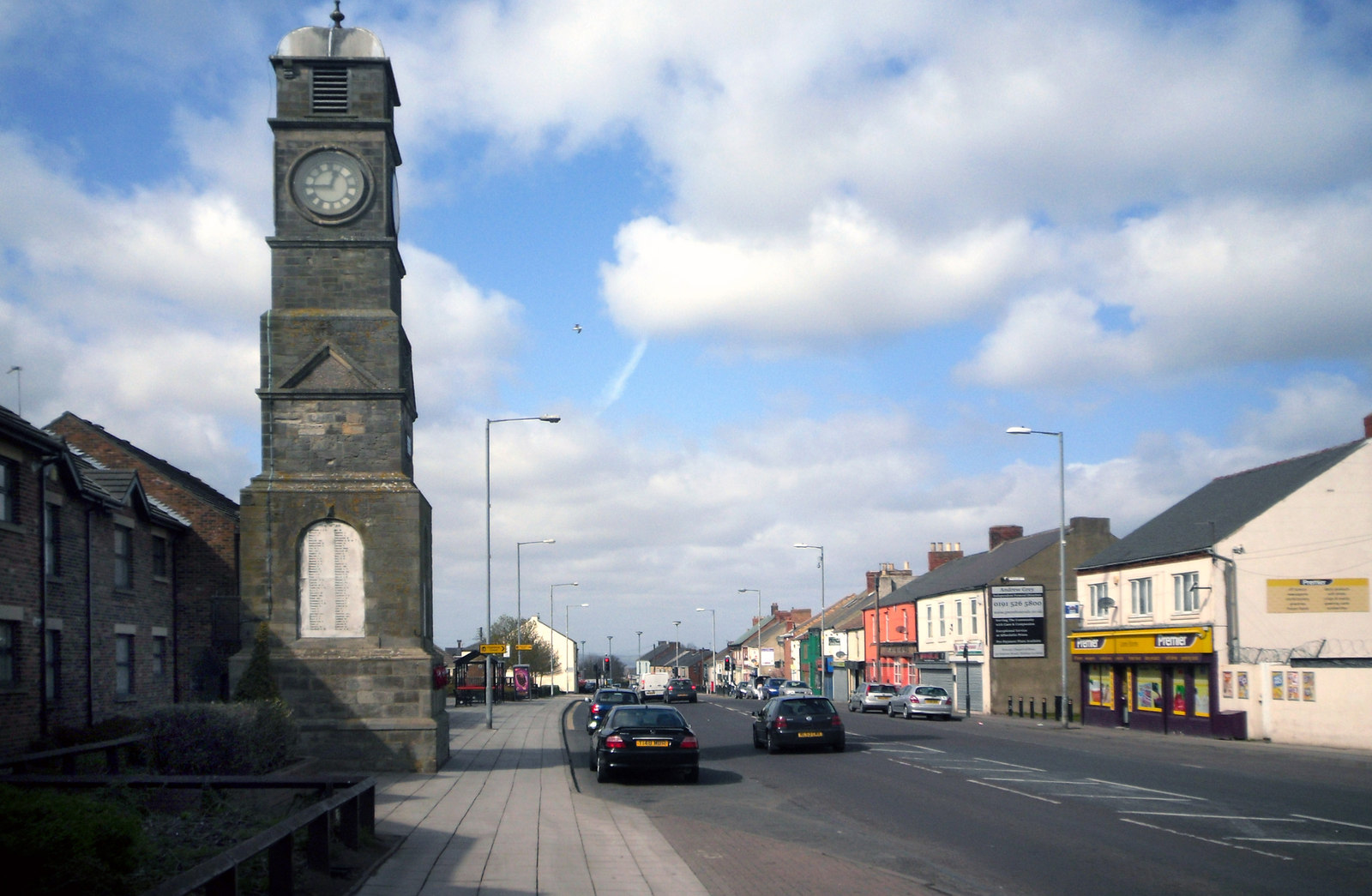
Hetton-le-Hill is a small village located in the district of Durham, in the North East of England. Situated approximately 8 miles to the east of Durham City, Hetton-le-Hill falls within the boundaries of the Hetton-le-Hole civil parish.

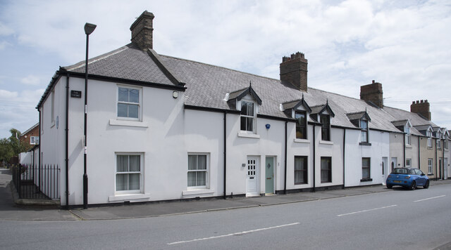
The village is positioned on a hill, offering panoramic views of the surrounding countryside. It is primarily residential, with a population of around 5,000 residents. The architecture is a mix of traditional stone-built houses, some dating back to the 19th century, and more modern properties. The village also has a number of amenities, including a primary school, a post office, a library, and a few local shops.

Hetton-le-Hill has a rich mining history, with coal mining being a significant industry in the area during the 19th and 20th centuries. The village was once home to several collieries, which provided employment for many of its residents. However, the last mine closed in 1959, and the village has since diversified its economy.

The village enjoys a close-knit community spirit, with various social and recreational activities available. There are several sports clubs, including cricket and football teams, providing opportunities for residents to engage in outdoor pursuits. The village also hosts an annual carnival, which attracts visitors from nearby areas.

Overall, Hetton-le-Hill is a quaint village nestled in the Durham countryside, offering a peaceful and picturesque setting for its residents while providing easy access to nearby urban areas.

If you have any feedback on the listing, please let us know in the comments section below.

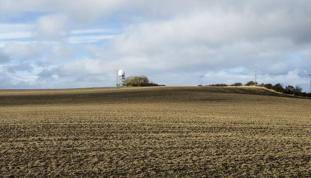
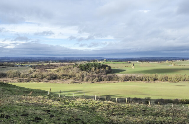
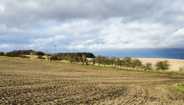
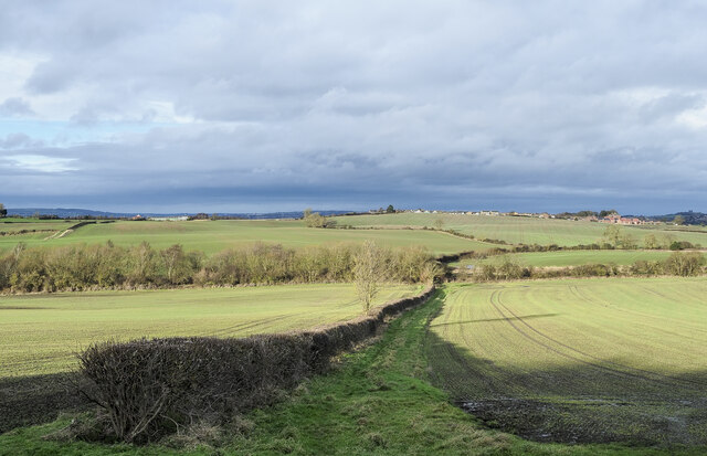
Hetton le Hill Images

Images are sourced within 2km of 54.802156/-1.4519048 or Grid Reference NZ3545. Thanks to Geograph Open Source API. All images are credited.

Snippers Gate Farm, Salters Lane Snippers Gate Farm photographed on 14th February 1974 by Fred Soakell.
South Hetton Colliery pit head can be seen in the background on the left.
The road in the foreground is Salters Lane which leads to Haswell village
Snippers Gate Farm, Salters Lane
Snippers Gate Farm photographed on 14th February 1974 by Fred Soakell. South Hetton Colliery pit head can be seen in the background on the left. The road in the foreground is Salters Lane which leads to Haswell village
Red House The large, apparently Victorian house lies to the east of buildings at Elmore Grange but despite its size is virtually unmarked on OS maps at the 1:25 000 scale.
Red House
The large, apparently Victorian house lies to the east of buildings at Elmore Grange but despite its size is virtually unmarked on OS maps at the 1:25 000 scale.
Path through Elemore Wood A path heading south-west through the woodland, close to Coldwell Burn which is out of the image to the left.
Path through Elemore Wood
A path heading south-west through the woodland, close to Coldwell Burn which is out of the image to the left.
Elmside Villa across leafy crop Elmside Villa is part of the settlement at Hetton-le-Hill; it's seen in the image across rutted mud and a leafy crop from a farm road the south.
Elmside Villa across leafy crop
Elmside Villa is part of the settlement at Hetton-le-Hill; it's seen in the image across rutted mud and a leafy crop from a farm road the south.
Earthen field near to High Moorsley Perhaps there are tinges of green on the brown earth, the suggestion of an emerging crop.
The 'golf ball' on a low tower is something of a weather station where there's also a small reservoir.
Earthen field near to High Moorsley
Perhaps there are tinges of green on the brown earth, the suggestion of an emerging crop. The 'golf ball' on a low tower is something of a weather station where there's also a small reservoir.
Roughly grassed slope The slope descends from the minor road passing through High Moorsley.
Roughly grassed slope
The slope descends from the minor road passing through High Moorsley.
Channelling of Coldwell Burn through woodland The burn flowing near to west through Elemore Wood, Brown's Plantation or between the two, seen from a bridge carrying a path.
Channelling of Coldwell Burn through woodland
The burn flowing near to west through Elemore Wood, Brown's Plantation or between the two, seen from a bridge carrying a path.
Walking party heading for High Moorsley High Moorsley is a small settlement south-west of Hetton-le-Hole. Close to it there's a local high point, with a trig point.
Walking party heading for High Moorsley
High Moorsley is a small settlement south-west of Hetton-le-Hole. Close to it there's a local high point, with a trig point.
Hedge separating two fields Two fields with emerging crops and a hedge between them;  there's also a path running alongside the hedge.
East Rainton must be the village just showing at the horizon.
Hedge separating two fields
Two fields with emerging crops and a hedge between them; there's also a path running alongside the hedge. East Rainton must be the village just showing at the horizon.
Walking party following path between fields Members of Crook and Weardale Ramblers following a public footpath between Hetton-le-Hill and High Moorsley.
Walking party following path between fields
Members of Crook and Weardale Ramblers following a public footpath between Hetton-le-Hill and High Moorsley.
W2W Cycle route near to East Rainton The W2W Cycle Way is a long distance cycle path, W2W meaning Walney to Wear. The route in the image is a bridleway and is just beyond the end of a short, named County Durham path, The Pittington Way.
W2W Cycle route near to East Rainton
The W2W Cycle Way is a long distance cycle path, W2W meaning Walney to Wear. The route in the image is a bridleway and is just beyond the end of a short, named County Durham path, The Pittington Way.
Meeting of bridleways near Low Moorsley The bridleway ahead is part of the national cycleway, the W2W, Walney to Wear route. To the left there's another bridleway, a rough road, going to East Rainton. The route to the right is a public footpath to Low Moorsley.
Meeting of bridleways near Low Moorsley
The bridleway ahead is part of the national cycleway, the W2W, Walney to Wear route. To the left there's another bridleway, a rough road, going to East Rainton. The route to the right is a public footpath to Low Moorsley.
Bridleway descending through avenue of trees The route is seen descending from a minor road, Elemore Lane. Out of sight it veers to the left ending up at and passing Elemore Hall School, which is a partly residential secondary school operated by County Durham for pupils who have not met with success in mainstream education.
Bridleway descending through avenue of trees
The route is seen descending from a minor road, Elemore Lane. Out of sight it veers to the left ending up at and passing Elemore Hall School, which is a partly residential secondary school operated by County Durham for pupils who have not met with success in mainstream education.
Slope below Elemore Lane Farmland with woodland below Elemore Lane, north-east of High Pittington.
Slope below Elemore Lane
Farmland with woodland below Elemore Lane, north-east of High Pittington.
Old Boundary Marker in Elemore Wood Parish Boundary Marker on the northwest side of a track through Elemore Wood. Formerly on the boundary of Pittington and Haswell parishes, now Pittington and South Hetton parishes. 

Milestone Society National ID: DU_PITSHA01pb
Old Boundary Marker in Elemore Wood
Parish Boundary Marker on the northwest side of a track through Elemore Wood. Formerly on the boundary of Pittington and Haswell parishes, now Pittington and South Hetton parishes. Milestone Society National ID: DU_PITSHA01pb
Old Boundary Marker in East Plantation Parish Boundary Marker in East Plantation southwest of footpath and southeast of field boundary. Formerly on the boundary of Pittington and Haswell parishes, now Pittington and South Hetton parishes. Inscribed P and H on opposite faces.

Milestone Society National ID: DU_PITSHA02pb
Old Boundary Marker in East Plantation
Parish Boundary Marker in East Plantation southwest of footpath and southeast of field boundary. Formerly on the boundary of Pittington and Haswell parishes, now Pittington and South Hetton parishes. Inscribed P and H on opposite faces. Milestone Society National ID: DU_PITSHA02pb
Houses on Lyons Avenue Lyons Avenue is in the Lyons district of Hetton-Le-Hole; the nameplate on the corner house has the name 'The Lyons'. There's a blue plaque erected by Tyne & Wear County Council, (disbanded in 1986), on that corner house relating to George Stephenson and his brother Robert, who lived in a cottage in the row.
Houses on Lyons Avenue
Lyons Avenue is in the Lyons district of Hetton-Le-Hole; the nameplate on the corner house has the name 'The Lyons'. There's a blue plaque erected by Tyne & Wear County Council, (disbanded in 1986), on that corner house relating to George Stephenson and his brother Robert, who lived in a cottage in the row.
Roughly vegetated ground The small enclosure is on the south side of the B1285 at the edge of Hetton-Le-Hole. The building could well be in use as a stable - there are horses in the area.
Roughly vegetated ground
The small enclosure is on the south side of the B1285 at the edge of Hetton-Le-Hole. The building could well be in use as a stable - there are horses in the area.
Show me another place!

Hetton le Hill is located at Grid Ref: NZ3545 (Lat: 54.802156, Lng: -1.4519048)

Unitary Authority: Sunderland

Police Authority: Northumbria

What 3 Words

///throwaway.weeks.released. Near Hetton-Le-Hole, Tyne & Wear

Related Wikis

Elemore Hall

Elemore Hall is a mid-18th-century country house, now in use as a residential special school, near Pittington, County Durham, England. It is a Grade I...

Easington Lane

Easington Lane is a village in the City of Sunderland metropolitan borough in the county of Tyne and Wear, North East England. Historically part of County...

High Moorsley

High Moorsley is a small village 1 mile (1.6 km) south-west of Hetton-le-Hole in the City of Sunderland, north east England. It is the site of the first...

Pig Hill

Pig Hill is a Site of Special Scientific Interest in the County Durham district of north-east County Durham, England, situated 1 km south of the village...

Nearby Amenities

Located within 500m of 54.802156,-1.4519048
Bus Stop
Hetton Le Hill Farm
Naptan AtcoCode: 13005361B
Naptan Bearing: NE
Naptan CommonName: Hetton Le Hill Farm
Naptan Indicator: north east bound
Naptan Landmark: Landmark not known
Naptan NaptanCode: durdjwad
Naptan Notes: opp Bramble House- Elemore Lane- Hetton le Hill
Naptan Street: Elemore Lane
Naptan Verified: no
Source: naptan_import
Lat/Long: 54.8005533/-1.4562979
Bus Stop
Hetton Le Hill Farm
Naptan AtcoCode: 13005361F
Naptan Bearing: SW
Naptan CommonName: Hetton Le Hill Farm
Naptan Indicator: south west bound
Naptan Landmark: Landmark not known
Naptan NaptanCode: durdjwag
Naptan Notes: Bramble House- Elemore Lane- Hetton le Hill
Naptan Street: Elemore Lane
Naptan Verified: no
Source: naptan_import
Lat/Long: 54.8005258/-1.4561739
Bus Stop
LORNE STREET-W/B
Local Ref: W
Naptan AtcoCode: 410000032069
Naptan Bearing: W
Naptan CommonName: LORNE STREET-W/B
Naptan Indicator: W
Naptan Landmark: OPPOSITE NO.22 LORNE STREET
Naptan NaptanCode: twrgjtat
Naptan Street: LORNE STREET
Naptan Verified: no
Source: naptan_import
Lat/Long: 54.8037228/-1.4457388
Bus Stop
Elemore Lane-Bramble House
Bus: yes
Local Ref: S
Naptan AtcoCode: 410000032070
Naptan Bearing: SW
Naptan Indicator: SW-Bound
Naptan Landmark: Outside Bramble House
Naptan NaptanCode: twrgjtaw
Naptan Street: Elemore Lane
Naptan Verified: no
Public Transport: platform
Source: naptan_import
Lat/Long: 54.8009554/-1.4557947
Bus Stop
Elemore Lane-Bramble House
Bus: yes
Local Ref: N
Naptan AtcoCode: 410000032071
Naptan Bearing: NE
Naptan Indicator: NE-Bound
Naptan Landmark: Opposite Bramble House
Naptan NaptanCode: twrgjtda
Naptan Street: Elemore Lane
Naptan Verified: no
Public Transport: platform
Source: naptan_import
Lat/Long: 54.8010274/-1.4558093
Bus Stop
ELEMORE LANE-JAMES TERRACE-NE/B
Local Ref: NE
Naptan AtcoCode: 410000032072
Naptan Bearing: NE
Naptan CommonName: ELEMORE LANE-JAMES TERRACE-NE/B
Naptan Indicator: NE
Naptan Landmark: OPPOSITE JAMES TRRACE
Naptan NaptanCode: twrgjtdg
Naptan Street: ELEMORE LANE
Naptan Verified: no
Source: naptan_import
Lat/Long: 54.8040525/-1.445112
Power: pole
Lat/Long: 54.7994148/-1.4473318
Power: pole
Lat/Long: 54.7995011/-1.4490058
Power: pole
Lat/Long: 54.7995764/-1.4507147
Power: pole
Lat/Long: 54.7996541/-1.452371
Power: pole
Lat/Long: 54.7997153/-1.4541172
Power: pole
Lat/Long: 54.7998245/-1.4557384
Power: pole
Lat/Long: 54.7999135/-1.4574068
Power: pole
Lat/Long: 54.801651/-1.45955
Power: pole
Lat/Long: 54.8034646/-1.4528024
Power: pole
Lat/Long: 54.8030565/-1.4542803
Power: pole
Lat/Long: 54.8027179/-1.4555946
Power: pole
Lat/Long: 54.8023747/-1.4568499
Power: pole
Lat/Long: 54.8020392/-1.4581454
Power: pole
Lat/Long: 54.8055826/-1.4479798
Power: pole
Lat/Long: 54.8015808/-1.4546498
Power: pole
Lat/Long: 54.8021312/-1.455089
Grit Bin
Lat/Long: 54.8013658/-1.4516247
Addr Housename: Hilltop
Addr Street: Hetton Le Hill
Lat/Long: 54.8009837/-1.4520034
Addr Housename: Primrose Cottage
Addr Street: Hetton Le Hill
Lat/Long: 54.8010146/-1.4532188
Addr Housename: Daisy Cottage
Addr Street: Hetton Le Hill
Lat/Long: 54.800957/-1.4536138
Addr Housename: Rose Tree House
Addr Street: Hetton Le Hill
Lat/Long: 54.8002597/-1.45388
Addr Housename: Hen House
Addr Street: Hetton Le Hill
Lat/Long: 54.8005797/-1.4539377
Addr Housename: Canny Barn
Addr Street: Hetton Le Hill
Lat/Long: 54.8007649/-1.454004
Addr Housename: Kemps Cottage
Addr Street: Hetton Le Hill
Lat/Long: 54.8007316/-1.454114
Addr Housename: The Paddock
Addr Street: Hetton Le Hill
Lat/Long: 54.8008766/-1.4543863
Addr Housename: Ned's Cottage
Addr Street: Hetton Le Hill
Lat/Long: 54.8006938/-1.454456
Addr Housename: The Hemmel
Addr Street: Hetton Le Hill
Lat/Long: 54.8008001/-1.4547759
Addr Housename: Bramble House
Addr Street: Hetton Le Hill
Lat/Long: 54.8008221/-1.4551185
Addr Housename: The Farmhouse
Addr Street: Hetton Le Hill
Lat/Long: 54.8003973/-1.4544573
Barrier: entrance
Lat/Long: 54.8005652/-1.4555059
Barrier: swing_gate
Foot: yes
Lat/Long: 54.8009614/-1.4559395
Hetton le Hill
Place: hamlet
Source Name: OS OpenData StreetView
Lat/Long: 54.8007374/-1.4535213
Elemore Colliery
Historic: mine
Resource: coal
Website: http://www.dmm.org.uk/colliery/e006.htm
Lat/Long: 54.8041232/-1.4478028
The data included in this document is from www.openstreetmap.org. The data is made available under ODbL.

Have you been to Hetton le Hill?

Leave your review of Hetton le Hill below (or comments, questions and feedback).