Henllan

Settlement in Montgomeryshire

Wales

Henllan

Old Milestone by the B4389, east of Tanhouse Bridge, Llangyniew Parish Turner Arrow Casting by the B4389, in parish of Llangyniew (Powys District), South of Bryn Erica, in bank.

Surveyed

Milestone Society National ID: MOT_LCLS02
Old Milestone by the B4389, east of Tanhouse Bridge, Llangyniew Parish Credit: Milestone Society

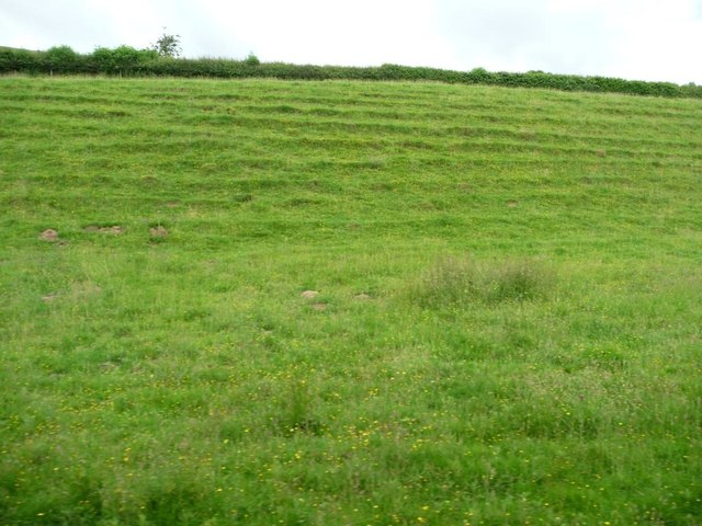
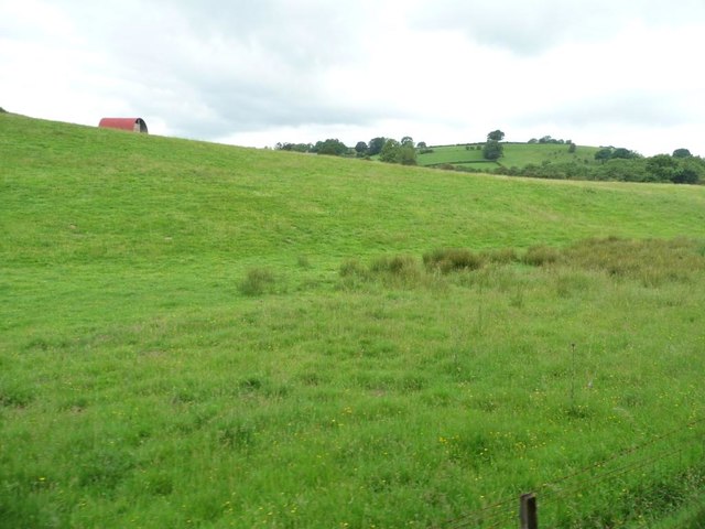
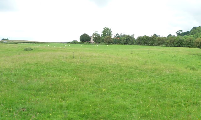
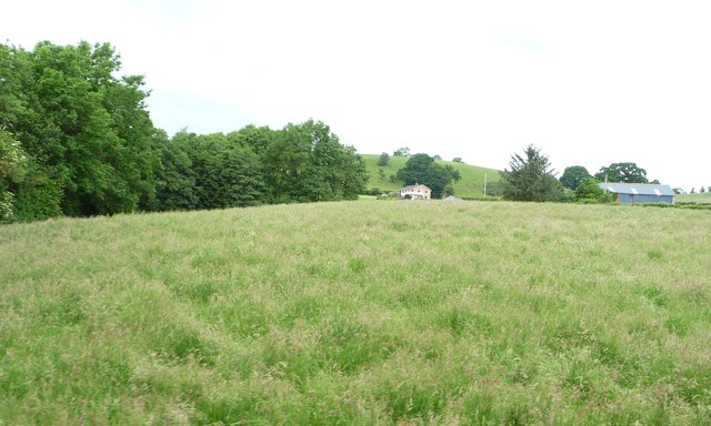
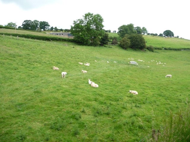
Henllan is a small village located in the county of Montgomeryshire, Wales. Situated approximately 3 miles southwest of Llanfair Caereinion, Henllan is nestled in the scenic countryside of the Welsh Marches. The village is surrounded by rolling hills and lush green fields, offering breathtaking views of the picturesque landscape.

Henllan is a close-knit community with a population of around 300 residents. The village is known for its peaceful and tranquil atmosphere, making it an ideal retreat for those seeking a slower pace of life. The local economy is primarily based on agriculture, with many residents involved in farming and livestock rearing.

The heart of Henllan is its historic church, St. Sadwrn's Church, which dates back to the 13th century. This beautiful medieval church is a prominent feature of the village and attracts visitors with its architectural charm and serene surroundings. The churchyard is the final resting place of many generations of Henllan's residents, offering a glimpse into the village's rich history.

Despite its small size, Henllan boasts a strong sense of community spirit, with various social events and gatherings taking place throughout the year. The village pub, The Red Lion, serves as a hub for locals and visitors alike, providing a friendly atmosphere and traditional Welsh hospitality.

Henllan offers a peaceful escape from the hustle and bustle of modern life, providing a serene setting and a warm community for those who choose to call it home.

If you have any feedback on the listing, please let us know in the comments section below.

Henllan Images

Images are sourced within 2km of 52.669441/-3.279032 or Grid Reference SJ1308. Thanks to Geograph Open Source API. All images are credited.

Old Milestone by the B4389, east of Tanhouse Bridge, Llangyniew Parish Turner Arrow Casting by the B4389, in parish of Llangyniew (Powys District), South of Bryn Erica, in bank.

Surveyed

Milestone Society National ID: MOT_LCLS02
Old Milestone by the B4389, east of Tanhouse Bridge, Llangyniew Parish
Turner Arrow Casting by the B4389, in parish of Llangyniew (Powys District), South of Bryn Erica, in bank. Surveyed Milestone Society National ID: MOT_LCLS02
Entering Cyfronydd on A458
Road junction at Glan-Vyrnwy
A458 at Llangynyw junction
The B4392 near Cyfronydd
Parallel paths created by sheep Between the 1458 and the railway line, on the north bank of the Afon Banwy / River Banwy.
Parallel paths created by sheep
Between the 1458 and the railway line, on the north bank of the Afon Banwy / River Banwy.
Farmland on the north bank of Afon Banwy Seen from a train on the Welshpool & Llanfair Railway.
Farmland on the north bank of Afon Banwy
Seen from a train on the Welshpool & Llanfair Railway.
Sheep pasture at Heniarth On the north bank of Afon Banwy, between the railway line and the A458.
Sheep pasture at Heniarth
On the north bank of Afon Banwy, between the railway line and the A458.
Grassy field on the north bank of Afon Banwy Alongside a tree-lined small tributary. The distant house is called Noddfa.
Grassy field on the north bank of Afon Banwy
Alongside a tree-lined small tributary. The distant house is called Noddfa.
Sheep pasture at Ty'n-y-wern On the north bank of the Afon Banwy, between the railway line and the A458.
Sheep pasture at Ty'n-y-wern
On the north bank of the Afon Banwy, between the railway line and the A458.
Tan yr Hafod from the railway line The appropriate name translates as Meadow House.
Tan yr Hafod from the railway line
The appropriate name translates as Meadow House.
Tree in a meadow, north of Tan yr Hafod Not thriving, unfortunately.
Tree in a meadow, north of Tan yr Hafod
Not thriving, unfortunately.
Trees along a field boundary, east of Cyfronydd Station On the south side of the railway line.
Trees along a field boundary, east of Cyfronydd Station
On the south side of the railway line.
Marshy area, east of Cyfronydd Station Alongside the footpath from Cyfronydd Bridge to Bryn Elen Ganol.
Marshy area, east of Cyfronydd Station
Alongside the footpath from Cyfronydd Bridge to Bryn Elen Ganol.
Small tributary of the Afon Banwy Dropping northwards from Cil yr ych. Seen from the railway line.
Small tributary of the Afon Banwy
Dropping northwards from Cil yr ych. Seen from the railway line.
Tan-yr-Hafon from railway
Afon Banwy from railway bridge
Heniarth Halt from railway bridge
Show me another place!

Henllan is located at Grid Ref: SJ1308 (Lat: 52.669441, Lng: -3.279032)

Unitary Authority: Powys

Police Authority: Dyfed Powys

What 3 Words

///removals.curries.necklace. Near Llanfair Caereinion, Powys

Nearby Locations

Henllan-fawr Henllan

Related Wikis

Cyfronydd Hall

Cyfronydd Hall is a Welsh country house located on the A458 road between Welshpool and the hamlet of Cyfronydd, Llanfair Caereinion. It was built in about...

Cyfronydd railway station

Cyfronydd railway station lies 9.2 km (5.7 mi) from Welshpool's Raven Square station on the narrow gauge Welshpool and Llanfair Light Railway in Mid Wales...

Heniarth railway station

Heniarth Halt railway station is an unstaffed halt on the narrow gauge Welshpool and Llanfair Light Railway serving the hamlet of Heniarth. This station...

Pentre Camp

Pentre Camp is an Iron Age hillfort, near the hamlet of Llangynyw and about 2.5 miles (4 km) north-east of Llanfair Caereinion, in Powys, Wales. It is...

Have you been to Henllan?

Leave your review of Henllan below (or comments, questions and feedback).