Hartleton

Settlement in Herefordshire

England

Hartleton

Footpath from Linton Hill The Malvern Hills can be seen on the horizon from the western, Herefordshire, side.
Footpath from Linton Hill Credit: A J Paxton

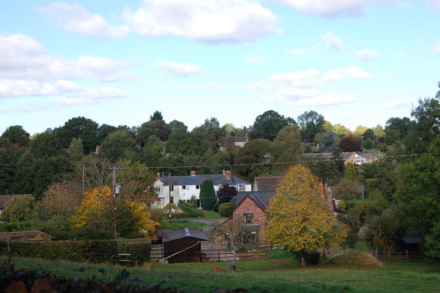
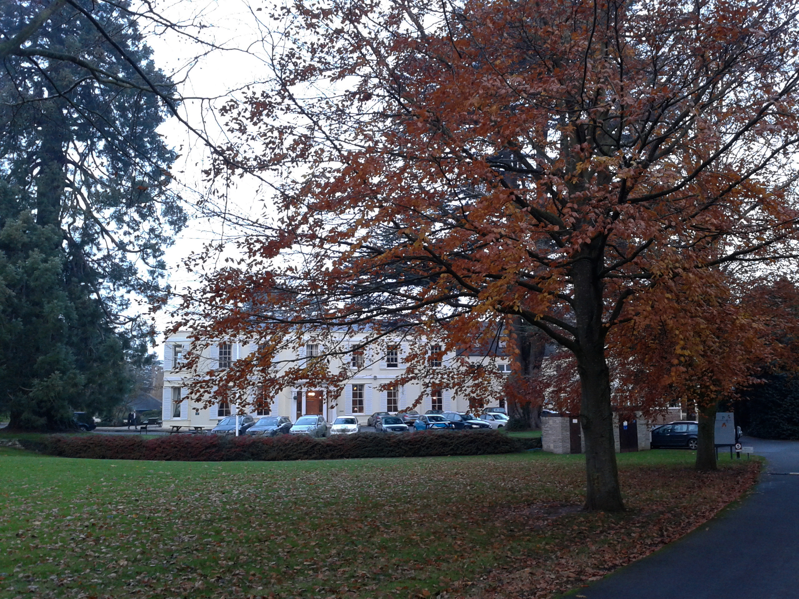
Hartleton is a small village located in the county of Herefordshire, England. Situated in the rural countryside, Hartleton is surrounded by rolling hills and picturesque landscapes. It lies approximately 7 miles northwest of the city of Hereford, making it an ideal location for those seeking a peaceful and tranquil lifestyle away from the hustle and bustle of city life.

The village itself is characterized by its charming and traditional architecture, with many of the buildings dating back several centuries. The local community is close-knit and friendly, with a population of around 300 residents. The village is predominantly residential, with a few small businesses and amenities catering to the local population's needs.

Hartleton is renowned for its natural beauty and is a popular destination for nature lovers and outdoor enthusiasts. The surrounding countryside offers numerous walking and cycling trails, allowing visitors to explore the stunning countryside and take in the stunning views. The nearby River Wye also provides opportunities for fishing and boating.

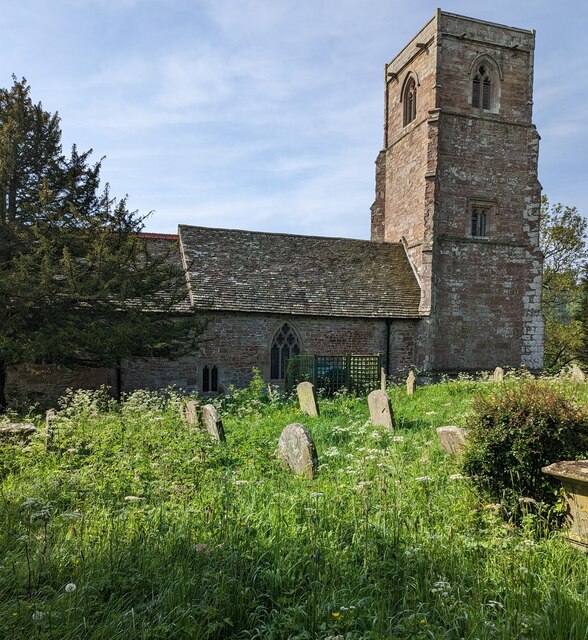
Although small, Hartleton has a rich history. The village has a medieval church, St. Bartholomew's, which is a prominent landmark and a testament to the area's heritage. Additionally, the village hosts several community events throughout the year, including a summer fair and a Christmas market, bringing residents together and fostering a sense of community spirit.

In summary, Hartleton is a charming and idyllic village in Herefordshire, offering a peaceful and rural lifestyle amidst beautiful countryside. With its friendly community, rich history, and proximity to nature, Hartleton is a hidden gem for those seeking a tranquil retreat in the heart of England.

If you have any feedback on the listing, please let us know in the comments section below.

Hartleton Images

Images are sourced within 2km of 51.928326/-2.5131735 or Grid Reference SO6425. Thanks to Geograph Open Source API. All images are credited.

Footpath from Linton Hill The Malvern Hills can be seen on the horizon from the western, Herefordshire, side.
Footpath from Linton Hill
The Malvern Hills can be seen on the horizon from the western, Herefordshire, side.
Ruined barn at Bromsash, 2022 I've photographed this ruined barn many times but this time I refer to the subject of the First Geograph for the gridsquare taken by Philip Halling in September 2005, see <a href="https://www.geograph.org.uk/photo/58369">SO6424 : Ruined barn at Bromsash</a>.
Ruined barn at Bromsash, 2022
I've photographed this ruined barn many times but this time I refer to the subject of the First Geograph for the gridsquare taken by Philip Halling in September 2005, see SO6424 : Ruined barn at Bromsash.
Field margin near Upton Bishop
Former school near Upton Bishop
B4221, Crow Hill The telephone box is now a book exchange.
B4221, Crow Hill
The telephone box is now a book exchange.
Crow Hill former telephone box Now a book exchange.
Crow Hill former telephone box
Now a book exchange.
Crow Hill
Crow Hill
B4224, Crow Hill
B4224, Crow Hill
Crow Hill
Crow Hill
Some colour at Bollitree Autumn foliage hanging on into the beginning of December.
The red is Liquidambar, the gold is Lime.
Some colour at Bollitree
Autumn foliage hanging on into the beginning of December. The red is Liquidambar, the gold is Lime.
Vineyard in Upton Bishop Vines growing in a vineyard in Upton Bishop.
Vineyard in Upton Bishop
Vines growing in a vineyard in Upton Bishop.
Towards the lychgate, Upton Bishop, Herefordshire The lychgate is at the entrance to St John the Baptist 
churchyard in the Church of England Diocese of Hereford.
<a title="https://www.geograph.org.uk/photo/7482485" href="https://www.geograph.org.uk/photo/7482485">Link</a> for a closer view.
Towards the lychgate, Upton Bishop, Herefordshire
The lychgate is at the entrance to St John the Baptist churchyard in the Church of England Diocese of Hereford. Link for a closer view.
North side of St John the Baptist, Upton Bishop, Herefordshire Parish Church in the Church of England Diocese of Hereford.
The oldest parts of the church date from the 12th century. 
The tower dates from c1400. 
The church was restored in 1862 by Sir George Gilbert Scott.
St John the Baptist Upton Bishop was Grade I Listed in 1966.
North side of St John the Baptist, Upton Bishop, Herefordshire
Parish Church in the Church of England Diocese of Hereford. The oldest parts of the church date from the 12th century. The tower dates from c1400. The church was restored in 1862 by Sir George Gilbert Scott. St John the Baptist Upton Bishop was Grade I Listed in 1966.
Lychgate detail, Upton Bishop, Herefordshire Located here <a title="https://www.geograph.org.uk/photo/7482446" href="https://www.geograph.org.uk/photo/7482446">Link</a> at the entrance to St John the Baptist churchyard in the Church of
England Diocese of Hereford. Derived from an old English word for a corpse,
a lychgate is the roofed gateway to a churchyard, formerly used to shelter
a coffin until the clergyman's arrival for the burial or pre-burial service.
Lychgate detail, Upton Bishop, Herefordshire
Located here Link at the entrance to St John the Baptist churchyard in the Church of England Diocese of Hereford. Derived from an old English word for a corpse, a lychgate is the roofed gateway to a churchyard, formerly used to shelter a coffin until the clergyman's arrival for the burial or pre-burial service.
Pheasant confrontation, Upton Bishop, Herefordshire Viewed in May 2023. A few seconds ago, these two birds were fighting each other
on the road  behind the camera, oblivious to an approaching car. They then moved 
here before continuing their fight in nearby St John the Baptist churchyard.
Pheasant confrontation, Upton Bishop, Herefordshire
Viewed in May 2023. A few seconds ago, these two birds were fighting each other on the road behind the camera, oblivious to an approaching car. They then moved here before continuing their fight in nearby St John the Baptist churchyard.
Pre-Worboys road sign, Upton Bishop Showing SCHOOL, the sign is near the entrance to 
St John the Baptist churchyard in rural Herefordshire.
Pre-Worboys road sign, Upton Bishop
Showing SCHOOL, the sign is near the entrance to St John the Baptist churchyard in rural Herefordshire.
Inconspicuous church nameboard, Upton Bishop, Herefordshire In May 2023 you need to be near the board to see the words
The PARISH CHURCH of St JOHN THE BAPTIST UPTON BISHOP
Inconspicuous church nameboard, Upton Bishop, Herefordshire
In May 2023 you need to be near the board to see the words The PARISH CHURCH of St JOHN THE BAPTIST UPTON BISHOP
Churchyard path, Upton Bishop, Herefordshire Towards the Parish Church of St John the Baptist <a title="https://www.geograph.org.uk/photo/7482464" href="https://www.geograph.org.uk/photo/7482464">Link</a>
in the   Church of England Diocese of Hereford.
Churchyard path, Upton Bishop, Herefordshire
Towards the Parish Church of St John the Baptist Link in the Church of England Diocese of Hereford.
Show me another place!

Hartleton is located at Grid Ref: SO6425 (Lat: 51.928326, Lng: -2.5131735)

Unitary Authority: County of Herefordshire

Police Authority: West Merica

What 3 Words

///easygoing.clock.amused. Near Linton, Herefordshire

Related Wikis

Linton (near Ross-on-Wye)

Linton is a village and civil parish in south-east Herefordshire, England, approximately 3 miles (5 km) east of Ross-on-Wye. The village church of St Mary...

Ariconium

Ariconium was a road station of Roman Britain mentioned in Iter XIII of the Iter Britanniarum of the Antonine Itineraries. It was located at Bury Hill...

Burton Court, Linton

Burton Court is a grade II listed, large country house near Linton, Penyard, Herefordshire, England.The house is of brick-faced stone, with five bays....
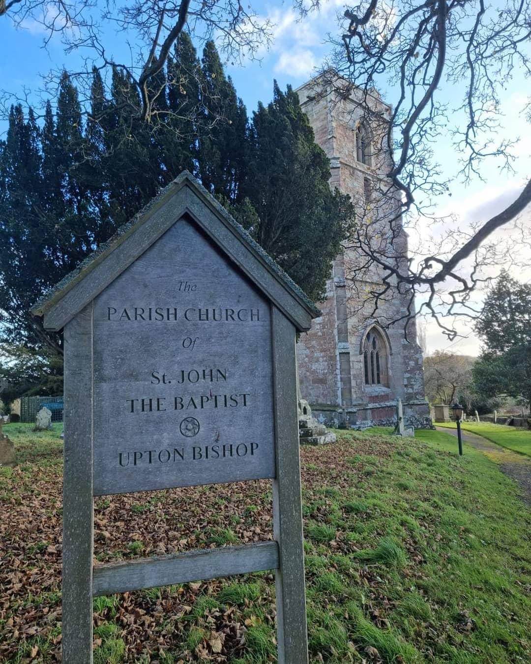
Upton Bishop

Upton Bishop is a small village in Herefordshire, England. The population of the village at the 2011 census was 602.Upton Bishop was featured several years...

Weston under Penyard Halt railway station

Weston under Penyard Halt railway station is a disused wood built railway station that served the village of Weston under Penyard in Herefordshire on the...

Gorsley Common

Gorsley Common is a village in Herefordshire, west of Gorsley and Kilcot and east of Linton. == References == == External links == Media related to Gorsley...

Penyard House, Ross-on-Wye

Penyard House, Weston under Penyard near Ross-on-Wye is a building of historical significance. It appears to have been built in about 1821 by a wealthy...

Weston under Penyard

Weston under Penyard is a small village in Herefordshire, England. The population of the civil parish at the 2011 Census was 1,007.It lies on the A40 road...

Nearby Amenities

Located within 500m of 51.928326,-2.5131735
Track
Designation: public_footpath
Prow Ref: LTR1
Tracktype: grade2
Lat/Long: 51.927855/-2.5127926
Barrier: stile
Lat/Long: 51.9314278/-2.513098
Power: pole
Lat/Long: 51.9247788/-2.515837
Power: pole
Lat/Long: 51.9250691/-2.5160857
Power: pole
Lat/Long: 51.9256211/-2.5165779
Power: pole
Lat/Long: 51.925935/-2.5186218
Location Transition: yes
Power: pole
Lat/Long: 51.9257187/-2.5166617
Power: pole
Lat/Long: 51.9255082/-2.5163338
Power: pole
Lat/Long: 51.9259201/-2.5154313
Power: pole
Lat/Long: 51.9264684/-2.5142122
Hartleton New House
Power: pole
Transformer: distribution
Voltage Primary: 11000
Lat/Long: 51.9269473/-2.5132198
Power: pole
Lat/Long: 51.9278016/-2.512906
Hartleton
Power: pole
Transformer: distribution
Voltage Primary: 11000
Lat/Long: 51.9280244/-2.5126947
Power: pole
Lat/Long: 51.9279235/-2.5112296
Power: pole
Lat/Long: 51.9273198/-2.5101916
Power: pole
Lat/Long: 51.9269832/-2.5089859
Studley
Power: pole
Transformer: distribution
Voltage Primary: 11000
Lat/Long: 51.9276618/-2.5067228
Power: pole
Lat/Long: 51.9272375/-2.5072599
Power: pole
Lat/Long: 51.9265664/-2.5080579
The data included in this document is from www.openstreetmap.org. The data is made available under ODbL.

Have you been to Hartleton?

Leave your review of Hartleton below (or comments, questions and feedback).