Hanningfield Green

Settlement in Suffolk Babergh

England

Hanningfield Green

Church of All Saints, Lawshall A largely fifteenth century church <span class="nowrap"><a title="https://historicengland.org.uk/listing/the-list/list-entry/1036594" rel="nofollow ugc noopener" href="https://historicengland.org.uk/listing/the-list/list-entry/1036594">Link</a><img style="margin-left:2px;" alt="External link" title="External link - shift click to open in new window" src="https://s1.geograph.org.uk/img/external.png" width="10" height="10"/></span>
Church of All Saints, Lawshall Credit: Jonathan Thacker

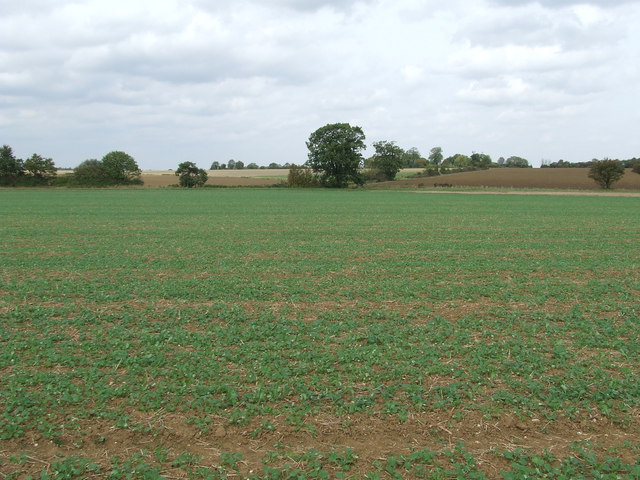
Hanningfield Green is a small village located in the county of Suffolk, England. Situated approximately 10 miles southeast of the town of Sudbury, it is surrounded by picturesque countryside and farmland. The village is part of the Babergh district and falls within the civil parish of Great Cornard.

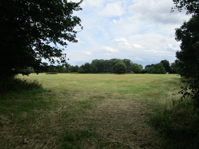
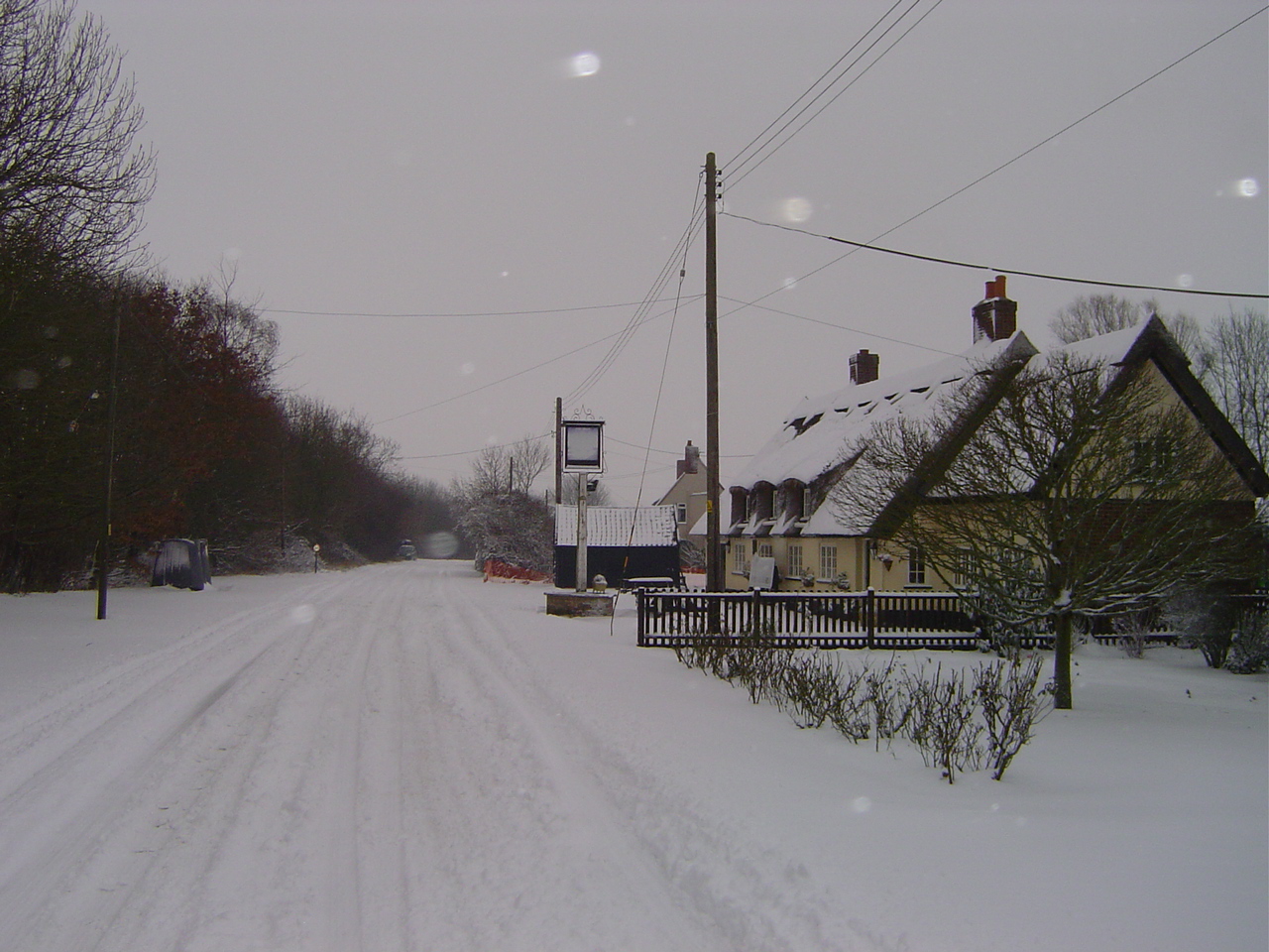
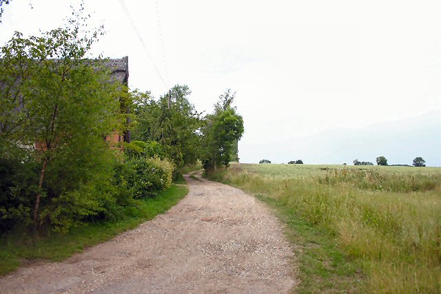
Hanningfield Green is known for its rural charm and tranquility. The area is characterized by its traditional English cottages, many of which date back several centuries. The village is relatively small, with a population of around 200 residents.

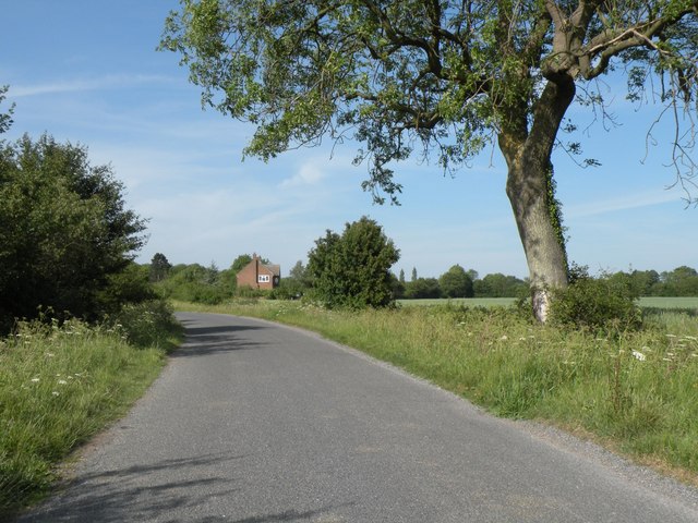
There are limited amenities in Hanningfield Green itself, with no shops or schools within the immediate vicinity. However, the nearby town of Sudbury provides easy access to a wider range of facilities, including supermarkets, schools, and medical services. The village does have a small pub, which serves as a social hub for residents and visitors alike.

Surrounded by beautiful countryside, Hanningfield Green offers ample opportunities for outdoor activities. The village is located near the River Stour, which is popular for fishing and boating. The surrounding fields and woodlands provide scenic walking and cycling routes.

Overall, Hanningfield Green is a quiet and idyllic village, perfect for those seeking a peaceful retreat away from the hustle and bustle of city life. Its picturesque setting and close proximity to Sudbury make it an attractive location for those who value a rural lifestyle while still having access to essential amenities.

If you have any feedback on the listing, please let us know in the comments section below.

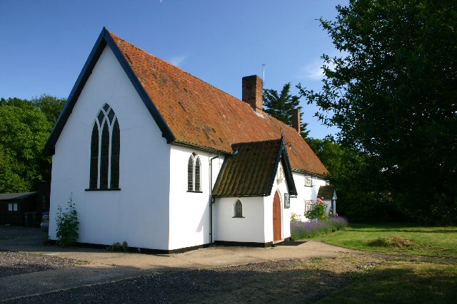
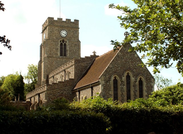
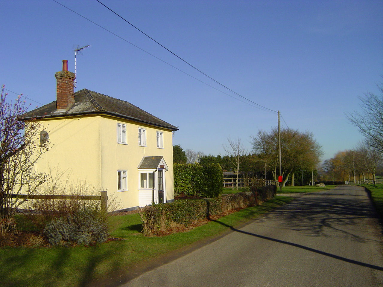
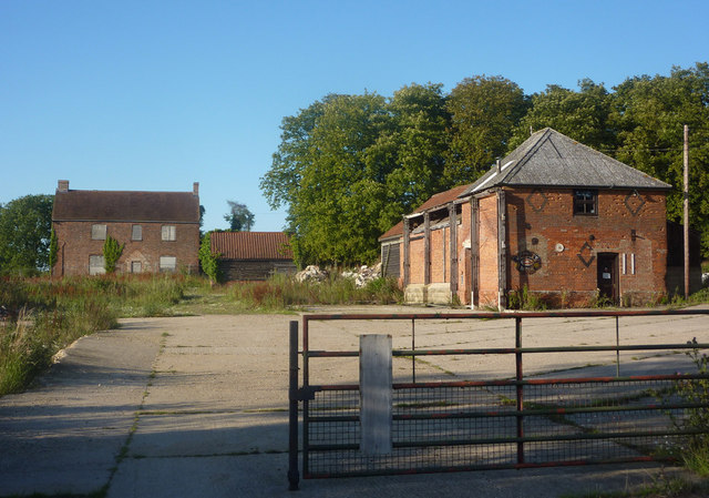
Hanningfield Green Images

Images are sourced within 2km of 52.153391/0.734741 or Grid Reference TL8754. Thanks to Geograph Open Source API. All images are credited.

Church of All Saints, Lawshall A largely fifteenth century church <span class="nowrap"><a title="https://historicengland.org.uk/listing/the-list/list-entry/1036594" rel="nofollow ugc noopener" href="https://historicengland.org.uk/listing/the-list/list-entry/1036594">Link</a><img style="margin-left:2px;" alt="External link" title="External link - shift click to open in new window" src="https://s1.geograph.org.uk/img/external.png" width="10" height="10"/></span>
Church of All Saints, Lawshall
A largely fifteenth century church LinkExternal link
Grass field near Lawshall
Isolated tree near Makin's Farm
A134 looking north A route from Colchester to King's Lynn, next major place, Bury St Edmunds.
A134 looking north
A route from Colchester to King's Lynn, next major place, Bury St Edmunds.
A134 looking north A route from Colchester to King's Lynn, next major place, Bury St Edmunds.
A134 looking north
A route from Colchester to King's Lynn, next major place, Bury St Edmunds.
Shimpling Road, heading towards Lawshall
Footpath to Shimpling Street from Shimpling Road
Part of Shimpling Road in Lawshall
The approach to Hanningfields Farm
The village sign at Lawshall
Road junction in Lawshall This junction is actually a crossroads.  The road to the right is Melford Road with Bury Road off to the left.  Straight ahead is Lambs Lane and opposite is Golden Lane.
Road junction in Lawshall
This junction is actually a crossroads. The road to the right is Melford Road with Bury Road off to the left. Straight ahead is Lambs Lane and opposite is Golden Lane.
Donkey Lane, between Lawshall and Stanningfield
St.Edmunds Way Looking south along part of the long distance walk St.Edmunds Way near to Stanningfield, Suffolk.
St.Edmunds Way
Looking south along part of the long distance walk St.Edmunds Way near to Stanningfield, Suffolk.
At Work Farmer and his tractor at work near to Stanningfield, Suffolk.
At Work
Farmer and his tractor at work near to Stanningfield, Suffolk.
Farming Farming activity near to Stanningfield, Suffolk.
Farming
Farming activity near to Stanningfield, Suffolk.
St.Edmunds Way The long distance footpath St.Edmunds Way on the left and Saxes Grove in the neighbouring square near to Lawshall, Suffolk.
St.Edmunds Way
The long distance footpath St.Edmunds Way on the left and Saxes Grove in the neighbouring square near to Lawshall, Suffolk.
Footbridge Footbridge near to Lawshall, Suffolk.
Footbridge
Footbridge near to Lawshall, Suffolk.
Fields Fields near to Lawshall, Suffolk.
Fields
Fields near to Lawshall, Suffolk.
Show me another place!

Hanningfield Green is located at Grid Ref: TL8754 (Lat: 52.153391, Lng: 0.734741)

Administrative County: Suffolk

District: Babergh

Police Authority: Suffolk

What 3 Words

///kilt.quits.cashiers. Near Lavenham, Suffolk

Related Wikis

The Street, Lawshall

The Street is a linear settlement in the civil parish of Lawshall in the Babergh district in the county of Suffolk, England. It extends from Lawshall Hall...

Hanningfield Green

Hanningfield Green, sometimes referred to as Hanningfields Green, is a hamlet in the civil parish of Lawshall in the Babergh district in the county of...

Bury Road, Lawshall

Bury Road, Lawshall is a linear settlement in the civil parish of Lawshall in the Babergh district in the county of Suffolk, England. The northern part...

All Saints' Church, Lawshall

The Parish Church of All Saints' Lawshall, is an Anglican church in the village of Lawshall, Suffolk, England. It has been designated by English Heritage...

Lawshall

Lawshall is a village and civil parish in Suffolk, England. Located around a mile off the A134 between Bury St Edmunds and Sudbury, it is part of Babergh...

Hart's Green

Hart's Green is a hamlet in the civil parish of Lawshall in the Babergh District in the county of Suffolk, England. It is located between Stanningfield...

Lawshall Hall

Lawshall Hall is a Grade II* listed building, re-built in 1557, that is located in the parish of Lawshall in Suffolk. The Hall is adjacent to All Saints...

Lawshall Green

Lawshall Green is a hamlet in the civil parish of Lawshall in the Babergh district in the county of Suffolk, England. It is located east of Hibb's Green...

Nearby Amenities

Located within 500m of 52.153391,0.734741
Bus Stop
Swanfield
Naptan AtcoCode: 390010437
Naptan Bearing: E
Naptan CommonName: Swanfield
Naptan Indicator: opp
Naptan Landmark: Swanfield
Naptan NaptanCode: sufagdwg
Naptan Street: The Street
Naptan Verified: no
Shelter: yes
Source: naptan_import
Lat/Long: 52.1551023/0.7296642
Bus Stop
Swanfield
Naptan AtcoCode: 390010438
Naptan Bearing: W
Naptan BusStopType: CUS
Naptan CommonName: Swanfield
Naptan Indicator: adj
Naptan Landmark: Swanfield
Naptan NaptanCode: sufagdwj
Naptan Street: The Street
Naptan Verified: no
Source: naptan_import
Lat/Long: 52.1549938/0.7296416
Bus Stop
Free Church
Naptan AtcoCode: 390010764
Naptan Bearing: SE
Naptan BusStopType: CUS
Naptan CommonName: Free Church
Naptan Indicator: adj
Naptan Landmark: Free Church
Naptan NaptanCode: sufjdpgp
Naptan Street: The Street
Naptan Verified: no
Source: naptan_import
Lat/Long: 52.1543101/0.7337326
Bus Stop
Free Church
Naptan AtcoCode: 390010765
Naptan Bearing: NW
Naptan BusStopType: CUS
Naptan CommonName: Free Church
Naptan Indicator: opp
Naptan Landmark: Free Church
Naptan NaptanCode: sufjdpgt
Naptan Street: The Street
Naptan Verified: no
Source: naptan_import
Lat/Long: 52.1541827/0.7336238
Public Bookcase
Phonebox Book Swap Shop
Booth: K6
Colour: red
Disused Amenity: telephone
Historic: monument
Inscription: An old red phone box that was restored and converted to a book swap shop for the village to enjoy.
Man Made: telephone_box
Public Bookcase Type: phone_box
Lat/Long: 52.1551044/0.7295588
Give Way
Lat/Long: 52.1544147/0.7332918
Give Way
Lat/Long: 52.1545052/0.7330517
Give Way
Lat/Long: 52.1545603/0.7331671
Give Way
Lat/Long: 52.1533919/0.7347402
Waste Basket
Waste: dog_excrement
Lat/Long: 52.1531969/0.7349628
Parish Land - Hanningfield green
Information: board
Tourism: information
Lat/Long: 52.1531722/0.7349186
The data included in this document is from www.openstreetmap.org. The data is made available under ODbL.

Have you been to Hanningfield Green?

Leave your review of Hanningfield Green below (or comments, questions and feedback).