Hamwell Leaze

Settlement in Gloucestershire Stroud

England

Hamwell Leaze

Rodborough Fort
Rodborough Fort Credit: Angus Townley

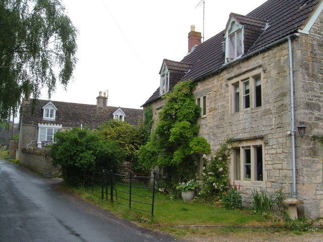
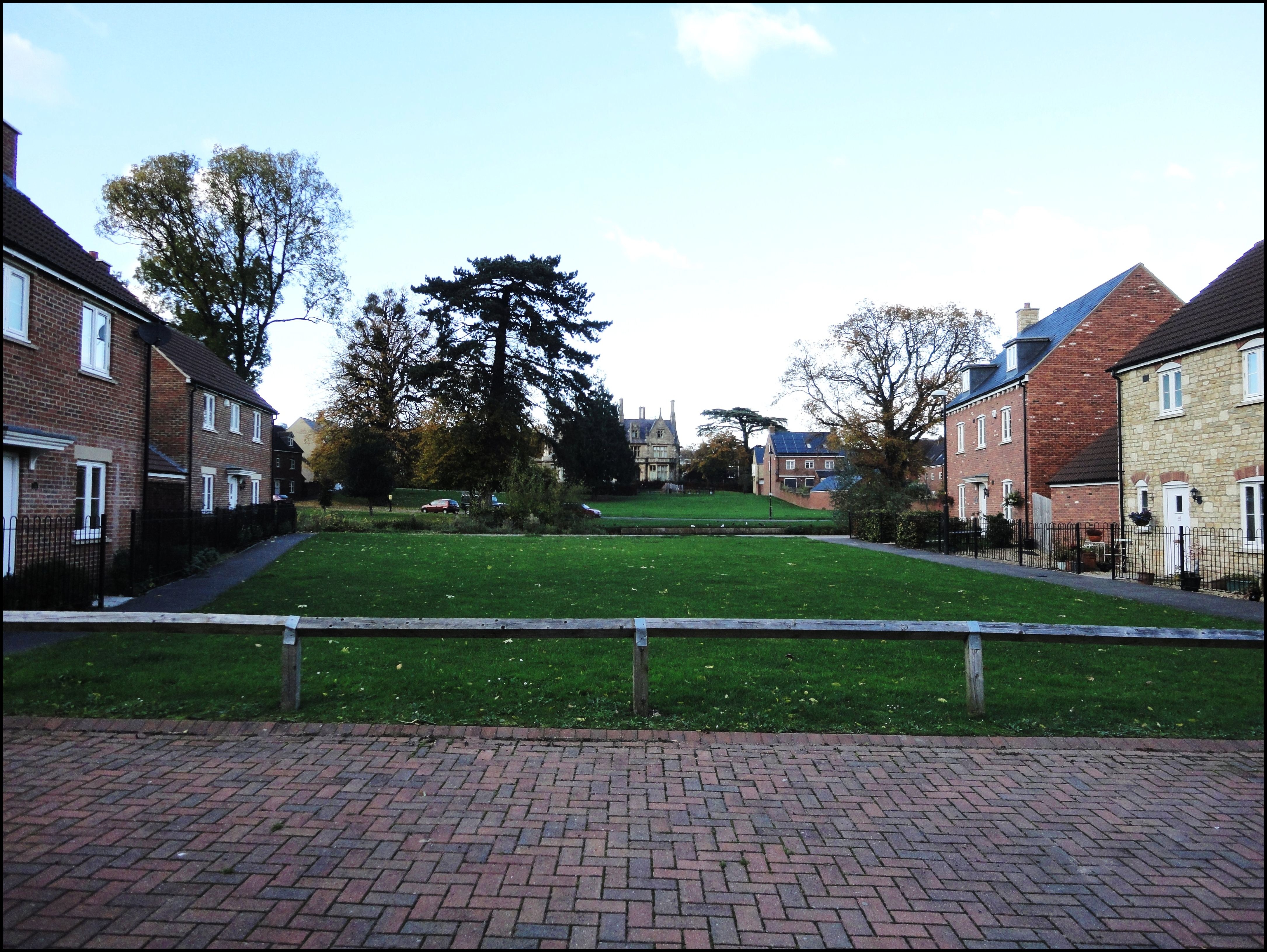
Hamwell Leaze is a quaint village located in Gloucestershire, England. Situated amidst the picturesque rolling hills of the Cotswolds, it is a haven for nature lovers and those seeking a tranquil escape.

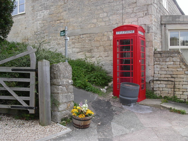
The village is characterized by its charming stone houses, some of which date back centuries, adding to its rich historical heritage. Its idyllic setting offers breathtaking views of the surrounding countryside, with lush green meadows and meandering streams dotting the landscape. The village is known for its well-preserved traditional architecture, with many buildings featuring characteristic Cotswold stone roofs and walls.

Despite its small size, Hamwell Leaze boasts a strong sense of community. The village is home to a close-knit population who take pride in preserving its rural charm and heritage. It has a small but vibrant village hall, which serves as a hub for various community activities and gatherings.

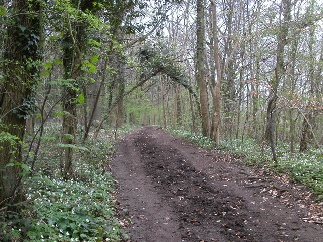
The village is also blessed with a variety of natural attractions. The nearby Hamwell Leaze Woods provide an enchanting setting for leisurely walks and picnics, offering a chance to spot local wildlife and enjoy the peaceful surroundings. In addition, the village is within close proximity to the Cotswold Way, a popular long-distance walking trail that stretches across the Cotswolds, providing ample opportunities for outdoor enthusiasts.

Hamwell Leaze may be a hidden gem in Gloucestershire, but its beauty, community spirit, and natural wonders make it a truly remarkable place to visit or call home.

If you have any feedback on the listing, please let us know in the comments section below.

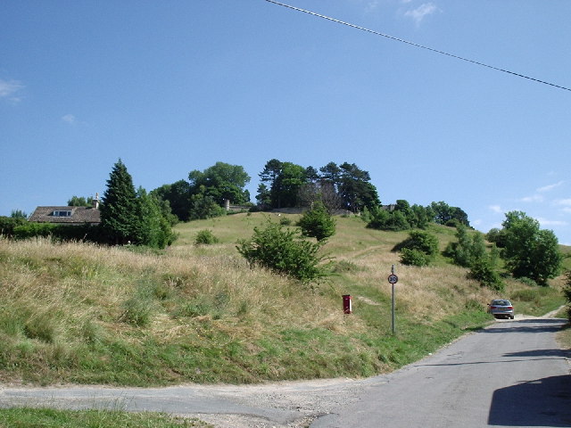
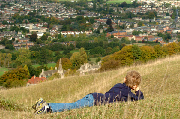
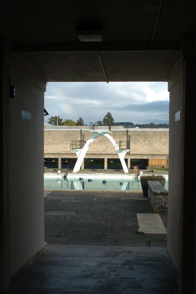
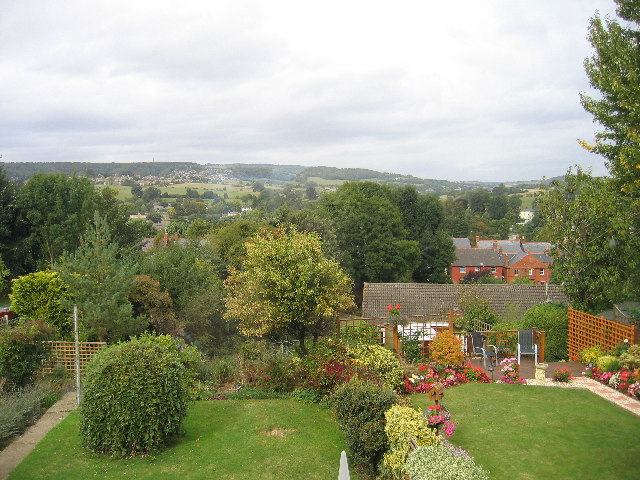
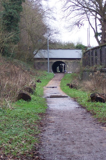
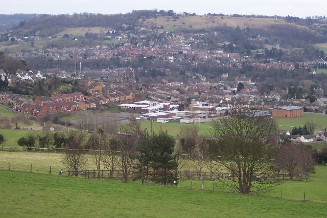
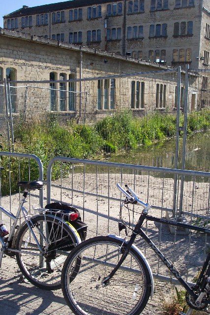
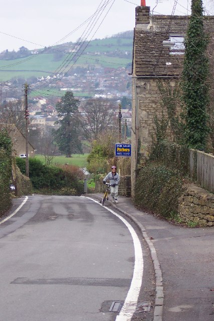
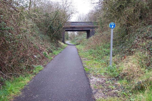
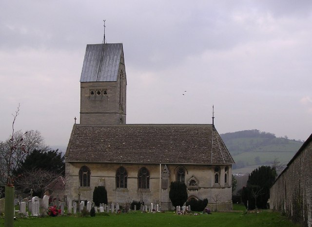
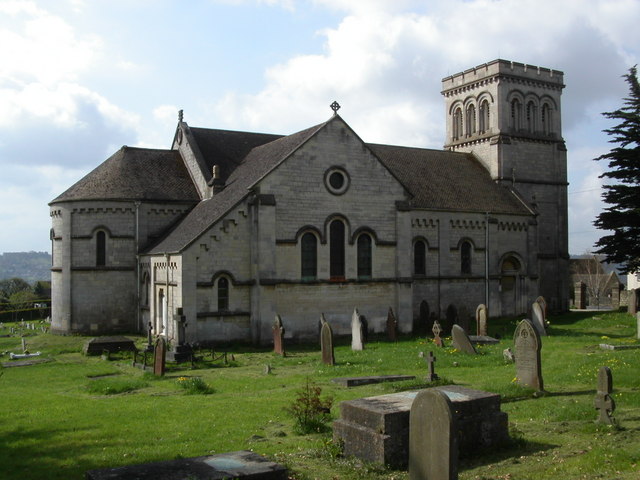
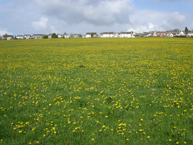
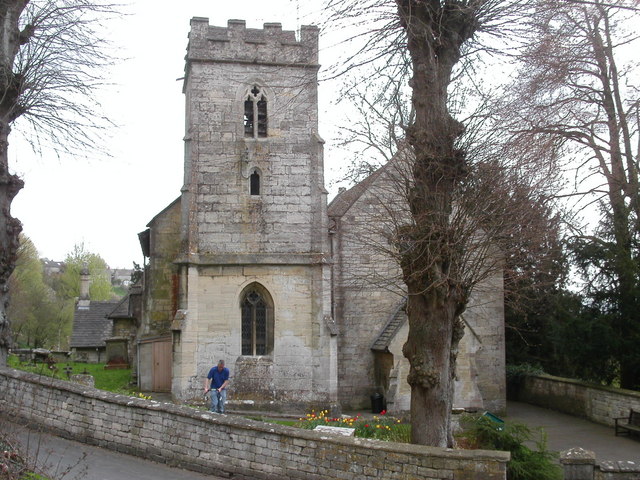
Hamwell Leaze Images

Images are sourced within 2km of 51.746698/-2.2460008 or Grid Reference SO8305. Thanks to Geograph Open Source API. All images are credited.

Rodborough Fort
Rodborough Fort
Performance outside Stroud Subscription Rooms Skate Naked perform outside the 'Sub Rooms'
Performance outside Stroud Subscription Rooms
Skate Naked perform outside the 'Sub Rooms'
Views from Selsley Ridge View of Selsley and Caincross
Views from Selsley Ridge
View of Selsley and Caincross
Stratford Park Lido View through turnstiles of 1930's open air lido with cast concrete diving boards and the modern leisure centre next door in Stratford Park, Stroud, Gloucestershire.
Stratford Park Lido
View through turnstiles of 1930's open air lido with cast concrete diving boards and the modern leisure centre next door in Stratford Park, Stroud, Gloucestershire.
Rodborough Hill View from Rodborough Hill looking north over Beeches Green with Whiteshill in the distance.
Rodborough Hill
View from Rodborough Hill looking north over Beeches Green with Whiteshill in the distance.
Dudbridge Cycle Track Former Midland Railway line linking Nailsworth and Stonehouse now a cycle track. The bridge is where the B4066 climbs towards Selsley.
Dudbridge Cycle Track
Former Midland Railway line linking Nailsworth and Stonehouse now a cycle track. The bridge is where the B4066 climbs towards Selsley.
Stroud view General view of Stroud. The clump of buildings in the centre of the picture belong to Archway School. The pair of white lines looking like a giant rugby goal are chimney stacks belonging to the Millikan factory, a wool cloth mill. The hill in the background is Rodborough Hill.
Stroud view
General view of Stroud. The clump of buildings in the centre of the picture belong to Archway School. The pair of white lines looking like a giant rugby goal are chimney stacks belonging to the Millikan factory, a wool cloth mill. The hill in the background is Rodborough Hill.
Ebley Mill Ebley mill is next to the Stroudwater canal. This particular bit of the mill is now a fitness club. The canal is being restored and excavated and this viewpoint will soon only be possible from a boat.
Ebley Mill
Ebley mill is next to the Stroudwater canal. This particular bit of the mill is now a fitness club. The canal is being restored and excavated and this viewpoint will soon only be possible from a boat.
Selsley The B4066 road rises through Selsley a bit too steeply for this cyclist. Randwick rises across the other side of the valley.
Selsley
The B4066 road rises through Selsley a bit too steeply for this cyclist. Randwick rises across the other side of the valley.
Dudbridge Cycle Track The railway line ran between Dudbridge and Stroud and is viewed from the Dudbridge End. Nowadays it's the best made bit of cycle track in Stroud, it's a pity the access is by a flight of stairs. The road bridge carries traffic between Dudbridge Hill and Dudbridge.
Dudbridge Cycle Track
The railway line ran between Dudbridge and Stroud and is viewed from the Dudbridge End. Nowadays it's the best made bit of cycle track in Stroud, it's a pity the access is by a flight of stairs. The road bridge carries traffic between Dudbridge Hill and Dudbridge.
Selsley.  All Saints church This church which was built in 1862, was copied from one in the Austrian Tyrol, the designer was G.F.Bodley.
Selsley. All Saints church
This church which was built in 1862, was copied from one in the Austrian Tyrol, the designer was G.F.Bodley.
Whiteshill Church Whiteshill church is situated at the southern end of Whiteshill and just north of Stroud. The church was opened in 1840.
Whiteshill Church
Whiteshill church is situated at the southern end of Whiteshill and just north of Stroud. The church was opened in 1840.
Whiteshill village Whiteshill village is 2Km north of Stroud. The Cotswold Way path is 1Km to the west in Standish woods.
Whiteshill village
Whiteshill village is 2Km north of Stroud. The Cotswold Way path is 1Km to the west in Standish woods.
Randwick church Randwick parish church lies just below Standish wood and is 1Km north of Stroud.
Randwick church
Randwick parish church lies just below Standish wood and is 1Km north of Stroud.
Cotswold Way path in Standish woods The Cotswold Way path as it runs south-west through Standish woods. Taken in late April with a late spring the floor of the wood was covered in Wild Garlic and Bluebells.
Cotswold Way path in Standish woods
The Cotswold Way path as it runs south-west through Standish woods. Taken in late April with a late spring the floor of the wood was covered in Wild Garlic and Bluebells.
Ocker Hill phone box An original red phonebox stands by the footpath marker at Ocker Hill, Randwick.
Ocker Hill phone box
An original red phonebox stands by the footpath marker at Ocker Hill, Randwick.
Stroud Fire Station Stroud Fire Station, Paganhill Lane, Stroud, Gloucestershire is station number W07 of the Gloucestershire Fire & Rescue Service.
Stroud Fire Station
Stroud Fire Station, Paganhill Lane, Stroud, Gloucestershire is station number W07 of the Gloucestershire Fire & Rescue Service.
Redhouse Lane, Westrip Westrip, on the edge of the built-up area of Stroud, retains a village feel. This photo, looking up the lane, shows Westrip Farm House and Westrip Lodge.
Redhouse Lane, Westrip
Westrip, on the edge of the built-up area of Stroud, retains a village feel. This photo, looking up the lane, shows Westrip Farm House and Westrip Lodge.
Show me another place!

Hamwell Leaze is located at Grid Ref: SO8305 (Lat: 51.746698, Lng: -2.2460008)

Administrative County: Gloucestershire

District: Stroud

Police Authority: Gloucestershire

What 3 Words

///damage.response.magazines. Near Stonehouse, Gloucestershire

Related Wikis

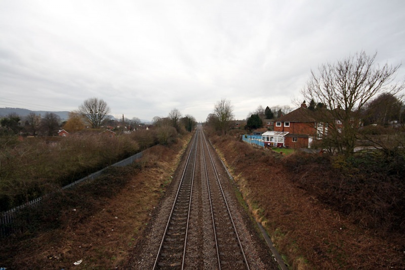
Cashes Green Halt railway station

Cashes Green Halt was opened on 22 January 1930 on what is now the Golden Valley Line between Stroud and Stonehouse. This line was opened in 1845 as the...

Cashes Green

Cashes Green is a substantial residential area in the civil parish of Cainscross on the outskirts of Stroud, in Gloucestershire, England. Although the...

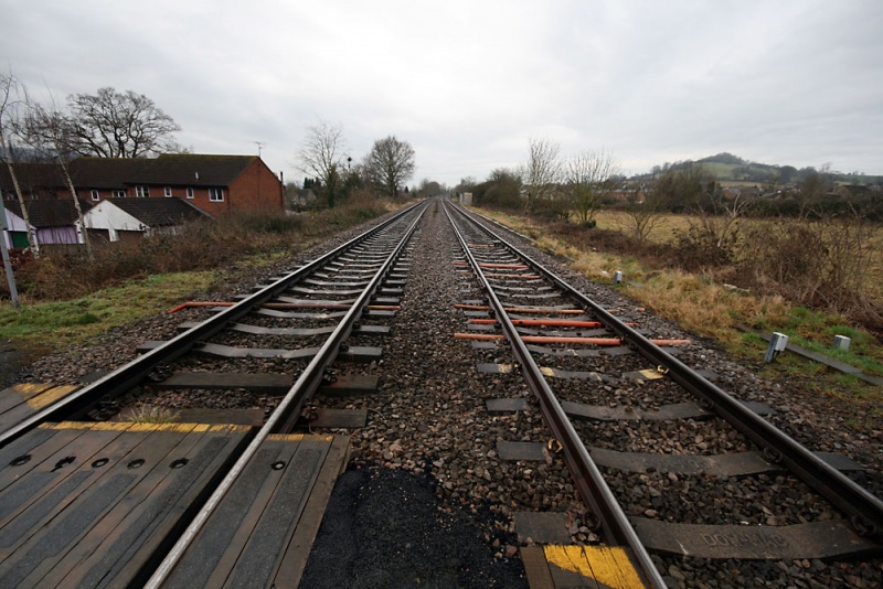
Ebley Crossing Halt railway station

Ebley Crossing Halt was opened on 12 October 1903 on what is now the Golden Valley Line between Stroud and Stonehouse. This line was opened in 1845 as...

Archway School

Archway School is a comprehensive co-educational school for pupils aged 11 to 18 in Stroud, Gloucestershire, England. The headteacher is Kieron Smith....

Marling School

Marling School is a grammar school with academy status for boys, with a co-educational Sixth Form located in Stroud, Gloucestershire, England. It is on...

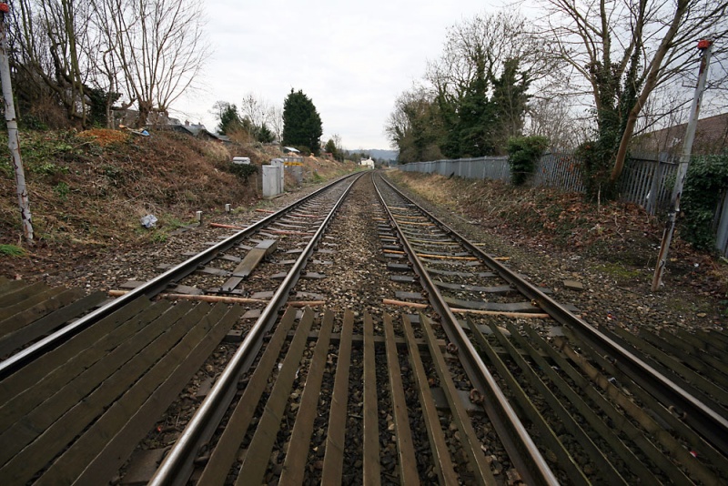
Downfield Crossing Halt railway station

Downfield Crossing Halt was on what is now the Golden Valley Line between Stroud and Stonehouse. == History == The line was opened in 1845 as the Cheltenham...

Ebley

Ebley is a community in Gloucestershire, England. It was once a village, and is now part of the Stroud urban area. It lies in the valley of the River...
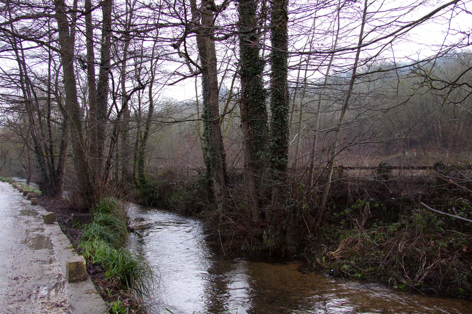
Nailsworth Stream

Nailsworth Stream is a small river in Gloucestershire, England. It is a tributary of the River Frome. From its source near Cherington, it flows westwards...

Related Videos

🇬🇧 Walking in the beautiful Stroud Town

stroud #uk #2023 #2022 #england #somerset #vlog #london #touristplace #touristspot #touristattraction #europe.

Cotswold Way Walks | Selsley Circuit

This has very quickly become a favourite walk of ours. With its mixture of Cotswold scenery and industrial mill heritage, this walk is ...

PART1 TRAVEL VLOG | ENTERTAINMENT VIDEO | LIKE

hdvideo #intertainmentshort #like #travelingshorts #travel #4QUALITY.

Nearby Amenities

Located within 500m of 51.746698,-2.2460008
Mini Roundabout
Direction: clockwise
Lat/Long: 51.7483478/-2.2478491
Mini Roundabout
Direction: clockwise
Lat/Long: 51.7466936/-2.2460275
Post Box
Collection Times: Mo-Fr 17:15; Sa 11:45
Collection Times Checked: 2015-10-11
Operator: Royal Mail
Operator Wikidata: Q638098
Post Box Type: lamp
Ref: GL5 108
Royal Cypher: EIIR
Royal Cypher Wikidata: Q33102113
Lat/Long: 51.7482791/-2.2480313
Telephone
Booth: K6
Covered: booth
Operator: BT
Operator Wikidata: Q593786
Phone: +44 1453 763770
Lat/Long: 51.7482791/-2.2480612
Post Box
Postal Code: GL5
Ref: GL5 248
Lat/Long: 51.7456518/-2.2510064
Post Box
Postal Code: GL5
Ref: GL5 279
Royal Cypher: EIIR
Lat/Long: 51.7425573/-2.2455303
Bus Stop
Cashes Green Primary School
Bus: yes
Naptan AtcoCode: 1600GL2513
Naptan Bearing: E
Naptan CommonName: Cashes Green Primary School
Naptan NaptanCode: gloawtdm
Naptan PlusbusZoneRef: STRUD
Naptan Street: Hillcrest Rd
Naptan Verified: no
Public Transport: platform
Source: naptan_import
Lat/Long: 51.750488/-2.2478865
Bus Stop
The Stirrup
Bus: yes
Naptan AtcoCode: 1600GL2597
Naptan Bearing: W
Naptan CommonName: The Stirrup
Naptan Crossing: Opp
Naptan NaptanCode: gloawpap
Naptan PlusbusZoneRef: STRUD
Naptan Street: Hunters Way
Naptan Verified: no
Public Transport: platform
Source: naptan_import
Lat/Long: 51.7456238/-2.2514573
Bus Stop
Hillcrest Rd
Bus: yes
Naptan AtcoCode: 1600GL919
Naptan Bearing: NE
Naptan CommonName: Hillcrest Rd
Naptan NaptanCode: gloawtmg
Naptan PlusbusZoneRef: STRUD
Naptan Street: Queen's Drive
Naptan Verified: no
Public Transport: platform
Source: naptan_import
Lat/Long: 51.74856/-2.2454424
Bus Stop
Fire Station
Bus: yes
Naptan AtcoCode: 1600GLS228
Naptan Bearing: NE
Naptan CommonName: Fire Station
Naptan NaptanCode: glodagta
Naptan PlusbusZoneRef: STRUD
Naptan Street: Paganhill Lane
Naptan Verified: no
Public Transport: platform
Shelter: no
Source: naptan_import
Lat/Long: 51.74468/-2.2396367
Bus Stop
Westward Rd
Bus: yes
Naptan AtcoCode: 1600GLS679
Naptan Bearing: NW
Naptan CommonName: Westward Rd
Naptan NaptanCode: glodadtj
Naptan PlusbusZoneRef: STRUD
Naptan Street: Cashes Green Rd
Naptan Verified: no
Public Transport: platform
Shelter: yes
Source: naptan_import
Lat/Long: 51.743536/-2.2420129
Bus Stop
Westward Rd
Bus: yes
Naptan AtcoCode: 1600GLS680
Naptan Bearing: SE
Naptan CommonName: Westward Rd
Naptan NaptanCode: glodadpj
Naptan PlusbusZoneRef: STRUD
Naptan Street: Cashes Green Rd
Naptan Verified: no
Public Transport: platform
Shelter: no
Source: naptan_import
Lat/Long: 51.7435603/-2.2418696
Bus Stop
Kingley Rd
Bus: yes
Naptan AtcoCode: 1600GLS681
Naptan Bearing: N
Naptan CommonName: Kingley Rd
Naptan NaptanCode: gloawtmd
Naptan PlusbusZoneRef: STRUD
Naptan Street: Cashes Green Rd
Naptan Verified: no
Public Transport: platform
Source: naptan_import
Lat/Long: 51.7461765/-2.2458205
Bus Stop
Kingley Rd
Bus: yes
Naptan AtcoCode: 1600GLS682
Naptan Bearing: SE
Naptan CommonName: Kingley Rd
Naptan NaptanCode: gloawtmp
Naptan PlusbusZoneRef: STRUD
Naptan Street: Cashes Green Rd
Naptan Verified: no
Public Transport: platform
Source: naptan_import
Lat/Long: 51.7460157/-2.2453417
Bus Stop
The Beagles
Bus: yes
Naptan AtcoCode: 1600GLS683
Naptan Bearing: SW
Naptan CommonName: The Beagles
Naptan NaptanCode: gloawpwd
Naptan PlusbusZoneRef: STRUD
Naptan Street: Hunters Way
Naptan Verified: no
Public Transport: platform
Source: naptan_import
Lat/Long: 51.7459727/-2.2486729
Bus Stop
Princes Rd
Bus: yes
Naptan AtcoCode: 1600GLS691
Naptan Bearing: SE
Naptan CommonName: Princes Rd
Naptan NaptanCode: gloawtjg
Naptan PlusbusZoneRef: STRUD
Naptan Street: Hillcrest Rd
Naptan Verified: no
Public Transport: platform
Source: naptan_import
Lat/Long: 51.749178/-2.2466046
Bus Stop
Queen's Drive
Bus: yes
Naptan AtcoCode: 1600GLS693
Naptan Bearing: SE
Naptan CommonName: Queen's Drive
Naptan NaptanCode: gloawtwg
Naptan PlusbusZoneRef: STRUD
Naptan Street: Mosley Rd
Naptan Verified: no
Public Transport: platform
Source: naptan_import
Lat/Long: 51.7485259/-2.244573
Bus Stop
Malvern Gardens
Bus: yes
Naptan AtcoCode: 1600GLS695
Naptan Bearing: SW
Naptan CommonName: Malvern Gardens
Naptan NaptanCode: glodadga
Naptan PlusbusZoneRef: STRUD
Naptan Street: Kingley Rd
Naptan Verified: no
Public Transport: platform
Source: naptan_import
Lat/Long: 51.7467932/-2.2432745
Pharmacy
Caincross Pharmacy
Addr City: Stroud
Addr Housenumber: 16
Addr Postcode: GL5 4JG
Addr Street: Cashes Green Road
Healthcare: pharmacy
Lat/Long: 51.7434701/-2.2434862
Barrier: cycle_barrier
Cycle Barrier: double
Lat/Long: 51.7439911/-2.2494991
Post Office
Cainscross Post Office
Addr City: Stroud
Addr Housename: Co-operative Store
Addr Housenumber: 16
Addr Postcode: GL5 4JG
Addr Street: Cashes Green Road
Addr Village: Cainscross
Fhrs Id: 154499
Opening Hours: Mo-Sa 07:00-21:00; Su 10:00-16:00
Operator: The Co-operative Food
Ref Pol Id: 11904
Lat/Long: 51.7433539/-2.2435129
Post Box
Collection Times: Mo-Fr 17:15; Sa 12:00
Collection Times Checked: 2015-10-11
Drive Through: no
Indoor: yes
Note: indoor box
Operator: Royal Mail
Operator Wikidata: Q638098
Post Box Type: pillar
Ref: GL5 96
Royal Cypher: EIIR
Royal Cypher Wikidata: Q33102113
Source: survey
Lat/Long: 51.7433403/-2.2434095
Fixme: incomplete
Lat/Long: 51.7509689/-2.2445202
Post Box
Collection Times: Mo-Fr 09:00; Sa 07:00
Collection Times Checked: 2015-10-30
Operator: Royal Mail
Operator Wikidata: Q638098
Post Box Type: lamp
Ref: GL5 120D
Royal Cypher: EIIR
Royal Cypher Wikidata: Q33102113
Lat/Long: 51.7462379/-2.2450307
Give Way
Direction: forward
Lat/Long: 51.7503545/-2.2488022
Give Way
Direction: backward
Lat/Long: 51.7503094/-2.2488599
Give Way
Direction: backward
Lat/Long: 51.7504738/-2.2496972
Generator Output Electricity: yes
Generator Solar Modules: 12
Generator Source: solar
Generator Type: solar_photovoltaic_panel
Location: roof
Power: generator
Lat/Long: 51.7501188/-2.2419995
Generator Output Electricity: yes
Generator Solar Modules: 13
Generator Source: solar
Generator Type: solar_photovoltaic_panel
Location: roof
Power: generator
Lat/Long: 51.7499162/-2.2434251
Generator Output Electricity: yes
Generator Source: solar
Generator Type: solar_photovoltaic_panel
Location: roof
Power: generator
Lat/Long: 51.7499553/-2.2433031
Generator Output Electricity: yes
Generator Source: solar
Generator Type: solar_photovoltaic_panel
Location: roof
Power: generator
Lat/Long: 51.7500059/-2.2432052
Generator Output Electricity: yes
Generator Source: solar
Generator Type: solar_photovoltaic_panel
Location: roof
Power: generator
Lat/Long: 51.7488983/-2.2493702
Generator Output Electricity: yes
Generator Solar Modules: 14
Generator Source: solar
Generator Type: solar_photovoltaic_panel
Location: roof
Power: generator
Lat/Long: 51.7486841/-2.2519398
Generator Output Electricity: yes
Generator Solar Modules: 13
Generator Source: solar
Generator Type: solar_photovoltaic_panel
Location: roof
Power: generator
Lat/Long: 51.7489282/-2.2513256
Generator Output Electricity: yes
Generator Solar Modules: 10
Generator Source: solar
Generator Type: solar_photovoltaic_panel
Location: roof
Power: generator
Lat/Long: 51.7476994/-2.2517118
Generator Output Electricity: yes
Generator Solar Modules: 12
Generator Source: solar
Generator Type: solar_photovoltaic_panel
Location: roof
Power: generator
Lat/Long: 51.7472277/-2.2515723
Generator Method: photovoltaic
Generator Output Electricity: yes
Generator Solar Modules: 14
Generator Source: solar
Generator Type: solar_photovoltaic_panel
Location: roof
Power: generator
Lat/Long: 51.749629/-2.245025
Generator Method: photovoltaic
Generator Output Electricity: yes
Generator Solar Modules: 14
Generator Source: solar
Generator Type: solar_photovoltaic_panel
Location: roof
Power: generator
Lat/Long: 51.7496555/-2.2449204
Generator Method: photovoltaic
Generator Output Electricity: yes
Generator Solar Modules: 6
Generator Source: solar
Generator Type: solar_photovoltaic_panel
Location: roof
Power: generator
Lat/Long: 51.7489182/-2.242654
Generator Method: photovoltaic
Generator Output Electricity: yes
Generator Solar Modules: 6
Generator Source: solar
Generator Type: solar_photovoltaic_panel
Location: roof
Power: generator
Lat/Long: 51.7489232/-2.2425883
Generator Method: photovoltaic
Generator Output Electricity: yes
Generator Solar Modules: 6
Generator Source: solar
Generator Type: solar_photovoltaic_panel
Location: roof
Power: generator
Lat/Long: 51.7489232/-2.2425252
Generator Output Electricity: yes
Generator Source: solar
Generator Type: solar_photovoltaic_panel
Location: roof
Power: generator
Lat/Long: 51.7477674/-2.2438046
Generator Method: photovoltaic
Generator Output Electricity: yes
Generator Solar Modules: 12
Generator Source: solar
Generator Type: solar_photovoltaic_panel
Location: roof
Power: generator
Lat/Long: 51.7484499/-2.2452316
Generator Method: photovoltaic
Generator Output Electricity: yes
Generator Solar Modules: 16
Generator Source: solar
Generator Type: solar_photovoltaic_panel
Location: roof
Power: generator
Lat/Long: 51.7484865/-2.2451457
Generator Output Electricity: yes
Generator Solar Modules: 8
Generator Source: solar
Generator Type: solar_photovoltaic_panel
Location: roof
Power: generator
Lat/Long: 51.7471796/-2.2430778
Generator Output Electricity: yes
Generator Solar Modules: 10
Generator Source: solar
Generator Type: solar_photovoltaic_panel
Location: roof
Power: generator
Lat/Long: 51.7454641/-2.2483644
Generator Output Electricity: yes
Generator Solar Modules: 14
Generator Source: solar
Generator Type: solar_photovoltaic_panel
Location: roof
Power: generator
Lat/Long: 51.7457564/-2.2489116
Generator Output Electricity: yes
Generator Solar Modules: 10
Generator Source: solar
Generator Type: solar_photovoltaic_panel
Location: roof
Power: generator
Lat/Long: 51.7458195/-2.2486728
Generator Output Electricity: yes
Generator Solar Modules: 13
Generator Source: solar
Generator Type: solar_photovoltaic_panel
Location: roof
Power: generator
Lat/Long: 51.7458593/-2.2484502
Generator Output Electricity: yes
Generator Solar Modules: 14
Generator Source: solar
Generator Type: solar_photovoltaic_panel
Location: roof
Power: generator
Lat/Long: 51.7457398/-2.2467953
Generator Output Electricity: yes
Generator Source: solar
Generator Type: solar_photovoltaic_panel
Location: roof
Power: generator
Lat/Long: 51.7458876/-2.2477233
Generator Output Electricity: yes
Generator Solar Modules: 18
Generator Source: solar
Generator Type: solar_photovoltaic_panel
Location: roof
Power: generator
Lat/Long: 51.7457248/-2.2454998
Generator Output Electricity: yes
Generator Source: solar
Generator Type: solar_photovoltaic_panel
Location: roof
Power: generator
Lat/Long: 51.7451469/-2.2458136
Generator Output Electricity: yes
Generator Solar Modules: 12
Generator Source: solar
Generator Type: solar_photovoltaic_panel
Location: roof
Power: generator
Lat/Long: 51.7451569/-2.2459719
Generator Output Electricity: yes
Generator Solar Modules: 8
Generator Source: solar
Generator Type: solar_photovoltaic_panel
Location: roof
Power: generator
Lat/Long: 51.7448114/-2.2472298
Generator Output Electricity: yes
Generator Solar Modules: 10
Generator Source: solar
Generator Type: solar_photovoltaic_panel
Location: roof
Power: generator
Lat/Long: 51.7448031/-2.2473022
Generator Output Electricity: yes
Generator Solar Modules: 12
Generator Source: solar
Generator Type: solar_photovoltaic_panel
Location: roof
Power: generator
Lat/Long: 51.7445823/-2.2488043
Generator Output Electricity: yes
Generator Solar Modules: 13
Generator Source: solar
Generator Type: solar_photovoltaic_panel
Location: roof
Power: generator
Lat/Long: 51.7445557/-2.2488794
Generator Output Electricity: yes
Generator Source: solar
Generator Type: solar_photovoltaic_panel
Location: roof
Power: generator
Lat/Long: 51.7444361/-2.2494748
Generator Output Electricity: yes
Generator Solar Modules: 15
Generator Source: solar
Generator Type: solar_photovoltaic_panel
Location: roof
Power: generator
Lat/Long: 51.7447317/-2.2500488
Generator Output Electricity: yes
Generator Source: solar
Generator Type: solar_photovoltaic_panel
Location: roof
Power: generator
Lat/Long: 51.7447433/-2.2499818
Defibrillator
Access: yes
Defibrillator Location: On outside wall
Emergency: defibrillator
Indoor: no
Lat/Long: 51.7434589/-2.2432078
Entrance: yes
Lat/Long: 51.7434823/-2.2432029
Generator Method: photovoltaic
Generator Output Electricity: yes
Generator Source: solar
Generator Type: solar_photovoltaic_panel
Location: roof
Power: generator
Lat/Long: 51.7469272/-2.2392476
Generator Method: photovoltaic
Generator Output Electricity: yes
Generator Source: solar
Generator Type: solar_photovoltaic_panel
Location: roof
Power: generator
Lat/Long: 51.7465801/-2.2397143
The data included in this document is from www.openstreetmap.org. The data is made available under ODbL.

Have you been to Hamwell Leaze?

Leave your review of Hamwell Leaze below (or comments, questions and feedback).