Hampton Hargate
Settlement in Huntingdonshire
England
Hampton Hargate

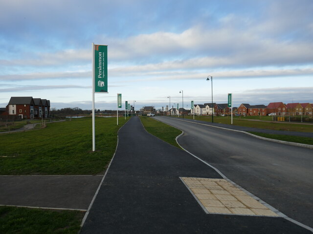
Hampton Hargate is a small residential area located in the district of Huntingdonshire, Cambridgeshire, England. Situated approximately three miles south of the town of Peterborough, Hampton Hargate is part of the larger Hampton township development.
The area is predominantly residential, recognized for its modern and well-maintained housing estates. Primarily consisting of detached and semi-detached houses, Hampton Hargate offers a variety of property sizes and styles to suit different needs. The estate also includes a number of apartment buildings, providing additional housing options.
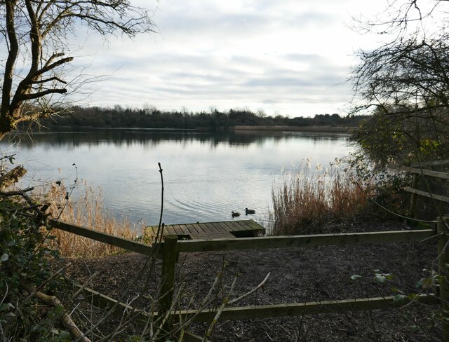
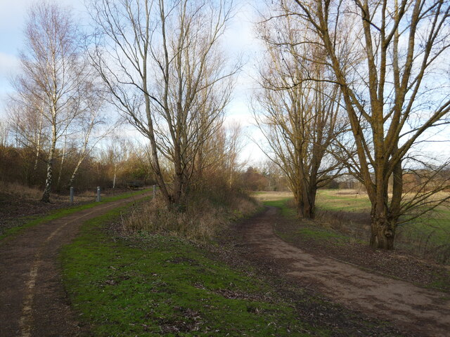
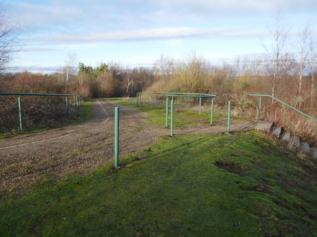
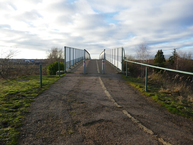
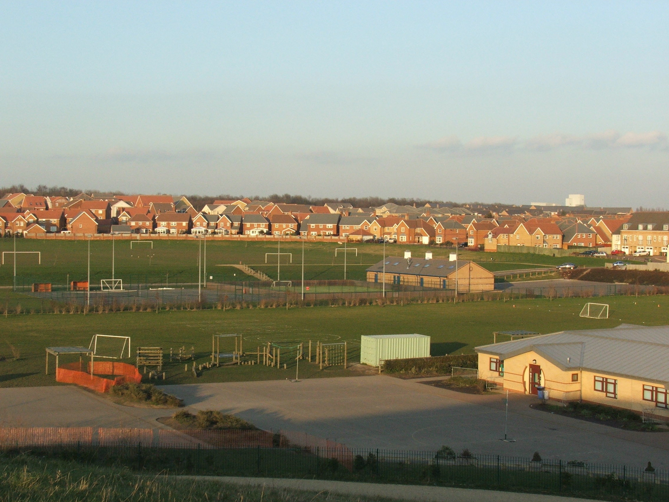
Hampton Hargate is known for its family-friendly atmosphere, with several green spaces and parks scattered throughout the area. These open areas provide recreational opportunities for residents, including playgrounds, sports fields, and picnic spots. The nearby Hampton Nature Reserve offers further opportunities to explore nature and enjoy outdoor activities.
The location of Hampton Hargate is advantageous for commuters, as it benefits from excellent transport links. The A1(M) motorway is easily accessible, providing convenient connections to nearby cities such as Cambridge and London. Additionally, Peterborough Railway Station is within close proximity, offering regular train services to various destinations.
Local amenities in Hampton Hargate include a primary school, convenience stores, a community center, and a medical practice. A larger retail park, known as Serpentine Green, is situated nearby, offering a wider range of shops, restaurants, and leisure facilities.
Overall, Hampton Hargate is a desirable residential area, offering a peaceful and modern living environment with excellent transport links and a range of amenities.
If you have any feedback on the listing, please let us know in the comments section below.
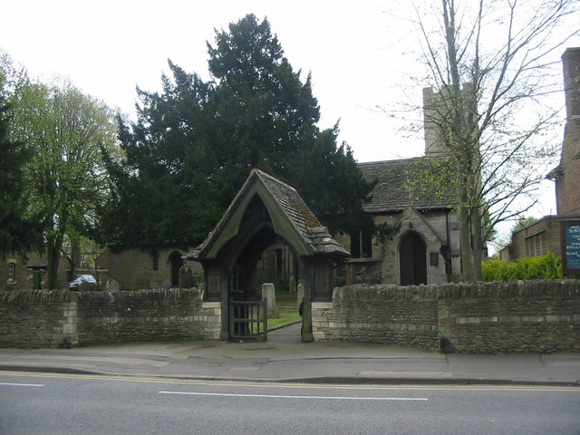
Hampton Hargate Images
Images are sourced within 2km of 52.542931/-0.2590604 or Grid Reference TL1895. Thanks to Geograph Open Source API. All images are credited.


Hampton Hargate is located at Grid Ref: TL1895 (Lat: 52.542931, Lng: -0.2590604)
Unitary Authority: Peterborough
Police Authority: Cambridgeshire
What 3 Words
///cult.speeds.intend. Near Yaxley, Cambridgeshire
Nearby Locations
Related Wikis

Serpentine Green
Serpentine Green is a shopping centre that opened 8 February 1999 in the Hampton Hargate district of Southern Peterborough in England. It is named after...
Hampton, Peterborough
Hampton is a developing township to the south of Peterborough, in the Peterborough district, in the ceremonial county of Cambridgeshire, England. ��2...

Hampton College, Peterborough
Hampton College is an all-through school for pupils aged 4 to 18, located in Hampton, Peterborough, England.The school opened to years 7 and 8 in September...
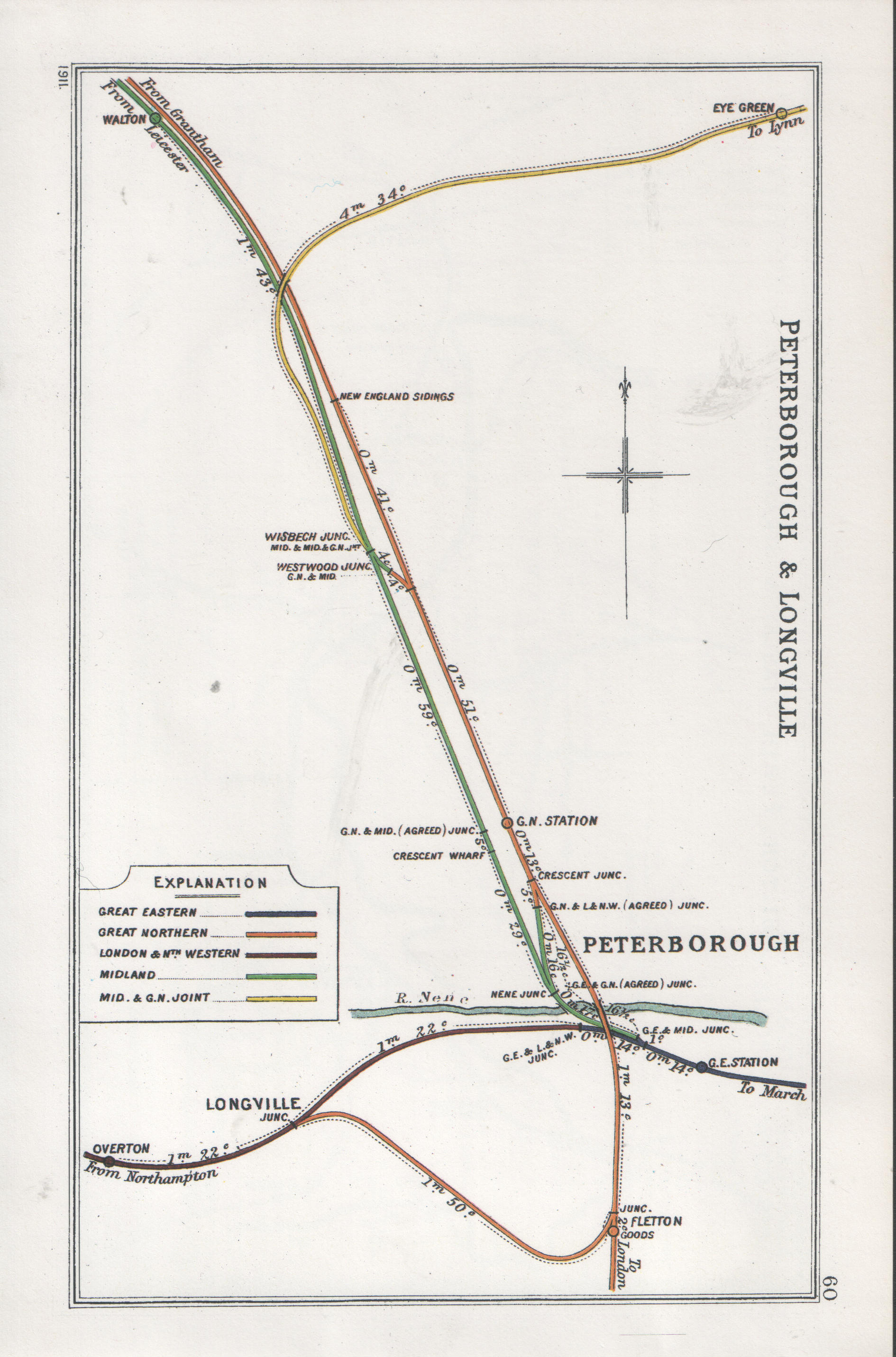
Fletton railway station
Fletton railway station was a railway station in Fletton, Cambridgeshire just south of Peterborough. It was once home to an extensive goods yard. ��2...
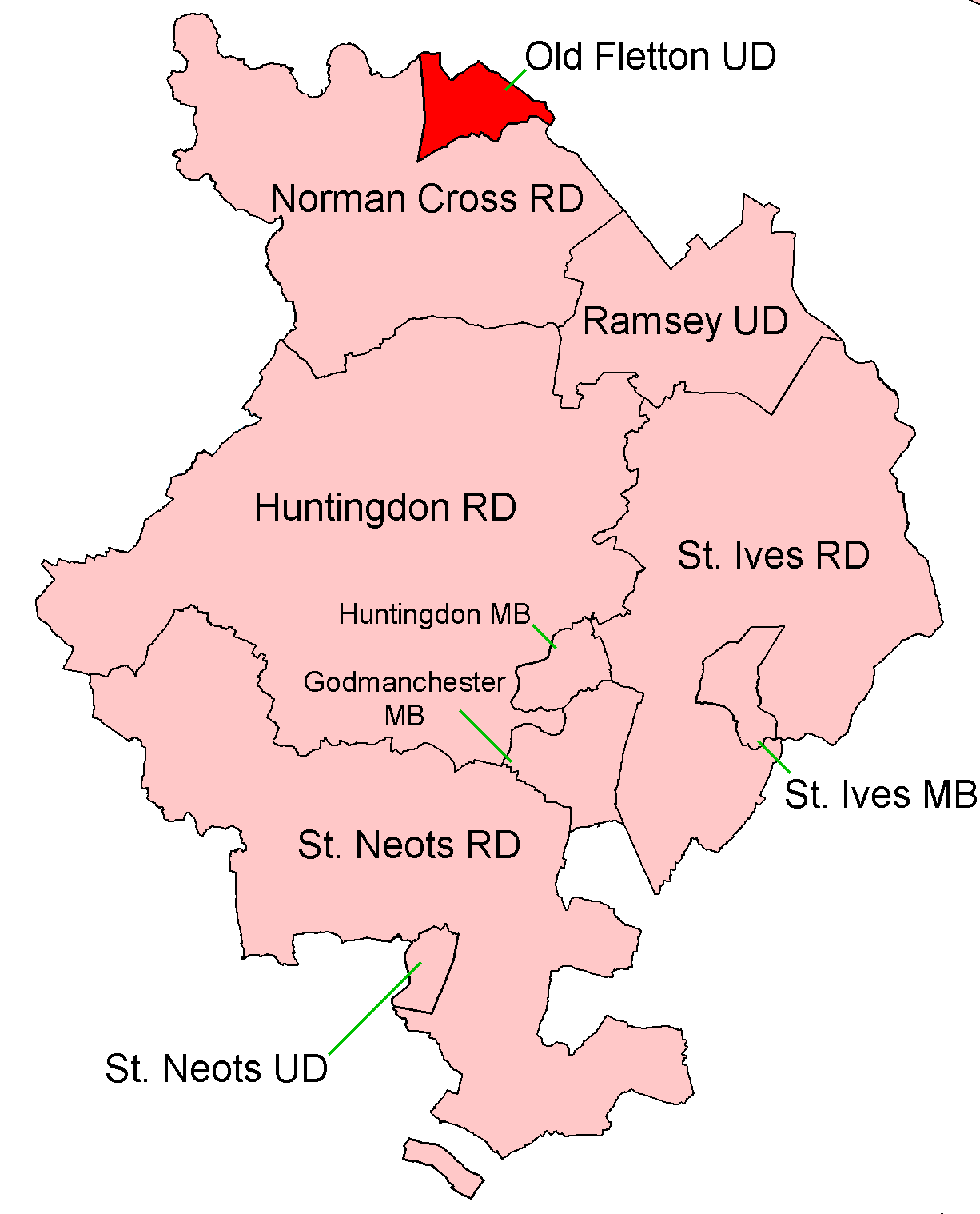
Old Fletton Urban District
Old Fletton was an urban district in the county of Huntingdonshire and then (from 1965) Huntingdon and Peterborough. The urban district was abolished in...
Orton Community Sixth Form
Orton Community Sixth Form is a consortium sixth form for Bushfield Community College and Orton Longueville School. == See also == List of schools in Peterborough...
Woodston, Peterborough
Woodston is a largely residential and industrial area of the city of Peterborough, in the ceremonial county of Cambridgeshire, England. For electoral purposes...
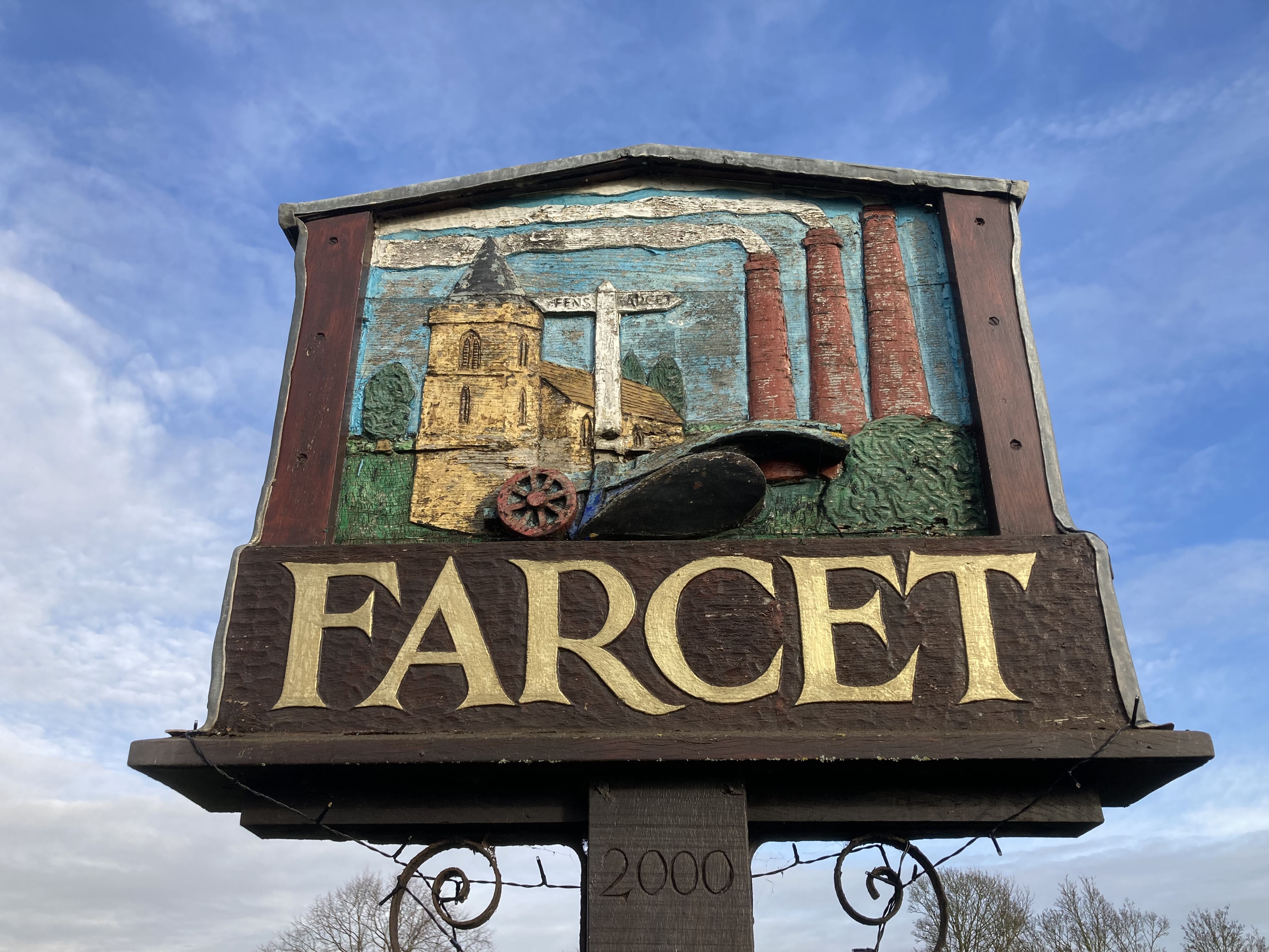
Farcet
Farcet is a village and civil parish in Cambridgeshire, England. Farcet lies approximately 2 miles (3 km) south of Peterborough city centre, between Yaxley...
Nearby Amenities
Located within 500m of 52.542931,-0.2590604Have you been to Hampton Hargate?
Leave your review of Hampton Hargate below (or comments, questions and feedback).