Halton Village
Settlement in Cheshire
England
Halton Village
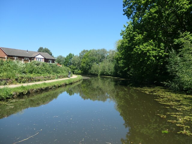
![Norton Bridge [No 72], from the south A turnover bridge on the Bridgewater canal [where the towpath changes sides].](https://s0.geograph.org.uk/geophotos/06/91/54/6915444_79450460.jpg)
Halton Village is a small village located in the county of Cheshire, England. Situated approximately 3 miles east of Runcorn, the village is nestled in the picturesque countryside, offering a peaceful and rural setting.
The village is known for its rich history, dating back to the medieval era. It is home to the Grade I listed Halton Castle, a magnificent fortress built in the 11th century, which stands atop a hill and offers panoramic views of the surrounding area. The castle has served various purposes throughout history, including as a courthouse and a prison.
The village itself is characterized by its charming, traditional architecture, with a mix of timber-framed and stone-built houses. The local community is close-knit and friendly, creating a welcoming atmosphere for both residents and visitors.
Halton Village offers a range of amenities to cater to the needs of its residents. It has a primary school, a village hall, and a local pub, providing a focal point for social gatherings. The village also has several walking trails and public green spaces, allowing residents to enjoy the beautiful countryside scenery.
In terms of transportation, Halton Village benefits from good road links, with easy access to the nearby towns of Runcorn and Widnes. The village is also well-connected to the wider region, with Liverpool and Manchester both within a reasonable distance.
Overall, Halton Village is a delightful and historic village that offers a tranquil and idyllic living environment amidst the stunning Cheshire countryside.
If you have any feedback on the listing, please let us know in the comments section below.
Halton Village Images
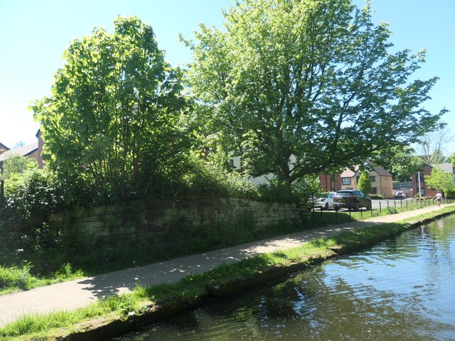
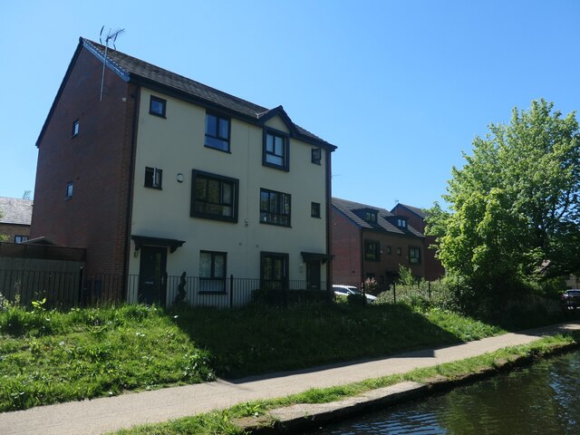
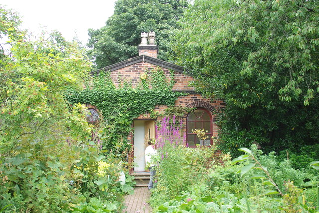
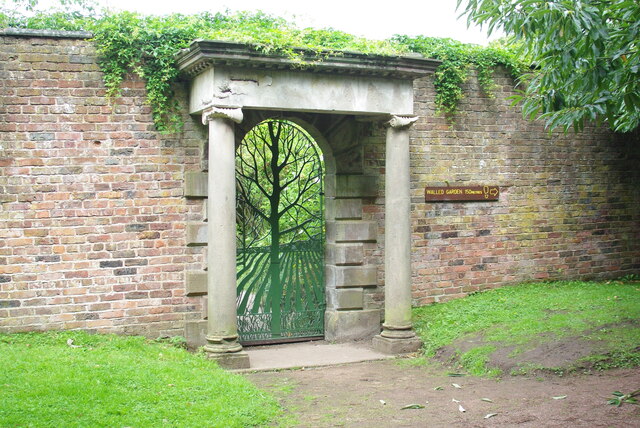
Images are sourced within 2km of 53.332258/-2.6911629 or Grid Reference SJ5481. Thanks to Geograph Open Source API. All images are credited.
![New Norton Townfield Bridge [no 73], from the south-east Carrying Windmill Hill Avenue North over the Bridgewater canal on the outskirts of runcorn.](https://s2.geograph.org.uk/geophotos/06/91/54/6915474_e4824372.jpg)
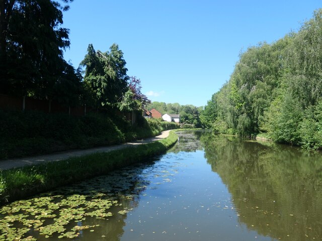
![Old Norton Townfield Bridge [no 74], from the south-east When built, this carried the only road north from Norton over the Bridgewater canal. Now it just carries a footpath.](https://s1.geograph.org.uk/geophotos/06/91/54/6915485_50c62343.jpg)
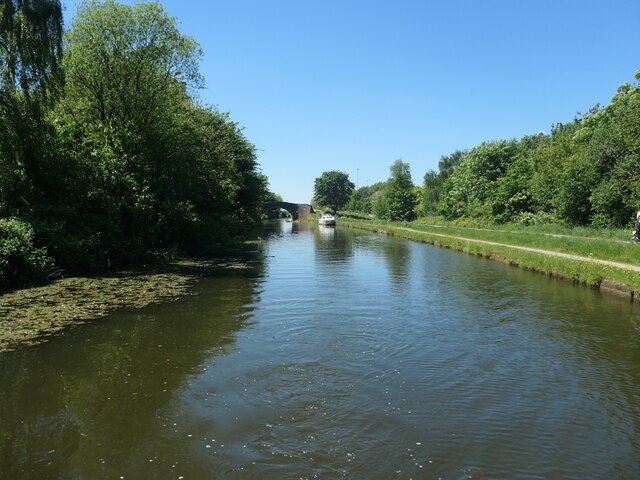
![Three road bridges across the Bridgewater canal, Runcorn The higher middle one carries the north-south Central Expressway [A533]. The nearest one carries a slip road from the east-west Bridgewater Expressway [A558] onto the Central Expressway. The farthest one carries a slip road from the Central Expressway onto the Bridgewater Expressway.](https://s3.geograph.org.uk/geophotos/06/91/61/6916143_a066fa76.jpg)
![Bird diverters on power lines, above the Bridgewater canal Just south-east of a railway bridge [no 70].](https://s0.geograph.org.uk/geophotos/06/91/61/6916160_fa5fa7c9.jpg)


Halton Village is located at Grid Ref: SJ5481 (Lat: 53.332258, Lng: -2.6911629)
Unitary Authority: Halton
Police Authority: Cheshire
What 3 Words
///hook.singles.tungsten. Near Halton, Cheshire
Nearby Locations
Related Wikis

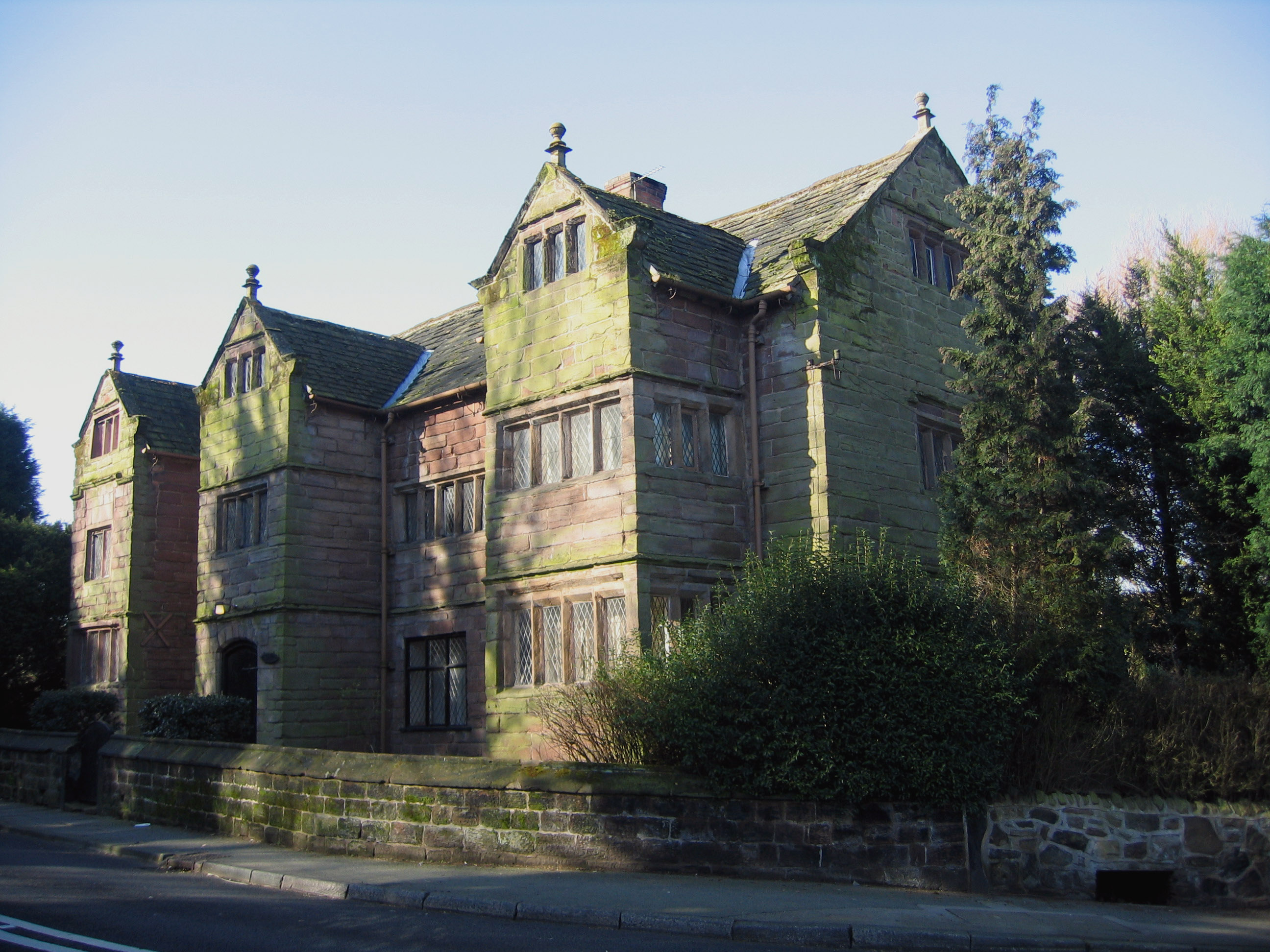
Halton Old Hall
Halton Old Hall is a house in the village of Halton in Runcorn, Cheshire, England. It is recorded in the National Heritage List for England as a designated...

Halton, Runcorn
Halton, formerly a separate village, is now part of the town of Runcorn, Cheshire, England. The name Halton has been assumed by the Borough of Halton...
Chesshyre Library
Chesshyre Library, founded in 1733 by Sir John Chesshyre, was one of the earliest free public libraries in England. It is now a meeting room attached to...

Halton Vicarage
Halton Vicarage is in Castle Road, Halton in the town of Runcorn, Cheshire, England. It is recorded in the National Heritage List for England as a designated...
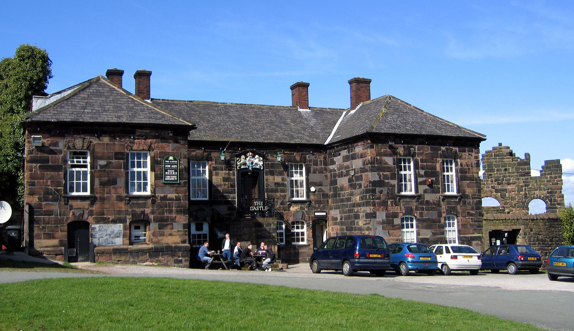
The Castle, Halton
The Castle, formerly known as The Castle Hotel, is a public house and former Georgian courthouse on Halton Hill in Halton, Runcorn, Cheshire, England....
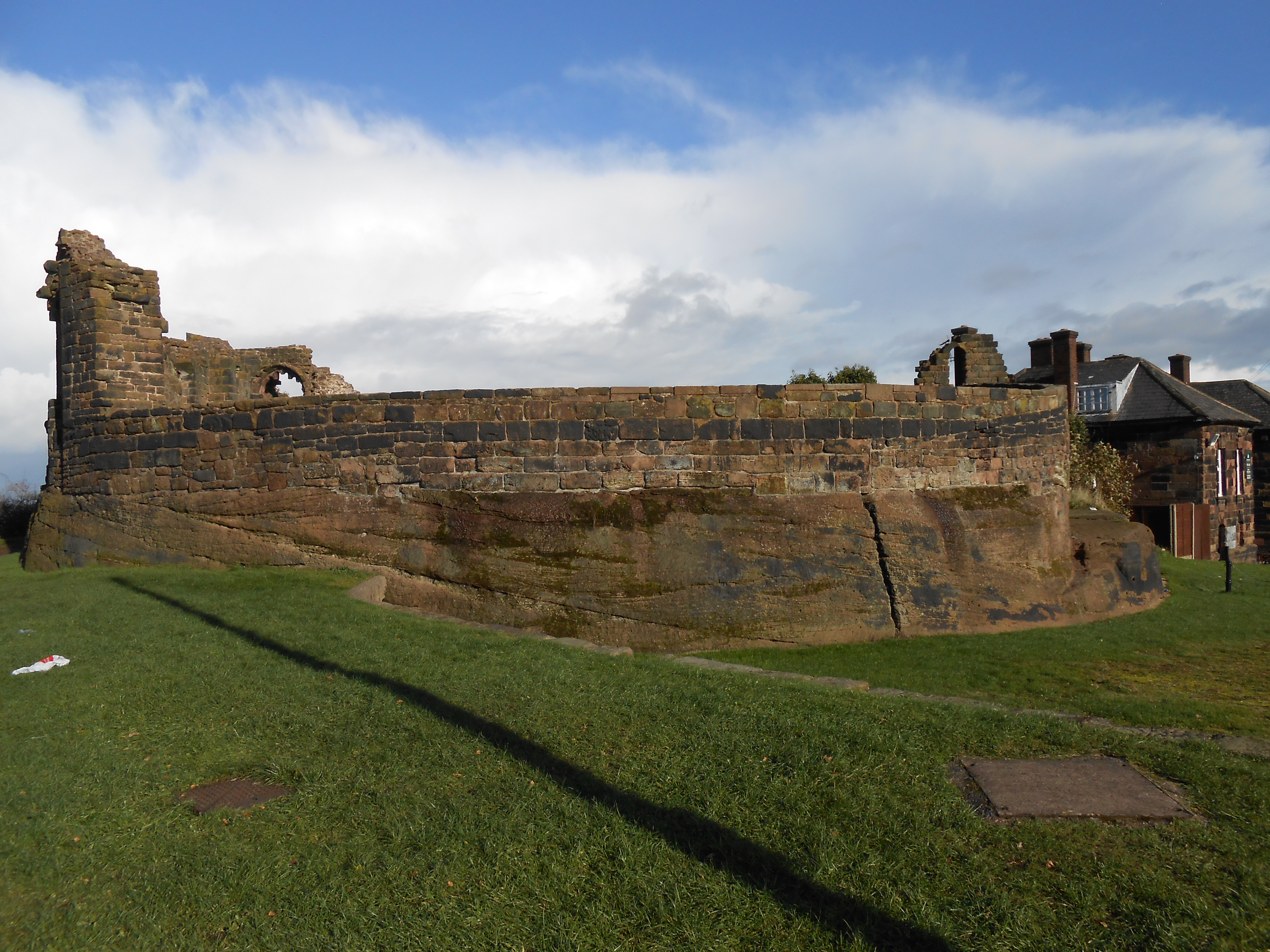
Halton Castle
Halton Castle is a castle in the village of Halton, part of the town of Runcorn, Cheshire, England. The castle is on the top of Halton Hill, a sandstone...

St Mary's Church, Halton
St Mary's Church is in Halton, which was formerly a separate village, but is now part of the town of Runcorn, Cheshire, England. It is an active Anglican...
Seneschal's House, Halton
The Seneschal's House stands at the corner of Halton Brow and Main Street in Runcorn, Liverpool City Region. It is recorded in the National Heritage List...
Nearby Amenities
Located within 500m of 53.332258,-2.6911629Have you been to Halton Village?
Leave your review of Halton Village below (or comments, questions and feedback).