Haggbeck

Settlement in Cumberland Carlisle

England

Haggbeck

Hopeshead Trig Point Flush Bracket S6891
Hopeshead Trig Point Flush Bracket S6891 Credit: thejackrustles

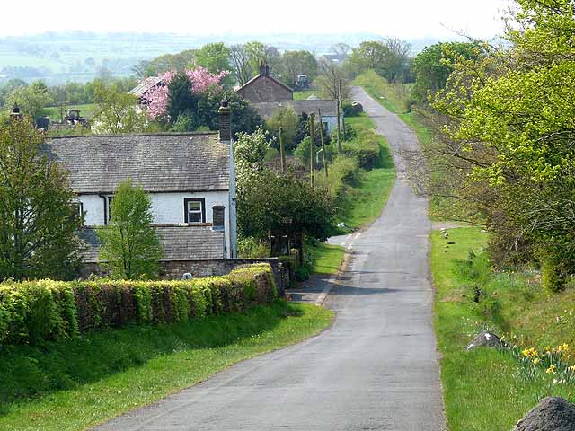
Haggbeck is a small village located in the county of Cumberland, in the northwest region of England. It is situated approximately 10 miles southeast of the city of Carlisle and is nestled in the picturesque countryside of Cumbria.

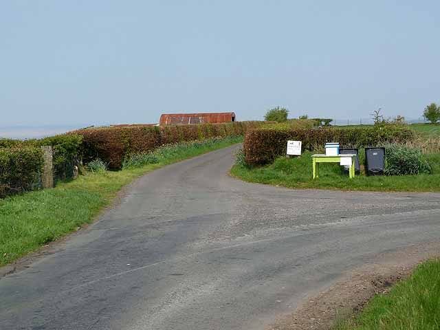
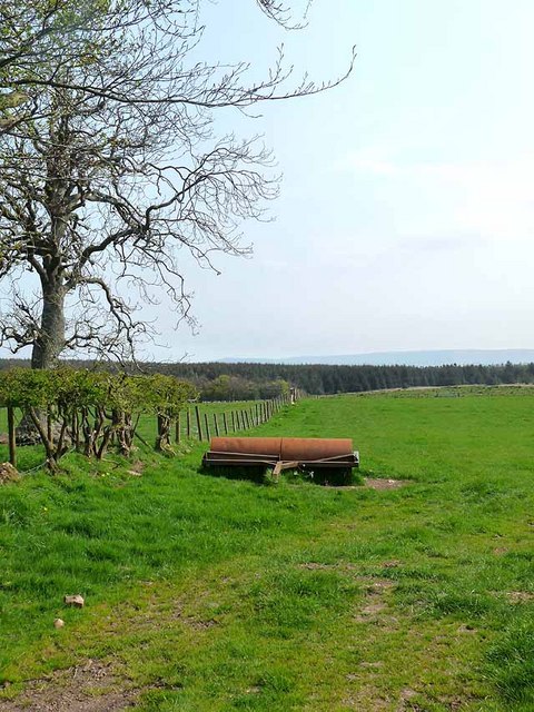
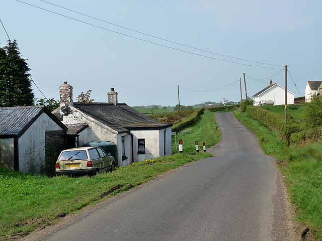
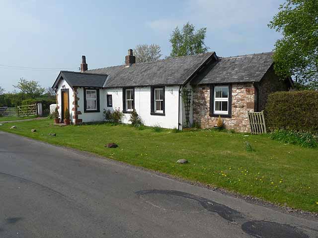
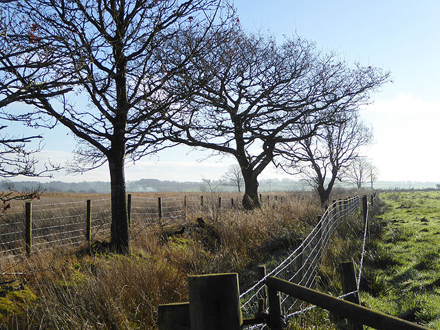
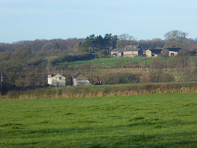
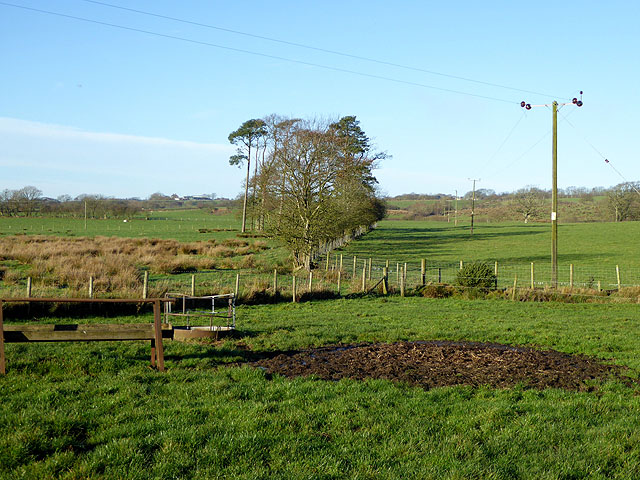
The village is known for its idyllic surroundings, surrounded by rolling hills, lush green fields, and charming rural landscapes. Haggbeck is predominantly a farming community, with agriculture being the primary industry in the area. The village is dotted with traditional stone houses and farm buildings, adding to its rustic charm.

Despite its small size, Haggbeck offers a range of amenities to its residents. The village has a local school, a post office, and a village hall, serving as a hub for community gatherings and events. The nearby town of Carlisle provides further amenities and services, including shops, supermarkets, and healthcare facilities.

Haggbeck is also renowned for its natural beauty and outdoor recreational opportunities. The village is close to the renowned Lake District National Park, which is famous for its stunning lakes, mountains, and hiking trails. This proximity allows residents and visitors to enjoy activities such as walking, cycling, fishing, and boating in the surrounding area.

In summary, Haggbeck is a peaceful and scenic village in Cumberland, characterized by its farming heritage, rural charm, and proximity to the beautiful landscapes of the Lake District.

If you have any feedback on the listing, please let us know in the comments section below.
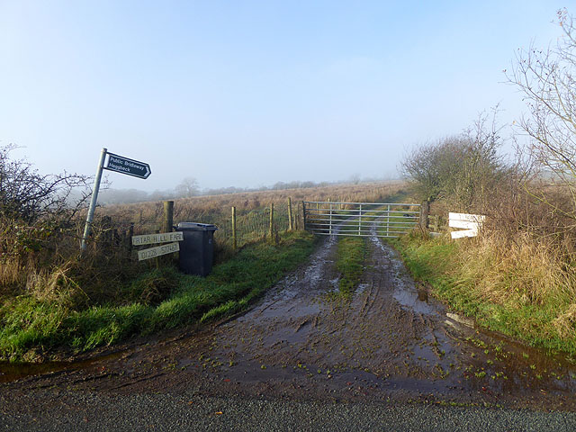
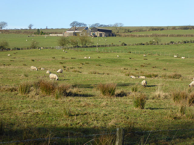
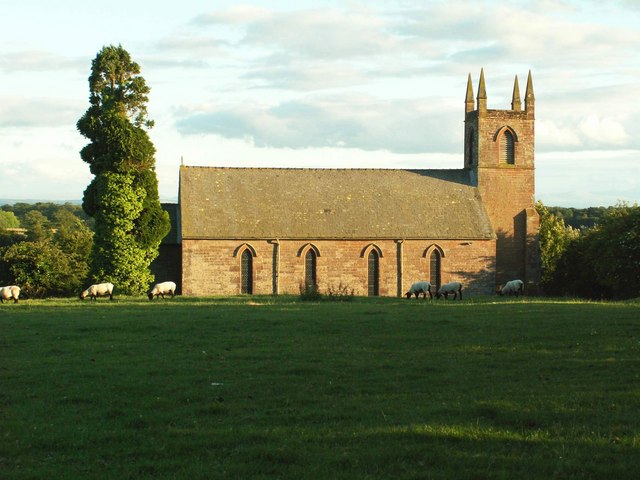
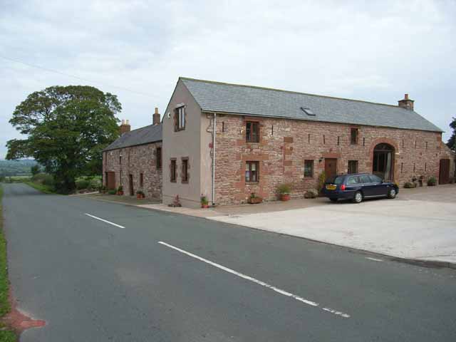
Haggbeck Images

Images are sourced within 2km of 55.055875/-2.828013 or Grid Reference NY4773. Thanks to Geograph Open Source API. All images are credited.

Hopeshead Trig Point Flush Bracket S6891
The way to Shawstown and New House Junction with the public road. Eggs for sale have been left out on the table, but there is unlikely to be much passing trade on this road!
The way to Shawstown and New House
Junction with the public road. Eggs for sale have been left out on the table, but there is unlikely to be much passing trade on this road!
Field and roller Near Moss House Farm. In the distance Kershope Forest can be seen.
Field and roller
Near Moss House Farm. In the distance Kershope Forest can be seen.
Valley of the Rae Burn Near Holywell.
Valley of the Rae Burn
Near Holywell.
Bridge over the Rae Burn At Holywell.
Bridge over the Rae Burn
At Holywell.
Cottage at Haggbeck The car is covered in green algae and obviously hasn't been anywhere for some time.
Cottage at Haggbeck
The car is covered in green algae and obviously hasn't been anywhere for some time.
Cottage opposite Westfield House
Westfield House and Mallsburn Seen from Malls Hill, Westfield House is the nearer building.
Westfield House and Mallsburn
Seen from Malls Hill, Westfield House is the nearer building.
Craig wind farm  Dumfriesshire Looking northwest near Catlowdy in Cumbria. Four wind turbines at Craig wind farm near Langholm in Dumfriesshire (in <a href="https://www.geograph.org.uk/gridref/NY3285">NY3285</a> and <a href="https://www.geograph.org.uk/gridref/NY3186">NY3186</a>). Taken on 18th September 2007 at 0730.
Craig wind farm Dumfriesshire
Looking northwest near Catlowdy in Cumbria. Four wind turbines at Craig wind farm near Langholm in Dumfriesshire (in NY3285 and NY3186). Taken on 18th September 2007 at 0730.
Ditch and field boundary near Shankhill
Middlefoot Farm With Smithsteads Farm <a href="https://www.geograph.org.uk/gridref/NY4672">NY4672</a> beyond.
Middlefoot Farm
With Smithsteads Farm NY4672 beyond.
Pine trees and electricity poles near Windyhill Farm
Driveway to Friar Hill Farm Advertising Gloucester Old Spot pigs.
Driveway to Friar Hill Farm
Advertising Gloucester Old Spot pigs.
Royalty Farm
Royalty Farm
Country road north of Mallsgate Farm Lined by beech hedges and birch trees.
Country road north of Mallsgate Farm
Lined by beech hedges and birch trees.
Country road north of Mallsgate Farm Flanked by beech trees.
Country road north of Mallsgate Farm
Flanked by beech trees.
Hopehead Trig Pillar
Road to Low Luckens Low Luckens is an organic farm and resource centre. See also <a href="https://www.geograph.org.uk/photo/17884">NY4972 : Low Luckens Farm & River Lyne</a>
Road to Low Luckens
Low Luckens is an organic farm and resource centre. See also NY4972 : Low Luckens Farm & River Lyne
Show me another place!

Haggbeck is located at Grid Ref: NY4773 (Lat: 55.055875, Lng: -2.828013)

Administrative County: Cumbria

District: Carlisle

Police Authority: Cumbria

What 3 Words

///february.willpower.initial. Near Longtown, Cumbria

Nearby Locations

Solport Haggbeck

Related Wikis

Solport

Solport is a civil parish in City of Carlisle district, Cumbria, England. In the 2011 UK Census it had a population of 166.It shares a parish council with...

Catlowdy

Catlowdy is a hamlet in Cumbria, England. It contains the Bessiestown Country Guest House. == References ==

Stapleton, Cumbria

Stapleton is a village and civil parish in the City of Carlisle district, in the county of Cumbria, in the North West of England. It falls under the jurisdiction...

Nicholforest

Nicholforest is a civil parish in Cumbria, England bordering Scotland. The population of the civil parish taken at the 2011 census was 372. The parish...

Brackenhill Tower

Brackenhill Tower is a peel tower, in the parish of Arthuret, in Cumbria, just north of the River Lyne. The site is about 2 miles (3.2 km) north of Kirklinton...

Alston Formation

The Alston Formation is a geologic formation in England. It preserves fossils dating back to the Viséan to Serpukhovian (Asbian, Brigantian and Pendleian...

Nook Pasture railway station

Nook Pasture railway station served the village of Canonbie, Dumfriesshire, Scotland, from 1864 to 1873 on the Waverley Line. The station was located...

Boltonfellend

Boltonfellend is a village in Cumbria, England. == External links == Media related to Boltonfellend at Wikimedia Commons

Nearby Amenities

Located within 500m of 55.055875,-2.828013
Power: pole
Lat/Long: 55.0536898/-2.8340265
Power: pole
Lat/Long: 55.0544281/-2.8328168
Power: pole
Lat/Long: 55.0550839/-2.8317531
Power: pole
Lat/Long: 55.0557384/-2.8306895
Power: pole
Lat/Long: 55.056371/-2.8296235
Power: pole
Lat/Long: 55.0569939/-2.828615
Power: pole
Lat/Long: 55.0576182/-2.8276137
Power: pole
Lat/Long: 55.0578281/-2.8260973
Power: pole
Lat/Long: 55.0580476/-2.8246384
Power: pole
Lat/Long: 55.0582425/-2.8232131
Power: pole
Lat/Long: 55.0584236/-2.8218955
Power: pole
Lat/Long: 55.0557673/-2.8280856
Power: pole
Lat/Long: 55.0552363/-2.8284928
Power: pole
Lat/Long: 55.0544994/-2.8289767
Power: pole
Lat/Long: 55.0537557/-2.8294606
Power: pole
Lat/Long: 55.0530037/-2.8300739
Power: pole
Lat/Long: 55.0522422/-2.8296906
Power: pole
Lat/Long: 55.0515478/-2.829384
The data included in this document is from www.openstreetmap.org. The data is made available under ODbL.

Have you been to Haggbeck?

Leave your review of Haggbeck below (or comments, questions and feedback).