Gungrog

Settlement in Montgomeryshire

Wales

Gungrog

Shropshire Union Canal (Montgomery Branch), S of Pool Quay
Shropshire Union Canal (Montgomery Branch), S of Pool Quay Credit: Colin Park

Gungrog is a small village located in Montgomeryshire, Wales. Situated near the town of Welshpool, Gungrog is known for its picturesque countryside and historic landmarks.

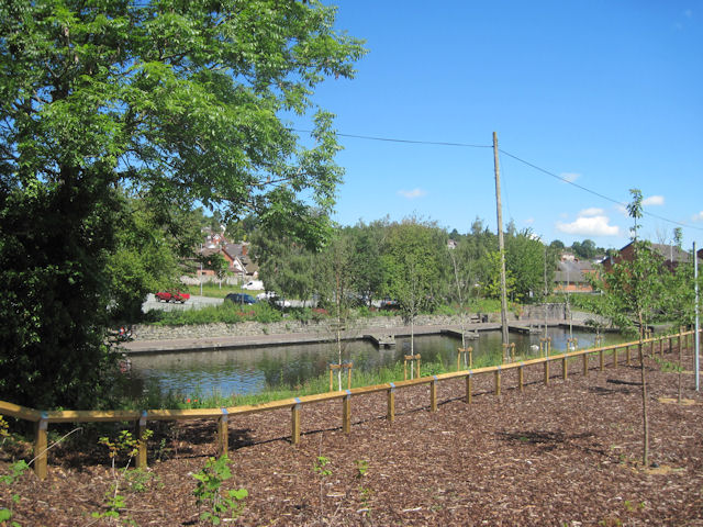
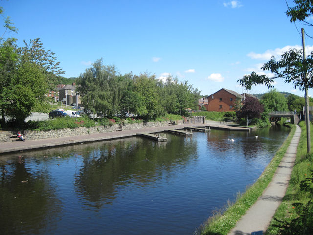
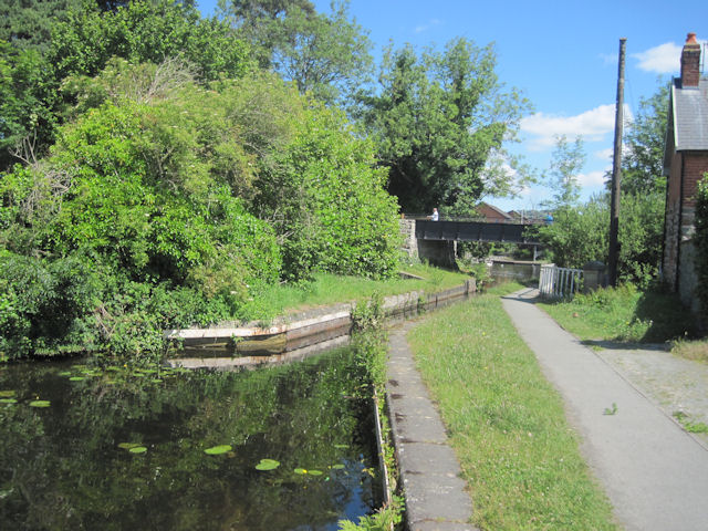
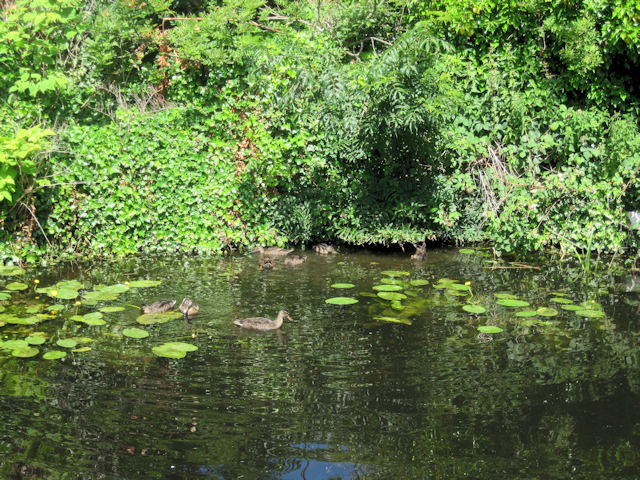
The village is surrounded by rolling hills and lush green fields, making it an ideal destination for nature lovers and outdoor enthusiasts. The nearby River Severn also provides opportunities for fishing and boating.

Gungrog is home to a number of historic buildings, including the 13th century Gungrog Hall and the 16th century St. Mary's Church. These architectural gems offer visitors a glimpse into the village's rich history and cultural heritage.

In terms of amenities, Gungrog has a small but thriving community with a local pub, post office, and convenience store. The village also has a primary school, making it an attractive location for families with young children.

Overall, Gungrog is a charming village that offers a peaceful retreat from the hustle and bustle of city life. Its rural setting, historic buildings, and friendly community make it a hidden gem in Montgomeryshire.

If you have any feedback on the listing, please let us know in the comments section below.
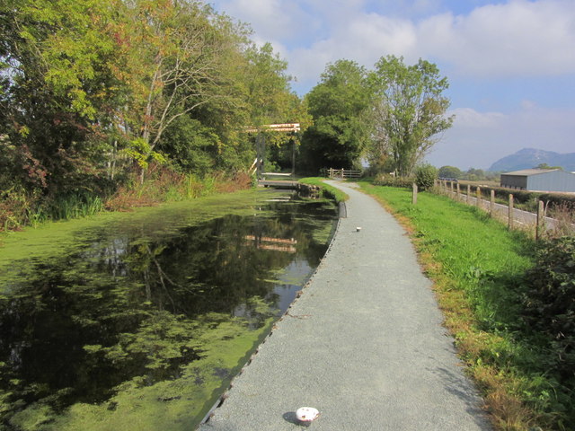
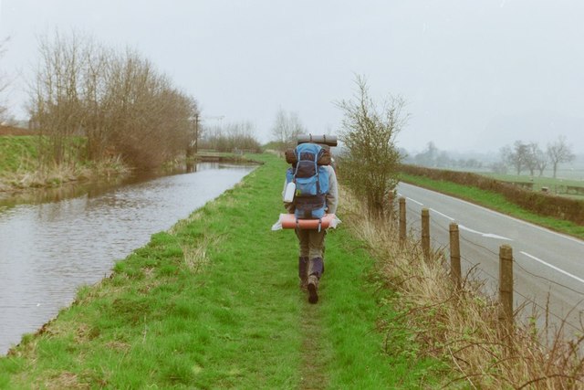
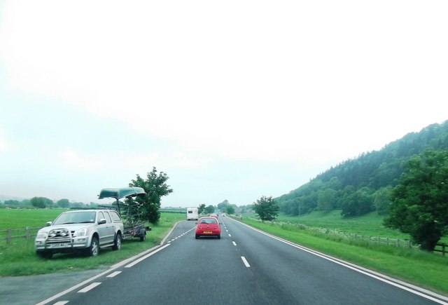
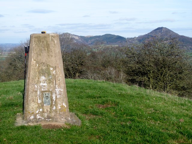
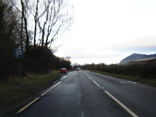
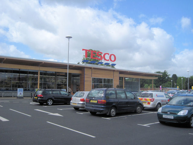
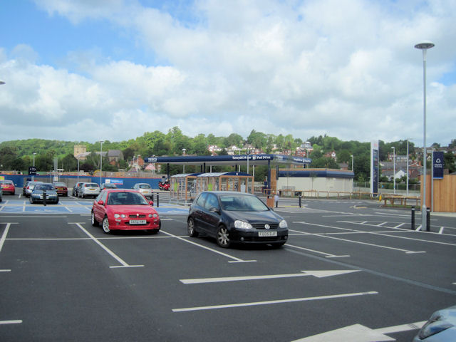
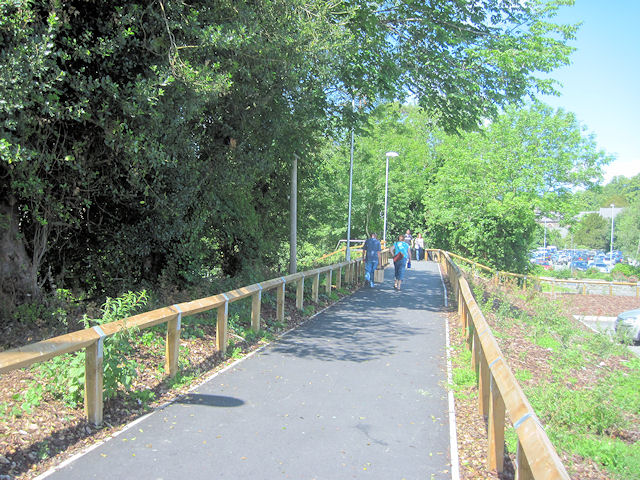
Gungrog Images

Images are sourced within 2km of 52.673092/-3.1274842 or Grid Reference SJ2308. Thanks to Geograph Open Source API. All images are credited.

Shropshire Union Canal (Montgomery Branch), S of Pool Quay
Offa's Dyke path by the Montgomery Canal, 1988 Approaching a lift bridge.
Offa's Dyke path by the Montgomery Canal, 1988
Approaching a lift bridge.
The A483
The A483
Yr Allt Parked by the canal for a longer work for my seventh HuMP of the day. I agree with CW, but correction has been applied since I printed off my data.
Name: Yr Allt
Hill number: 5186
Height: 232m / 761ft
Area: 30E: Bala to Welshpool
Class: Hu
Grid ref: SJ 24240 10006
Summit feature: no feature 250m S of trig point
Drop: 106m
Col: 126m  SJ218088
Yr Allt
Parked by the canal for a longer work for my seventh HuMP of the day. I agree with CW, but correction has been applied since I printed off my data. Name: Yr Allt Hill number: 5186 Height: 232m / 761ft Area: 30E: Bala to Welshpool Class: Hu Grid ref: SJ 24240 10006 Summit feature: no feature 250m S of trig point Drop: 106m Col: 126m SJ218088
A483 near Weir End
A483 near Weir End
Pont gamlas / Canal bridge Cerddwr yn agosau at bont wrth ddilyn Llwybr Clawdd Offa.

Walker approaching a bridge while walking the Offa's Dyke Path.
Pont gamlas / Canal bridge
Cerddwr yn agosau at bont wrth ddilyn Llwybr Clawdd Offa. Walker approaching a bridge while walking the Offa's Dyke Path.
Wide section of Montgomery Canal
Woodland on hill parallel to A483
On the canal towpath near Pool Quay With a distant view to the lovely Breidden Hills.
On the canal towpath near Pool Quay
With a distant view to the lovely Breidden Hills.
Looking southwards on the canal near Pool Quay The afternoon sun is bright and warm.
Looking southwards on the canal near Pool Quay
The afternoon sun is bright and warm.
Distant view to the Breidden Hills from a field near Pool Quay What stately edifices.
Distant view to the Breidden Hills from a field near Pool Quay
What stately edifices.
New Tesco store in Welshpool Situated on the site of the old livestock market this store was opened in March 2011
New Tesco store in Welshpool
Situated on the site of the old livestock market this store was opened in March 2011
Tesco car park Welshpool The filling station can be seen beyond the car park
Tesco car park Welshpool
The filling station can be seen beyond the car park
Footpath into town The new footpath from Tesco into town centre. Here crosses the canal via the refurbished old railway bridge
Footpath into town
The new footpath from Tesco into town centre. Here crosses the canal via the refurbished old railway bridge
Canal Wharf from Tesco car park
Canal Wharf from the old railway bridge On the Montgomeryshire Canal
Canal Wharf from the old railway bridge
On the Montgomeryshire Canal
Canal narrows under old railway bridge The bridge was taken away for refurbishment. It used to carry the town section of the Welshpool and Llanfair railway
Canal narrows under old railway bridge
The bridge was taken away for refurbishment. It used to carry the town section of the Welshpool and Llanfair railway
Ducks a plenty
Ducks a plenty
Show me another place!

Gungrog is located at Grid Ref: SJ2308 (Lat: 52.673092, Lng: -3.1274842)

Unitary Authority: Powys

Police Authority: Dyfed Powys

What 3 Words

///condense.greyhound.liner. Near Welshpool, Powys

Related Wikis

Gungrog

Gungrog is a geographical area which is part of Welshpool (English) Y Trallwng (Welsh), Powys in Wales. It is a stretch of elevated ground which includes...

Welshpool High School

Welshpool High School is located in Welshpool, Powys. It is a combined secondary school and sixth form, catering for pupils aged 11 to 19. In 2022, a new...

Buttington Oak

The Buttington Oak was a tree near to Offa's Dyke at Buttington, Wales, said to have been planted to mark the site of the Battle of Buttington between...
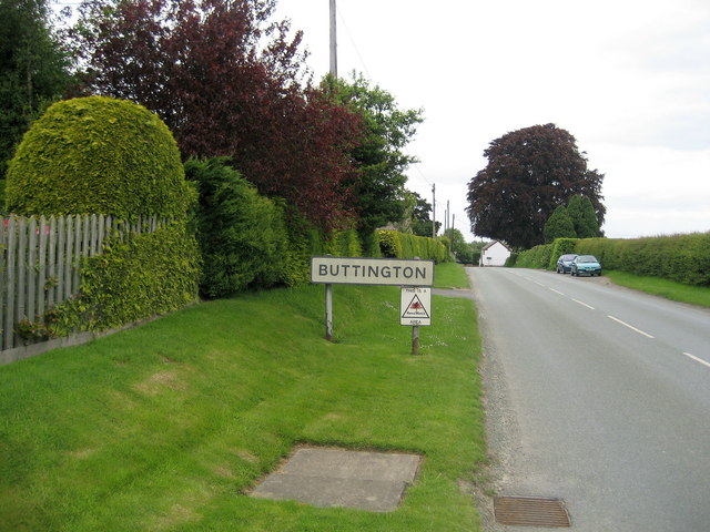
Buttington

Buttington (Welsh: Tal-y-bont) is a village in Powys, Wales, less than 3 km from Welshpool and about 300 m from the River Severn, in the community of Trewern...

Nearby Amenities

Located within 500m of 52.673092,-3.1274842
Power: pole
Lat/Long: 52.6693918/-3.1293897
Power: pole
Lat/Long: 52.6704055/-3.1306764
Power: pole
Lat/Long: 52.6712187/-3.1315373
Power: pole
Lat/Long: 52.6721519/-3.1326539
Power: pole
Lat/Long: 52.67223/-3.1340058
Fuel
Tuffins
Addr City: Welshpool
Addr Postcode: SY21 8SR
Brand: Texaco
Fuel HGV Diesel: yes
Fuel Diesel: yes
Fuel Gasoline: yes
Lat/Long: 52.6717104/-3.1230784
Turning Circle
Lat/Long: 52.6745964/-3.1279797
Power: pole
Lat/Long: 52.670349/-3.1223783
Tuffins
Addr City: Welshpool
Shop: supermarket
Start Date: 2018
Lat/Long: 52.671484/-3.123095
Bicycle Parking
Bicycle Parking: stands
Capacity: 10
Covered: yes
Lat/Long: 52.6714873/-3.1232204
Direction: 195
Generator Method: photovoltaic
Generator Output Electricity: yes
Generator Solar Modules: 14
Generator Source: solar
Generator Type: solar_photovoltaic_panel
Location: roof
Power: generator
Lat/Long: 52.6757751/-3.1280827
Fast Food
McDonald's
Addr Place: Buttington Cross Enterprise Park
Addr Postcode: SY21 8SL
Addr Unit: 11
Brand: McDonald's
Brand Wikidata: Q38076
Cuisine: burger
Drive Through: yes
Fhrs Id: 1378527
Operator: BCR Restaurants Ltd
Takeaway: yes
Website: https://www.mcdonalds.com/gb/en-gb/location/8261615.html
Lat/Long: 52.6720186/-3.1226036
The data included in this document is from www.openstreetmap.org. The data is made available under ODbL.

Have you been to Gungrog?

Leave your review of Gungrog below (or comments, questions and feedback).