Grittenham

Settlement in Wiltshire

England

Grittenham

Park Grounds, Brinkworth Road, Royal Wootton Bassett The chimney marks the position of Crapper and Sons Landfill Ltd. There is a subsidiary company on the same site called Mr Crapper's Potting Shed who supply fertiliser, compost and other materials including topsoil and horse bedding.
Park Grounds, Brinkworth Road, Royal Wootton Bassett Credit: Brian Robert Marshall

Grittenham is a small village located in Wiltshire, a county in South West England. It is situated approximately 6 miles northwest of the town of Chippenham and 12 miles south of Swindon. The village lies within the civil parish of Lyneham and has a population of around 500 residents.

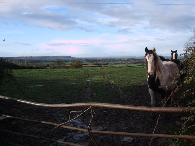
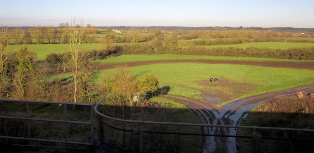
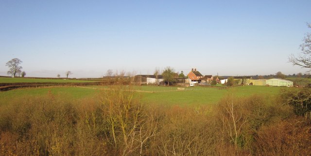
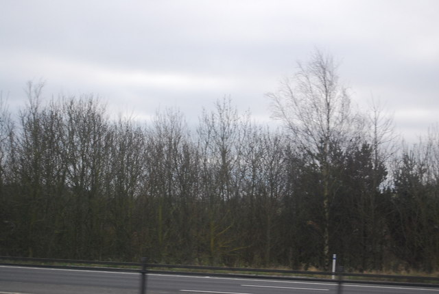
Grittenham is surrounded by picturesque countryside, offering residents and visitors a tranquil and scenic environment. The village is characterized by its charming rural setting, with a mix of traditional stone cottages and more modern housing. The local architecture reflects the village's history, with some buildings dating back several centuries.

Despite its small size, Grittenham has a strong sense of community and offers several amenities to its residents. These include a village hall, a pub, and a primary school. Additionally, the nearby towns of Chippenham and Swindon provide further access to a wider range of shops, services, and employment opportunities.

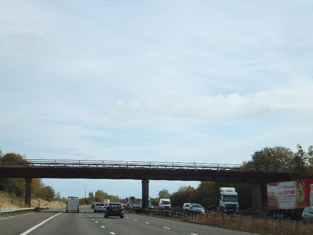
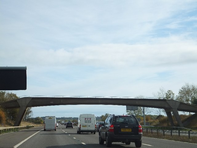
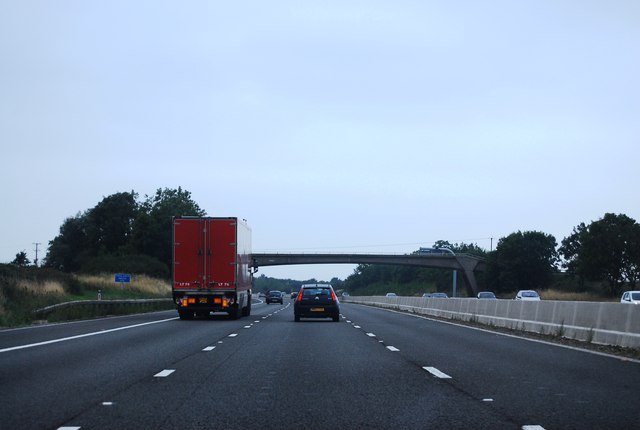
The village benefits from its location near the M4 motorway, providing convenient transportation links to larger cities such as Bristol and London. Grittenham also enjoys proximity to the Cotswolds, an Area of Outstanding Natural Beauty, making it an ideal base for those seeking outdoor pursuits like walking, cycling, and exploring the countryside.

Overall, Grittenham offers a peaceful and idyllic rural lifestyle, with easy access to nearby towns and stunning natural landscapes, making it an attractive place to live for those seeking a balance between rural living and urban convenience.

If you have any feedback on the listing, please let us know in the comments section below.
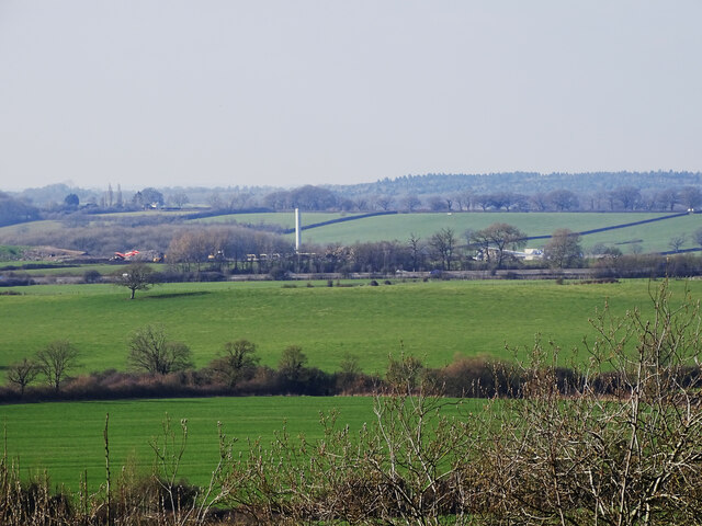
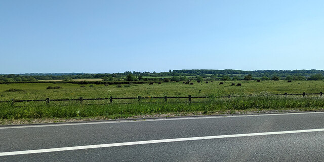
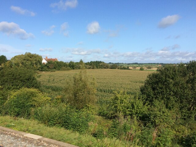
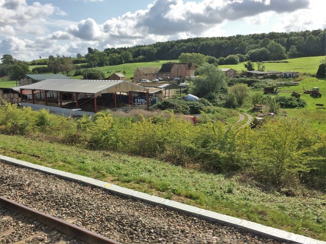
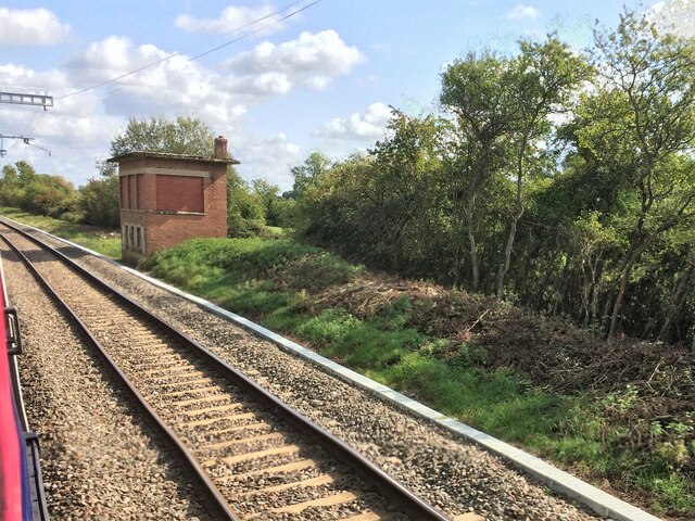
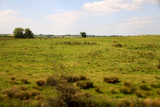
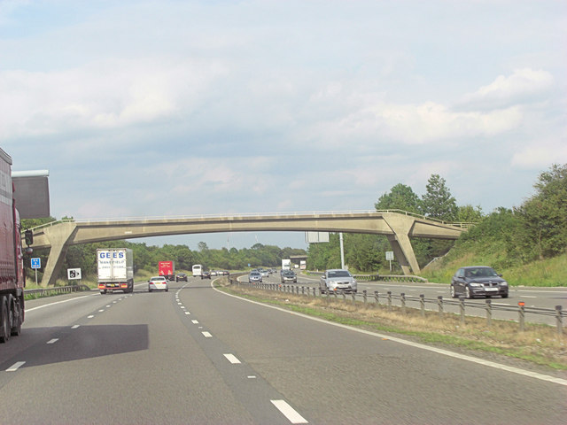
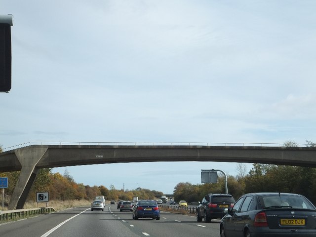
Grittenham Images

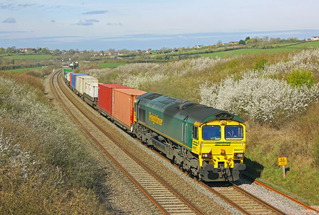
Images are sourced within 2km of 51.544075/-1.9476645 or Grid Reference SU0382. Thanks to Geograph Open Source API. All images are credited.

Park Grounds, Brinkworth Road, Royal Wootton Bassett The chimney marks the position of Crapper and Sons Landfill Ltd. There is a subsidiary company on the same site called Mr Crapper's Potting Shed who supply fertiliser, compost and other materials including topsoil and horse bedding.
Park Grounds, Brinkworth Road, Royal Wootton Bassett
The chimney marks the position of Crapper and Sons Landfill Ltd. There is a subsidiary company on the same site called Mr Crapper's Potting Shed who supply fertiliser, compost and other materials including topsoil and horse bedding.
Country south of M4 West of Royal Wootton Bassett.
Country south of M4
West of Royal Wootton Bassett.
From a Swindon-Bristol train, fields near Old Park Farm
From a Swindon-Bristol train, Hart Farm
From a Swindon-Bristol train, disused signal-box
Field at Old Park Farm
M4 footbridge - path from Manor Farm to Goddard's Farm crosses
Footbridge over M4 at Goddards Farm This bridge is very similar to that <a href="https://www.geograph.org.uk/photo/2671600">SU0182 : Footbridge over M4 from Olivemead Farm to Snell's Farm</a> a few hundred metres to the west.
Footbridge over M4 at Goddards Farm
This bridge is very similar to that SU0182 : Footbridge over M4 from Olivemead Farm to Snell's Farm a few hundred metres to the west.
Minor road crossing M4 near Grittenham
Farm bridge near Grittenham This small bridge is very similar in appearance to those a short way to the west. (<a href="https://www.geograph.org.uk/photo/2671600">SU0182 : Footbridge over M4 from Olivemead Farm to Snell's Farm</a> and <a href="https://www.geograph.org.uk/photo/2671605">SU0182 : Footbridge over M4 at Goddards Farm</a>)
Farm bridge near Grittenham
This small bridge is very similar in appearance to those a short way to the west. (SU0182 : Footbridge over M4 from Olivemead Farm to Snell's Farm and SU0182 : Footbridge over M4 at Goddards Farm)
Freight Train at Callow Hill Freightliner container train on the main line at Callow Hill.
Freight Train at Callow Hill
Freightliner container train on the main line at Callow Hill.
View over Dauntsey Vale from Callow Hill, Brinkworth A view over the Vale of Dauntsey taken from Callow Hill, Brinkworth. Lyneham Airfield was situated on top of the hill in the distance.
View over Dauntsey Vale from Callow Hill, Brinkworth
A view over the Vale of Dauntsey taken from Callow Hill, Brinkworth. Lyneham Airfield was situated on top of the hill in the distance.
Field at Hall Farm Taken from a bridge (the parapet in the foreground) over a farm track, on the railway line between Swindon and Chippenham. The farm is immediately on the other side of the bridge. Across the Grittenham Brook in <a href="https://www.geograph.org.uk/gridref/SU0382">SU0382</a> are scattered houses on the road between Tockenham Bridge and Ivy House Farm.
Field at Hall Farm
Taken from a bridge (the parapet in the foreground) over a farm track, on the railway line between Swindon and Chippenham. The farm is immediately on the other side of the bridge. Across the Grittenham Brook in SU0382 are scattered houses on the road between Tockenham Bridge and Ivy House Farm.
Chessley Hill Farm Seen from the Swindon-Chippenham railway line, with a wooded embankment in the foreground. The lane on the left is from Tockenham Bridge.
Chessley Hill Farm
Seen from the Swindon-Chippenham railway line, with a wooded embankment in the foreground. The lane on the left is from Tockenham Bridge.
The M4 The M4 is 190 miles long and runs from London to South Wales. Major centres close to the motorway include Reading, Swindon, Bristol, Newport, Cardiff and Swansea. The motorway was constructed between 1961 and 1996. The M4 originally crossed the first Severn Road Bridge. It has now been diverted to use the Second Severn Crossing and the motorway over the older bridge has been renumbered as M48.
Wikipedia: <span class="nowrap"><a title="http://en.wikipedia.org/wiki/M4_motorway" rel="nofollow ugc noopener" href="http://en.wikipedia.org/wiki/M4_motorway">Link</a><img style="margin-left:2px;" alt="External link" title="External link - shift click to open in new window" src="https://s1.geograph.org.uk/img/external.png" width="10" height="10"/></span>
The M4
The M4 is 190 miles long and runs from London to South Wales. Major centres close to the motorway include Reading, Swindon, Bristol, Newport, Cardiff and Swansea. The motorway was constructed between 1961 and 1996. The M4 originally crossed the first Severn Road Bridge. It has now been diverted to use the Second Severn Crossing and the motorway over the older bridge has been renumbered as M48. Wikipedia: LinkExternal link
Woodland by the M4
Woodland by the M4
Footbridge, M4 The M4 is 190 miles long and runs from London to South Wales. Major centres close to the motorway include Reading, Swindon, Bristol, Newport, Cardiff and Swansea. The motorway was constructed between 1961 and 1996. The M4 originally crossed the first Severn Road Bridge. It has now been diverted to use the Second Severn Crossing and the motorway over the older bridge has been renumbered as M48.
Wikipedia: <span class="nowrap"><a title="http://en.wikipedia.org/wiki/M4_motorway" rel="nofollow ugc noopener" href="http://en.wikipedia.org/wiki/M4_motorway">Link</a><img style="margin-left:2px;" alt="External link" title="External link - shift click to open in new window" src="https://s1.geograph.org.uk/img/external.png" width="10" height="10"/></span>
Footbridge, M4
The M4 is 190 miles long and runs from London to South Wales. Major centres close to the motorway include Reading, Swindon, Bristol, Newport, Cardiff and Swansea. The motorway was constructed between 1961 and 1996. The M4 originally crossed the first Severn Road Bridge. It has now been diverted to use the Second Severn Crossing and the motorway over the older bridge has been renumbered as M48. Wikipedia: LinkExternal link
Show me another place!

Grittenham is located at Grid Ref: SU0382 (Lat: 51.544075, Lng: -1.9476645)

Unitary Authority: Wiltshire

Police Authority: Wiltshire

What 3 Words

///fastening.machinery.sway. Near Royal Wootton Bassett, Wiltshire

Nearby Locations

Grittenham

Related Wikis

Cricklade and Wootton Bassett Rural District

Cricklade and Wootton Bassett Rural District was a rural district in the county of Wiltshire, England. It lay to the west and southwest of the town and...

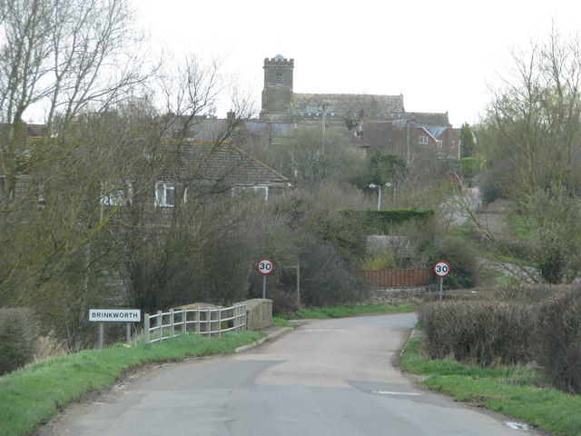
Brinkworth, Wiltshire

Brinkworth is a village and civil parish in northern Wiltshire, England. The village lies between Royal Wootton Bassett and Malmesbury, about 1 mile (1...

Wootton Bassett Museum

Wootton Bassett Museum is a local museum in the market town of Royal Wootton Bassett, Wiltshire, England. It is housed in the town hall which is a Grade...

Aldbourne Heritage Centre

Aldbourne Heritage Centre is a local museum in North-East Wiltshire, England, next to The Crown Inn in the centre of Aldbourne. == History == It opened...

Nearby Amenities

Located within 500m of 51.544075,-1.9476645
Phone
Check Date: 2022-12-20
Emergency: phone
Ref: 3399B
Lat/Long: 51.5480158/-1.9445745
Phone
Check Date: 2022-12-20
Emergency: phone
Ref: 3399A
Lat/Long: 51.5476029/-1.9444319
Power: pole
Lat/Long: 51.5407494/-1.9464509
Power: pole
Lat/Long: 51.5399478/-1.9469914
Power: pole
Lat/Long: 51.5452408/-1.9540013
The data included in this document is from www.openstreetmap.org. The data is made available under ODbL.

Have you been to Grittenham?

Leave your review of Grittenham below (or comments, questions and feedback).