Gott
Settlement in Shetland
Scotland
Gott
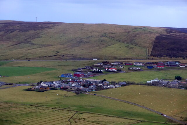
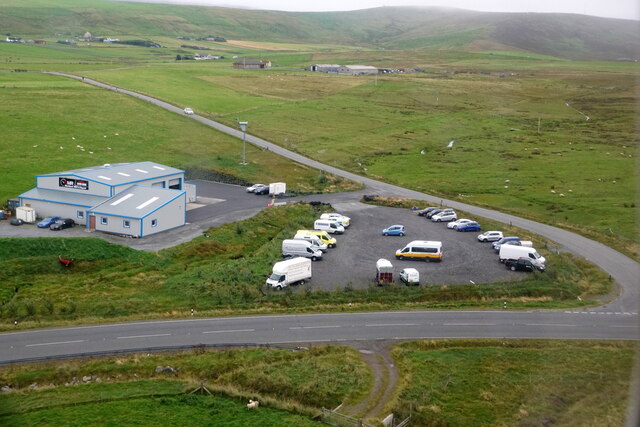
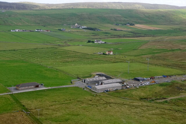
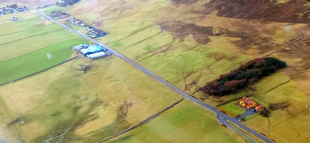
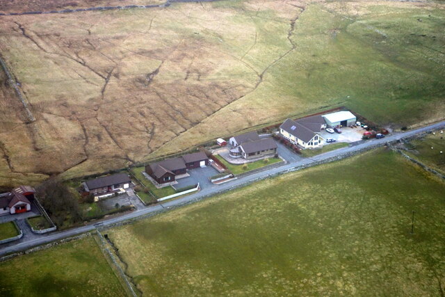
Gott is a small settlement located on the Isle of Shetland, which is the northernmost part of Scotland. Situated on the west coast of the main landmass, Gott is known for its picturesque landscapes and tranquility. The settlement is part of the parish of Sandsting and Aithsting, and it falls within the Shetland Islands Council area.
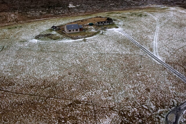
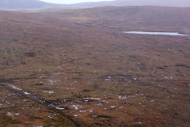
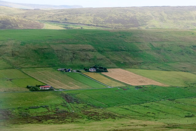
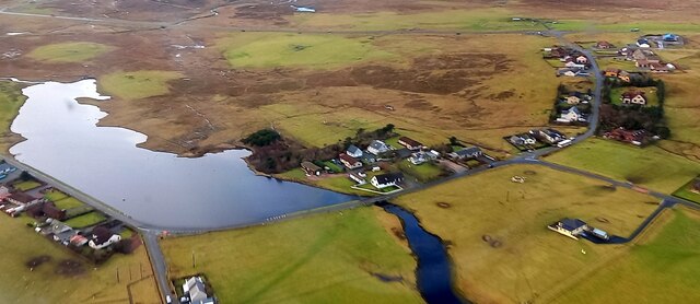
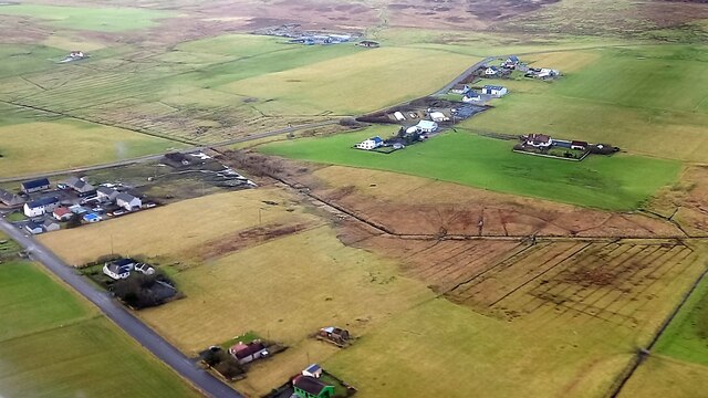
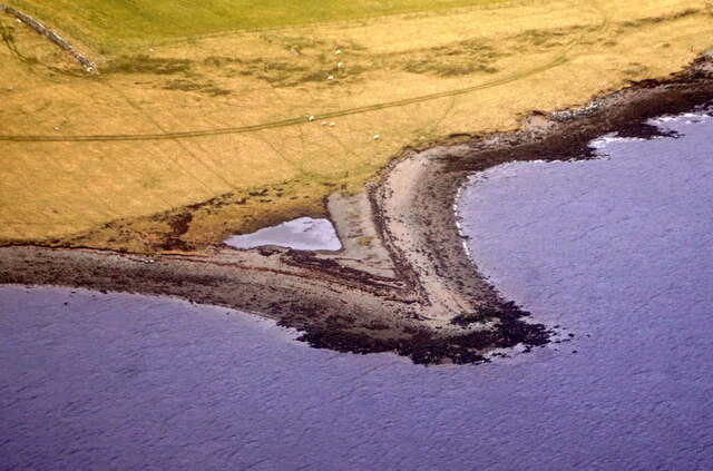
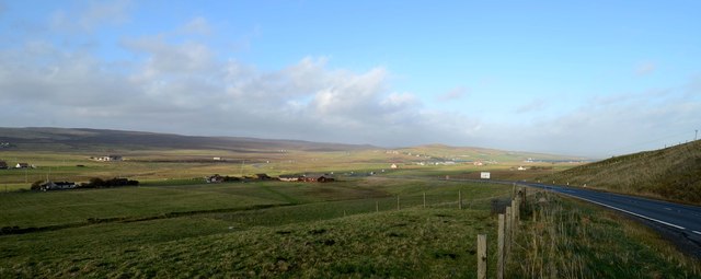
Gott is surrounded by stunning natural beauty, with rolling hills, lush green meadows, and breathtaking coastal views. The settlement itself consists of a handful of houses and cottages, which are scattered across the landscape. The population of Gott is relatively small, reflecting the rural nature of the area.
Life in Gott is closely intertwined with nature and the sea, as fishing and agriculture have traditionally been the main sources of livelihood for the residents. The nearby coastline offers opportunities for various water-based activities, such as fishing, boating, and wildlife spotting. The area is also rich in birdlife, making it a popular destination for birdwatchers.
Despite its small size, Gott is well-connected to the rest of Shetland, with regular bus services linking it to other settlements on the island. The nearby town of Lerwick, which is the largest settlement in Shetland, is approximately 20 miles away from Gott.
Visitors to Gott can expect a peaceful and idyllic experience, surrounded by stunning natural landscapes and the welcoming hospitality of the locals. The settlement offers a chance to escape the hustle and bustle of modern life and immerse oneself in the rugged beauty of Shetland's countryside.
If you have any feedback on the listing, please let us know in the comments section below.
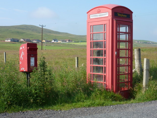
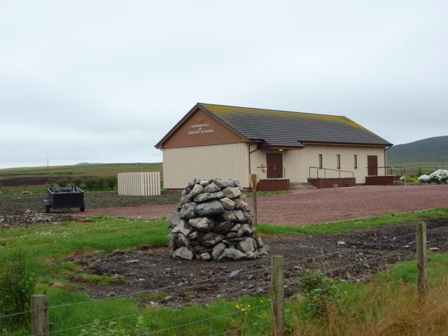
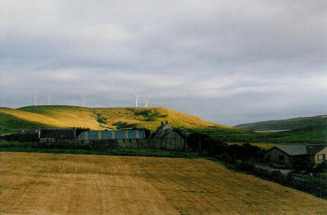
Gott Images
Images are sourced within 2km of 60.194354/-1.22294 or Grid Reference HU4345. Thanks to Geograph Open Source API. All images are credited.
Gott is located at Grid Ref: HU4345 (Lat: 60.194354, Lng: -1.22294)
Unitary Authority: Shetland Islands
Police Authority: Highlands and Islands
What 3 Words
///bypassed.crossword.support. Near Lerwick, Shetland Islands
Nearby Locations
Related Wikis

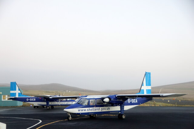
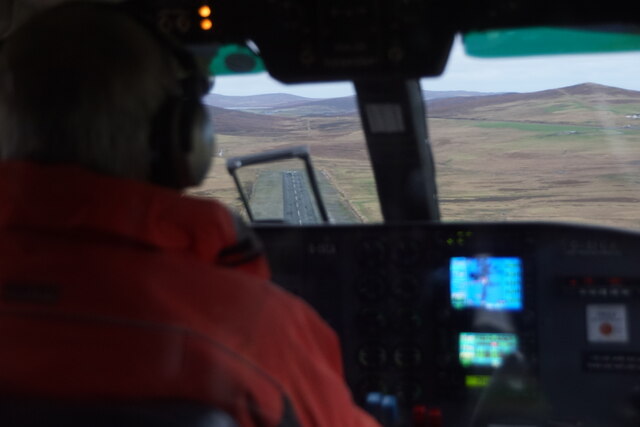
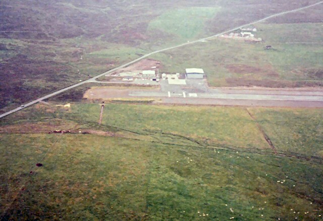
Tingwall Airport
Tingwall Airport (IATA: LWK, ICAO: EGET), also known as Lerwick/Tingwall Airport, is located in the Tingwall valley, near the village of Gott, 4 NM (7...

Veensgarth
Veensgarth (Old Norse: Vikingsgarðr, Viking farm, or Vingarðr, Meadow Farm), is a village in the Tingwall valley west of Lerwick on Mainland in Shetland...

Breiwick
Breiwick is a village on the island of Mainland in Shetland, Scotland. Breiwick is in the parish of Tingwall, and is 1.6 mi (2.5 km) north-east of Gott...
Tingwall, Shetland
Tingwall, (Old Norse: Þingvǫllr = Field of the Thing assembly) is a parish in Shetland, Scotland. Located mostly on the Shetland Mainland, the centre lies...
Nearby Amenities
Located within 500m of 60.194354,-1.22294Have you been to Gott?
Leave your review of Gott below (or comments, questions and feedback).