Goodrich Cross

Settlement in Herefordshire

England

Goodrich Cross

Gatehouse Lodge of Goodrich Court Goodrich Court itself is now demolished
Gatehouse Lodge of Goodrich Court Credit: Anthony Parkes

The requested URL returned error: 429 Too Many Requests

If you have any feedback on the listing, please let us know in the comments section below.

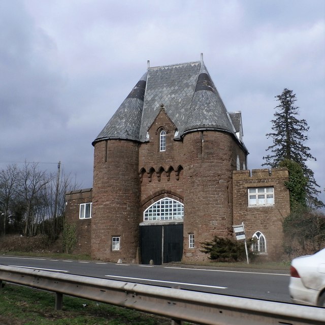
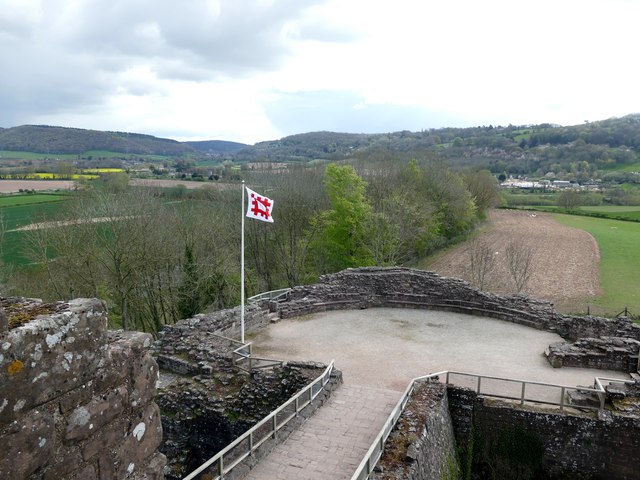
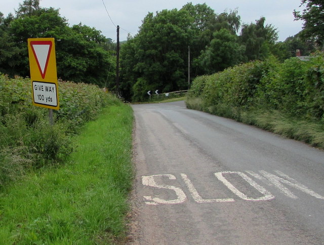
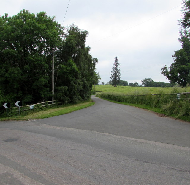
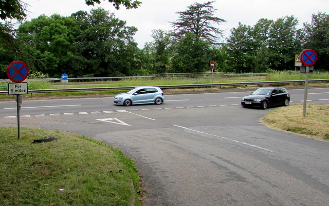
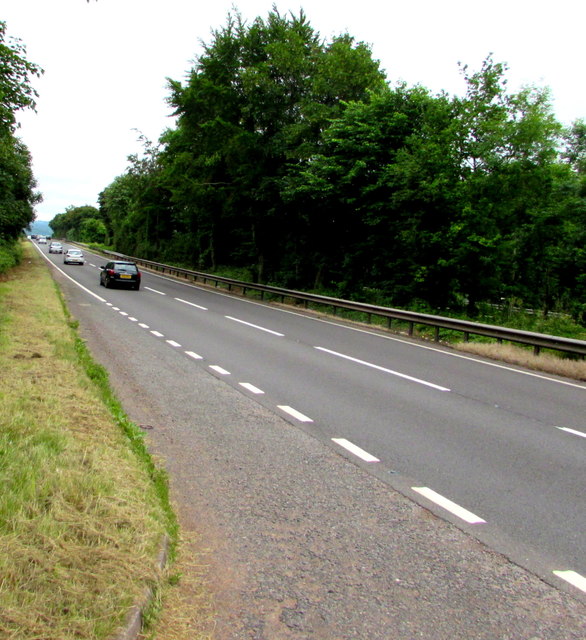
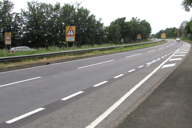
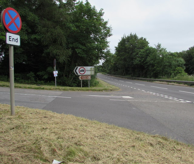
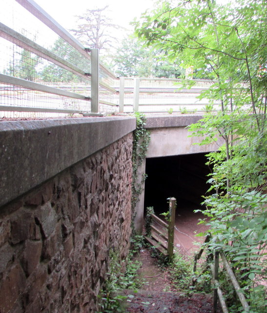
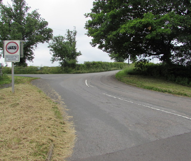
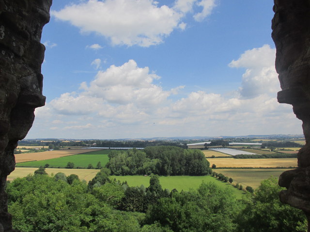
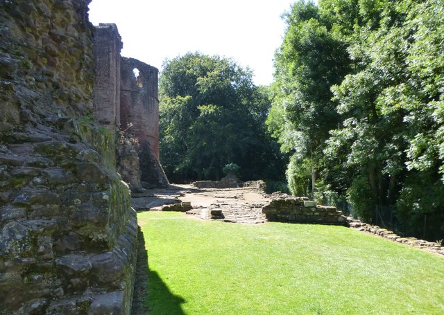
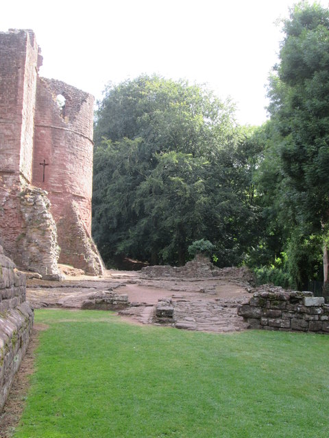
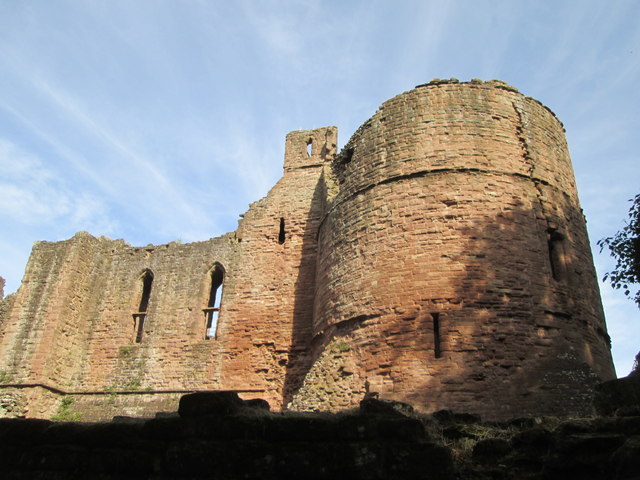
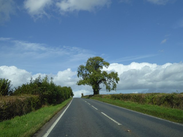
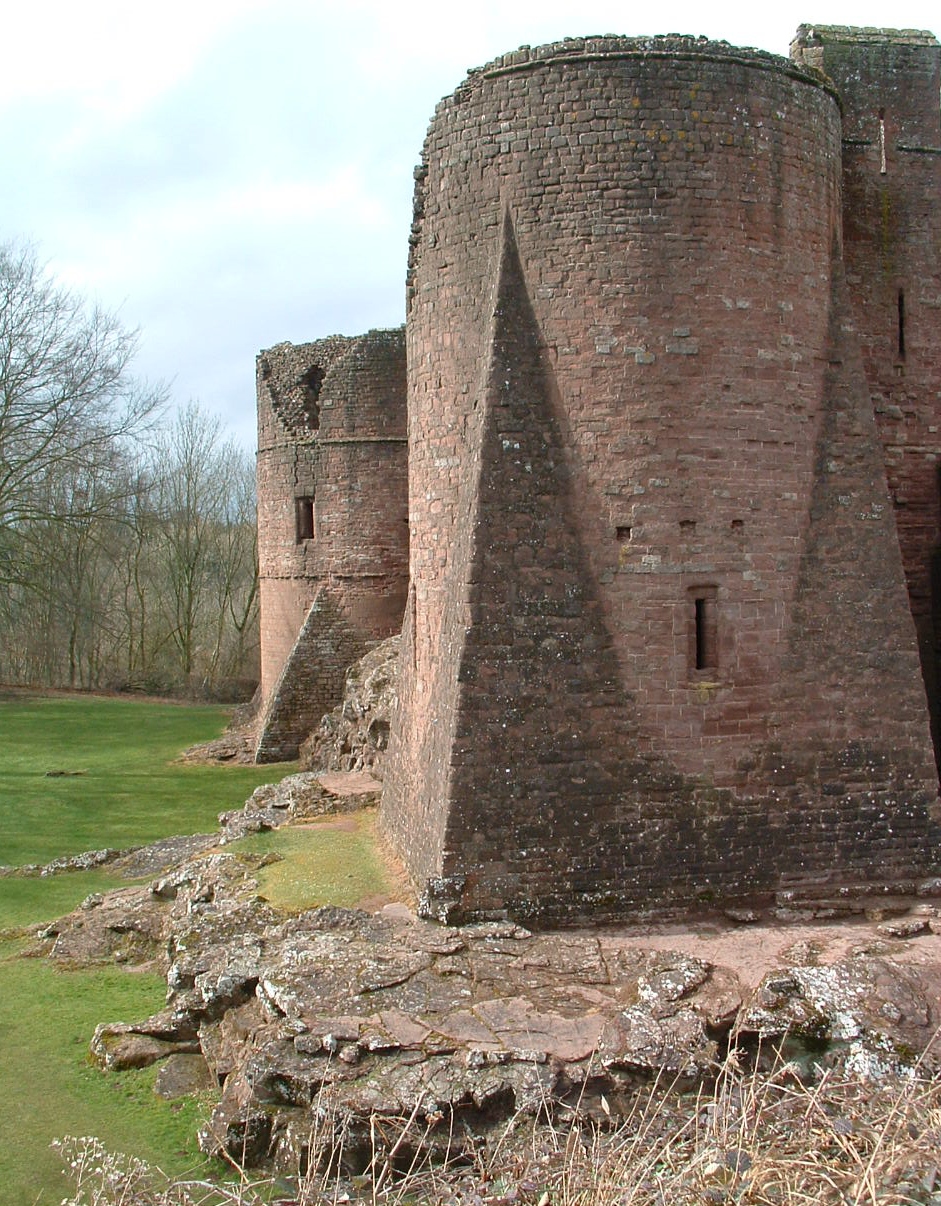
Goodrich Cross Images

Images are sourced within 2km of 51.86846/-2.6322253 or Grid Reference SO5619. Thanks to Geograph Open Source API. All images are credited.

Gatehouse Lodge of Goodrich Court Goodrich Court itself is now demolished
Gatehouse Lodge of Goodrich Court
Goodrich Court itself is now demolished
Flying the Flag at Goodrich Castle The English Heritage flag is flying on the barbican
Flying the Flag at Goodrich Castle
The English Heritage flag is flying on the barbican
Misaligned Give Way 100 Yards Ahead sign near Pencraig Probably misaligned after being hit by a vehicle, the sign is alongside the unclassified road from Goodrich on the descent to the A40 junction near Pencraig in south Herefordshire.
Misaligned Give Way 100 Yards Ahead sign near Pencraig
Probably misaligned after being hit by a vehicle, the sign is alongside the unclassified road from Goodrich on the descent to the A40 junction near Pencraig in south Herefordshire.
Home Farm access road, Pencraig Private road parallel with the east side of the A40, a few metres out of shot on the left.
Home Farm access road, Pencraig
Private road parallel with the east side of the A40, a few metres out of shot on the left.
Clearway for 5 miles sign, Pencraig At the A40 junction, facing the minor road from Goodrich.  
A clearway means no stopping except in an emergency or traffic jam.
The white arrow on the blue sign in the background indicates 
a mandatory left turn, onto the dual carriageway A40.
Clearway for 5 miles sign, Pencraig
At the A40 junction, facing the minor road from Goodrich. A clearway means no stopping except in an emergency or traffic jam. The white arrow on the blue sign in the background indicates a mandatory left turn, onto the dual carriageway A40.
Southbound carriageway of the A40 south of Pencraig Viewed from the corner of the minor road to Goodrich.
Southbound carriageway of the A40 south of Pencraig
Viewed from the corner of the minor road to Goodrich.
Warning signs - Concealed Access on the A40 near Pencraig The signs face vehicles on the northbound carriageway of the A40, on the approach to Pencraig. 
A Grade II listed building <a title="https://www.geograph.org.uk/photo/3421807" href="https://www.geograph.org.uk/photo/3421807">Link</a> is in the background on the right.
Warning signs - Concealed Access on the A40 near Pencraig
The signs face vehicles on the northbound carriageway of the A40, on the approach to Pencraig. A Grade II listed building Link is in the background on the right.
End of Clearway sign facing the A40 near Pencraig Facing the southbound carriageway of the A40, along which clearway regulations 
(no stopping except in an emergency or traffic jam) are in force. 
The minor road heads towards the south Herefordshire village of Goodrich, and Goodrich Castle.
End of Clearway sign facing the A40 near Pencraig
Facing the southbound carriageway of the A40, along which clearway regulations (no stopping except in an emergency or traffic jam) are in force. The minor road heads towards the south Herefordshire village of Goodrich, and Goodrich Castle.
Underpass below the A40 near Pencraig The east side of the underpass which gives walkers an alternative to crossing the  dual carriageway A40. <a title="https://www.geograph.org.uk/photo/5027195" href="https://www.geograph.org.uk/photo/5027195">Link</a>
Underpass below the A40 near Pencraig
The east side of the underpass which gives walkers an alternative to crossing the dual carriageway A40. Link
Weight limit 7.5 tonnes (except for access) sign facing the A40 near Pencraig The sign is alongside the minor road to Goodrich, facing the A40 junction in south Herefordshire.
Weight limit 7.5 tonnes (except for access) sign facing the A40 near Pencraig
The sign is alongside the minor road to Goodrich, facing the A40 junction in south Herefordshire.
Countryside view from Goodrich Castle's northern wall Fine vista.
Countryside view from Goodrich Castle's northern wall
Fine vista.
Northern walls of Goodrich Castle Unfortunately the trees have grown up to hide the impressive slopes to the River Wye. You can barely see the river from the top of the tower!
Northern walls of Goodrich Castle
Unfortunately the trees have grown up to hide the impressive slopes to the River Wye. You can barely see the river from the top of the tower!
Goodrich  Castle  site  of  the  17th  century  stables The stables were destroyed in a night raid by Parliamentarian soldiers on the 10th of March 1646. The southwest tower beyond.
Goodrich Castle site of the 17th century stables
The stables were destroyed in a night raid by Parliamentarian soldiers on the 10th of March 1646. The southwest tower beyond.
Goodrich  Castle  Southwest  Tower  and  Great  Hall Taken from the remains of the southwest turret and curtain wall over the site of the stables.
Goodrich Castle Southwest Tower and Great Hall
Taken from the remains of the southwest turret and curtain wall over the site of the stables.
Solitary tree by the A4137 Just south of the turning for Trebandy Farm
Solitary tree by the A4137
Just south of the turning for Trebandy Farm
Goodrich Castle Very similar to <a href="https://www.geograph.org.uk/photo/5101991">SO5720 : Goodrich  Castle  site  of  the  17th  century  stables</a> but showing more of the wall.
Goodrich Castle
Very similar to SO5720 : Goodrich Castle site of the 17th century stables but showing more of the wall.
Goodrich Castle: The River Wye from the entrance
Goodrich Castle: The massive entrance
Show me another place!

Goodrich Cross is located at Grid Ref: SO5619 (Lat: 51.86846, Lng: -2.6322253)

Unitary Authority: County of Herefordshire

Police Authority: West Merica

What 3 Words

///stealing.hound.coverage. Near Marstow, Herefordshire

Nearby Locations

Goodrich Cross

Related Wikis

Garren Brook

The Garren Brook is a small river in Herefordshire, England which rises beneath the eastern slopes of Garway Hill. It flows east to the hamlet of Orcop...

Goodrich, Herefordshire

Goodrich is a village in south Herefordshire, England close to Gloucestershire and the Forest of Dean, situated near the River Wye at grid reference SO574193...

Rocklands House, Goodrich

Rocklands House near Goodrich, Herefordshire, England, is a building of historical significance and is Grade II listed on the English Heritage Register...

Marstow

Marstow is a hamlet and civil parish in south eastern Herefordshire, England. Most of the parish is within the Wye Valley Area of Outstanding Natural Beauty...

Nearby Amenities

Located within 500m of 51.86846,-2.6322253
Motorway Junction
Lat/Long: 51.8680446/-2.631264
Motorway Junction
Lat/Long: 51.8666576/-2.6333212
Bus Stop
Cross Keys PH
Naptan AtcoCode: 2090A044102
Naptan Bearing: SW
Naptan CommonName: Cross Keys PH
Naptan Indicator: Bus lay-by on A40
Naptan Landmark: Cross Keys PH
Naptan NaptanCode: heradagd
Naptan Street: A40
Naptan Verified: no
Source: naptan_import
Lat/Long: 51.8668844/-2.6324582
Bus Stop
Dean Swift Close
Naptan AtcoCode: 2090A18526
Naptan Bearing: N
Naptan CommonName: Dean Swift Close
Naptan Indicator: Ross bound stop
Naptan Landmark: Dean Swift Close
Naptan NaptanCode: heragtwg
Naptan Street: A40
Naptan Verified: no
Source: naptan_import
Lat/Long: 51.8679214/-2.632718
Bus Stop
Cross Keys PH
Naptan AtcoCode: 2090A20490
Naptan Bearing: SE
Naptan BusStopType: CUS
Naptan CommonName: Cross Keys PH
Naptan Indicator: opp
Naptan Landmark: Cross Keys PH
Naptan NaptanCode: herapjgm
Naptan Street: N/K
Naptan Verified: no
Source: naptan_import
Lat/Long: 51.8678785/-2.630655
Turning Circle
Lat/Long: 51.868158/-2.6339293
Parking
Parking: layby
Lat/Long: 51.8653289/-2.6371023
Post Box
Operator: Royal Mail
Operator Wikidata: Q638098
Post Box Type: wall
Ref: NP25 515
Royal Cypher: EIIR
Royal Cypher Wikidata: Q33102113
Lat/Long: 51.8676474/-2.6305478
Power: pole
Source: bing
Lat/Long: 51.8687358/-2.628943
Power: pole
Source: bing
Lat/Long: 51.8711107/-2.6329395
Power: pole
Source: bing
Lat/Long: 51.8705973/-2.6322717
Power: pole
Source: bing
Lat/Long: 51.8701485/-2.6313087
Power: pole
Source: bing
Lat/Long: 51.8695589/-2.6300052
Power: pole
Source: bing
Lat/Long: 51.8682936/-2.6283395
Material: wood
Power: pole
Source: bing
Lat/Long: 51.8677504/-2.6276261
Power: pole
Source: bing
Lat/Long: 51.8665016/-2.6260221
Parking
Parking: layby
Lat/Long: 51.8652411/-2.6364854
Goodrich Cross
Place: hamlet
Lat/Long: 51.8674884/-2.6312769
Power: pole
Lat/Long: 51.8681429/-2.6380169
Power: pole
Lat/Long: 51.8688219/-2.6370648
Power: pole
Transformer: distribution
Lat/Long: 51.8694662/-2.6361448
Power: pole
Lat/Long: 51.8701584/-2.6352006
Power: pole
Lat/Long: 51.8707811/-2.6337308
Power: pole
Transformer: distribution
Lat/Long: 51.8683921/-2.6325184
Power: pole
Lat/Long: 51.8688666/-2.6321979
Power: pole
Lat/Long: 51.8694612/-2.6317433
Power: pole
Lat/Long: 51.8721358/-2.6341599
Power: pole
Lat/Long: 51.8714038/-2.6271459
Power: pole
Lat/Long: 51.8706254/-2.6274383
Power: pole
Lat/Long: 51.8698769/-2.6277548
Power: pole
Lat/Long: 51.869072/-2.6280499
Power: pole
Transformer: distribution
Lat/Long: 51.8648122/-2.6283154
Power: pole
Lat/Long: 51.8653355/-2.6275349
Power: pole
Lat/Long: 51.865801/-2.626867
Power: pole
Lat/Long: 51.866957/-2.6255286
Power: pole
Transformer: distribution
Lat/Long: 51.8674473/-2.6253328
Give Way
Direction: backward
Lat/Long: 51.8684828/-2.6323276
Defibrillator
Access: yes
Booth: KX100
Covered: booth
Defibrillator Location: inside old phone box in Goodrich Cross
Disused Amenity: telephone
Emergency: defibrillator
Man Made: telephone_box
Lat/Long: 51.8685102/-2.6321892
The data included in this document is from www.openstreetmap.org. The data is made available under ODbL.

Have you been to Goodrich Cross?

Leave your review of Goodrich Cross below (or comments, questions and feedback).