Godstone

Settlement in Staffordshire East Staffordshire

England

Godstone

Bridleway and Fog This bridleway leads south east off Painleyhill.
Bridleway and Fog Credit: Michael Patterson

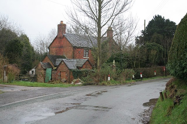
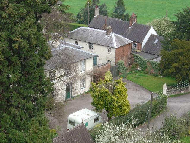
Godstone is a charming village located in the county of Staffordshire, England. Situated approximately 10 miles south-east of Stafford, it is nestled amidst the stunning rural landscapes of the picturesque countryside. The village is known for its tranquil and idyllic setting, making it a popular destination for those seeking a peaceful retreat.

One of the notable landmarks in Godstone is St. Michael and All Angels Church, a beautiful medieval building that dates back to the 12th century. It showcases remarkable architectural features, including a Norman doorway and a stunning stained glass window. The church serves as a focal point for the community and offers a glimpse into the village's rich history.

In terms of amenities, Godstone boasts a handful of local shops and businesses, providing residents with essential services and convenience. The village also has a primary school, providing education for the younger population.

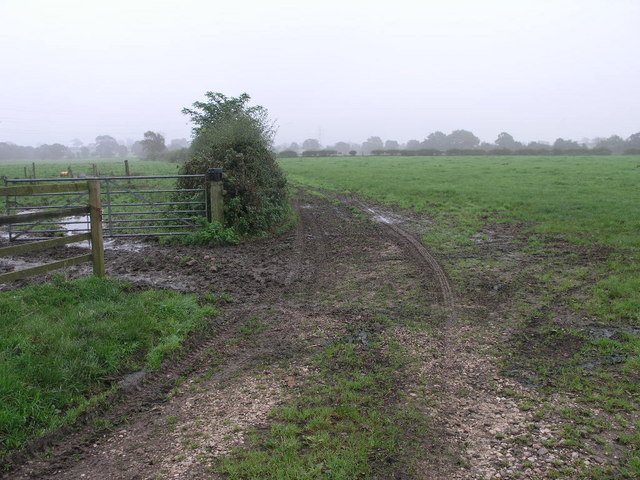
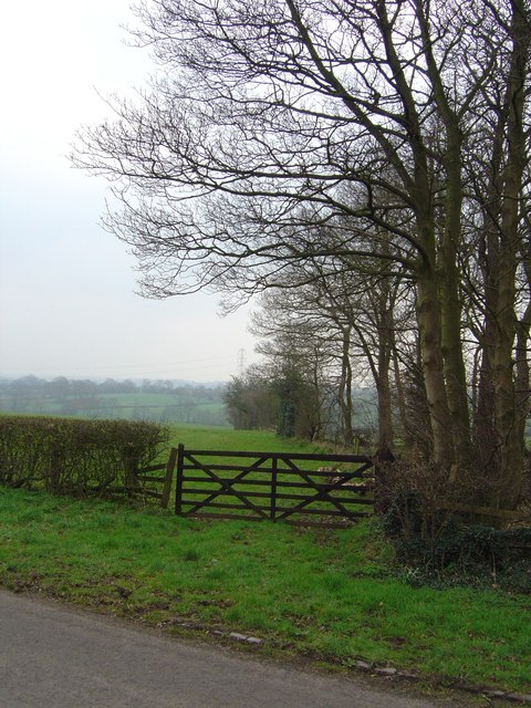
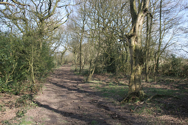
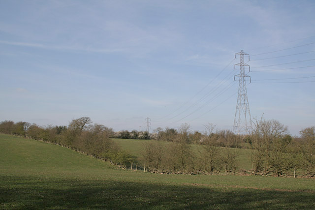
Nature enthusiasts will find themselves drawn to the surrounding countryside, which offers ample opportunities for outdoor activities such as hiking, cycling, and exploring the nearby Cannock Chase, an Area of Outstanding Natural Beauty. The area is known for its diverse wildlife and breathtaking scenery, attracting visitors from far and wide.

Overall, Godstone, Staffordshire, with its serene atmosphere, historic church, and proximity to stunning natural landscapes, offers a peaceful and picturesque retreat for residents and visitors alike.

If you have any feedback on the listing, please let us know in the comments section below.

Godstone Images

Images are sourced within 2km of 52.904981/-1.9751738 or Grid Reference SK0134. Thanks to Geograph Open Source API. All images are credited.

Bridleway and Fog This bridleway leads south east off Painleyhill.
Bridleway and Fog
This bridleway leads south east off Painleyhill.
Hens and River The River Blithe passes through this field just to the west of Field.
Hens and River
The River Blithe passes through this field just to the west of Field.
Muddy Path This muddy footpath leads across the fields from Bearsbrook.
Muddy Path
This muddy footpath leads across the fields from Bearsbrook.
Barn Croft at Dods Leigh Rather overgrown but apparently still inhabited.
Barn Croft at Dods Leigh
Rather overgrown but apparently still inhabited.
Leigh Level Crossing The station has disappeared, but a signalbox <a title="https://www.geograph.org.uk/photo/3748106" href="https://www.geograph.org.uk/photo/3748106">Link</a> has been (?re-)built on adjacent premises.
Leigh Level Crossing
The station has disappeared, but a signalbox Link has been (?re-)built on adjacent premises.
The lane to Upper Leigh The building on the right appears to have been an alehouse. It carries a stone with the following inscription:
"Walk in my friend and Drink with me
Heres ALE as good as e'er you see
Refresh yourself it is no CRIME
Stay not too long to Spend your time
Francis Sherratt 1751"
Update (via an external correspondent) - until the 1960s this was the Railway Tavern serving Bass products. (Clearly not the original name as there was no railway in 1751!)
The lane to Upper Leigh
The building on the right appears to have been an alehouse. It carries a stone with the following inscription: "Walk in my friend and Drink with me Heres ALE as good as e'er you see Refresh yourself it is no CRIME Stay not too long to Spend your time Francis Sherratt 1751" Update (via an external correspondent) - until the 1960s this was the Railway Tavern serving Bass products. (Clearly not the original name as there was no railway in 1751!)
The Derby to Stoke railway at Bent's Farm Bridge
The Star Inn at Church Leigh Church Leigh, Lower Leigh, Upper Leigh and Dods Leigh share one church!
The Star Inn at Church Leigh
Church Leigh, Lower Leigh, Upper Leigh and Dods Leigh share one church!
Hothill Lane near Withington
Farmers Arms at Withington The half-timbered construction is genuine!
Farmers Arms at Withington
The half-timbered construction is genuine!
Field Gate Gate into the pasture land beside small wood.
Field Gate
Gate into the pasture land beside small wood.
Birchwood Park The farmland at Birchwood Park.
Birchwood Park
The farmland at Birchwood Park.
Field of Dandelions All Saints church and Church Leigh village above a field of dandelions.
Field of Dandelions
All Saints church and Church Leigh village above a field of dandelions.
Footpath near Dod's Leigh This path had clearly been recently smoothed using something like a small bulldozer, making it far more walkable than would clearly have been the case a few weeks earlier.
Footpath near Dod's Leigh
This path had clearly been recently smoothed using something like a small bulldozer, making it far more walkable than would clearly have been the case a few weeks earlier.
Farmland near Dod's Leigh
Farmland near Bearsbrook
New Houses The village of Church Leigh Is expanding.
New Houses
The village of Church Leigh Is expanding.
North-east from the Tower The view from Church Leigh church tower.
North-east from the Tower
The view from Church Leigh church tower.
Show me another place!

Godstone is located at Grid Ref: SK0134 (Lat: 52.904981, Lng: -1.9751738)

Administrative County: Staffordshire

District: East Staffordshire

Police Authority: Staffordshire

What 3 Words

///masterful.squish.deeper. Near Uttoxeter, Staffordshire

Nearby Locations

Dods Leigh Godstone

Related Wikis

Leigh railway station (Staffordshire)

Leigh railway station was a railway station in Staffordshire, England. The railway line between Stoke-on-Trent and Uttoxeter was opened by the North Staffordshire...

Leigh, Staffordshire

Leigh is a civil parish in the English county of Staffordshire. The parish includes the village of Church Leigh, together with the settlements of Withington...

Gratwich

Gratwich is a village and former civil parish, now in the parish of Kingstone, in the East Staffordshire district, in the county of Staffordshire, England...

Coton Hill, Staffordshire

Coton Hill is a hamlet in the English county of Staffordshire. Coton Hill is located east of the village of Milwich on the B5027 road between Stone and...

Bromshall railway station

Bromshall railway station was a short lived railway station in Staffordshire, England. The railway line between Stoke-on-Trent and Uttoxeter was opened...

St Mary's and All Saints' Church, Checkley

St Mary's and All Saints' Church is an Anglican church in the village of Checkley, Staffordshire, England. It is a Grade I listed building. The oldest...

Fradswell

Fradswell is a village in Staffordshire, England, approximately 7 miles (10 km) north-east of the town of Stafford and 7 miles (11 km) north of Colwich...

Uttoxeter Road

Uttoxeter Road (also known as Four Trees) is a cricket ground located along the Uttoxeter Road between the villages of Lower Tean and Checkley in Staffordshire...

Have you been to Godstone?

Leave your review of Godstone below (or comments, questions and feedback).