Glenshurig

Settlement in Buteshire

Scotland

Glenshurig

Glen Rosa, Arran
Glen Rosa, Arran Credit: habiloid

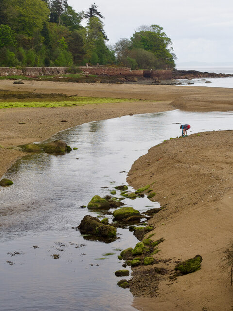
Glenshurig is a small coastal village located in the county of Buteshire, Scotland. Situated on the western coast of the Isle of Bute, Glenshurig is surrounded by stunning natural beauty, with the majestic mountains of the Highlands providing a picturesque backdrop.

The village has a population of approximately 500 residents, creating a tight-knit community atmosphere. Glenshurig is known for its tranquility, making it an ideal destination for those seeking a peaceful retreat away from the hustle and bustle of urban life.

The main industry in Glenshurig is tourism, with visitors attracted to the village's unspoiled beaches, rugged cliffs, and scenic hiking trails. The area is also popular among outdoor enthusiasts, offering opportunities for fishing, sailing, and birdwatching. Glenshurig's proximity to the Firth of Clyde makes it a great spot for water sports enthusiasts as well.

In terms of amenities, Glenshurig boasts a few local shops, a post office, and a charming village pub where visitors can enjoy traditional Scottish cuisine and warm hospitality. For those seeking cultural experiences, the nearby town of Rothesay offers historical landmarks such as the Rothesay Castle and the Bute Museum.

Glenshurig is well-connected to other parts of the island through a reliable transport system, including regular bus services and ferry connections. It is also easily accessible from the mainland, making it a popular destination for day trips or longer stays.

Overall, Glenshurig offers a serene and idyllic setting, making it a cherished destination for both locals and tourists looking to immerse themselves in the natural wonders and peaceful ambiance of the Scottish countryside.

If you have any feedback on the listing, please let us know in the comments section below.
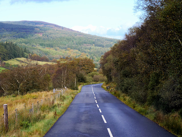
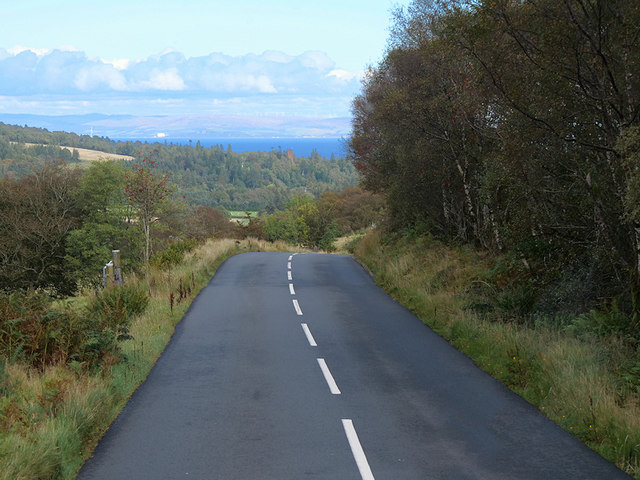
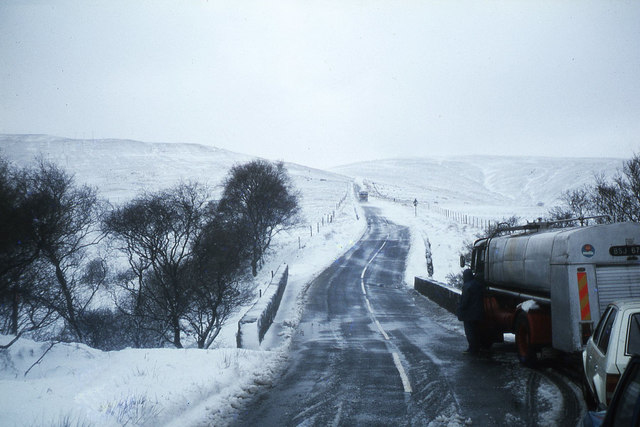
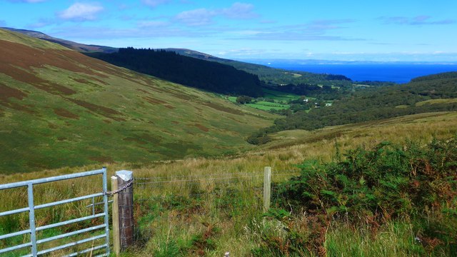
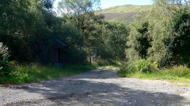
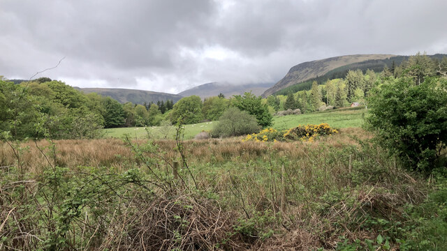
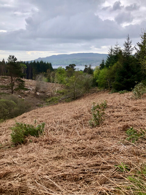
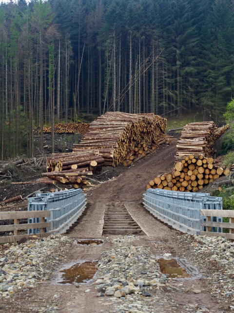
Glenshurig Images

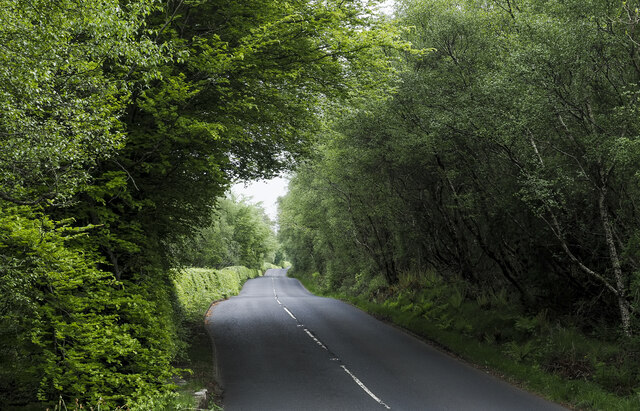
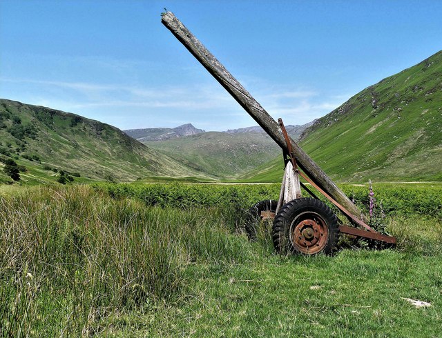
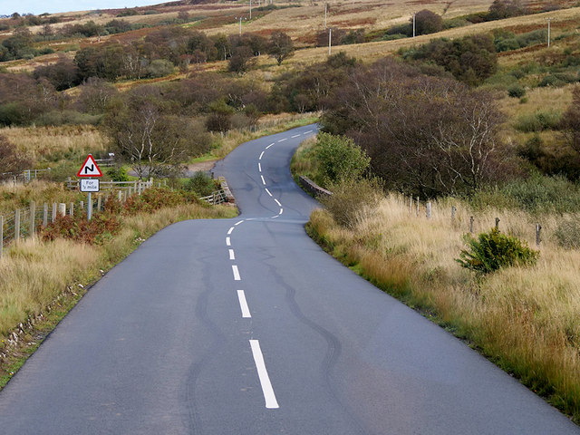
Images are sourced within 2km of 55.584526/-5.1727058 or Grid Reference NS0036. Thanks to Geograph Open Source API. All images are credited.

Glen Rosa, Arran
Glen Rosa, Arran
B880 descending through Glen Shurig The road is also known as The String, or The String Road; here it's on the southern slope of Glen Shurig heading towards the village of Brodick.
B880 descending through Glen Shurig
The road is also known as The String, or The String Road; here it's on the southern slope of Glen Shurig heading towards the village of Brodick.
Moorland with regenerating trees The moorland is just south of the B880, 'String Road' as it descends above Glen Shurig. The ground beyond rises to a ridge named Muileann Gaoithe.
Moorland with regenerating trees
The moorland is just south of the B880, 'String Road' as it descends above Glen Shurig. The ground beyond rises to a ridge named Muileann Gaoithe.
Walking the Glen Rosa path
Lower Glen Rosa - Isle of Arran This device is known as a sulky. A sulky goes behind a winch tractor with a pulley on the end of the pole for the winch wire to run through. Then snigged onto the felled trees, which then would be skidded out of the woods by the tractor and sulky.
This sulky is a remnant from when this side of the Rosa Wood was felled.
Lower Glen Rosa - Isle of Arran
This device is known as a sulky. A sulky goes behind a winch tractor with a pulley on the end of the pole for the winch wire to run through. Then snigged onto the felled trees, which then would be skidded out of the woods by the tractor and sulky. This sulky is a remnant from when this side of the Rosa Wood was felled.
Old Milestone by the B880, Glen Shurig, Kilbride parish Arran by the B880, in parish of Kilbride (Arran District), by a little stone bridge over Allt Ailein, on grass verge, Southeast side of road.

Inscription reads:-
2
(To Brodick Old Quay)

Surveyed

Milestone Society National ID: AYN_ARRS02
Old Milestone by the B880, Glen Shurig, Kilbride parish
Arran by the B880, in parish of Kilbride (Arran District), by a little stone bridge over Allt Ailein, on grass verge, Southeast side of road. Inscription reads:- 2 (To Brodick Old Quay) Surveyed Milestone Society National ID: AYN_ARRS02
B880 String Road near Allt Mor The String Road (or The String) is the main cross-island route on Arran. The 10-mile road bisects Arran from the island capital of Brodick on the east coast to Blackwaterfoot on the west coast, rising to 233m (768 feet) as it climbs over Gleann an t-Suidhe. It is now designated as the B880.
B880 String Road near Allt Mor
The String Road (or The String) is the main cross-island route on Arran. The 10-mile road bisects Arran from the island capital of Brodick on the east coast to Blackwaterfoot on the west coast, rising to 233m (768 feet) as it climbs over Gleann an t-Suidhe. It is now designated as the B880.
Isle of Arran, The String Road near to Brodick, The String Road (or The String) is the main cross-island route on Arran. The 10-mile road bisects Arran from the island capital of Brodick on the east coast to Blackwaterfoot on the west coast, rising to 233m (768 feet) as it climbs over Gleann an t-Suidhe. It is now designated as the B880.
Isle of Arran, The String Road near to Brodick,
The String Road (or The String) is the main cross-island route on Arran. The 10-mile road bisects Arran from the island capital of Brodick on the east coast to Blackwaterfoot on the west coast, rising to 233m (768 feet) as it climbs over Gleann an t-Suidhe. It is now designated as the B880.
The String Road (B880) near Brodick The String Road (or The String) is the main cross-island route on Arran. The 10-mile road bisects Arran from the island capital of Brodick on the east coast to Blackwaterfoot on the west coast, rising to 233m (768 feet) as it climbs over Gleann an t-Suidhe. It is now designated as the B880.
The String Road (B880) near Brodick
The String Road (or The String) is the main cross-island route on Arran. The 10-mile road bisects Arran from the island capital of Brodick on the east coast to Blackwaterfoot on the west coast, rising to 233m (768 feet) as it climbs over Gleann an t-Suidhe. It is now designated as the B880.
Difficult road conditions on the B880 The String , west of Brodick From a week of shorts and tee shirts, this came as quite a shock on the last full day on Arran.
Difficult road conditions on the B880 The String , west of Brodick
From a week of shorts and tee shirts, this came as quite a shock on the last full day on Arran.
Glen Shurig from The String The waters of the Firth of Clyde in the distance.
Glen Shurig from The String
The waters of the Firth of Clyde in the distance.
West Glenshurig roadend
Old milestone Milestone 2 on The String is by a little stone bridge over the Allt Ailein.  Damage to the back top edge was done in 2007 by the verge cutter.
Old milestone
Milestone 2 on The String is by a little stone bridge over the Allt Ailein. Damage to the back top edge was done in 2007 by the verge cutter.
Glen Rosa
Glen Rosa
Clearing in Cnocan Wood
New bridge over the Cnocan Burn
Detail of parapet of logging bridge
Cnocan Burn
Cnocan Burn
Show me another place!

Glenshurig is located at Grid Ref: NS0036 (Lat: 55.584526, Lng: -5.1727058)

Unitary Authority: North Ayrshire

Police Authority: Ayrshire

What 3 Words

///sweetener.monorail.cities. Near Brodick, North Ayrshire

Nearby Locations

Stronach Wood Glenshurig

Related Wikis

Home Farm, Brodick

Home Farm was the estate farm for Brodick Castle. It now houses a series of tourist enterprises including a cheese shop and Arran Aromatics. This was the...

Arran Hydro-Electric Schemes

There are several hydro-electric schemes on the Isle of Arran, an island in the Firth of Clyde, Scotland. Most of them were installed during the early...

Cladach

Note: Cladach is a general Scottish Gaelic word for "beach" or "shore" and occurs in many Scottish placenames Cladach (Scottish Gaelic: An Cladach) is...

Brodick

Brodick ( BROD-ik, Scottish Gaelic: TrĂ igh a' Chaisteil ("Castle Beach") or Breadhaig) is the main village on the Isle of Arran, in the Firth of Clyde...

Nearby Amenities

Located within 500m of 55.584526,-5.1727058
Power: pole
Lat/Long: 55.5860817/-5.1771612
Power: pole
Lat/Long: 55.5856494/-5.1749118
Power: pole
Lat/Long: 55.5853595/-5.1746492
Power: pole
Lat/Long: 55.5870538/-5.1756125
Power: pole
Lat/Long: 55.5876192/-5.1753925
Power: pole
Lat/Long: 55.5865134/-5.1759045
Fixme: what's it used for? are other lines & connections correct?
Power: pole
Lat/Long: 55.5855422/-5.1757622
Power: pole
Lat/Long: 55.5860294/-5.1753813
Power: pole
Lat/Long: 55.5850726/-5.1742941
Power: pole
Lat/Long: 55.5862346/-5.1701893
Power: pole
Lat/Long: 55.5864065/-5.1711766
Power: pole
Lat/Long: 55.5865598/-5.1721124
Power: pole
Lat/Long: 55.5867846/-5.1735816
Power: pole
Lat/Long: 55.5867264/-5.1742414
Power: pole
Lat/Long: 55.5854809/-5.1676438
Power: pole
Lat/Long: 55.5857718/-5.1683878
Power: pole
Lat/Long: 55.5853103/-5.1762141
Power: pole
Lat/Long: 55.5830153/-5.1771451
Power: pole
Lat/Long: 55.5830972/-5.1792559
Power: pole
Lat/Long: 55.5831873/-5.1800819
Power: pole
Lat/Long: 55.5854154/-5.1756496
Power: pole
Lat/Long: 55.5854195/-5.1734065
The data included in this document is from www.openstreetmap.org. The data is made available under ODbL.

Have you been to Glenshurig?

Leave your review of Glenshurig below (or comments, questions and feedback).