Glengowan
Settlement in Lanarkshire
Scotland
Glengowan

Glengowan is a small village located in the county of Lanarkshire, Scotland. Situated in the central lowlands of the country, it is nestled amidst picturesque countryside and offers residents and visitors a tranquil and scenic environment.
The village is characterized by a close-knit community, with a population of around 500 inhabitants. It is primarily residential, with a mix of traditional stone-built cottages and more modern houses. Many of the properties in Glengowan boast well-maintained gardens and stunning views of the surrounding landscape.
Despite its small size, Glengowan is well-served by local amenities. There is a village shop that caters to residents' daily needs, along with a post office and a primary school. For more extensive shopping, entertainment, and healthcare facilities, the nearby town of Lanark is easily accessible.
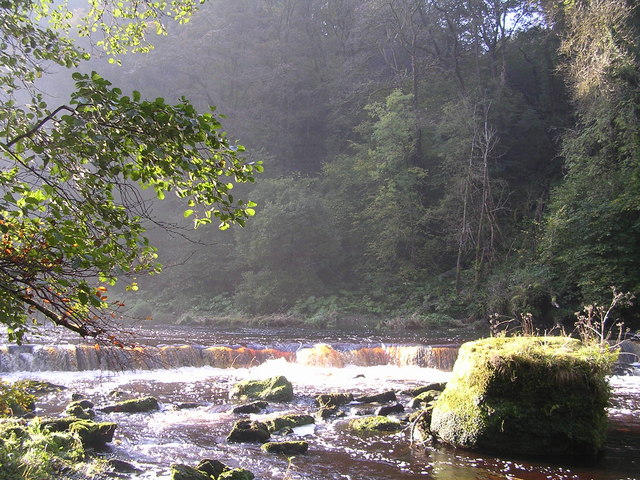
Nature enthusiasts will find plenty to explore in and around Glengowan. The village is surrounded by rolling hills and lush green meadows, making it an ideal destination for hiking and cycling enthusiasts. The nearby Clyde Valley offers stunning walks and breathtaking views, with the opportunity to visit picturesque waterfalls and historic sites.
Transport connections in Glengowan are relatively good, with regular bus services connecting the village to Lanark and other nearby towns. For those who prefer to travel by car, the village is conveniently located near the A73 road, providing easy access to the wider Lanarkshire region and beyond.
In summary, Glengowan is a peaceful village in Lanarkshire, Scotland, offering a close-knit community, beautiful scenery, and easy access to local amenities and transport links.
If you have any feedback on the listing, please let us know in the comments section below.
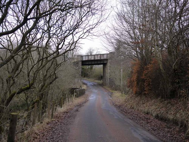
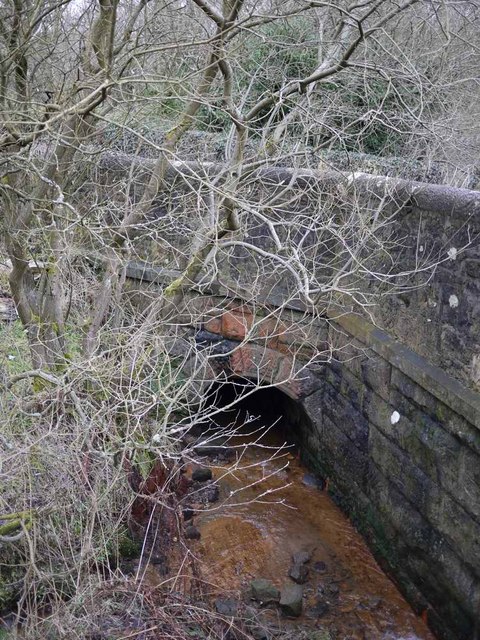
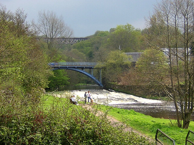
Glengowan Images
Images are sourced within 2km of 55.736052/-3.9876481 or Grid Reference NS7550. Thanks to Geograph Open Source API. All images are credited.


Glengowan is located at Grid Ref: NS7550 (Lat: 55.736052, Lng: -3.9876481)
Unitary Authority: South Lanarkshire
Police Authority: Lanarkshire
What 3 Words
///subplot.stones.tightrope. Near Larkhall, South Lanarkshire
Nearby Locations
Related Wikis

Raploch Park
Raploch Park, also known as the Larkhall Greyhound Stadium, was a football ground and greyhound racing stadium in Larkhall, Scotland. It was the home ground...
Larkhall Thistle F.C.
Larkhall Thistle Football Club is a football club from Larkhall, in South Lanarkshire, Scotland. Formed in 1878, "the Jags" are Scotland's oldest continuous...
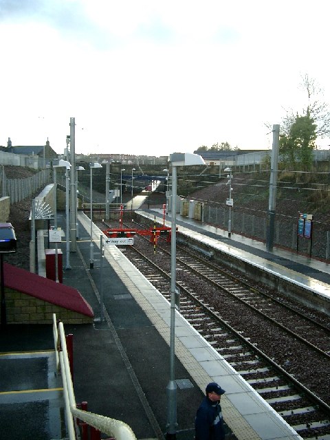
Larkhall railway station
Larkhall railway station serves the town of Larkhall, South Lanarkshire, Scotland. The station is the south-eastern terminus of the Argyle Line, 16+1⁄4...
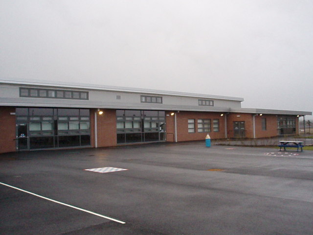
Larkhall Academy
Larkhall Academy is a non-denominational coeducational secondary school in Larkhall, South Lanarkshire, Scotland. The current head teacher is Andy Smith...
Larkhall
Larkhall (Scots: Larkhauch, Scottish Gaelic: Taigh na h-Uiseig) is a town in South Lanarkshire, Scotland, around 14 miles (23 km) southeast of Glasgow...
Merryton railway station
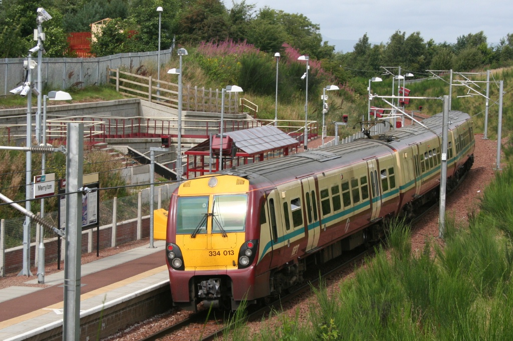
Merryton railway station is a railway station in Larkhall, Scotland. The station is managed by ScotRail and lies on the Argyle Line. The station was officially...
Larkhall East railway station
Larkhall East railway station served the town of Larkhall, in the historical county of Lanarkshire, Scotland, from 1866 to 1951 on the Lesmahagow Railway...

Quarter, South Lanarkshire
Quarter is a village in South Lanarkshire, Scotland, on the hill above the Clyde Valley. == History == Francis Groome described the village in 1884-4 thus...
Nearby Amenities
Located within 500m of 55.736052,-3.9876481Have you been to Glengowan?
Leave your review of Glengowan below (or comments, questions and feedback).