Glen Sluain
Settlement in Argyllshire
Scotland
Glen Sluain

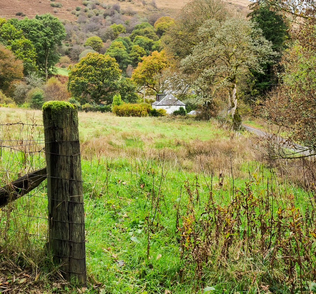
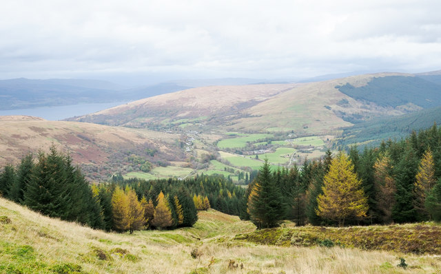
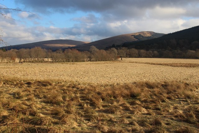
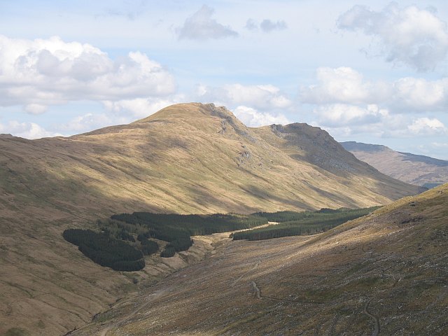
Glen Sluain is a picturesque valley located in Argyllshire, a county in the western region of Scotland. Nestled amidst the stunning Scottish Highlands, this charming glen is known for its breathtaking natural beauty and tranquil surroundings.
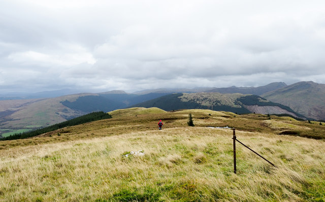
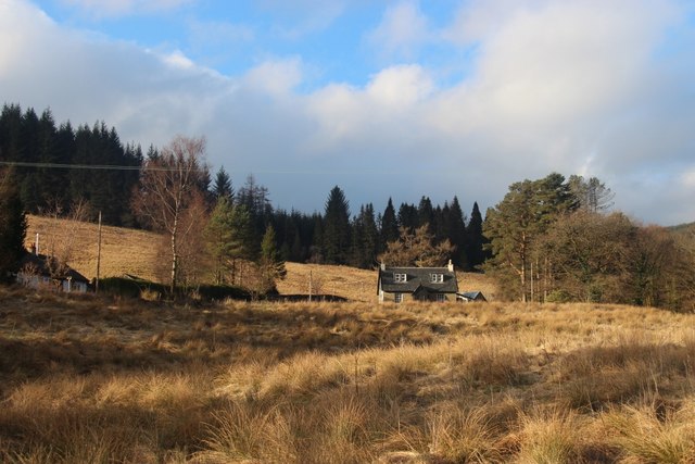
The glen is situated about 10 miles northwest of the town of Oban, making it easily accessible for both locals and tourists alike. It is encompassed by rolling hills, lush green meadows, and dense forests, creating a postcard-perfect landscape that appeals to nature enthusiasts and photographers.
Glen Sluain is renowned for its diverse wildlife, including red deer, golden eagles, and various species of birds. It offers an idyllic setting for outdoor activities such as hiking, birdwatching, and nature walks. The glen is crisscrossed by several walking trails, allowing visitors to explore its stunning vistas and discover hidden gems along the way.
History buffs will also find Glen Sluain intriguing, as it is steeped in ancient folklore and legends. The glen is home to historic ruins, standing stones, and ancient burial grounds, providing a glimpse into the area's rich cultural heritage.
A visit to Glen Sluain offers a peaceful retreat from the hustle and bustle of city life. Its untouched natural beauty, combined with its historical significance, makes it a must-visit destination for anyone seeking a true Scottish Highland experience. Whether you are a nature lover, history enthusiast, or simply seeking tranquility, Glen Sluain is sure to leave a lasting impression on all who venture into its enchanting embrace.
If you have any feedback on the listing, please let us know in the comments section below.
Glen Sluain Images
Images are sourced within 2km of 56.150518/-5.0622877 or Grid Reference NS0999. Thanks to Geograph Open Source API. All images are credited.


Glen Sluain is located at Grid Ref: NS0999 (Lat: 56.150518, Lng: -5.0622877)
Unitary Authority: Argyll and Bute
Police Authority: Argyll and West Dunbartonshire
What 3 Words
///newlyweds.refutes.quilting. Near Inveraray, Argyll & Bute
Nearby Locations
Related Wikis
Strachur
Strachur (Scottish Gaelic: Srath Chura) and Strathlachlan (Scottish Gaelic: Srath Lachlainn) are united parishes located on the Cowal peninsula, in Argyll...

Glenbranter
Glenbranter; is a hamlet on the northwest shore of Loch Eck in the Argyll Forest Park, on the Cowal peninsula, Argyll and Bute in the West of Scotland...
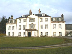
Strachur House
Strachur House is a Category B listed building in Strachur, Argyll and Bute, Scotland. It dates from around 1770, and is a three-storey building, built...

Strachur Bay
Strachur Bay is a coastal embayment, on a 114° orientation, on the eastern coast of the longest sea loch in Scotland, Loch Fyne located in Argyll and Bute...

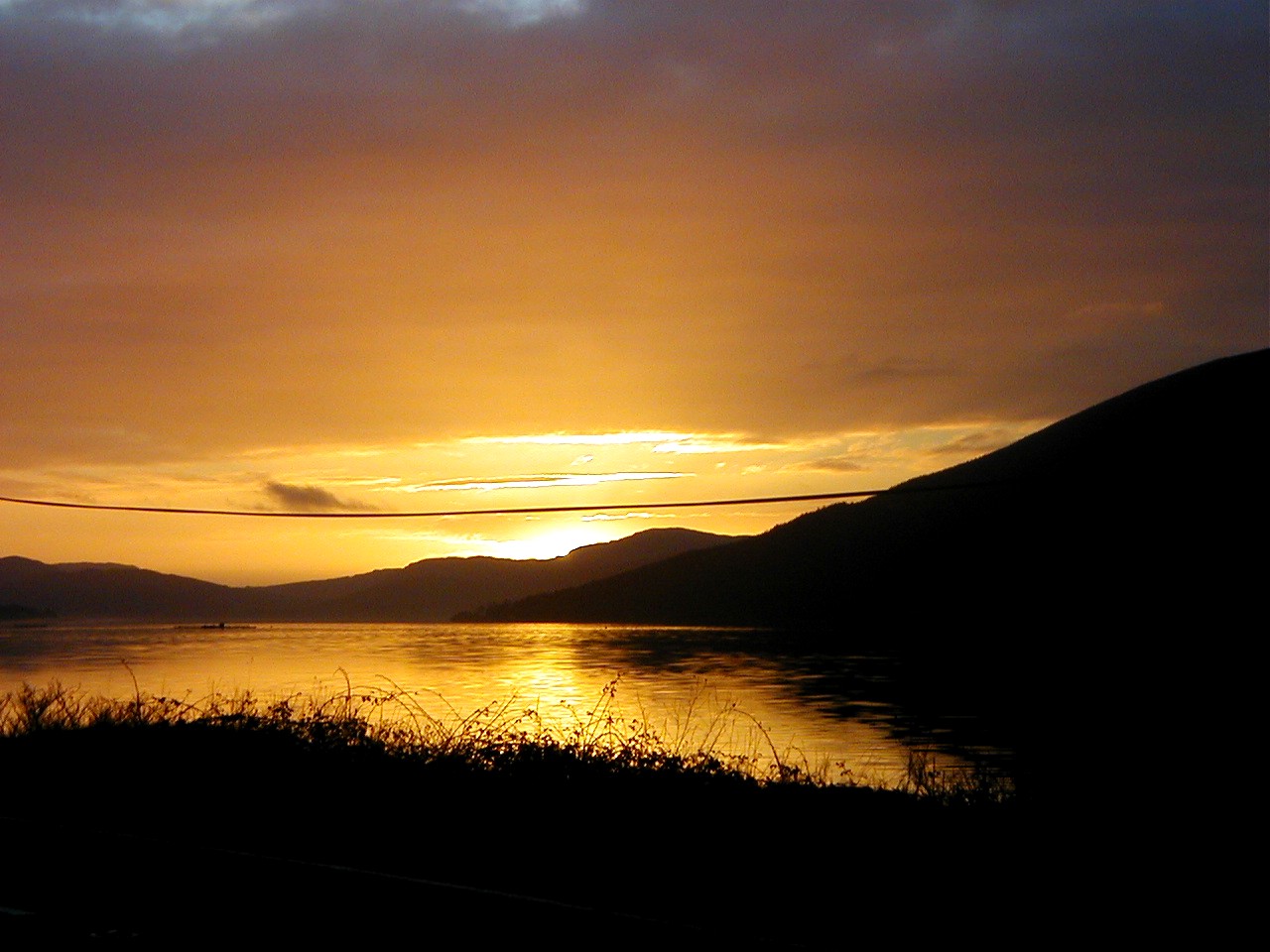
Loch Fyne
Loch Fyne (Scottish Gaelic: Loch Fìne, pronounced [l̪ˠɔx ˈfiːnə]; meaning "Loch of the Vine/Wine"), is a sea loch off the Firth of Clyde and forms part...

River Cur
The River Cur is a river in the Cowal peninsula, Argyll and Bute, western Scotland. The position of its source is uncertain, as it is formed from a large...
Beinn Bheula
Beinn Bheula is a mountain located between Loch Goil and Loch Eck. It is part of the Arrochar Alps range. Beinn Bheula appears rugged from Lochgoilhead...
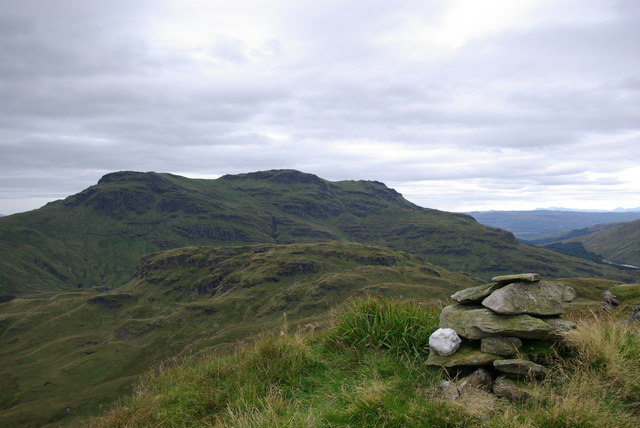
Beinn Lochain
Beinn Lochain is one of the Arrochar Alps at 703 metres (2,306 ft), in the Argyll Highlands. The mountain is situated to the west of Lochgoilhead. It continues...
Nearby Amenities
Located within 500m of 56.150518,-5.0622877Have you been to Glen Sluain?
Leave your review of Glen Sluain below (or comments, questions and feedback).