Glebeland Estate

Settlement in Dorset

England

Glebeland Estate

Ferry Road, Studland Ferry Road, approaching the village of Studland.  This road forms part of the route of the B3351.
Ferry Road, Studland Credit: Malc McDonald

Glebeland Estate is a picturesque residential area located in the county of Dorset, England. Situated just outside the charming village of Puddletown, the estate offers a tranquil and idyllic rural setting, making it a popular choice for those seeking a peaceful countryside lifestyle.

Covering an area of approximately 200 acres, Glebeland Estate is characterized by its lush green fields, rolling hills, and stunning views of the surrounding countryside. The estate is home to a variety of properties, ranging from traditional thatched cottages to modern houses, all designed to harmonize with the natural beauty of the area.

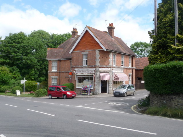
Residents of Glebeland Estate benefit from the convenience of being just a short distance from the village of Puddletown, which offers a range of amenities including a local shop, post office, primary school, and a selection of charming pubs and restaurants. The nearby town of Dorchester is also easily accessible, providing a wider range of shopping, leisure, and cultural facilities.

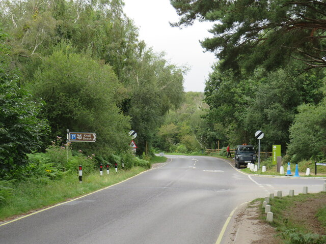
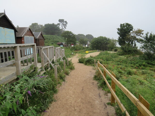
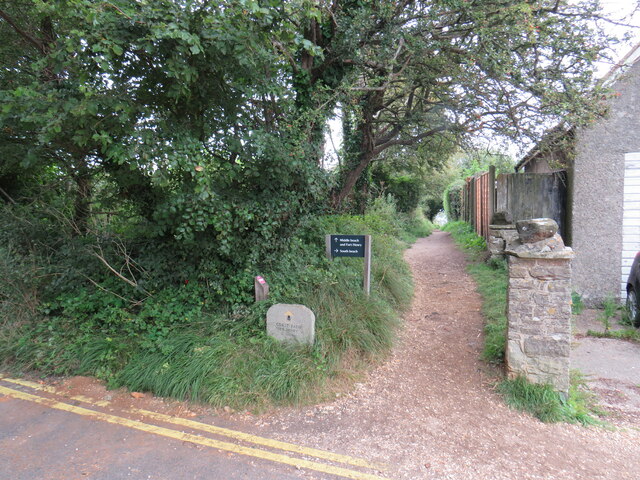
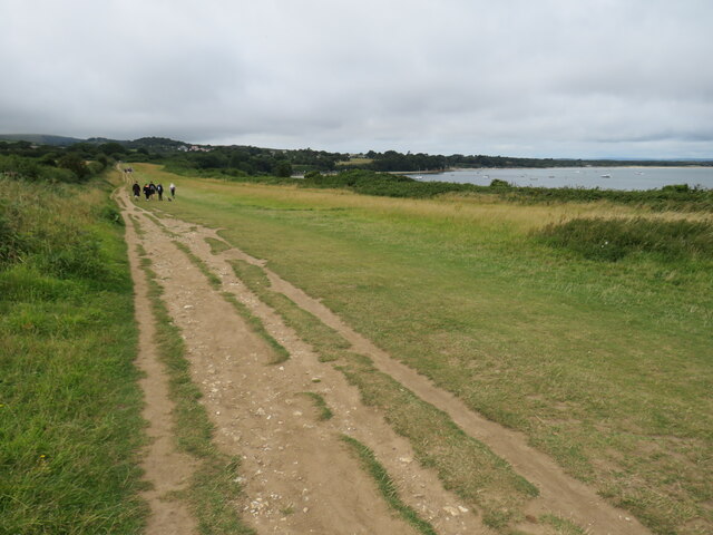
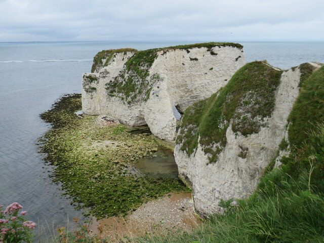
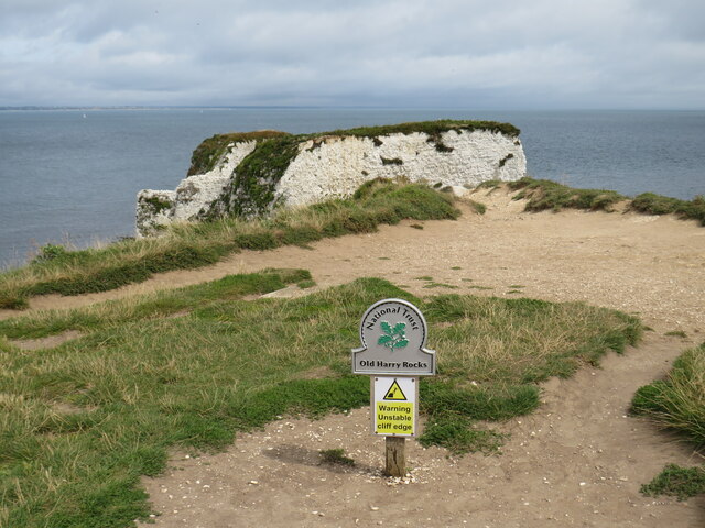
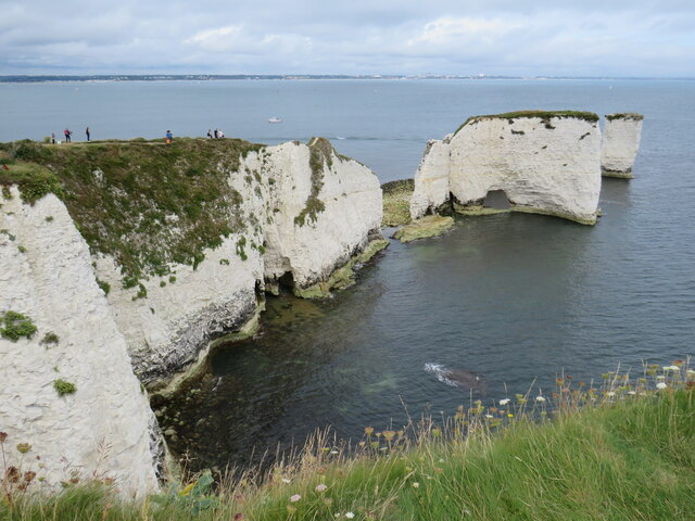
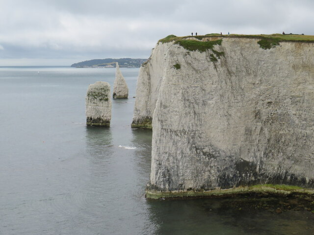
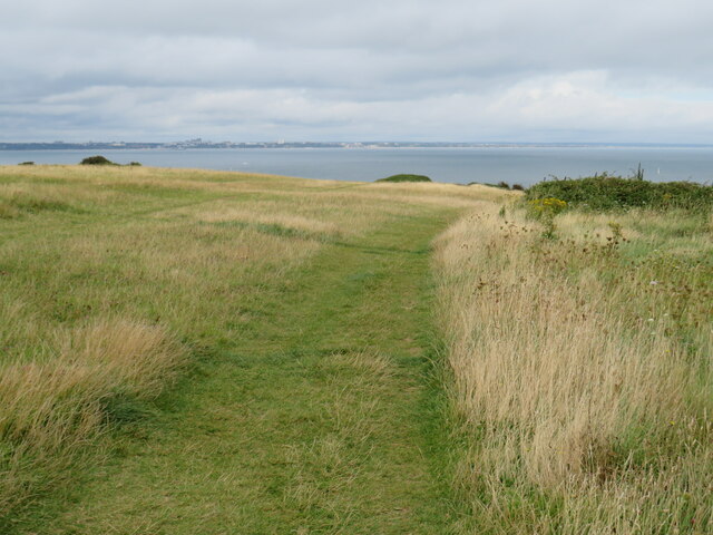
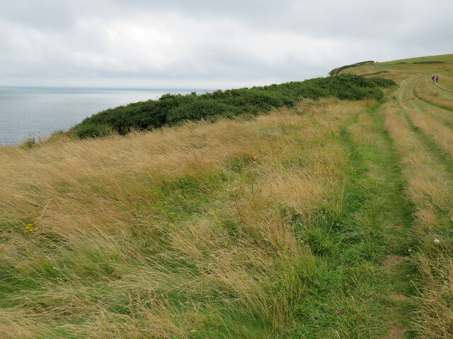
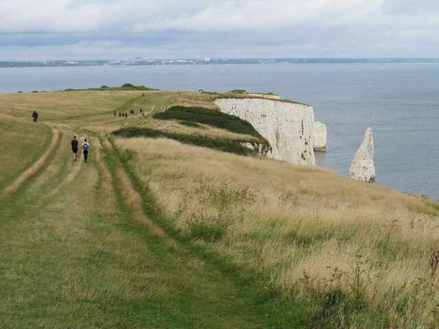
Nature enthusiasts will find plenty to explore in and around Glebeland Estate, with numerous walking and cycling trails meandering through the picturesque countryside. The estate is also located close to the famous Jurassic Coast, a UNESCO World Heritage Site renowned for its stunning cliffs, fossil-rich beaches, and charming coastal towns.

Overall, Glebeland Estate in Dorset offers residents a peaceful and scenic place to call home, with a strong sense of community and easy access to both rural and urban amenities.

If you have any feedback on the listing, please let us know in the comments section below.

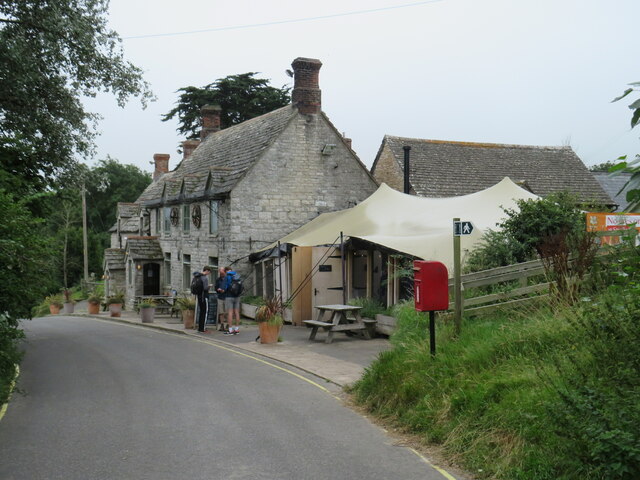
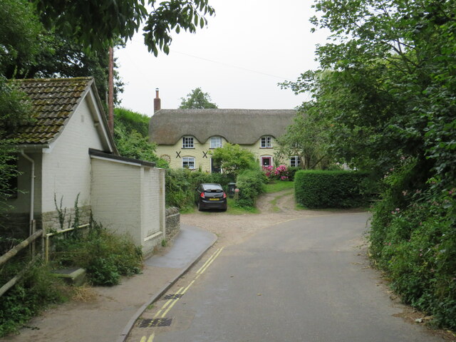
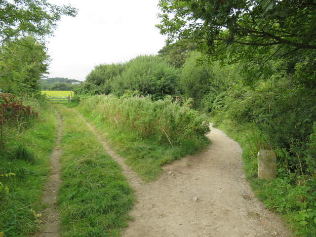
Glebeland Estate Images

Images are sourced within 2km of 50.634696/-1.9486333 or Grid Reference SZ0381. Thanks to Geograph Open Source API. All images are credited.

Ferry Road, Studland Ferry Road, approaching the village of Studland.  This road forms part of the route of the B3351.
Ferry Road, Studland
Ferry Road, approaching the village of Studland. This road forms part of the route of the B3351.
Ferry Road, Studland Ferry Road is on the route of the B3351, up to the turning for Knoll Beach where the B3351 ends.  The road beyond, leading to the Sandbanks ferry, is unclassified.
Ferry Road, Studland
Ferry Road is on the route of the B3351, up to the turning for Knoll Beach where the B3351 ends. The road beyond, leading to the Sandbanks ferry, is unclassified.
Knoll Beach, Studland Knoll Beach at Studland, photographed on a particularly dull and gloomy day in August 2021.  The wooden building in the background houses a café and a National Trust shop.  The National Trust are custodians of the beach and much of the Studland peninsula.
Knoll Beach, Studland
Knoll Beach at Studland, photographed on a particularly dull and gloomy day in August 2021. The wooden building in the background houses a café and a National Trust shop. The National Trust are custodians of the beach and much of the Studland peninsula.
Path by Studland beach A path along the back of Studland beach, photographed on a particularly dull and gloomy day in August 2021.  The beach and the surrounding land are owned and managed by the National Trust.
Path by Studland beach
A path along the back of Studland beach, photographed on a particularly dull and gloomy day in August 2021. The beach and the surrounding land are owned and managed by the National Trust.
Sandy path near Studland beach A sandy path passing beach huts overlooking Studland beach, photographed on a dull and murky day in August 2021.  This area is owned and managed by the National Trust.
Sandy path near Studland beach
A sandy path passing beach huts overlooking Studland beach, photographed on a dull and murky day in August 2021. This area is owned and managed by the National Trust.
Fort Henry, Studland, near Swanage Fort Henry is an observation bunker overlooking Poole Bay.  It was built during the Second World War.  Although it is sometimes claimed it was built to assist in defending Britain's coastline against enemy invasion, that is not so.  The bunker was built to observe practice landings in preparation for D-Day.

This image was taken on a dull and murky day in August 2021, with poor visibility.
Fort Henry, Studland, near Swanage
Fort Henry is an observation bunker overlooking Poole Bay. It was built during the Second World War. Although it is sometimes claimed it was built to assist in defending Britain's coastline against enemy invasion, that is not so. The bunker was built to observe practice landings in preparation for D-Day. This image was taken on a dull and murky day in August 2021, with poor visibility.
South West Coast Path at Studland This path in the village of Studland forms part of the South West Coast Path.
South West Coast Path at Studland
This path in the village of Studland forms part of the South West Coast Path.
Bankes Arms, Studland The Bankes Arms pub, in the village of Studland.  The pub is believed to date from the 16th Century.

The South West Coast Path follows the lane past the pub.
Bankes Arms, Studland
The Bankes Arms pub, in the village of Studland. The pub is believed to date from the 16th Century. The South West Coast Path follows the lane past the pub.
Manor Road, Studland Manor Road is a lane in the village of Studland, in Dorset.  It is on the route of the South West Coast Path.

The building to the left of the image is a public toilet.
Manor Road, Studland
Manor Road is a lane in the village of Studland, in Dorset. It is on the route of the South West Coast Path. The building to the left of the image is a public toilet.
South West Coast Path near Studland The South West Coast Path near the village of Studland, in Dorset.  A marker stone stands to the right of the path.
South West Coast Path near Studland
The South West Coast Path near the village of Studland, in Dorset. A marker stone stands to the right of the path.
South West Coast Path near Studland A view of the South West Coast Path, with Studland Bay visible to the right.
South West Coast Path near Studland
A view of the South West Coast Path, with Studland Bay visible to the right.
Old Harry Rocks, near Swanage Old Harry Rocks are sea stacks off Handfast Point (The Foreland), north of Swanage. They are formed of chalk and are classic features of coastal erosion. The rocks are under constant attack from the sea and Harry has already lost a "wife".
Old Harry Rocks, near Swanage
Old Harry Rocks are sea stacks off Handfast Point (The Foreland), north of Swanage. They are formed of chalk and are classic features of coastal erosion. The rocks are under constant attack from the sea and Harry has already lost a "wife".
Old Harry Rocks, near Swanage A National Trust sign at Old Harry Rocks, indicating that the National Trust owns and manages the land here.
Old Harry Rocks, near Swanage
A National Trust sign at Old Harry Rocks, indicating that the National Trust owns and manages the land here.
Old Harry Rocks, near Swanage A view of Old Harry Rocks and Poole Bay, taken on a dull and cloudy day in August 2021.
Old Harry Rocks, near Swanage
A view of Old Harry Rocks and Poole Bay, taken on a dull and cloudy day in August 2021.
Cliffs and stacks at The Foreland, near Swanage Cliffs and stacks on the Jurassic coastline close to Old Harry Rocks.
Cliffs and stacks at The Foreland, near Swanage
Cliffs and stacks on the Jurassic coastline close to Old Harry Rocks.
South West Coast Path at The Foreland, near Swanage A view of the South West Coast Path as it approaches Old Harry Rocks, on the Jurassic coastline near Swanage.
South West Coast Path at The Foreland, near Swanage
A view of the South West Coast Path as it approaches Old Harry Rocks, on the Jurassic coastline near Swanage.
South West Coast Path at The Foreland, near Swanage A view of the South West Coast Path on The Foreland, on the Isle of Purbeck.
South West Coast Path at The Foreland, near Swanage
A view of the South West Coast Path on The Foreland, on the Isle of Purbeck.
South West Coast Path near Swanage The South West Coast Path heading towards Old Harry Rocks, on the Isle of Purbeck.  Visible in this image are chalk cliffs and a sea stack, one of several here.  In the background is Poole Bay, looking towards Bournemouth.
South West Coast Path near Swanage
The South West Coast Path heading towards Old Harry Rocks, on the Isle of Purbeck. Visible in this image are chalk cliffs and a sea stack, one of several here. In the background is Poole Bay, looking towards Bournemouth.
Show me another place!

Glebeland Estate is located at Grid Ref: SZ0381 (Lat: 50.634696, Lng: -1.9486333)

Unitary Authority: Dorset

Police Authority: Dorset

What 3 Words

///pelted.scorch.enthused. Near Swanage, Dorset

Related Wikis

Ballard Cliff

Ballard Cliff is part of the Jurassic Coast near Swanage in the Isle of Purbeck in Dorset, England. The steeply dipping Cretaceous chalk that marks the...

St Nicholas' Church, Studland

The Church of Saint Nicholas is a Church of England parish church in Studland, Dorset, England. It was built in the early 12th century on the foundations...

Studland

Studland is a village and civil parish on the Isle of Purbeck in Dorset, England. The village is located about 2 miles (3.2 km) north of the town of Swanage...
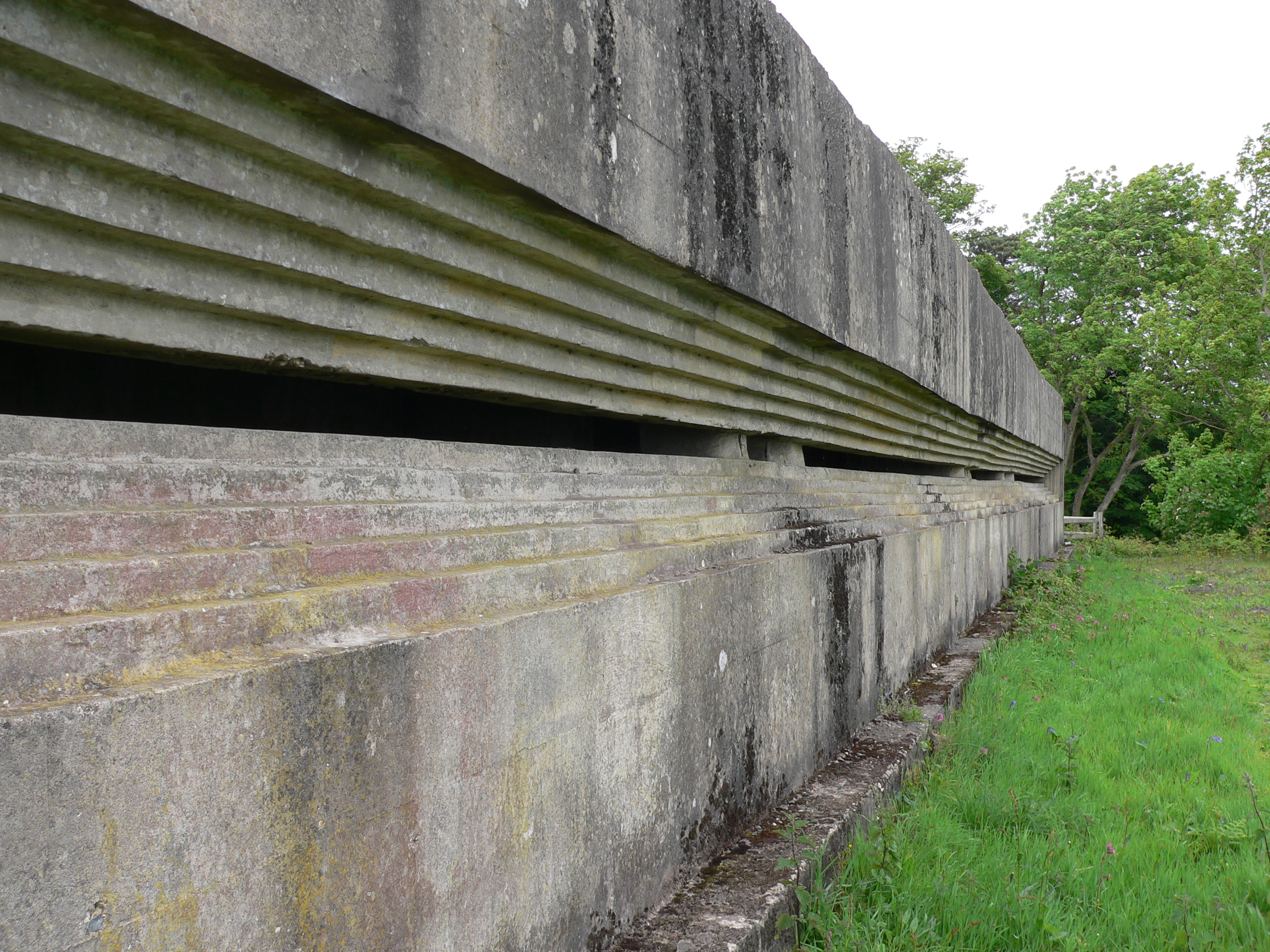
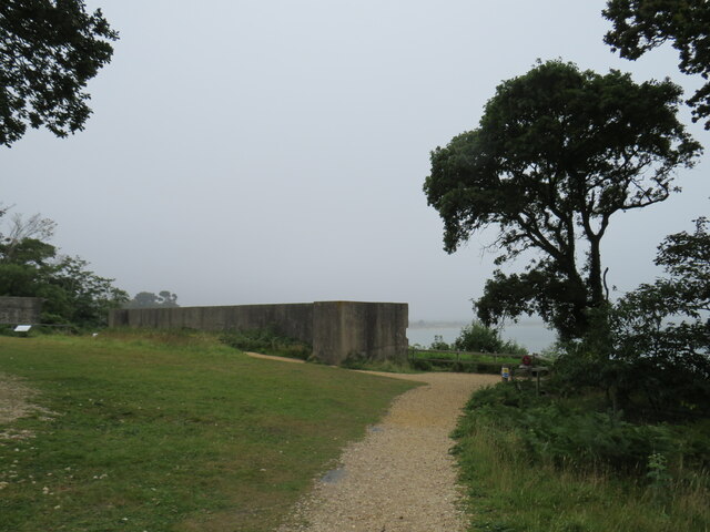
Fort Henry, Dorset

Fort Henry is a Grade II listed World War Two observation bunker overlooking Studland Bay, in Dorset. It was built in 1943 to defend the bay from possible...

Nearby Amenities

Located within 500m of 50.634696,-1.9486333
Material: wood
Poles: bipole
Power: pole
Source: survey
Transformer: distribution
Lat/Long: 50.6371302/-1.9495262
Material: wood
Power: pole
Source: bing
Lat/Long: 50.6378123/-1.9504136
Material: wood
Note: Vertically stacked
Power: pole
Source: survey
Lat/Long: 50.6384947/-1.9513513
Studland Hill
Ele: 132
Natural: peak
Lat/Long: 50.6322196/-1.951779
Ballard Down
Place: locality
Lat/Long: 50.6308762/-1.9514646
Bench
Backrest: no
Material: wood
Seats: 2
Lat/Long: 50.6314287/-1.9512979
Post Box
Collection Times: Mo-Fr 09:00; Sa 07:00
Date: 2021-03-11
Operator: Royal Mail
Post Box Type: lamp
Ref: BH19 224D
Ref GB Uprn: 10015303633
Royal Cypher: EIIR
Lat/Long: 50.6363123/-1.9486833
Colour: white
Man Made: street_cabinet
Street Cabinet: power
Lat/Long: 50.638113/-1.9482654
Power: pole
Source: bing
Lat/Long: 50.6380007/-1.9493946
Studland No 3
Poles: bipole
Power: pole
Ref: 56903089
Source: survey
Transformer: distribution
Voltage Primary: 11000
Voltage Secondary: 400
Voltage Tertiary: 230
Lat/Long: 50.6381019/-1.9482909
The data included in this document is from www.openstreetmap.org. The data is made available under ODbL.

Have you been to Glebeland Estate?

Leave your review of Glebeland Estate below (or comments, questions and feedback).