Gethsemane
Settlement in Pembrokeshire
Wales
Gethsemane
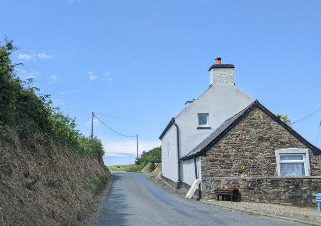
Gethsemane is a small village located in the county of Pembrokeshire, Wales. Situated on the southwestern coast of the country, it is part of the picturesque Pembrokeshire Coast National Park. The village is nestled between the towns of Tenby and Pembroke, offering residents and visitors access to a range of amenities and attractions.
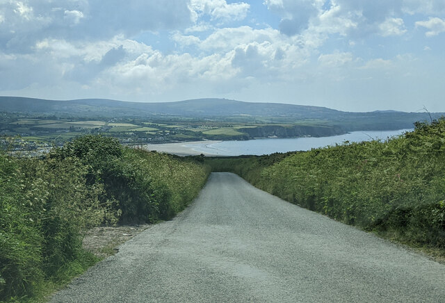
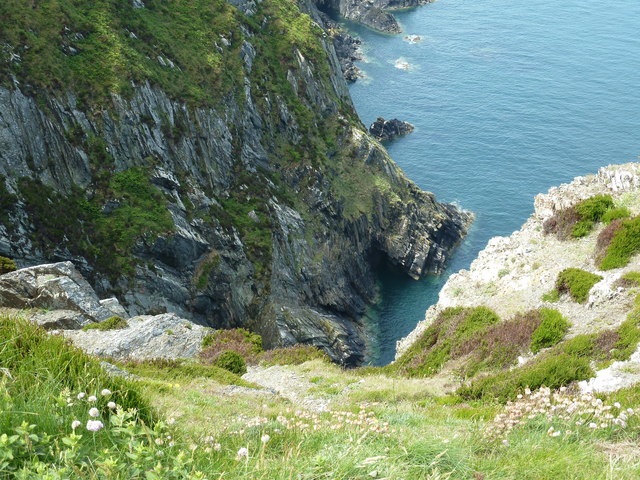
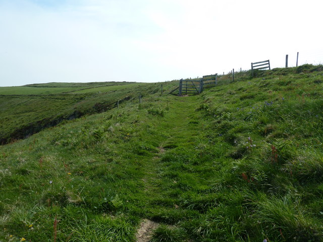
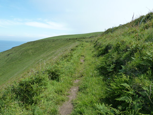
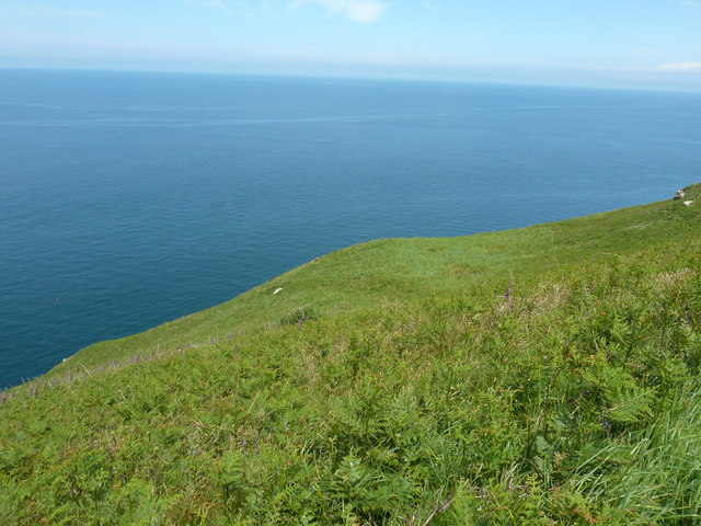
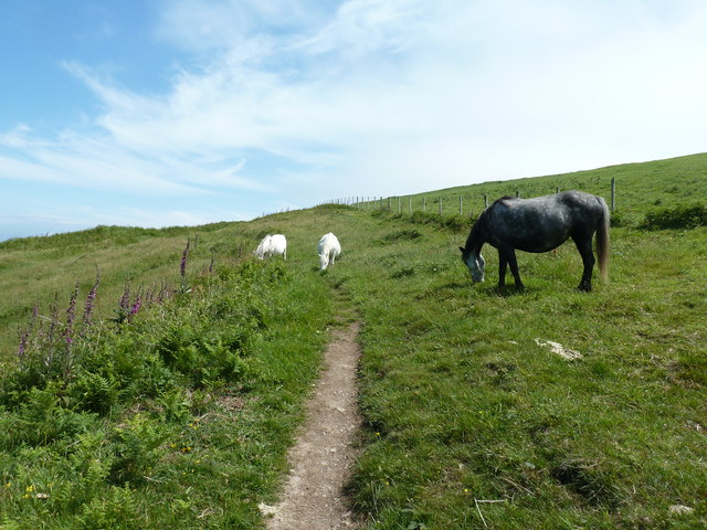
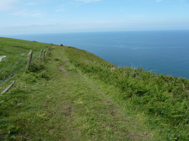
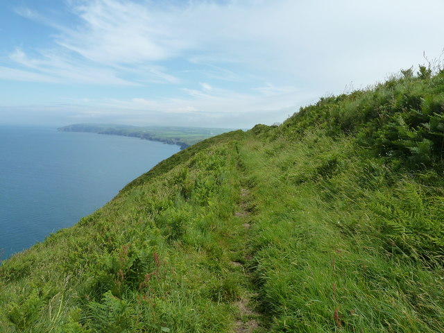
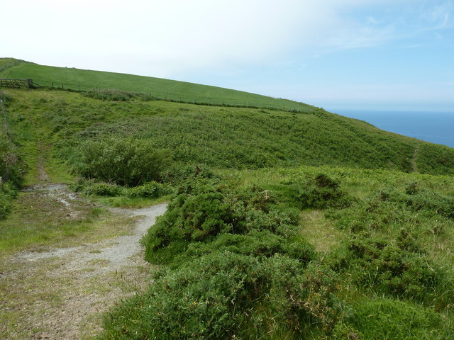
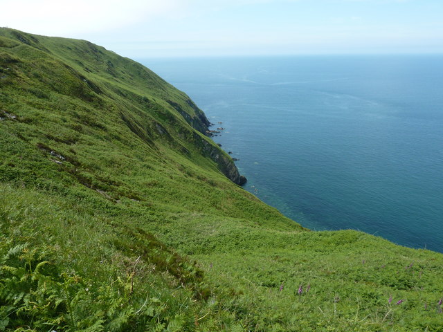
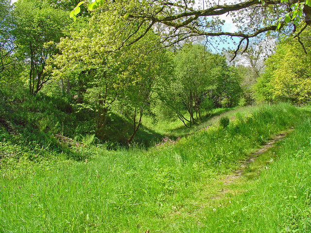
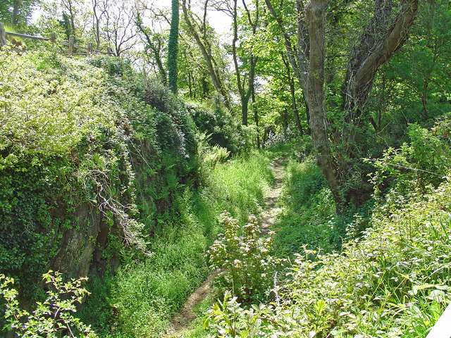
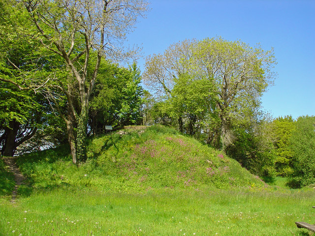
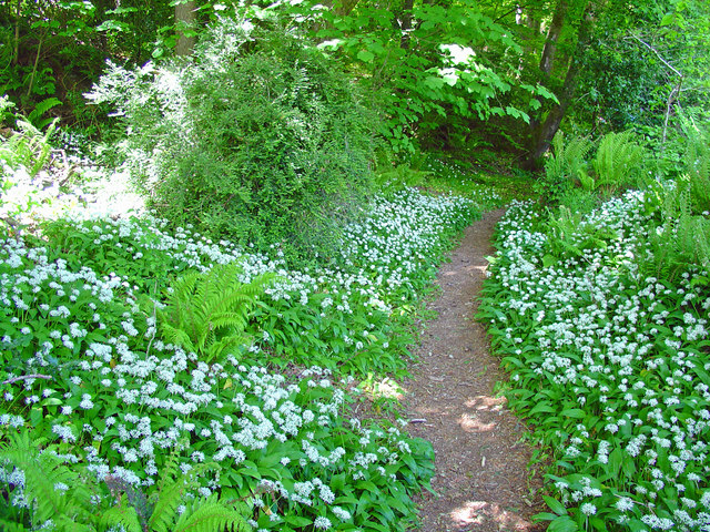
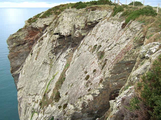
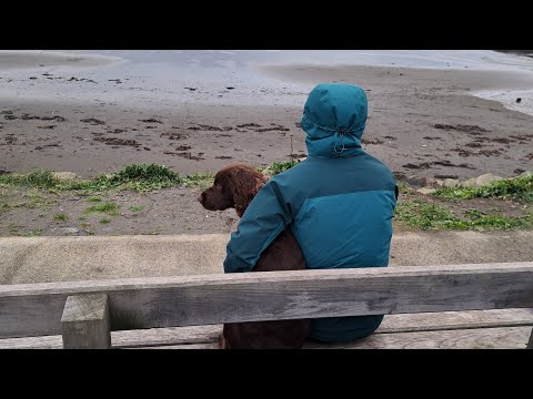
Gethsemane is renowned for its natural beauty, with its stunning coastal views and rugged cliffs. The village is surrounded by rolling green hills and boasts a peaceful and tranquil atmosphere, making it an ideal destination for those seeking a relaxing retreat. The nearby beaches, such as Barafundle Bay and Freshwater West, are popular among locals and tourists alike, offering sandy shores and crystal-clear waters.
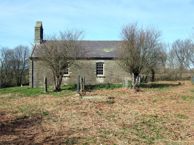
In terms of amenities, Gethsemane is relatively small but maintains a close-knit community. There is a local pub and a few shops that cater to the needs of residents and visitors. The village also benefits from its proximity to larger towns, where a wider range of services can be found.
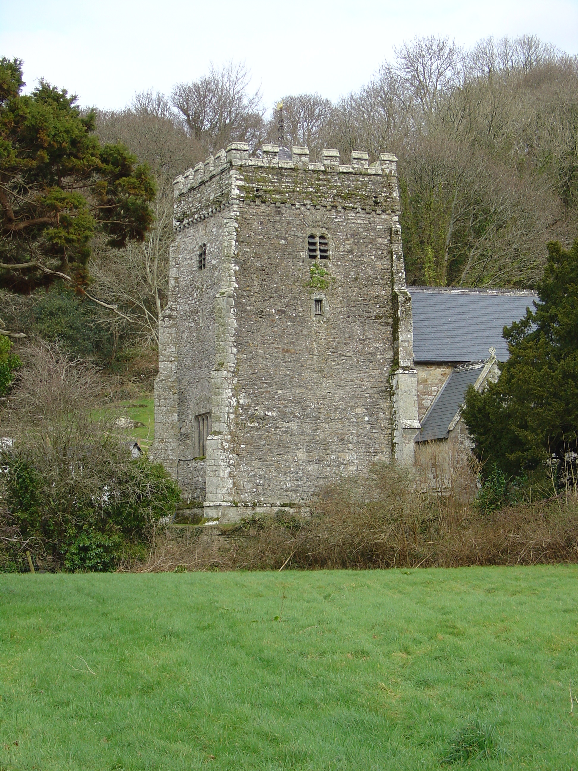
Historically, Gethsemane has roots dating back centuries, with evidence of ancient settlements in the surrounding areas. The village is also home to a number of historic landmarks, including St. John's Church, which dates back to the 12th century and provides a glimpse into the area's rich heritage.
Overall, Gethsemane offers a peaceful and idyllic setting, combining natural beauty with a sense of community. It is a destination that appeals to nature lovers, history enthusiasts, and those seeking a serene escape from the hustle and bustle of modern life.
If you have any feedback on the listing, please let us know in the comments section below.
Gethsemane Images
Images are sourced within 2km of 52.042141/-4.8085868 or Grid Reference SN0741. Thanks to Geograph Open Source API. All images are credited.

Gethsemane is located at Grid Ref: SN0741 (Lat: 52.042141, Lng: -4.8085868)
Unitary Authority: Pembrokeshire
Police Authority: Dyfed Powys
What 3 Words
///dolly.prefect.major. Near Nevern, Pembrokeshire
Nearby Locations
Related Wikis

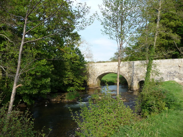
Nevern Bridge
Nevern Bridge (Welsh: Pont Nanhyfer) spans the River Nevern (Welsh: Afon Nyfer) in the centre of Nevern, Pembrokeshire, Wales. This Grade II listed bridge...
Newport Cliffs
Newport Cliffs is a Site of Special Scientific Interest (or SSSI) lying a little to the north of Newport in Pembrokeshire, South Wales. It has been designated...
Nevern
Nevern (Welsh: Nanhyfer) is both a parish and a community in Pembrokeshire, Wales. The community includes the settlements of Felindre Farchog, Monington...

Felin Llwyngwair
Felin Llwyngwair is a Site of Special Scientific Interest (or SSSI) near Newport in Pembrokeshire, South Wales. It was designated a SSSI (ID2580, code...
Bayvil
Bayvil (Welsh: Y Beifil) is a hamlet and parish in Pembrokeshire, Wales. It is situated in the north of the county, 5 kilometres (3.1 mi) east of Newport...

Carreg Coetan Arthur
Carreg Coetan Arthur is a neolithic dolmen near Newport in North Pembrokeshire, Wales.Carreg Coetan Arthur dates from around 3000 BC and is the remains...
St Andrew's Church, Bayvil
St Andrew's Church, Bayvil, is a redundant church standing in an isolated position in the hamlet of Bayvil, some 2 kilometres (1.2 mi) to the northeast...

Newport, Pembrokeshire
Newport (Welsh: Trefdraeth, meaning: "town by the beach") is a town, community, electoral ward and ancient port of Parrog, on the Pembrokeshire coast in...
Related Videos


𝑁𝑒𝑤𝑝𝑜𝑟𝑡 𝐵𝑒𝑎𝑐ℎ, 𝑊𝑎𝑙𝑒𝑠
I really hope you enjoy the video! And if you really enjoyed it, hit the subscribe, like button and comment down below for more ...

Nearby Amenities
Located within 500m of 52.042141,-4.8085868Have you been to Gethsemane?
Leave your review of Gethsemane below (or comments, questions and feedback).