Gellyburn
Settlement in Perthshire
Scotland
Gellyburn
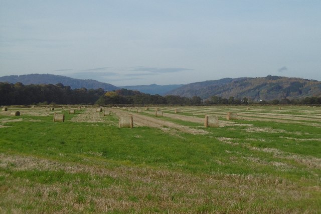
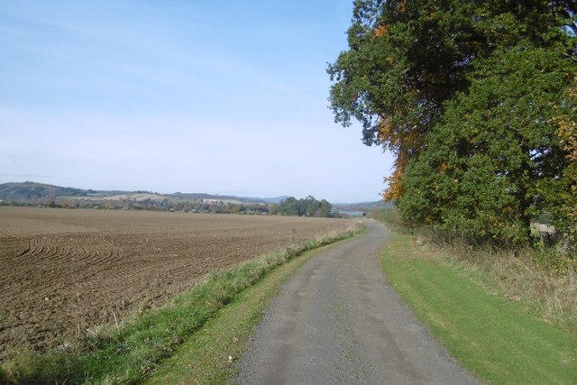
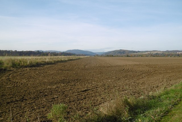
Gellyburn is a small village located in the picturesque county of Perthshire, Scotland. Situated in the heart of the countryside, this rural hamlet lies about 10 miles northwest of the town of Perth. Nestled between rolling hills and surrounded by lush green fields, Gellyburn offers residents and visitors a serene and tranquil setting.
The village itself is comprised of a cluster of traditional stone cottages, some dating back several centuries. These charming buildings add to the village's quaint and idyllic atmosphere. Gellyburn is home to a tight-knit community that prides itself on its warm and friendly nature, making it an inviting place to live or visit.
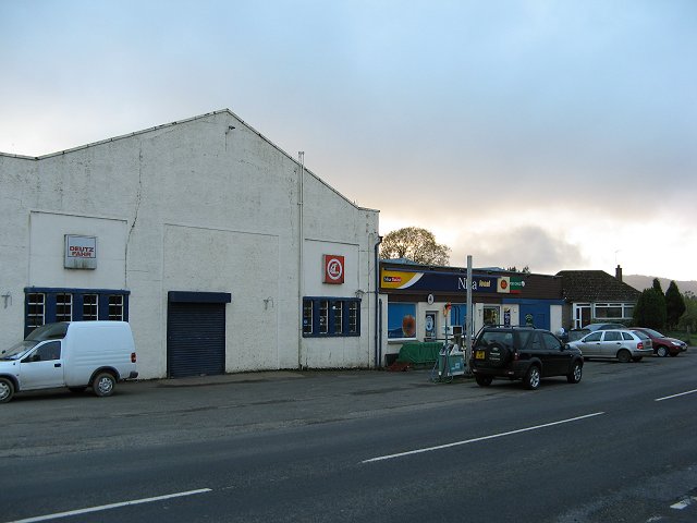
Despite its small size, Gellyburn boasts a few amenities to cater to its inhabitants. The village has a local pub, which serves as a hub for socializing and community gatherings. Additionally, there is a small convenience store that provides essential goods for residents.
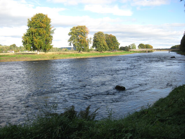
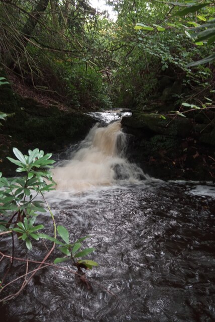
The surrounding area offers numerous opportunities for outdoor activities and exploration. Gellyburn is located near the picturesque River Tay, where residents and visitors can enjoy fishing or leisurely walks along its banks. The nearby hills and forests provide ample opportunities for hiking, cycling, and wildlife spotting.
While Gellyburn may be a quiet and secluded village, it benefits from its proximity to Perth, which offers a wider range of amenities, including shops, restaurants, and cultural attractions. The village also benefits from good transportation links, with regular bus services connecting it to surrounding towns and cities.
Overall, Gellyburn is a charming and peaceful village, perfect for those seeking a rural retreat amidst stunning Scottish scenery.
If you have any feedback on the listing, please let us know in the comments section below.
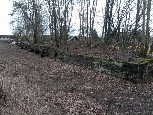
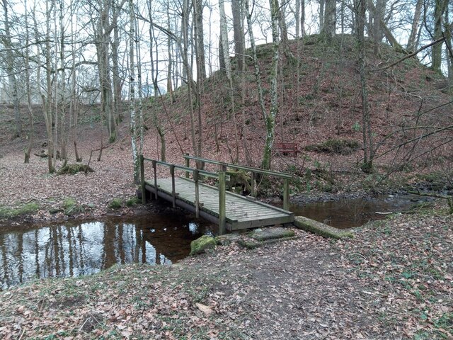
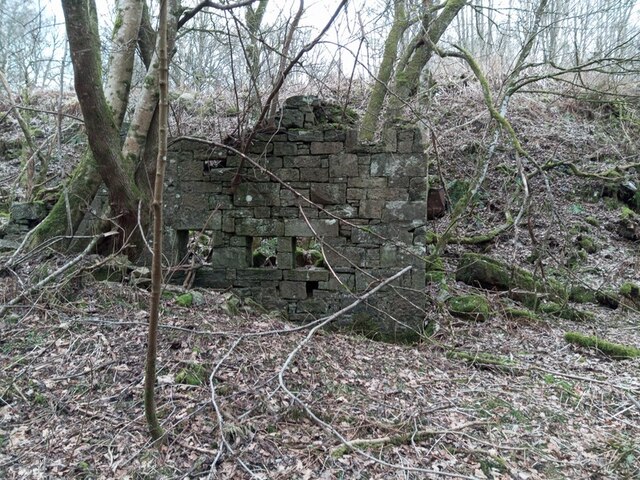
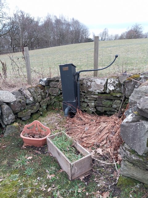
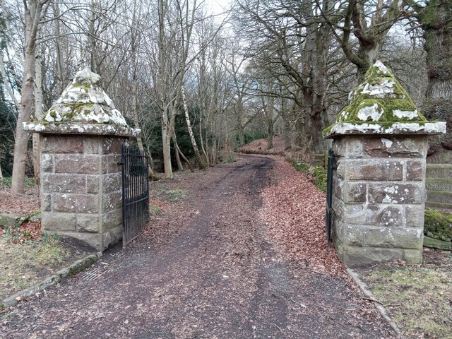
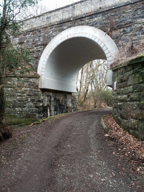
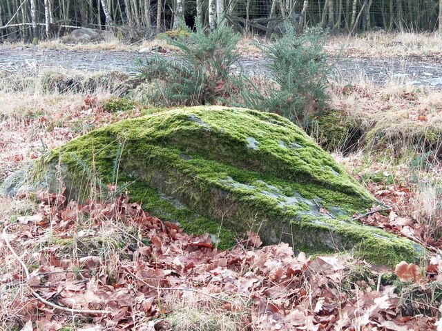
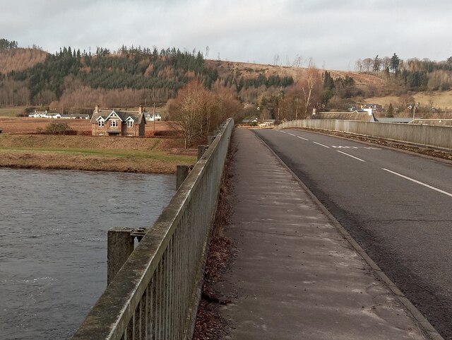
Gellyburn Images
Images are sourced within 2km of 56.534675/-3.4721296 or Grid Reference NO0939. Thanks to Geograph Open Source API. All images are credited.


Gellyburn is located at Grid Ref: NO0939 (Lat: 56.534675, Lng: -3.4721296)
Unitary Authority: Perth and Kinross
Police Authority: Tayside
What 3 Words
///clap.perfectly.pythons. Near Bankfoot, Perth & Kinross
Nearby Locations
Related Wikis
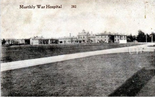
Murthly Hospital
Murthly Hospital, previously known as Murthly Asylum, Perth District Asylum and Perth and District Mental Hospital was a psychiatric hospital in Murthly...
Murthly
Murthly (Scottish Gaelic Mòrthlaich) is a village in Perth and Kinross, Scotland. It lies on the south bank of the River Tay, 5 miles (8 kilometres) southeast...

Murthly railway station
Murthly railway station served the village of Murthly, Perth and Kinross, Scotland from 1856 to 1965 on the Perth and Dunkeld Railway. The railway line...

Caputh, Perth and Kinross
Caputh ( KAY-pəth) is a parish and village in Perth and Kinross, Scotland. It lies on the A984 Coupar Angus-to-Dunkeld road, about 6 miles (10 kilometres...
Nearby Amenities
Located within 500m of 56.534675,-3.4721296Have you been to Gellyburn?
Leave your review of Gellyburn below (or comments, questions and feedback).