Garston
Settlement in Hertfordshire Watford
England
Garston
Garston is a small suburban town located in the county of Hertfordshire, England. It is situated approximately four miles northwest of Watford, a major town in the region. The town has a population of around 8,000 residents and is part of the Three Rivers District.
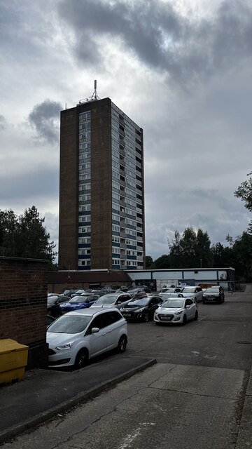
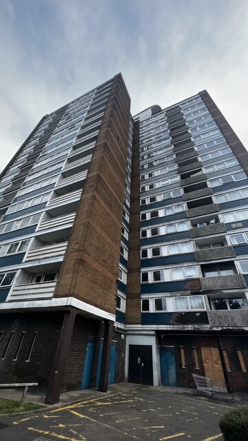
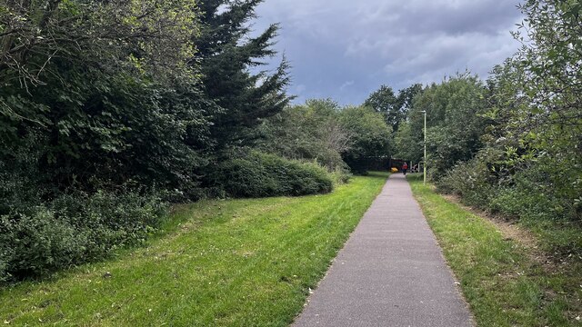
Garston has a rich history dating back to the Roman times, with evidence of Roman occupation found in the area. Over the years, the town has transformed from a rural village into a vibrant residential area. It offers a mix of housing, ranging from modern developments to older, traditional properties. The town also has a number of green spaces and parks, providing residents with recreational areas.
In terms of amenities, Garston has a range of local shops, including convenience stores, supermarkets, and independent businesses. There are also several pubs, restaurants, and cafes, offering a variety of dining options. The town benefits from good transport links, with easy access to major roads like the M1 and M25 motorways. Garston Railway Station provides regular train services to London Euston, making it an attractive place to live for commuters.
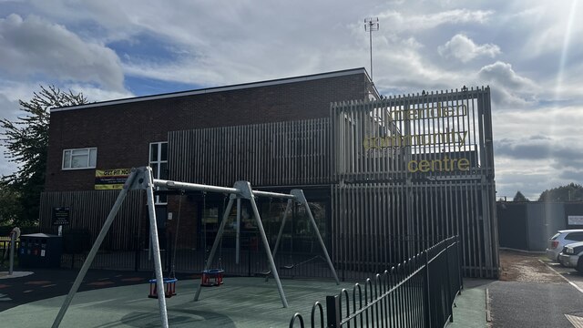
Garston is home to a number of schools, both primary and secondary, ensuring that families have access to quality education. The town also has a community center, where various activities and events take place throughout the year.
Overall, Garston is a pleasant suburb with a strong sense of community. Its convenient location, amenities, and transport links make it an appealing place to live for both families and professionals alike.
If you have any feedback on the listing, please let us know in the comments section below.
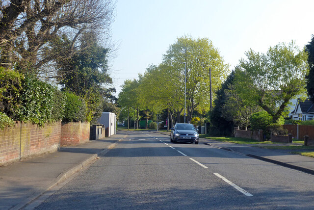
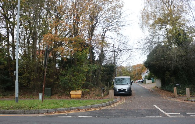
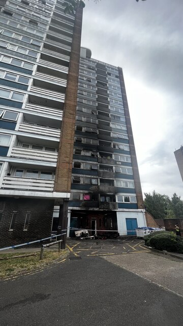
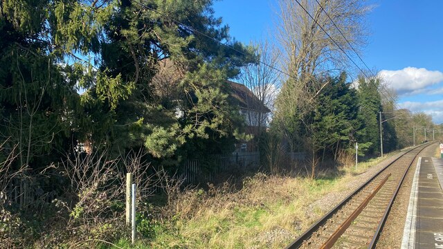
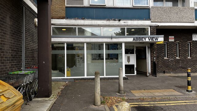
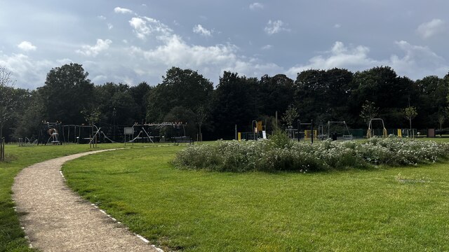
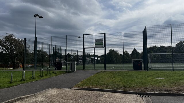
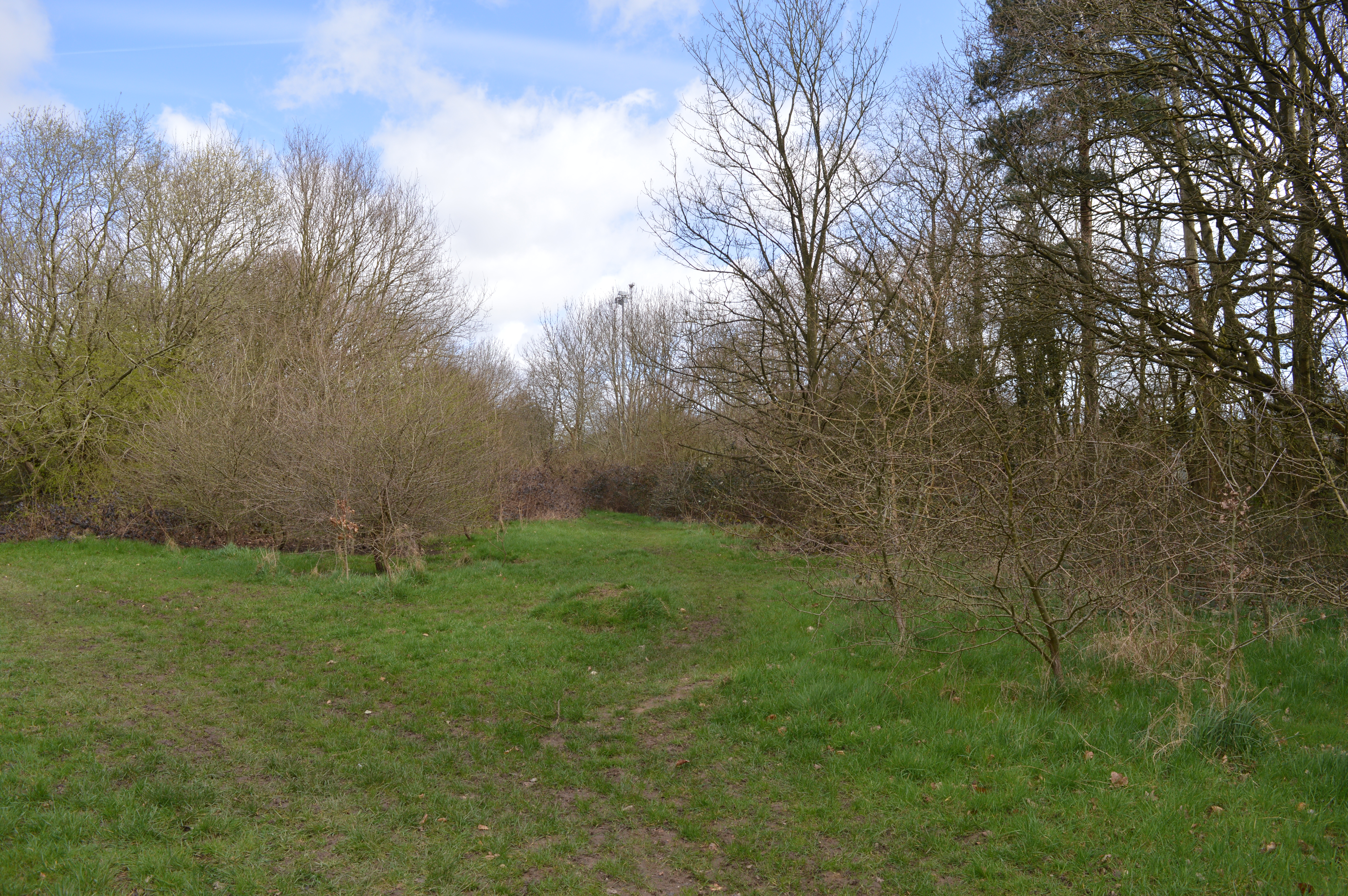
Garston Images
Images are sourced within 2km of 51.689652/-0.38624802 or Grid Reference TL1100. Thanks to Geograph Open Source API. All images are credited.


Garston is located at Grid Ref: TL1100 (Lat: 51.689652, Lng: -0.38624802)
Administrative County: Hertfordshire
District: Watford
Police Authority: Hertfordshire
What 3 Words
///labs.backup.swear. Near Abbots Langley, Hertfordshire
Nearby Locations
Related Wikis

Garston, Hertfordshire
Garston is a suburban village in Hertfordshire, England. Garston is contiguous with Watford and now, despite retaining a local identity, is effectively...

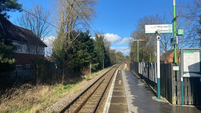
Garston railway station (Hertfordshire)
Garston railway station serves the Garston area of Watford in Hertfordshire, England. It is the third station on the Abbey Line after Watford Junction...
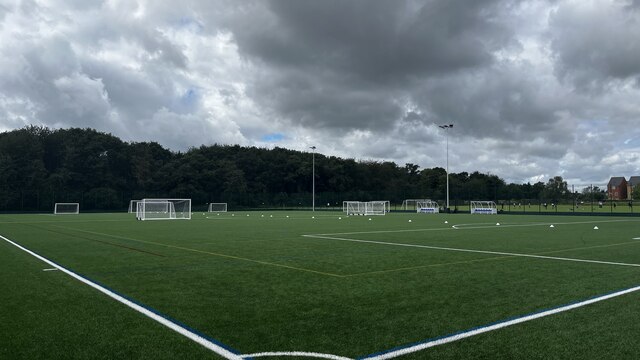
Garston Park
Garston Park is a park in Garston, Hertfordshire, a suburb of Watford in Hertfordshire. An area of 6.4 hectares, about half of the park, is a Local Nature...

Stanborough Park Church
Stanborough Park Church is a Seventh-day Adventist church located in the grounds of Stanborough Park in Watford, Hertfordshire. == History == The foundation...
Nearby Amenities
Located within 500m of 51.689652,-0.38624802Have you been to Garston?
Leave your review of Garston below (or comments, questions and feedback).