Friar's Wash
Settlement in Hertfordshire Dacorum
England
Friar's Wash
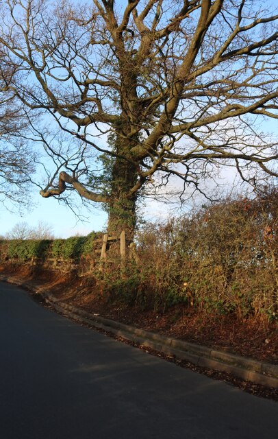
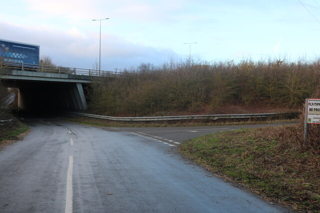
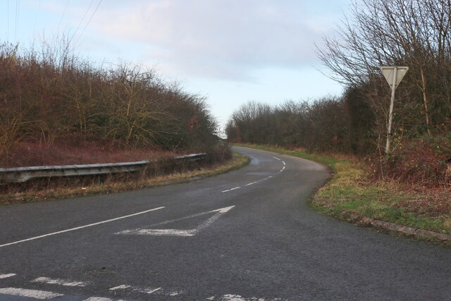
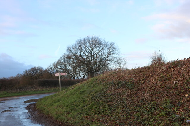
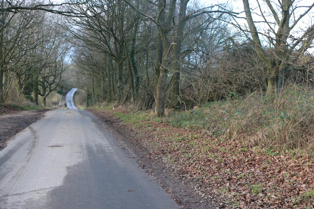
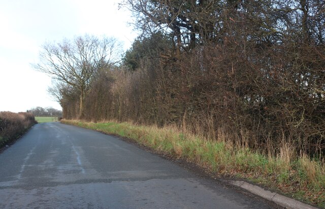
Friar's Wash is a small village located in the county of Hertfordshire, England. Situated approximately 20 miles north of London, it falls within the local government district of North Hertfordshire. The village is nestled in a picturesque rural setting, surrounded by rolling hills, lush green fields, and dense woodlands, making it an ideal location for nature enthusiasts and those seeking a peaceful retreat.
The origins of the village can be traced back to medieval times, with historical records dating back to the 12th century. The name "Friar's Wash" is said to have derived from a nearby brook that was used by friars for washing their laundry. Today, the brook still runs through the village, adding to its charm and tranquility.
The village itself is characterized by a mix of period cottages and more modern houses, giving it a unique blend of old-world charm and contemporary living. It boasts a close-knit community with a strong sense of pride in its heritage and a warm welcome to visitors.
Though small in size, Friar's Wash offers a range of amenities to its residents and visitors. These include a village hall, a local pub, a primary school, and a post office. Additionally, the surrounding countryside offers ample opportunities for outdoor activities such as hiking, cycling, and horse riding.
Overall, Friar's Wash is a delightful village that combines natural beauty, historical significance, and a strong sense of community. It provides a tranquil escape from the bustling city life while still offering essential amenities and a charming atmosphere that attracts both locals and tourists alike.
If you have any feedback on the listing, please let us know in the comments section below.
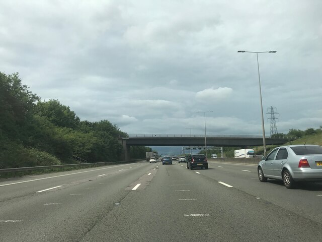
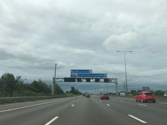
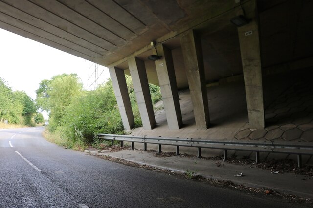
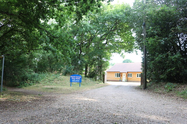
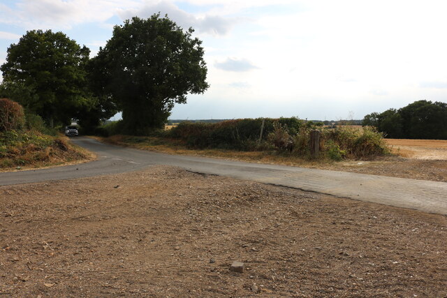
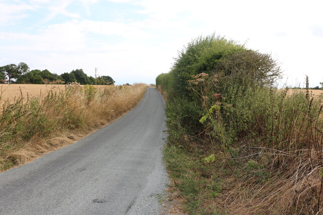
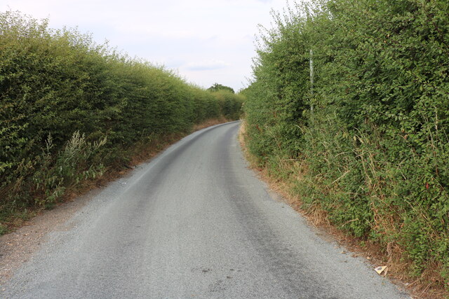
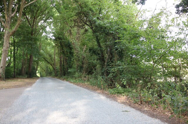
Friar's Wash Images
Images are sourced within 2km of 51.823584/-0.42716008 or Grid Reference TL0815. Thanks to Geograph Open Source API. All images are credited.


Friar's Wash is located at Grid Ref: TL0815 (Lat: 51.823584, Lng: -0.42716008)
Administrative County: Hertfordshire
District: Dacorum
Police Authority: Hertfordshire
What 3 Words
///globe.crown.loss. Near Markyate, Hertfordshire
Nearby Locations
Related Wikis
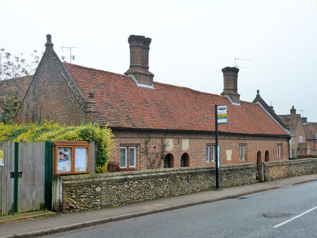
Saunders Almshouses
The Saunders Almshouses are Grade II* listed almshouses in Flamstead, Hertfordshire, England. They date from 1669 and were built for Thomas Saunders of...

Flamstead
Flamstead is a village and civil parish in north-west Hertfordshire, England, close to the junction of the A5 and the M1 motorway at junction 9. The name...

Harpenden Rural
Harpenden Rural is a civil parish in the City and District of St Albans in Hertfordshire, England, to the west of Harpenden parish. The local council is...

Markyate
Markyate () is a village and civil parish in north-west Hertfordshire, close to the border with Bedfordshire and Buckinghamshire. == Geography == The name...
Markyate Rural District
Markyate Rural District was a short-lived rural district in Hertfordshire, England from 1894 to 1897, on the borders with Bedfordshire. The district was...
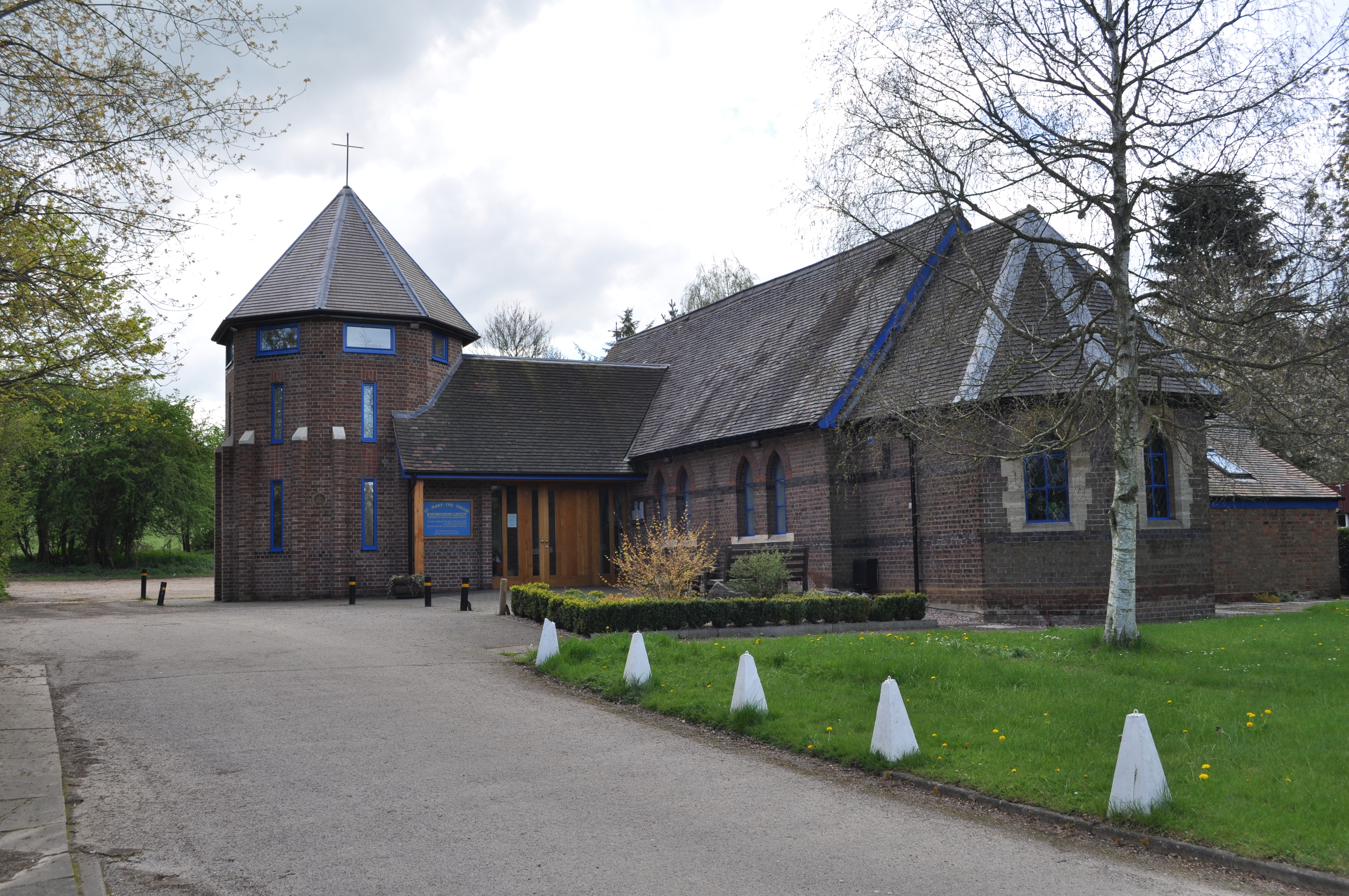
Kinsbourne Green
Kinsbourne Green is a small hamlet to the north-west of Harpenden in Hertfordshire, England. The hamlet is now geographically virtually contiguous with...

Caddington Hall
Caddington Hall was a country estate in Markyate, Bedfordshire, England. The house was demolished in 1975.In 1804, a family by the name of Pedley traded...

Pepperstock
Pepperstock is a small village located in Central Bedfordshire, England. The village itself mostly consists of residential caravan parks. However, Pepperstock...
Nearby Amenities
Located within 500m of 51.823584,-0.42716008Have you been to Friar's Wash?
Leave your review of Friar's Wash below (or comments, questions and feedback).