Freehold
Settlement in Lancashire Lancaster
England
Freehold
Freehold is a small village located in the County of Lancashire, in the northwest of England. Situated in the picturesque countryside, Freehold offers a peaceful and idyllic setting for its residents. The village is situated approximately 10 miles northeast of the city of Preston and is surrounded by rolling hills and lush green fields.
Freehold is known for its rich history, with evidence of human settlement dating back to Roman times. The village has retained much of its traditional charm, with quaint stone cottages lining the narrow streets. The local church, St. Mary's, is a prominent landmark in the village, boasting stunning architecture and a peaceful atmosphere.
Despite its small size, Freehold offers a range of amenities for its residents. There is a local primary school, providing education for the village's younger population. The village also has a community center, where residents can participate in various activities and events throughout the year. Additionally, there are a few local shops and pubs, providing essential services and a place for residents to socialize.
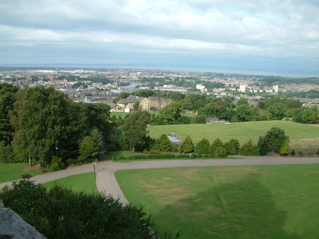
The surrounding countryside offers ample opportunities for outdoor activities such as hiking, cycling, and horseback riding. The village is also situated near several nature reserves, allowing residents to explore and appreciate the local flora and fauna.
Overall, Freehold is a charming and close-knit village, offering a peaceful and rural lifestyle for its residents, while still providing essential amenities and access to the beautiful Lancashire countryside.
If you have any feedback on the listing, please let us know in the comments section below.
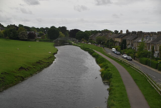
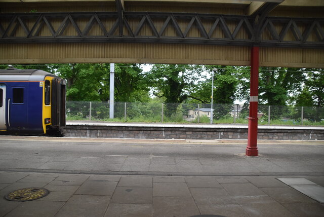
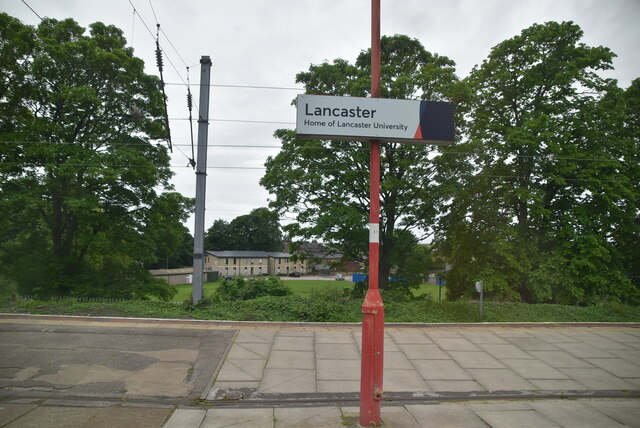
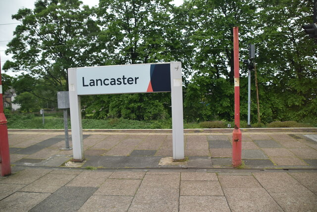
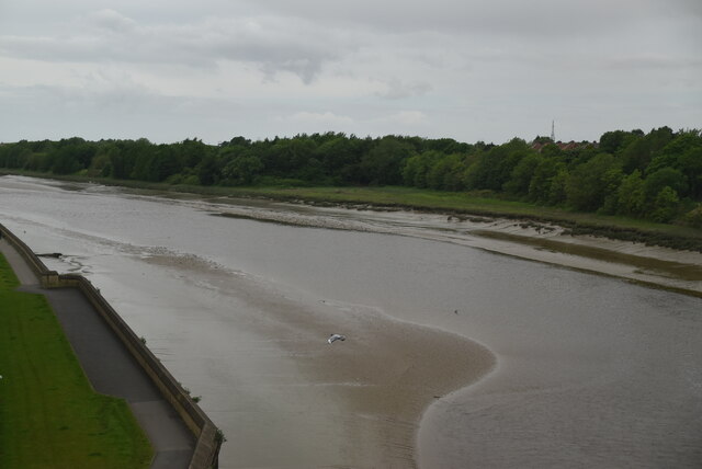
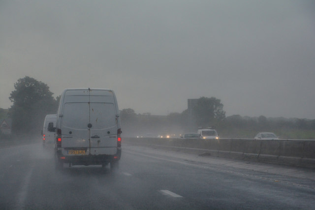
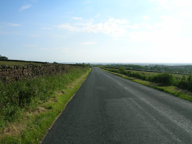
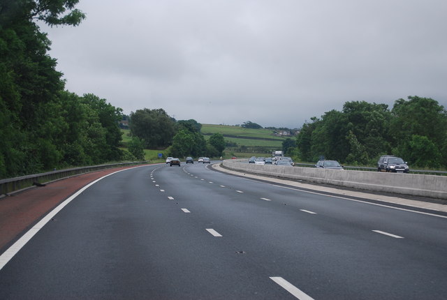
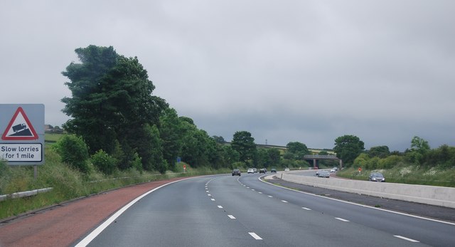
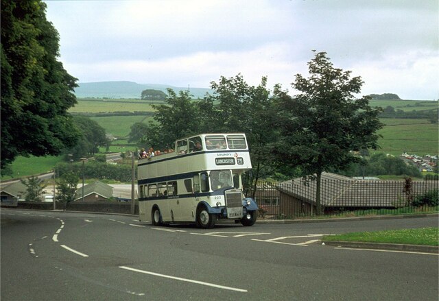
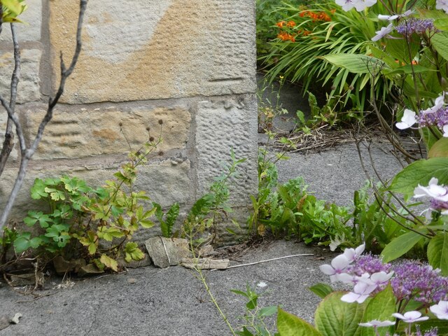
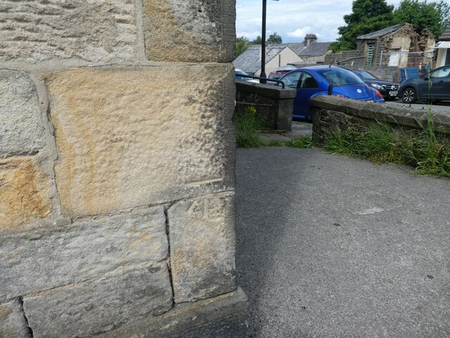
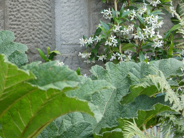
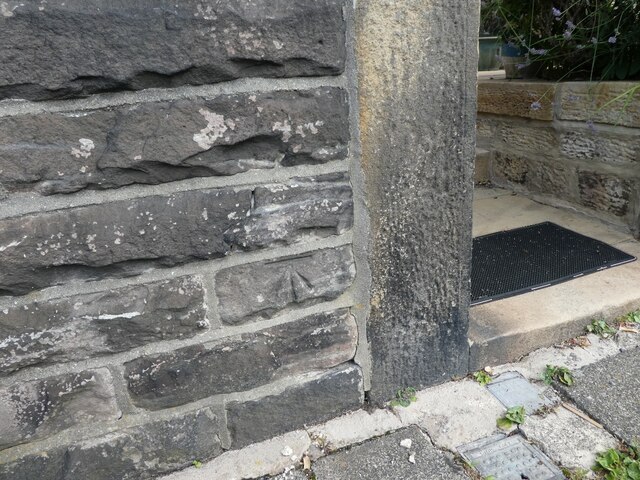
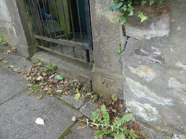
Freehold Images
Images are sourced within 2km of 54.049956/-2.7891374 or Grid Reference SD4861. Thanks to Geograph Open Source API. All images are credited.


Freehold is located at Grid Ref: SD4861 (Lat: 54.049956, Lng: -2.7891374)
Administrative County: Lancashire
District: Lancaster
Police Authority: Lancashire
What 3 Words
///promoted.reporter.immune. Near Lancaster, Lancashire
Related Wikis

The Gregson Centre
The Gregson Centre in Lancaster, England (previously known as the Gregson Institute) is an arts and community centre, music venue and Cafe-bar. There is...
Williamson Park, Lancaster
Williamson Park in Lancaster, England, was constructed by millionaire James Williamson, 1st Baron Ashton, and his father, also called James Williamson...
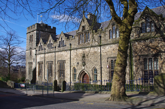
Lancaster Royal Grammar School
Lancaster Royal Grammar School (LRGS) is an 11–18 boys grammar school in Lancaster, Lancashire, England. Old students belong to The Old Lancastrians. The...

Lancaster Cathedral
Lancaster Cathedral, also known as The Cathedral Church of St Peter and Saint Peter's Cathedral, is a Roman Catholic cathedral in Lancaster, Lancashire...

St Walburga's Convent, Lancaster
St Walburga's Convent stands to the north of Balmoral Road, Lancaster, in Lancashire, England. It was built in 1851–53, and designed by the local architect...

Christ Church, Lancaster
Christ Church is in Wyresdale Road, Lancaster, Lancashire, England. It is an active Anglican parish church in the deanery of Lancaster and Morecambe, the...
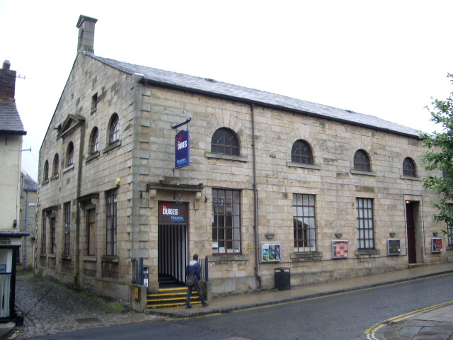
The Dukes, Lancaster
The Dukes is a theatre in Lancaster, England. It is the county's only producing theatre venue, and is an Arts Council England National Portfolio Organisation...
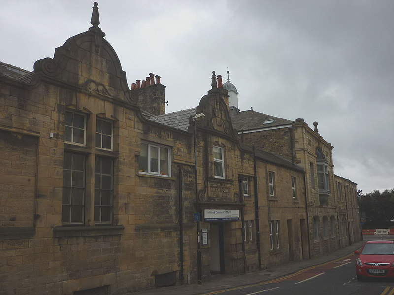
Phoenix Street drill hall, Lancaster
The Phoenix Street drill hall is a former military installation in Lancaster, Lancashire. == History == The building was designed as the headquarters...
Related Videos
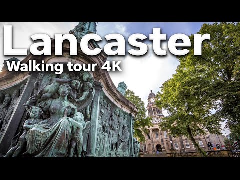
Lancaster walking tour 4k | Lancaster Uk | Lancashire
Lancaster is a city and the county town of Lancashire, England. It stands on the River Lune and has a population of 52234.


walking around, Lancaster Lancashire 4k
walking around, Lancaster Lancashire 4k =================== Welcome to another video walking, and recording the sounds ...
Nearby Amenities
Located within 500m of 54.049956,-2.7891374Have you been to Freehold?
Leave your review of Freehold below (or comments, questions and feedback).