Foxley
Settlement in Northamptonshire
England
Foxley

Foxley is a small village located in the county of Northamptonshire, in the East Midlands region of England. Situated approximately 10 miles northwest of the county town of Northampton, Foxley is a rural community surrounded by picturesque countryside.
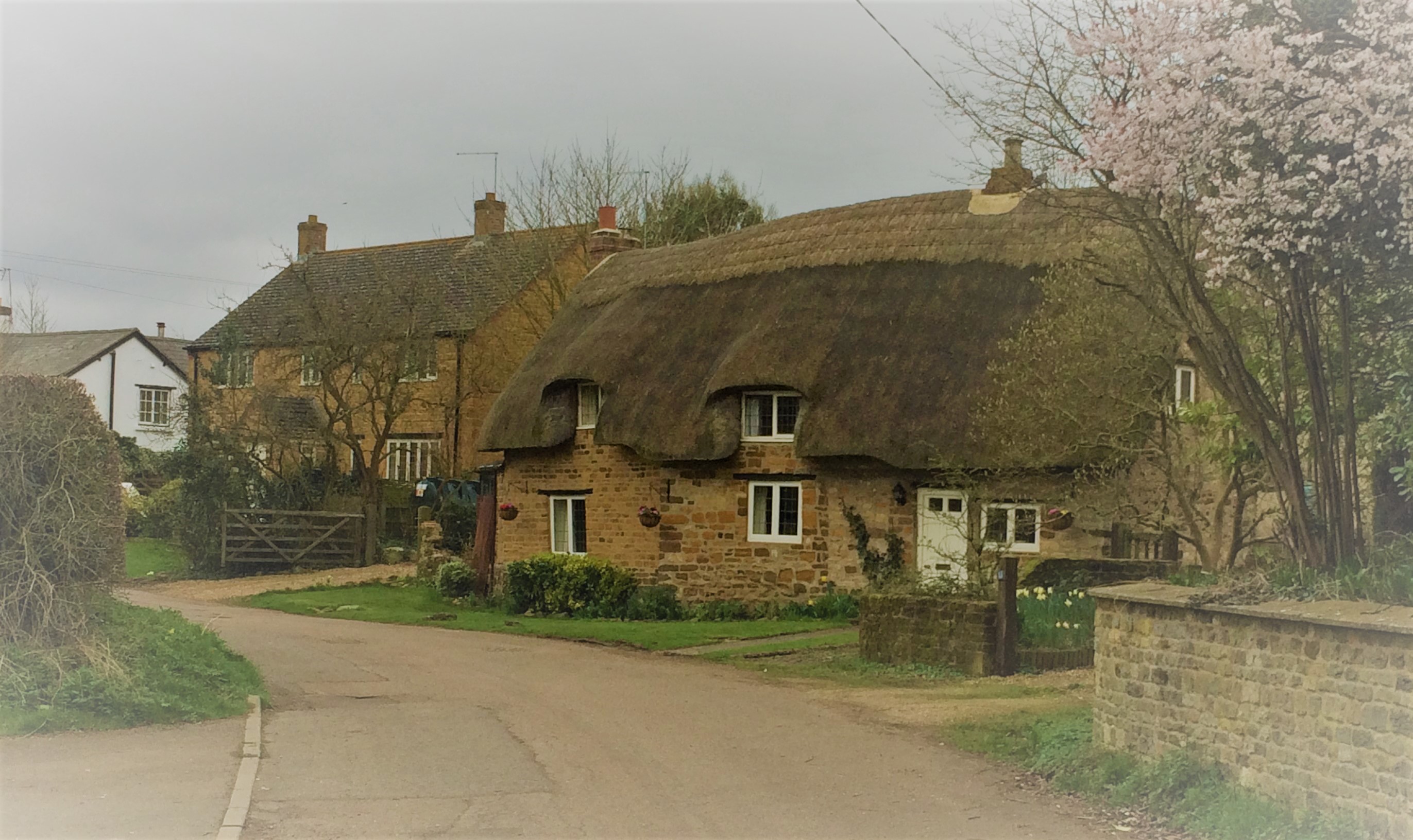
The village is characterized by its charming and tranquil atmosphere, with a population of around 200 residents. It is predominantly a residential area, with a few small businesses catering to the local community's needs. The architecture within Foxley showcases a mix of traditional stone cottages and more modern houses, blending together to create a unique and appealing aesthetic.
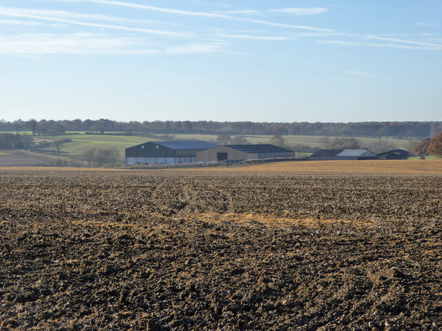
Foxley is blessed with natural beauty, boasting rolling hills, green fields, and woodland areas. It offers plenty of opportunities for outdoor activities such as walking, cycling, and horse riding. The nearby Pitsford Reservoir is a popular spot for birdwatching and fishing.
While Foxley itself may not have many amenities, it benefits from its proximity to larger towns and cities. Northampton, with its wide range of shops, restaurants, and cultural attractions, is easily accessible by car or public transport.
The village has a close-knit community, and residents often come together for events and activities organized by local organizations and community groups. The Foxley Arms, the village's only pub, serves as a social hub for residents and visitors alike.
In summary, Foxley is a picturesque and peaceful village in Northamptonshire, offering a tranquil countryside setting and a close community spirit.
If you have any feedback on the listing, please let us know in the comments section below.
Foxley Images
Images are sourced within 2km of 52.161063/-1.0662093 or Grid Reference SP6351. Thanks to Geograph Open Source API. All images are credited.


Foxley is located at Grid Ref: SP6351 (Lat: 52.161063, Lng: -1.0662093)
Unitary Authority: West Northamptonshire
Police Authority: Northamptonshire
What 3 Words
///replayed.petulant.voting. Near Towcester, Northamptonshire
Nearby Locations
Related Wikis

Caswell, Northamptonshire
Caswell is a lost settlement within Greens Norton civil parish in West Northamptonshire, England, approximately 3 miles (5 km) north-west of Towcester...

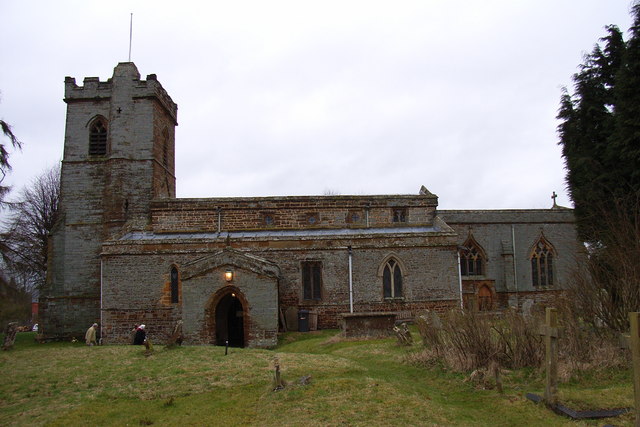
Blakesley
Blakesley is a village in the West Northamptonshire, England. It is about 5 miles (8 km) west of Towcester. It is about 400 feet (120 m) above sea level...
Grimscote
Grimscote is a hamlet in the civil parish of Cold Higham, in the West Northamptonshire district of Northamptonshire, England. Grimscote is one of 4 settlements...
Cold Higham
Cold Higham is a village and civil parish in Northamptonshire, England. Cold Higham Parish, also includes Fosters Booth (West), Grimscote, and Potcote...
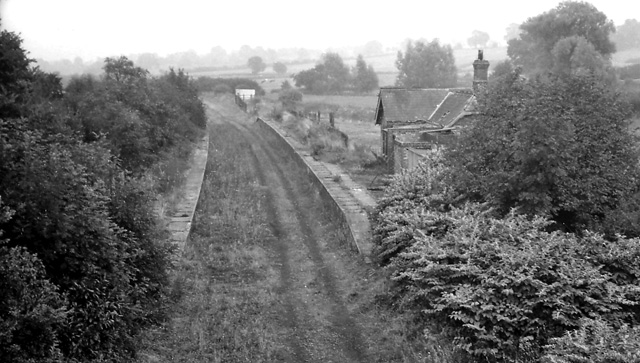
Blakesley railway station
Blakesley was a railway station on the Stratford-upon-Avon and Midland Junction Railway (SMJ) which served the Northamptonshire village of Blakesley between...
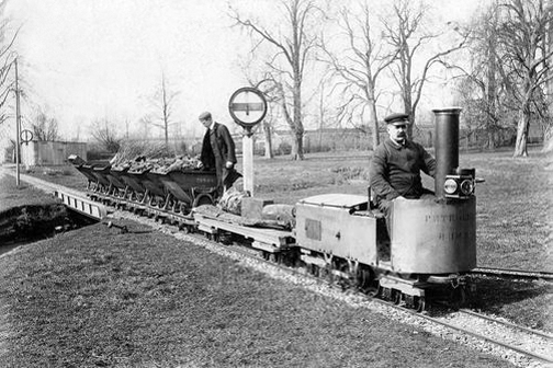
Blakesley Miniature Railway
The Blakesley Miniature Railway was an 804-yard-long (735 m) 15 in (381 mm) gauge railway from Blakesley railway station to Blakesley Hall in Blakesley...
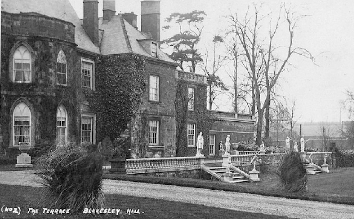
Blakesley Hall, Northamptonshire
Blakesley Hall was a 13th-century manor house situated near the village of Blakesley in Northamptonshire, England. It was demolished in 1957-58. ��2�...
Litchborough
Litchborough is an historic village and civil parish in West Northamptonshire, England. At the time of the 2001 census, the parish's population was 300...
Nearby Amenities
Located within 500m of 52.161063,-1.0662093Have you been to Foxley?
Leave your review of Foxley below (or comments, questions and feedback).