Florence Park
Settlement in Oxfordshire Oxford
England
Florence Park

Florence Park is a vibrant residential area located in the city of Oxford, Oxfordshire, England. Situated approximately two miles southeast of the city center, it covers an area of around 36 hectares. The neighborhood was primarily constructed in the 1930s and consists mainly of semi-detached and terraced houses, offering a mix of private and social housing.
The park after which the area is named, Florence Park, is a central feature of the neighborhood. It spans approximately 13 acres and boasts well-maintained green spaces, sports facilities, and a children's play area. The park provides a serene and picturesque environment for local residents to relax, exercise, and enjoy outdoor activities.
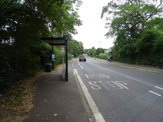
The area is well-served by public transportation, with several bus routes passing through Florence Park, connecting it to the city center and other parts of Oxfordshire. Additionally, the neighborhood benefits from being within close proximity to the Oxford Ring Road, offering easy access to major roads and highways.
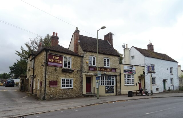
Florence Park is home to a diverse community, attracting families, professionals, and students alike. It benefits from a range of local amenities, including shops, cafes, and schools, making it an attractive place to live. The nearby Cowley Road offers a vibrant mix of restaurants, bars, and independent stores, further enhancing the area's appeal.
Overall, Florence Park in Oxfordshire provides a desirable residential location with its green spaces, convenient transportation links, and a range of amenities, making it an appealing place to call home.
If you have any feedback on the listing, please let us know in the comments section below.
Florence Park Images
Images are sourced within 2km of 51.735228/-1.2217766 or Grid Reference SP5304. Thanks to Geograph Open Source API. All images are credited.


Florence Park is located at Grid Ref: SP5304 (Lat: 51.735228, Lng: -1.2217766)
Administrative County: Oxfordshire
District: Oxford
Police Authority: Thames Valley
What 3 Words
///copies.muddy.ears. Near Cowley, Oxfordshire
Nearby Locations
Related Wikis

Greyfriars Catholic School
Greyfriars Catholic School is a mixed Roman Catholic secondary school with academy status, located in Cowley, Oxfordshire, England. At the end of the 2021...

Rose Hill Cemetery, Oxford
Rose Hill Cemetery is a cemetery located in Rose Hill, Oxford, England. It was opened in 1889 and has more than 20,000 burials. It covers over 11 acres...
Cowley, Oxfordshire
Cowley () is a residential and industrial area in Oxford, England. Cowley's neighbours are Rose Hill and Blackbird Leys to the south, Headington to the...
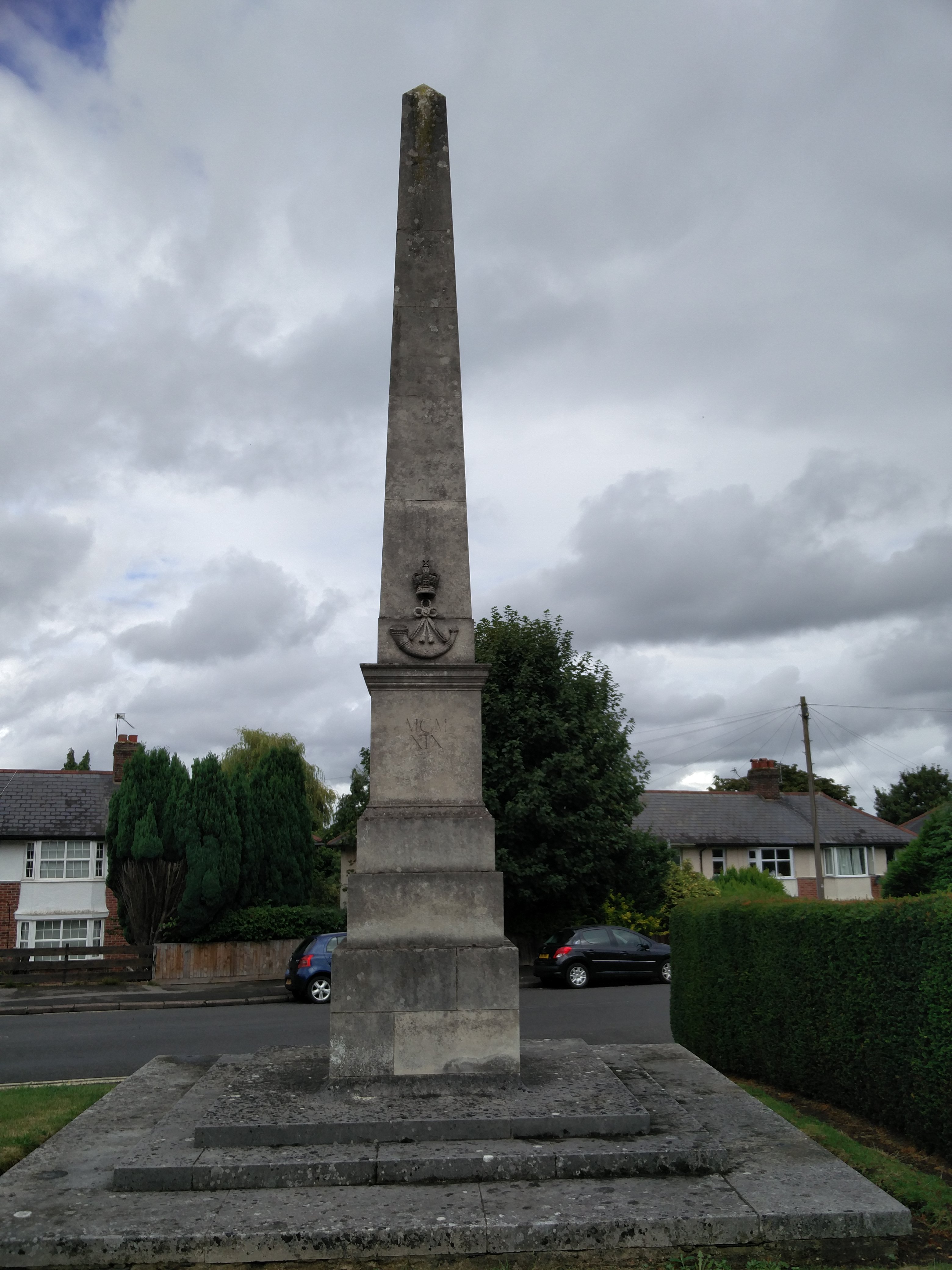
Oxfordshire and Buckinghamshire Light Infantry War Memorial
The Oxfordshire and Buckinghamshire Light Infantry War Memorial is a First World War memorial in the Cowley area of Oxford in southern England. Designed...
Nearby Amenities
Located within 500m of 51.735228,-1.2217766Have you been to Florence Park?
Leave your review of Florence Park below (or comments, questions and feedback).