Fiddes
Settlement in Kincardineshire
Scotland
Fiddes

Fiddes is a small village located in the historic county of Kincardineshire, Scotland. Situated in the northeastern part of the country, Fiddes is nestled amidst picturesque countryside and rolling hills. The village is surrounded by beautiful landscapes, offering its residents and visitors a tranquil and idyllic setting.
Fiddes is a close-knit community, with a population of around 200 people. The village is known for its strong sense of community spirit and friendly atmosphere. Residents take pride in maintaining the village's charm and beauty, evident in the well-kept gardens and traditional stone houses that line its streets.
Despite its small size, Fiddes boasts a rich history. The village is home to a number of historic landmarks, including a 16th-century church and a quaint village hall. These buildings serve as reminders of Fiddes' past and provide a glimpse into the village's cultural heritage.
The surrounding area offers plenty of opportunities for outdoor activities. The nearby hills and forests are popular among nature enthusiasts, providing ample hiking and walking trails. Fiddes is also close to the stunning Aberdeenshire coastline, offering breathtaking views and sandy beaches for those seeking a day by the sea.
While Fiddes does not have its own shops or amenities, it is conveniently located near larger towns and cities. The village offers a peaceful retreat from the hustle and bustle of urban life, while still providing easy access to essential services and amenities.
In summary, Fiddes is a charming village in Kincardineshire, Scotland, known for its close-knit community, beautiful landscapes, and rich history. It offers a peaceful and picturesque setting, making it an ideal place for those seeking a tranquil escape in the Scottish countryside.
If you have any feedback on the listing, please let us know in the comments section below.
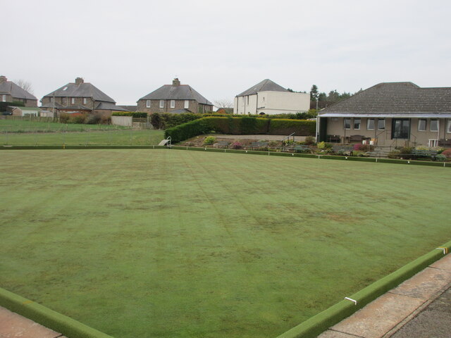
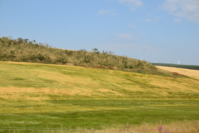
Fiddes Images
Images are sourced within 2km of 56.918333/-2.3224054 or Grid Reference NO8080. Thanks to Geograph Open Source API. All images are credited.


Fiddes is located at Grid Ref: NO8080 (Lat: 56.918333, Lng: -2.3224054)
Unitary Authority: Aberdeenshire
Police Authority: North East
What 3 Words
///complies.haircuts.arranges. Near Stonehaven, Aberdeenshire
Nearby Locations
Related Wikis
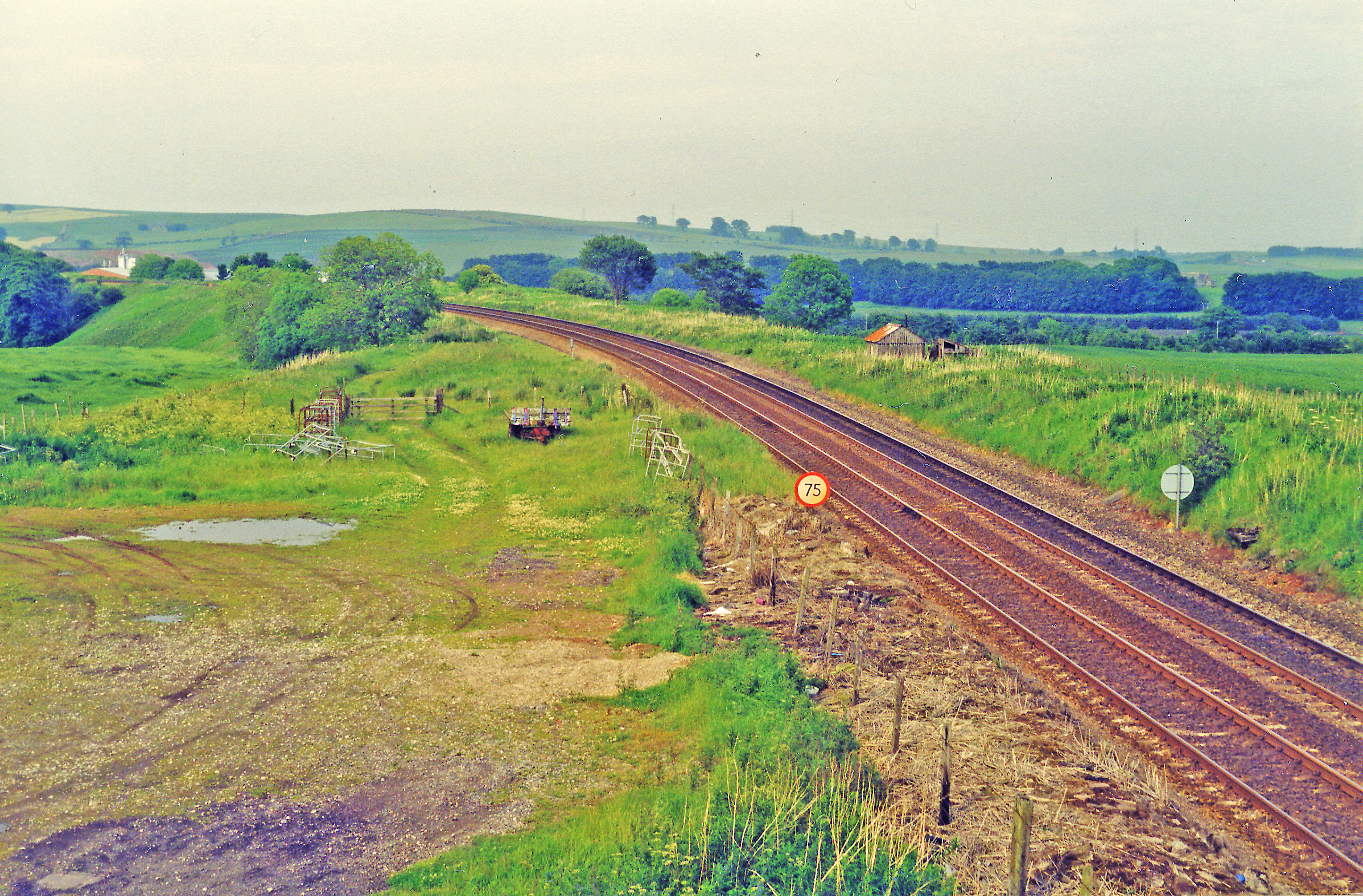
Drumlithie railway station
Drumlithie railway station served the village of Drumlithie, Aberdeenshire, Scotland from 1849 to 1956 on the Aberdeen Railway. == History == The station...

Drumlithie
Drumlithie is a village in the Howe of the Mearns in southern Aberdeenshire, Scotland. Situated seven miles south of Stonehaven in the parish of Glenbervie...

Castle of Fiddes
The Castle of Fiddes is a 16th-century tower house in Aberdeenshire, Scotland, located around 6 kilometres (3.7 mi) south-west of Stonehaven. It is dated...

Carmont railway station
Carmont railway station, on the Aberdeen Railway, served the rural area of Carmont in Aberdeenshire, Scotland from 1855 to 1964. == History == The station...
Nearby Amenities
Located within 500m of 56.918333,-2.3224054Have you been to Fiddes?
Leave your review of Fiddes below (or comments, questions and feedback).