Fern Gore
Settlement in Lancashire Hyndburn
England
Fern Gore
Fern Gore is a small village located in the borough of Ribble Valley, Lancashire, in the northwest of England. Situated amidst a picturesque countryside setting, the village is known for its serene and tranquil atmosphere, making it an ideal retreat for those seeking a peaceful environment away from the hustle and bustle of city life.
Surrounded by lush green fields and rolling hills, Fern Gore offers breathtaking views of the Lancashire countryside. The village is characterized by its charming stone cottages, many of which date back several centuries, adding to its rustic and traditional appeal. The community is close-knit, with a friendly and welcoming atmosphere that is characteristic of rural Lancashire.
Despite its small size, Fern Gore boasts several local amenities, including a village hall, a primary school, and a pub, which serves as a social hub for the residents. The village is also well-connected to nearby towns and cities, with good transport links and easy access to major road networks.
Fern Gore's location provides ample opportunities for outdoor activities, such as hiking, cycling, and horse riding, with numerous scenic trails and bridleways in the surrounding countryside. The village is also within close proximity to the Forest of Bowland, an Area of Outstanding Natural Beauty, offering even more opportunities for nature enthusiasts.
Overall, Fern Gore offers a charming and peaceful rural lifestyle, making it an attractive destination for those seeking a close-knit community and a tranquil setting amidst the beauty of Lancashire's countryside.
If you have any feedback on the listing, please let us know in the comments section below.
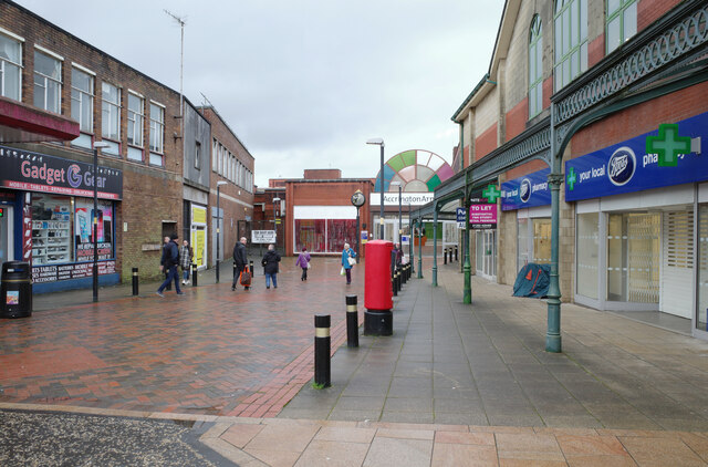
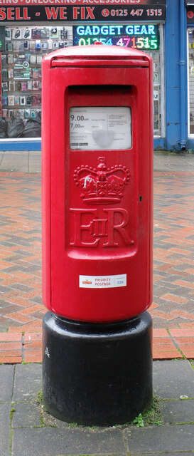
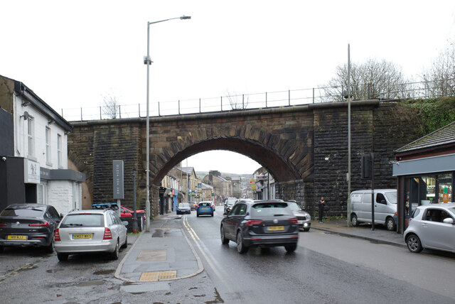
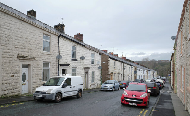
Fern Gore Images
Images are sourced within 2km of 53.742708/-2.3743095 or Grid Reference SD7527. Thanks to Geograph Open Source API. All images are credited.


Fern Gore is located at Grid Ref: SD7527 (Lat: 53.742708, Lng: -2.3743095)
Administrative County: Lancashire
District: Hyndburn
Police Authority: Lancashire
What 3 Words
///hazelnuts.jaundice.standards. Near Church, Lancashire
Nearby Locations
Related Wikis

Mount Carmel Roman Catholic High School
Mount Carmel Roman Catholic High School is a coeducational Roman Catholic secondary school located in Accrington, a town located in the county of Lancashire...

Globe Works, Accrington
The Globe Works is a former industrial works in Accrington, Lancashire, England, that following refurbishment contains rented offices and conference rooms...
Rhyddings
Rhyddings (formerly Rhyddings High School and then Rhyddings Business and Enterprise School) is a mixed secondary school located in Oswaldtwistle in the...

Cannon Street Baptist Church, Accrington
Cannon Street Baptist Church, Accrington is a Grade II listed former Baptist church in Accrington, Lancashire. == History == The congregation for which...

Accrington railway station
Accrington railway station serves the town of Accrington in Lancashire, England. It is a station on the East Lancashire line 6+1⁄4 miles (10.1 km) east...

Accrington Library
Accrington Library is a Carnegie library located in the town of Accrington, Lancashire. In 1904 a sum of £7,500 was offered to the town by the industrialist...

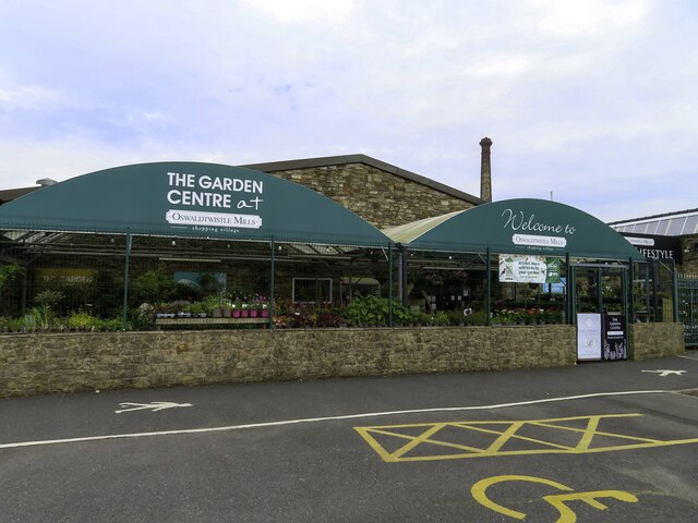
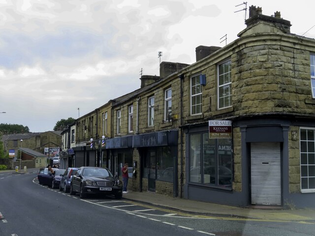
Oswaldtwistle
Oswaldtwistle ( "ozzel twizzel") is a town in the Hyndburn borough of Lancashire, England, 3 miles (5 km) southeast of Blackburn, contiguous with Accrington...
Haworth Art Gallery
The Haworth Art Gallery is a public art gallery located in Accrington, Lancashire, northwest England, and is the home of the largest collection in Europe...
Nearby Amenities
Located within 500m of 53.742708,-2.3743095Have you been to Fern Gore?
Leave your review of Fern Gore below (or comments, questions and feedback).