Fenny Castle

Settlement in Somerset Mendip

England

Fenny Castle

Godney Drove Running across the levels between Godney and Bleadney, becoming Yeap's Drove further north. It's starting to rain heavily.
Godney Drove Credit: Derek Harper

Fenny Castle is a historic site located in the county of Somerset, England. Situated near the village of South Cadbury, it is believed to have been a motte-and-bailey castle built in the 11th century. The castle is situated on a hilltop, offering commanding views of the surrounding countryside.

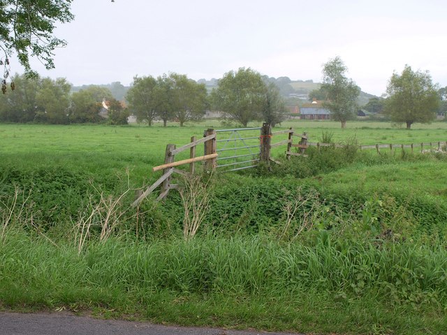
The site features a large mound, known as the motte, which was constructed using earthworks. This mound would have supported a wooden keep or tower, providing a strategic vantage point and a defensive position. Surrounding the motte is a bailey, an enclosed courtyard where domestic buildings and other structures would have been located.

The origins of Fenny Castle are unclear, with some theories suggesting it may have been built by the Normans after the Norman Conquest of England in 1066. Others believe it might have been constructed by the Saxons before the arrival of the Normans. Regardless of its origins, the castle was likely used as a stronghold and residence for local lords or nobles.

Today, Fenny Castle is a scheduled monument and a popular historical attraction. Visitors can explore the remains of the motte and bailey, walking along the earthworks and imagining the castle's former grandeur. Although the castle itself no longer stands, its historical significance and picturesque location make it a fascinating site to visit.

If you have any feedback on the listing, please let us know in the comments section below.
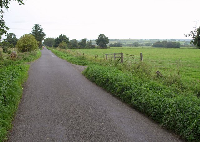
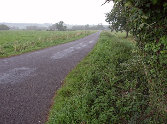
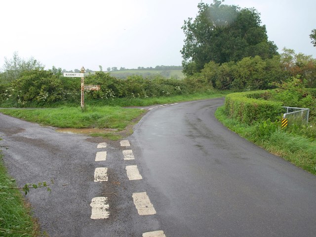
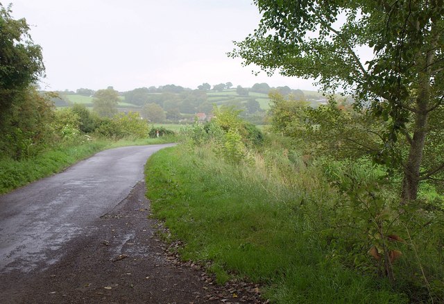
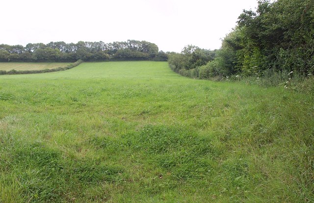
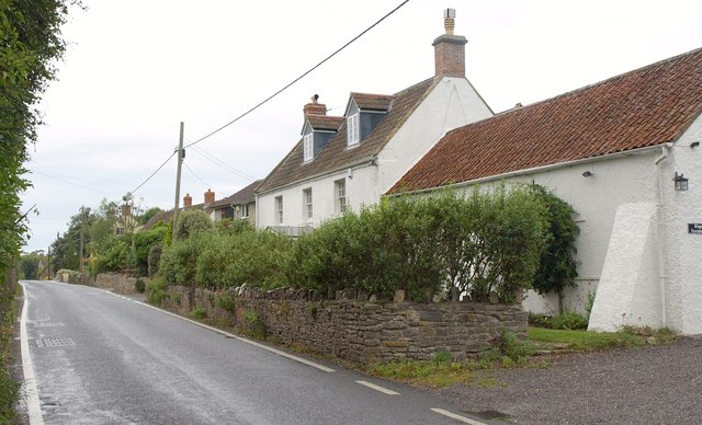
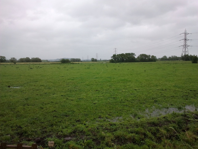
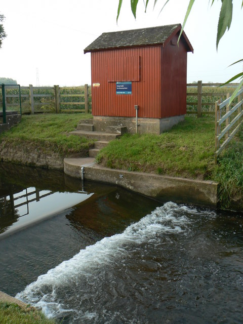
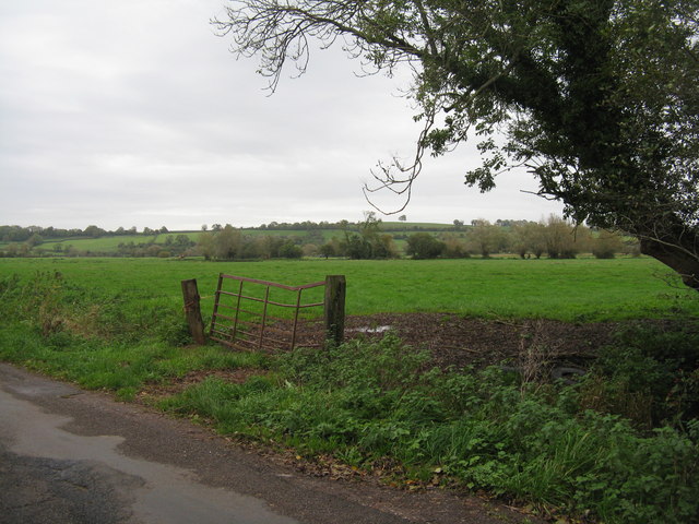
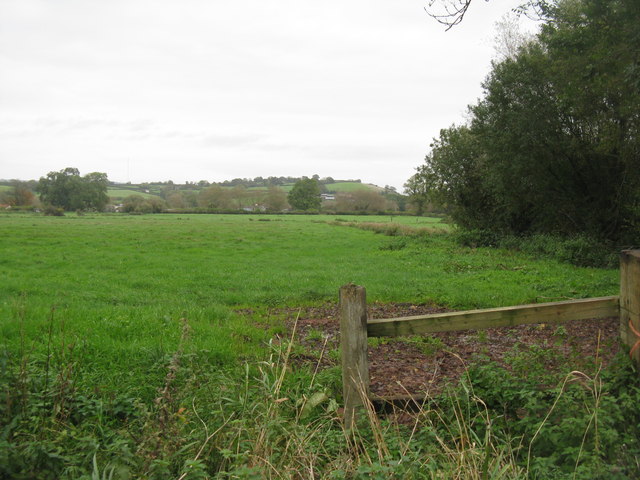
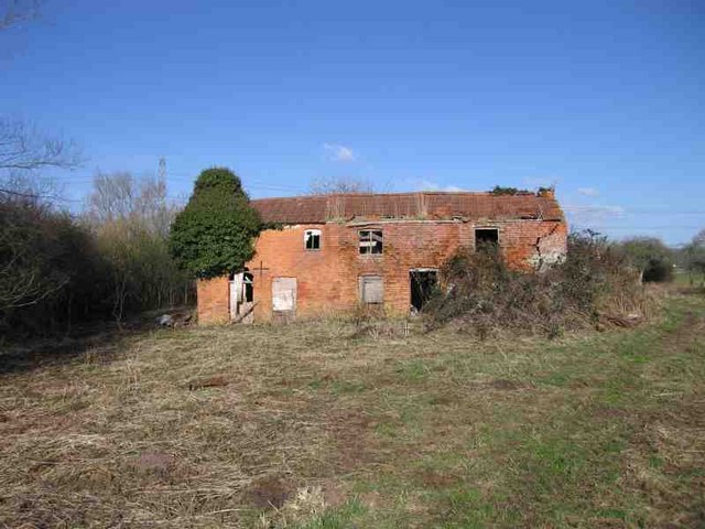
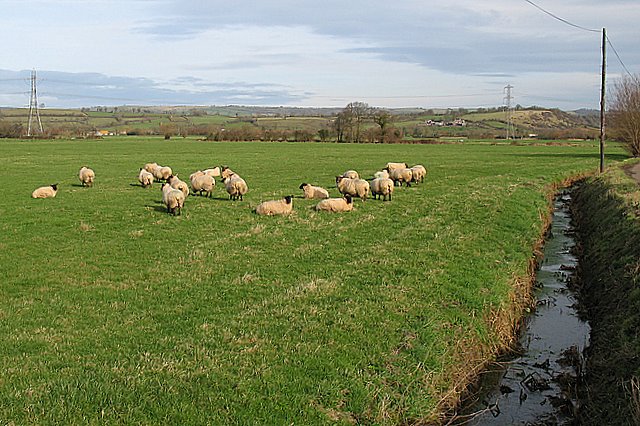
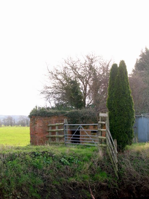
Fenny Castle Images

Images are sourced within 2km of 51.192652/-2.705199 or Grid Reference ST5043. Thanks to Geograph Open Source API. All images are credited.

Godney Drove Running across the levels between Godney and Bleadney, becoming Yeap's Drove further north. It's starting to rain heavily.
Godney Drove
Running across the levels between Godney and Bleadney, becoming Yeap's Drove further north. It's starting to rain heavily.
Hurn Drove The oak tree to the right of the camera provides welcome shelter while donning a raincoat as the heavens have opened. This is at the junction of Tripps, Yeap's, Godney and Hurn Droves.
Hurn Drove
The oak tree to the right of the camera provides welcome shelter while donning a raincoat as the heavens have opened. This is at the junction of Tripps, Yeap's, Godney and Hurn Droves.
Towards Shott's Farm A rainswept corner of the levels, seen from Hurn Drove.
Towards Shott's Farm
A rainswept corner of the levels, seen from Hurn Drove.
Junction of droves near Hurn Farm The unusually winding route of the lanes is determined by the circuitous course of the River Sheppey, just to the right. Left here is Leaze Drove; right is Ashmoor Drove. <a href="https://www.geograph.org.uk/photo/1863987">ST4944 : Turning for Bleadney</a> shows the junction from the opposite side. It's raining steadily, which explains the water on the lens in spite of best efforts to keep it dry.
Junction of droves near Hurn Farm
The unusually winding route of the lanes is determined by the circuitous course of the River Sheppey, just to the right. Left here is Leaze Drove; right is Ashmoor Drove. ST4944 : Turning for Bleadney shows the junction from the opposite side. It's raining steadily, which explains the water on the lens in spite of best efforts to keep it dry.
Ashmoor Drove A large tree offers a chance to dry the lens (see <a href="https://www.geograph.org.uk/photo/2589582">ST4944 : Junction of droves near Hurn Farm</a>) while the rain continues. Across the levels in Longstring Farm at the foot of Yarley Hill.
Ashmoor Drove
A large tree offers a chance to dry the lens (see ST4944 : Junction of droves near Hurn Farm) while the rain continues. Across the levels in Longstring Farm at the foot of Yarley Hill.
Field near Henton Looking up the slopes of Yarley Hill from the B3139 east of Henton.
Field near Henton
Looking up the slopes of Yarley Hill from the B3139 east of Henton.
Ripple Farm A farmhouse on the B3139 at the east end of Henton.
Ripple Farm
A farmhouse on the B3139 at the east end of Henton.
View from Godney Drove, looking south east
Flow Measuring Station on River Sheppey The River Sheppey is a significant watercourse on this part of the Somerset Levels, taking water from the foot of the Mendips at Wells, meandering around Godney and into the rhynes that feed the River Brue. 
The Environment Agency monitor the river flow and can thus predict flooding: data available at <span class="nowrap"><a title="http://www.environment-agency.gov.uk/homeandleisure/floods/riverlevels/riverstation.aspx?StationId=3054&RegionId=5&AreaId=9&CatchmentId=19" rel="nofollow ugc noopener" href="http://www.environment-agency.gov.uk/homeandleisure/floods/riverlevels/riverstation.aspx?StationId=3054&RegionId=5&AreaId=9&CatchmentId=19">Link</a><img style="margin-left:2px;" alt="External link" title="External link - shift click to open in new window" src="https://s1.geograph.org.uk/img/external.png" width="10" height="10"/></span>
Flow Measuring Station on River Sheppey
The River Sheppey is a significant watercourse on this part of the Somerset Levels, taking water from the foot of the Mendips at Wells, meandering around Godney and into the rhynes that feed the River Brue. The Environment Agency monitor the river flow and can thus predict flooding: data available at LinkExternal link
Pasture on Yeap's Drove With bent gate. Looking northeast over part of Godney Moor. Google Earth imagery from 2009 shows that these drains had been recently cleared, with bare banks, and an unbent gate.
Pasture on Yeap's Drove
With bent gate. Looking northeast over part of Godney Moor. Google Earth imagery from 2009 shows that these drains had been recently cleared, with bare banks, and an unbent gate.
Pasture from Yeap's Drove Looking east across one of the many low-lying fields in the area separated by drains.
Pasture from Yeap's Drove
Looking east across one of the many low-lying fields in the area separated by drains.
B3139 towards Henton
Cows in Orchard I'm surprised that in December the cows are not in sheds.
Cows in Orchard
I'm surprised that in December the cows are not in sheds.
Derelict House on the Levels It amazes me that there are houses on the levels. They must flood from time to time and what with global warming!!! The area is marked as Piggery on the 25,000 map but there are no pigs there now.
Derelict House on the Levels
It amazes me that there are houses on the levels. They must flood from time to time and what with global warming!!! The area is marked as Piggery on the 25,000 map but there are no pigs there now.
River Sheppey flow measuring station The discharge of the river Sheppey is measured at this point.
River Sheppey flow measuring station
The discharge of the river Sheppey is measured at this point.
Rhine and Hurn Drove A deeply cut rhine running parallel to Hurn drove as it descends onto Godney Moor.
Rhine and Hurn Drove
A deeply cut rhine running parallel to Hurn drove as it descends onto Godney Moor.
Sheep Grazing Sheep grazing on low lying pasture near the village of Upper Godney on the Somerset Levels.  The Mendip Hills can be seen in the far distance.
Sheep Grazing
Sheep grazing on low lying pasture near the village of Upper Godney on the Somerset Levels. The Mendip Hills can be seen in the far distance.
Pill Box in Upper Godney This Pill Box is just to the south of the river Sheppey and is nowhere near as obvious as the other pill box in this square as it is behind a farm making it somewhat inaccessible.  It is a Type 29 Pill Box on 'Stop Line Green'.

Stop Line Green was a 100 mile continuous semi-circular defensive line (also known as Bristol Outer Defences). It ran from Highbridge on the Bristol Channel in the south to Upper Framilode on the river Severn in the north. It was a last line of defence against an attack from the east and was built on the assumption that the Germans had already advanced this far west. It was designed to defend Bristol and so keep the port open for evacuation, resupply or reinforcements. There were many other 'stop lines' in Southern Britain, with different colour codes, all designed to be a hindrance to tanks in the event of an invasion. (Taken from 'Warwalks - Stop Line Green' by Major Green - 1999.)
Pill Box in Upper Godney
This Pill Box is just to the south of the river Sheppey and is nowhere near as obvious as the other pill box in this square as it is behind a farm making it somewhat inaccessible. It is a Type 29 Pill Box on 'Stop Line Green'. Stop Line Green was a 100 mile continuous semi-circular defensive line (also known as Bristol Outer Defences). It ran from Highbridge on the Bristol Channel in the south to Upper Framilode on the river Severn in the north. It was a last line of defence against an attack from the east and was built on the assumption that the Germans had already advanced this far west. It was designed to defend Bristol and so keep the port open for evacuation, resupply or reinforcements. There were many other 'stop lines' in Southern Britain, with different colour codes, all designed to be a hindrance to tanks in the event of an invasion. (Taken from 'Warwalks - Stop Line Green' by Major Green - 1999.)
Show me another place!

Fenny Castle is located at Grid Ref: ST5043 (Lat: 51.192652, Lng: -2.705199)

Administrative County: Somerset

District: Mendip

Police Authority: Avon and Somerset

What 3 Words

///crop.lunching.cashew. Near Wells, Somerset

Related Wikis

Fenny Castle

Fenny Castle is the remains of a motte and bailey castle in the parish of Wookey, Somerset, England. It is a Scheduled Ancient Monument, but not accessible...

Ben Knowle

Ben Knowle (grid reference ST513450) is a 1.5 hectare geological Site of Special Scientific Interest in Somerset, notified in 1984. Ben Knowle is a natural...

Polsham railway station

Polsham was a railway station on the Somerset and Dorset Railway in the village of Polsham, Somerset in England. Opening in December 1861 on the Somerset...

St Cuthbert Out

St Cuthbert Out, sometimes Wells St Cuthbert Out, is a civil parish in the Mendip district of Somerset, England. It entirely surrounds (but does not include...

Christ Church, Coxley

Christ Church is a Church of England church in Coxley, Somerset, England. It was built in 1839–40 to the designs of Richard Carver and is a Grade II listed...

Wookey

Wookey is a village and civil parish 2 miles (3.2 km) west of Wells, on the River Axe in Somerset, England. The parish includes the village of Henton and...

Holy Trinity Church, Godney

Holy Trinity Church is a former Church of England church in Godney, Somerset, England. Designed by George Phillips Manners, it was built in 1839–41 and...

Godney

Godney is a village and civil parish near Glastonbury on the River Sheppey on the Somerset Levels in the Mendip district of Somerset, England. == History... ==

Nearby Amenities

Located within 500m of 51.192652,-2.705199
Fenny Castle Hill
Ele: 27
Natural: peak
Source Ref: npe
Lat/Long: 51.1891149/-2.7053124
Fenny Castle
Place: hamlet
Lat/Long: 51.1928836/-2.7045743
Power: pole
Lat/Long: 51.18864/-2.7077221
Power: pole
Lat/Long: 51.1950701/-2.710686
Power: pole
Lat/Long: 51.1946146/-2.7105224
Power: pole
Lat/Long: 51.1936683/-2.7102569
Power: pole
Lat/Long: 51.1928463/-2.7100343
Power: pole
Lat/Long: 51.1909401/-2.7094495
Power: pole
Lat/Long: 51.1902189/-2.7094495
Power: pole
Lat/Long: 51.1897331/-2.709471
Power: pole
Lat/Long: 51.1953021/-2.7099296
Power: pole
Lat/Long: 51.194902/-2.7097204
Power: pole
Lat/Long: 51.1941053/-2.7093959
Power: pole
Lat/Long: 51.1928396/-2.7090204
Power: pole
Lat/Long: 51.1919991/-2.7088246
Power: pole
Lat/Long: 51.1911401/-2.7084947
Power: pole
Lat/Long: 51.1894776/-2.7079743
The data included in this document is from www.openstreetmap.org. The data is made available under ODbL.

Have you been to Fenny Castle?

Leave your review of Fenny Castle below (or comments, questions and feedback).